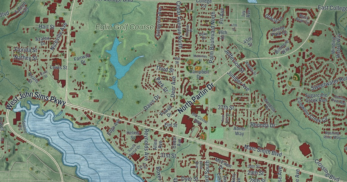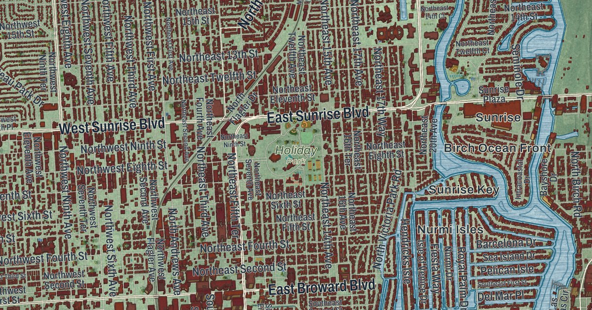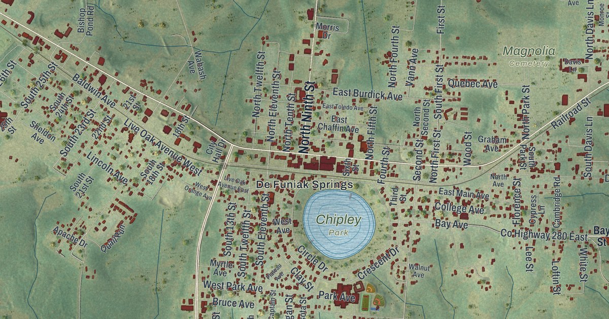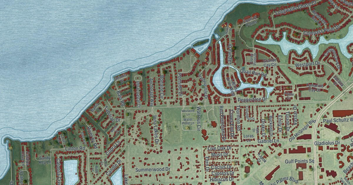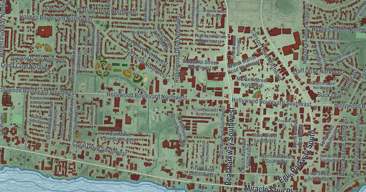
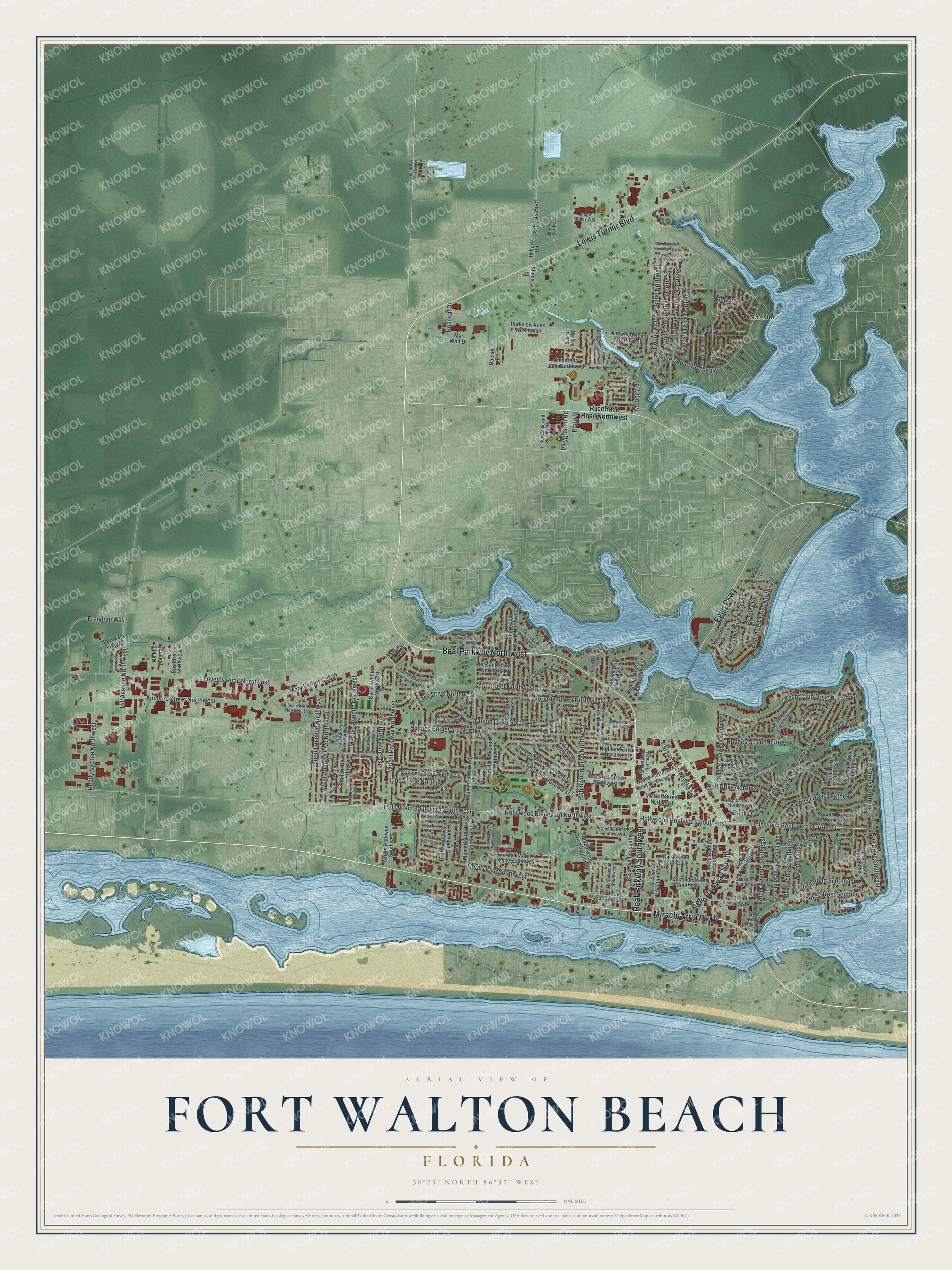
This beautifully detailed map of Fort Walton Beach, Florida was created in 2026 using aerial imagery combined with modern topographical, census, street and landmark data. It’s a one-of-a-kind view of Fort Walton Beach that combines accurate data with a vintage aesthetic. The map shows every building in its true location, many of the roads carry their names, and the shaded topographic relief shows the shape of the land.
Explore an aerial view of Fort Walton Beach, Florida
On the map you’ll find Garnier and Mary Esther Cutoff, along with Beal Parkway Northwest, Lewis Turner Boulevard, Miracle Strip Parkway, Beal Parkway Southwest, Eglin Parkway, Eglin Parkway South, Hollywood Boulevard Northwest, Hollywood Boulevard Southwest, Hollywood Boulevard Northeast, Hollywood Boulevard Southeast, and more. If you look closely you can even find your house accurately drawn in its correct location. Zoom in on the preview to look for yours.
Did You Know?
In 1861, Confederate volunteers known as the Walton Guards held a fortified camp here. Their job was to protect the Narrows from Union ships. They saw little action and left in August 1862. In 1932, the post office replaced Camp in the town’s name with Fort. The name Fort Walton Beach followed in 1953.
Take a closer look at the Fort Walton Beach map
Names on this map
These names are printed on this map.
Places: Garnier.
Streets and roads: Beal Parkway Northwest, Lewis Turner Boulevard, Miracle Strip Parkway, Beal Parkway Southwest, Eglin Parkway, Eglin Parkway South, Hollywood Boulevard Northwest, Hollywood Boulevard Southwest, Hollywood Boulevard Northeast, Hollywood Boulevard Southeast, Mary Esther Cutoff, Holmes Boulevard Northwest.
More street names, A to Z
Ajax Drive Northwest, Alconese Avenue Southeast, Alder Avenue Southeast, Anchors Street Northwest, Baker Avenue Northwest, Bass Avenue Southwest, Bay Drive Northeast, Bay Drive Southeast, Bayou Woods Drive Northwest, Bay Street Northwest, Beachview Drive Northeast, Bishop Avenue Northwest, Bradley Drive, Briarwood Circle Northwest, Brooks Street Southeast, Buck Drive Northeast, Buena Vista Lane, California Drive Northeast, Cape Drive Northwest, Carol Avenue Northwest, Carson Drive Northeast, Church Avenue Southeast, Cinderella Lane Northwest, Combs Manor Court, Comet Street Southwest, Coral Drive Southwest, Costaki Court Northwest, Country Club Avenue Northeast, Crewilla Drive Northwest, Deal Avenue Northwest, Deluna Road Southwest, Denton Boulevard Northwest, Driftwood Avenue Southwest, East Audrey Drive Northwest, Elliott Road Southeast, Elm Avenue Southeast, Fairway Avenue Northeast, Ferry Road Northeast, Ferry Road Southeast, First Street Southeast, First Street Southwest, Fourth Street, Freedom Way, Fulmar Circle Northeast, Gardner Drive Northeast, Golf Course Drive Northeast, Greenbrier Drive Northeast, Gregory Avenue, Hemlock Drive Northwest, Highland Drive Northwest, Hill Avenue Northwest, Hospital Drive, Hospital Drive Northeast, Hughes Street Northeast, Hummingbird Avenue Northwest, Industrial Street Northwest, Iowa Drive Northeast, Iva Place Southwest, Jet Drive Northwest, Jonquil Avenue Northwest, Judge Maney Way, Kepner Drive Northeast, Lake Drive Northwest, Lakeview Road Northwest, Laurie Drive Northeast, Leah Miller Drive Northwest, Liberty Lane Northwest, Linda Lane Northwest, Linstew Drive Northwest, Linwood Road Northwest, Loizos Drive Northwest, Lovejoy Road Northwest, Magnolia Avenue Southeast, Marilyn Avenue Northwest, Marshall Court, Marshall Drive, Mar Walt Drive, Mc Griff Street Northeast, Memorial Parkway Northwest, Memorial Parkway Southwest, Merioneth Drive Northeast, Middle Drive, Mooney Road, Mooney Road Northeast, Moriarty Street Northwest, Nan Place, Nebraska Avenue Northeast, North Beal Extended, Northwest Butler Drive, Oakdale Road Northwest, Oakland Circle Northwest, Oak Street Southeast, Okahatchee Circle Southeast, Okaloosa Road Northeast, Parkview Road Northwest, Patio Street, Playground Road, Pleasant Street Northwest, Poulton Drive Northwest, Powell Drive Northeast, Pryor Road Southeast, Racetrack Road Northwest, Rachel Drive, Rainbow Drive Northwest, Ready Avenue Northwest, Roberts Boulevard, Roberts Road, Robinwood Drive Northwest, Robinwood Drive Southwest, Rogers Street Northwest, Rose Marie Lane Southwest, Rue de Le Roi Street Northeast, Second Street Southeast, Sellers Place Northwest, Shady Street, Shannon Court Northwest, Shell Avenue Northeast, Silva Drive Northwest, Sleepy Oaks Road Northwest, Smith Drive Northeast, Sotir Street Northwest, Staff Drive Northeast, Sudduth Circle Northeast, Sullivan Street Northwest, Temple Avenue Southwest, Texas Street Northeast, Third Avenue Southwest, Third Street Southeast, Tupelo Avenue Southeast, Vaughn Street Northwest, Viking Drive Northwest, Vista Street Southwest, Walter Martin Road Northeast, Walton Drive Northeast, Watson Drive Northwest, Waynel Circle Southeast, Wedgewood Lane Northeast, West Audrey Drive Northwest, Willard Road Northwest, Williams Street Northwest, Windsor Lane, Wright Parkway Northwest, Wright Parkway Southwest, Yacht Club Drive Northeast.
See it on a wall
The Fort Walton Beach map as a framed print. Swipe for more.


This beautifully detailed map of Fort Walton Beach makes an attractive addition to your office, library, or den, and it can even be used to teach children the geography and history of the area. It also makes a great gift for someone who left Fort Walton Beach and still calls it home. When you’re done exploring, click here to get your copy of the Fort Walton Beach map.