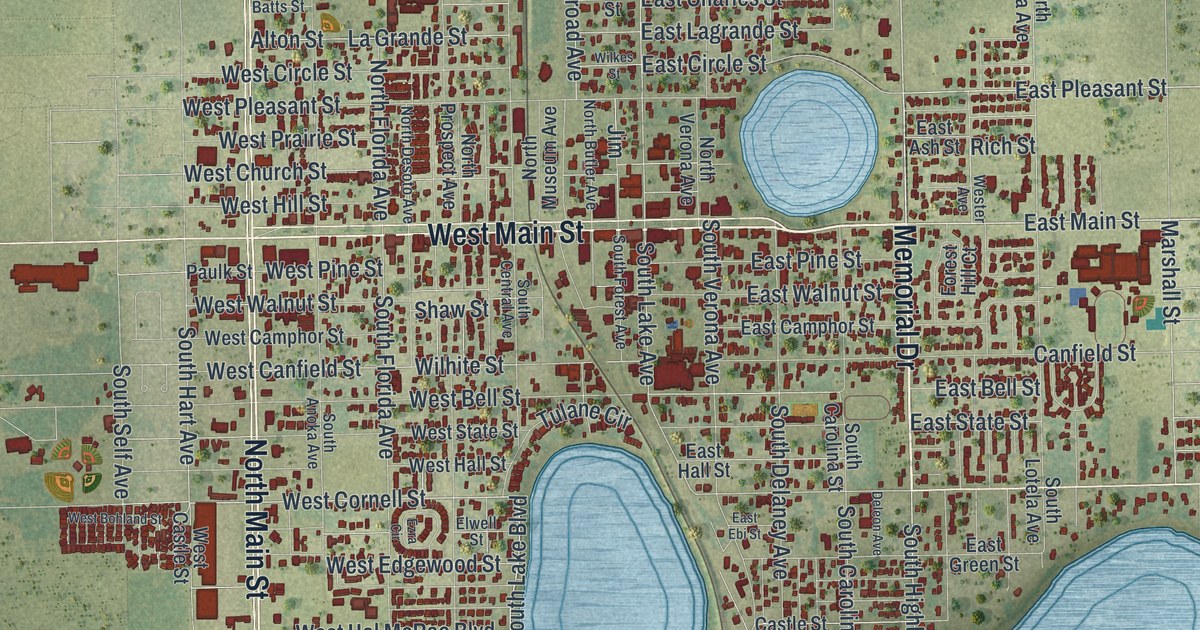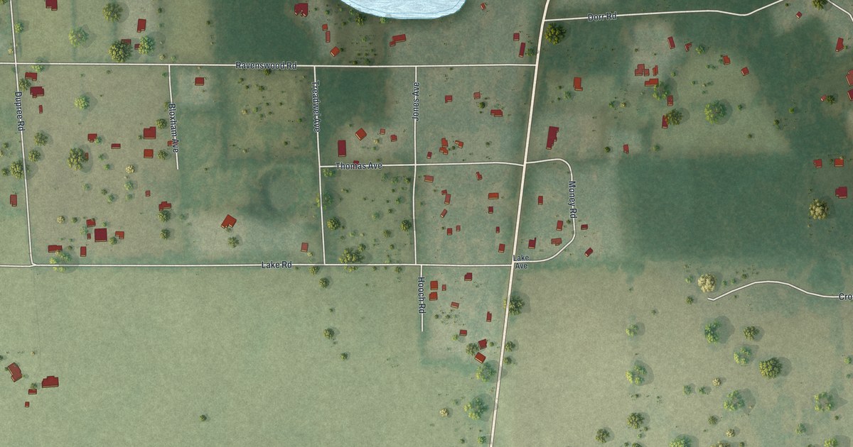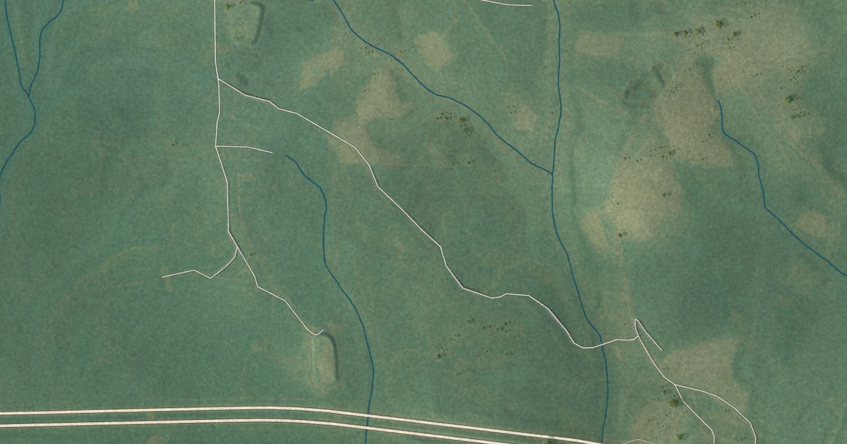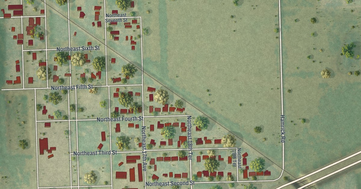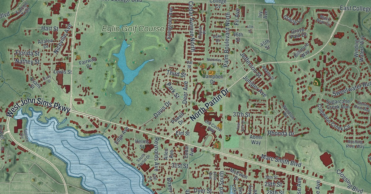
This beautifully detailed map of Niceville, Florida was created in 2026 using aerial imagery combined with modern topographical, census, street and landmark data. It’s a one-of-a-kind view of Niceville that combines accurate data with a vintage aesthetic. The map shows every building in its true location, many of the roads carry their names, and the shaded topographic relief shows the shape of the land.
Explore an aerial view of Niceville, Florida
On the map you’ll find Dana Point and Eglin Golf Course, along with John Sims Parkway, West John Sims Parkway, North Partin Drive, Crossing Boulevard, Fir Avenue, 21st Street, Cedar Avenue South, Galway Drive, East College Boulevard, Palm Boulevard North, and more. If you look closely you can even find your house accurately drawn in its correct location. Zoom in on the preview to look for yours.
Did You Know?
Mail service started here on July 21, 1868, when the place was known as Boggy. On November 5, 1910, the name officially became Niceville. The new choice came from the daughter of the local postmaster.
Take a closer look at the Niceville map

Names on this map
These names are printed on this map.
Places: Dana Point and Eglin Golf Course.
Streets and roads: John Sims Parkway, West John Sims Parkway, North Partin Drive, Crossing Boulevard, Fir Avenue, 21st Street, Cedar Avenue South, Galway Drive, East College Boulevard, Palm Boulevard North, College Boulevard, Canal Drive.
More street names, A to Z
17th Street, 18th Street, 20th Street, 22nd Street, 23rd Street, 26th Street, 27th Street, 28th Street, 29th Street, 30th Street, 31st Street, 37th Street, 45th Street, 46th Street, 47th Street, Abner Way, Adams Street, Allen Avenue, Als Drive, Azalea Drive, Bahia Vista Drive, Bailey Drive, Bally Way, Bayou Drive, Bayshore Drive, Beverly Drive, Biltmore Way, Biscayne Lane, Black Bear Circle, Boxer Street, Byrne Street, Cadillac Avenue, Campbell Drive, Caraway Drive, Cedar Avenue, Cedar Avenue North, Christy Avenue, Coldwater Creek Circle, College Boulevard East, College Cv, Coral Drive, Dana Pointe, Darlington Oak Drive, Davis Drive, Deer Avenue, Deer Moss Loop, Dogwood Avenue, Drew Court, Duke Drive, Duncan Drive, Dunn Court, Dyer Street, Early Street, Edge Avenue, Edgewater Drive, Elderflower Drive, Eleventh Street, Elm Street, Emmett Drive, Evans Street, Everglade Drive, Evergreen Avenue, Fairway Drive, Fairwood Drive, Falcon Trail, Fall Street, Finck Road, Florida Street, Forest Road, Foxglove Run, Friar Tuck Drive, Gracie Lane, Grove Park Drive, Harding Road, Hart Street, Helms Street, Hickory Avenue, Hillside Drive, Howell Road, Hudson Circle, Iowa Street, Ivy Avenue, Jefferson Street, Judith Avenue, Julia Avenue, Juniper Avenue, Karen Court, Kelly Road, Kildare Circle, Killarney Road, Kumquat Avenue, Lewis Street, Linden Avenue, Magnolia Shores Drive, Maple Avenue, Marc Smith Boulevard, Marina Pointe Drive, McEwen Drive, McKinley Street, Meigs Drive, Mulry Drive, Nathey Street, Niceville Avenue, Nutmeg Avenue, Oak Avenue, Old Costal Highway, Palm Boulevard South, Paradise Road, Parker Drive, Park Street, Perdido Circle, Persimmon Way, Phyllis Avenue, Pine Avenue, Pine Lake Drive, Pin Oak Circle, Pontevedra Lane, Poplar Place, Powell Drive, Rattan Palm Drive, Red Maple Way, Reeves Street, Reindeer Road, Reynolds Avenue, Rhonda Drive, Riley Road, Roberts Drive, Rocky Bayou Drive, Roscommon Boulevard, Rushing River Way, Sabal Palm Drive, Saint Andrews Drive, Scott Road, South Partin Drive, Spence Circle, Spencer Place, Sterling River Way, Sugarcane Creek Run, Sweet Basil Lane, Sweetwater Run, Teresa Court, Third Street, Town Center Boulevard, Valparaiso Boulevard, Vat Street, Weeden Island Drive, West College Boulevard, Winding Waters Way, Wise Avenue, Woodlow Road, Woods Drive, Yacht Club Drive.
See it on a wall
The Niceville map as a framed print. Swipe for more.


This beautifully detailed map of Niceville makes an attractive addition to your office, library, or den, and it can even be used to teach children the geography and history of the area. It also makes a great gift for anyone who grew up in Niceville or moved away. When you’re done exploring, click here to get your copy of the Niceville map.