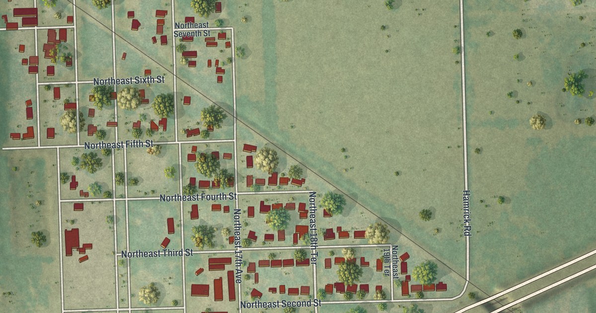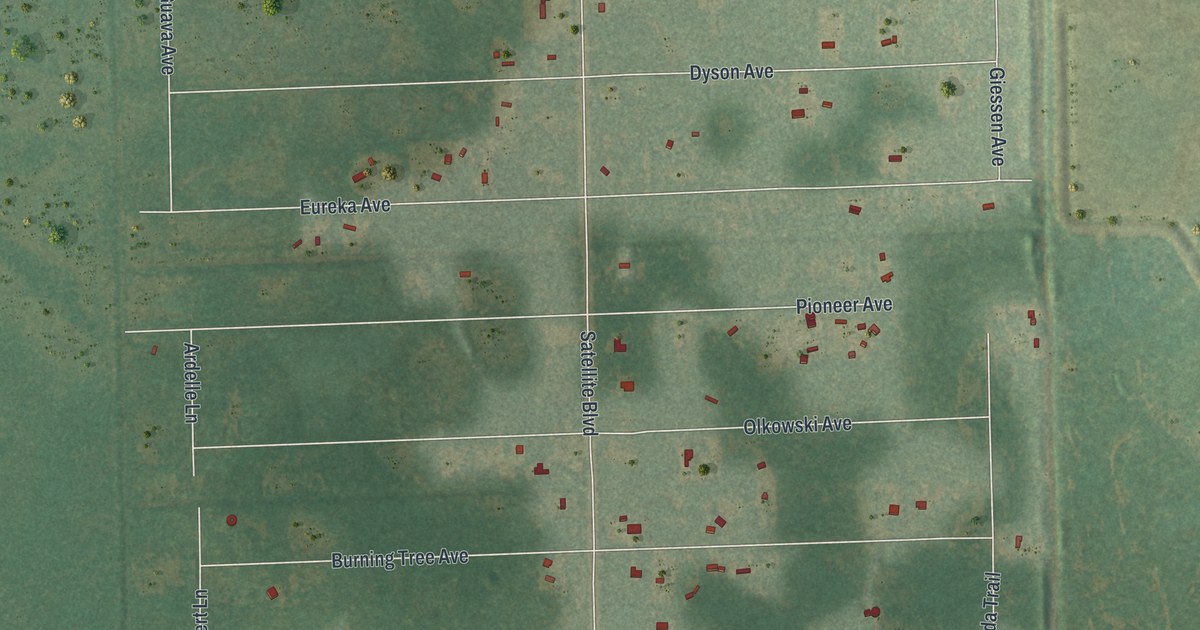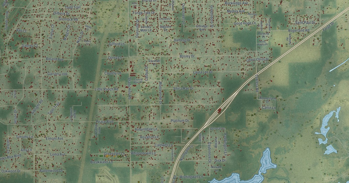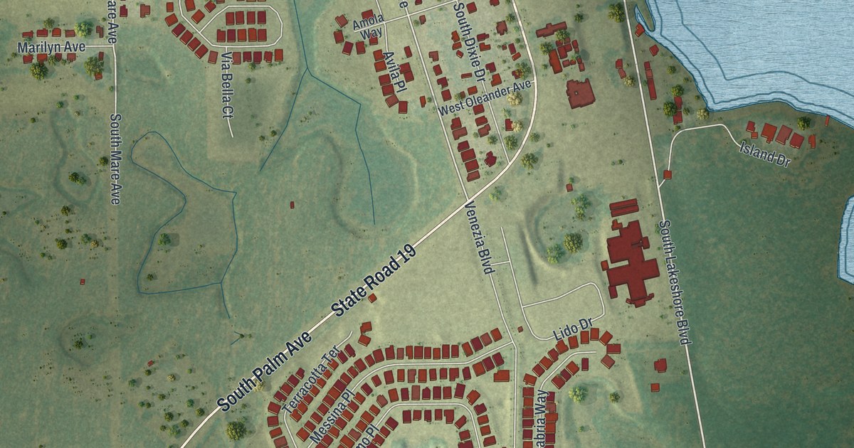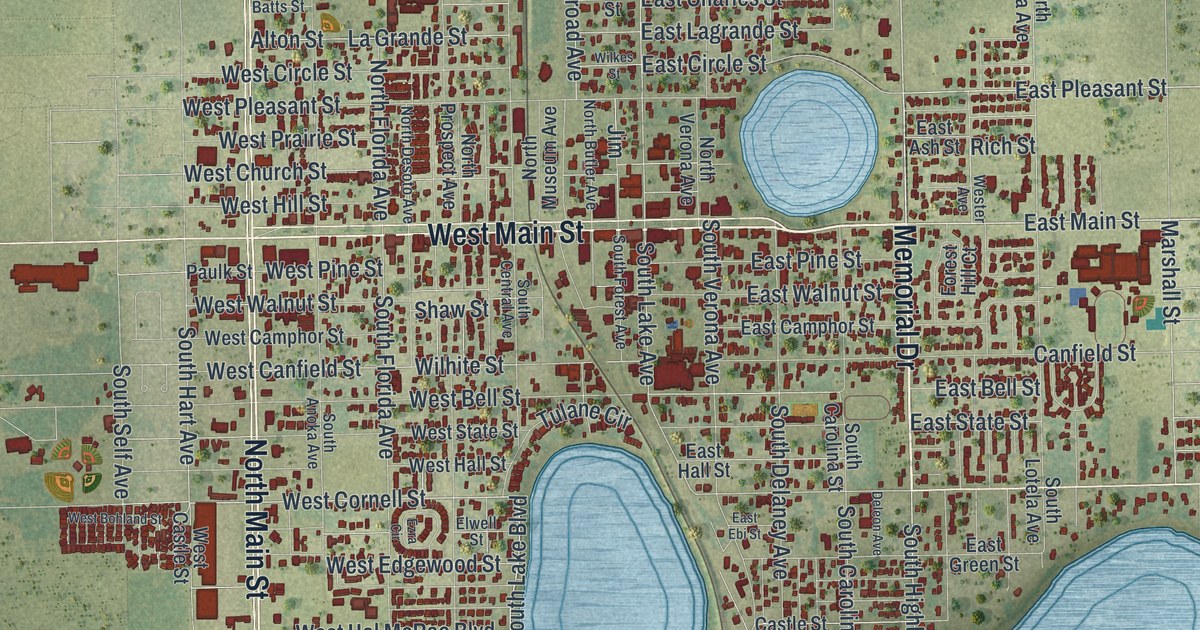
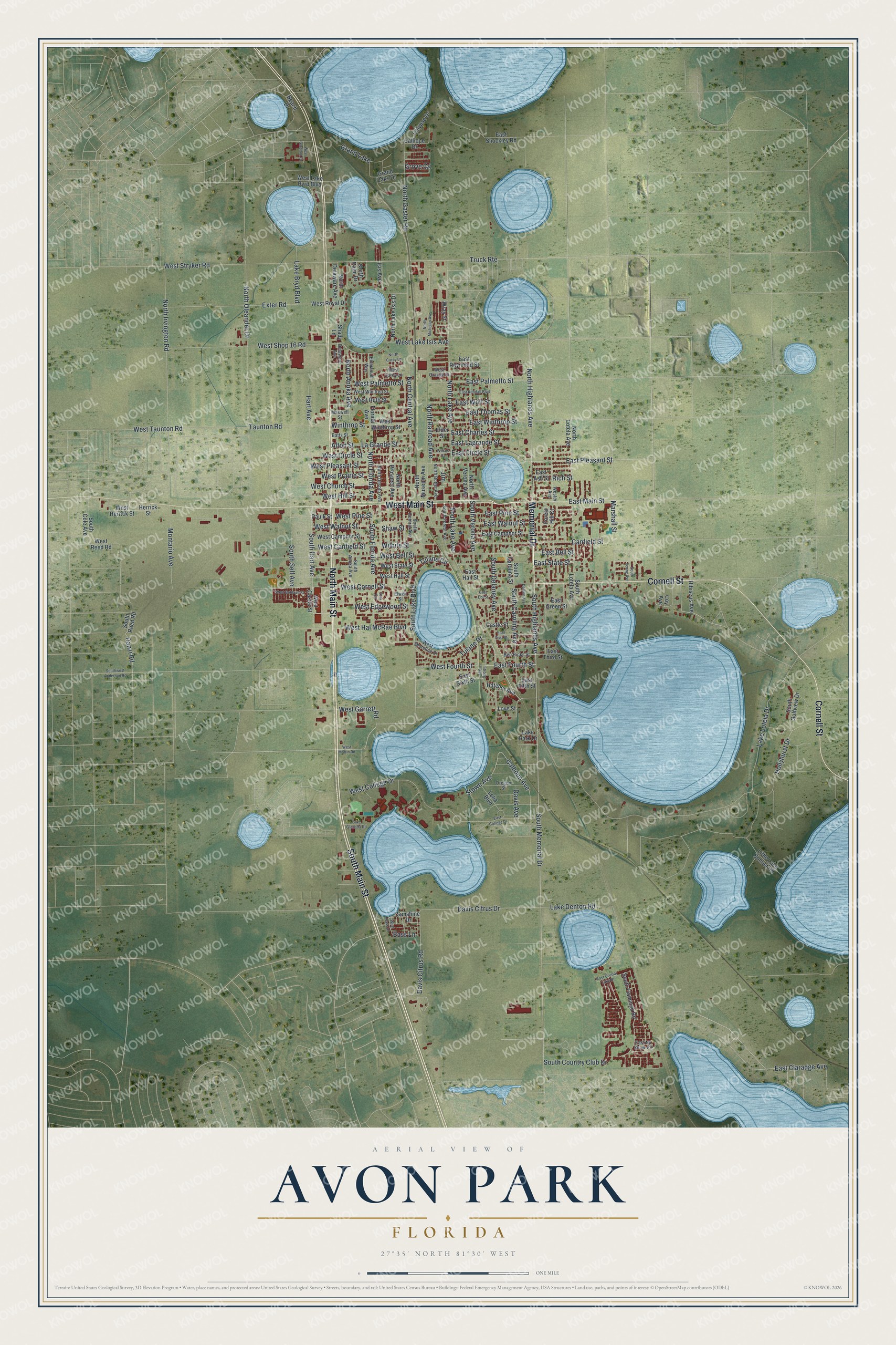
This beautifully detailed map of Avon Park, Florida was created in 2026 using aerial imagery combined with modern topographical, census, street and landmark data. It’s a one-of-a-kind view of Avon Park that combines accurate data with a vintage aesthetic. The map shows every building in its true location, many of the roads carry their names, and the shaded topographic relief shows the shape of the land.
Explore an aerial view of Avon Park, Florida
On the map you’ll find South Main Street, North Main Street, Memorial Drive, West Main Street, Cornell Street, South Lake Boulevard, West Cornell Street, North Highlands Avenue, East Main Street, East Fourth Street, South Carolina Avenue, South Highlands Avenue, and more. If you look closely you can even find your house accurately drawn in its correct location. Zoom in on the preview to look for yours.
Did You Know?
Avon Park’s first permanent settler was Oliver Martin Crosby of Connecticut, who came in 1884 to study Everglades wildlife. He recruited settlers, and many came from England. Settlers from Stratford-upon-Avon named the town after their English home.
Take a closer look at the Avon Park map
Names on this map
These names are printed on this map.
Places: Grand Lake.
Streets and roads: South Main Street, North Main Street, Memorial Drive, West Main Street, Cornell Street, South Lake Boulevard, West Cornell Street, North Highlands Avenue, East Main Street, East Fourth Street, South Carolina Avenue, South Highlands Avenue.
More street names, A to Z
Alton Street, Bass Lane, Batts Street, Beach Drive, Ben Hicks Street, Calhoun Avenue, Calliope Drive, Calypso Drive, Canfield Street, Castle Street, Coy Avenue, Danzi Road, Davis Avenue, Davis Citrus Drive, Davis Citrus Road, Delaware Avenue, Deleon Avenue, East Ash Street, East Bell Street, East Camphor Street, East Charles Street, East Circle Street, East Claradge Avenue, East College Drive, East Crystal Lake Drive, East Ebi Street, East Fifth Street, East First Street, East Green Street, East Hall Street, East Kendall Boulevard, East Lagrande Street, East No Snow Circle, East Palmetto Street, East Pine Street, East Pleasant Street, East Raymond Street, East Shockley Road, East Sixth Street, East State Street, East Third Street, East Thomas Street, East Walnut Street, East Winthrop Street, East Wolf Street, Elder Street, Elwell Street, Emmanuel Way, Exter Road, Ezra Circle, Florida Avenue, Forest Hill Court, Grand Oaks Drive, Grove Circle, Hart Avenue, Hatcher Avenue, Herrick Street, Hibiscus Avenue, Hollyhurst Drive, Isis Avenue, Jim, La Grande Street, Lake Bryd Boulevard, Lake Denton Road, Lake Glenada Road, Lake Lotela Drive, Lake Park Drive, Lelia Boulevard, Little Lake Bonnet Road, Love Street, Marshall Street, Maxwell Street, Montario Avenue, North Anoka Avenue, North Butler Avenue, North Carey Lane, North Central Avenue, North Delaware Avenue, North Desoto Avenue, North Florida Avenue, North Gaster Road, North Irvington Road, North Lake Avenue, North Lake Isis Drive, North Lotela Avenue, North Michigan Avenue, North Museum Avenue, North Oleander Drive, North Palm Drive, North Prospect Avenue, North Railroad Avenue, North Verona Avenue, Oregon Street, Paulk Street, Rich Street, Shady Lane, Shaw Street, South Anoka Avenue, South Carolina Street, South Central Avenue, South Cole Avenue, South Country Club Drive, South Delaney Avenue, South Flamingo Road, South Florida Avenue, South Forest Avenue, South Golfview Drive, South Hart Avenue, South Lake Avenue, South Lotela Avenue, South Memorial Drive, South Reed Road, South Self Avenue, South Verona Avenue, Southwest Anderson Road, South Young Avenue, Stowe Avenue, Strong Avenue, Sunshine Drive, Taunton Road, Truck Route, Tulane Circle, Tulane Drive, West Bass Lane, West Bell Street, West Bohland Street, West Camphor Street, West Canfield Street, West Carey Lane, West Castle Street, West Church Street, West Circle Street, West College Drive, West Edgewood Street, Wester Avenue, West Fourth Street, West Garrett Road, West Gladiola Drive, West Hall Street, West Hal McRae Boulevard, West Herrick Street, West Hill Street, West Lake Byrd Boulevard, West Lake Isis Avenue, West Martin Road, West Orange Street, West Palmetto Street, West Pine Street, West Pleasant Street, West Prairie Street, West Reed Road, West Royal Drive, West Ruth Street, West Shop 16 Road, West Shoreline Drive, West State Street, West Stryker Road, West Taunton Road, West Walnut Street, West Winifred Street, West Winthrop Street, Wilhite Street, Wilkes Street, Winthrop Street, Wray Street.
See it on a wall
The Avon Park map as a framed print. Swipe for more.


This beautifully detailed map of Avon Park makes an attractive addition to your office, library, or den, and it can even be used to teach children the geography and history of the area. It also makes a great gift for anyone with Avon Park roots. When you’re done exploring, click here to get your copy of the Avon Park map.