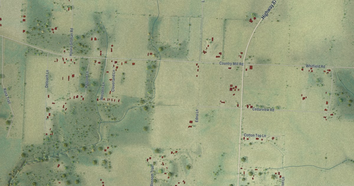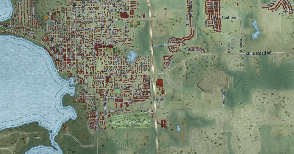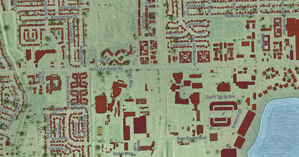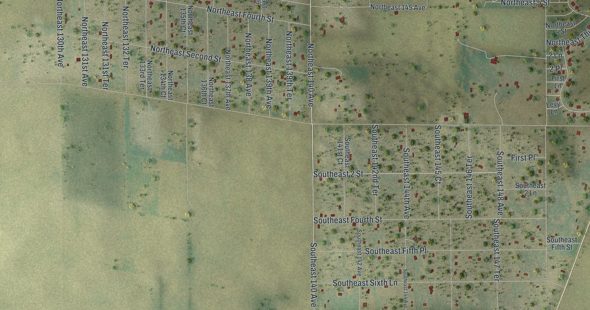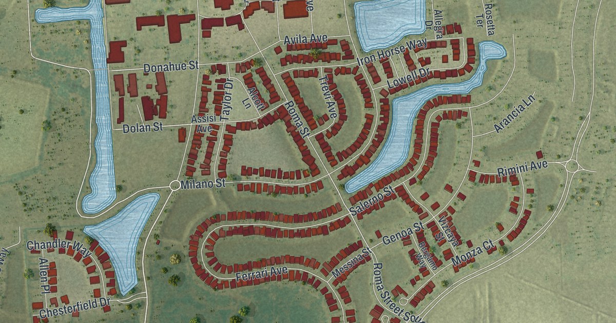
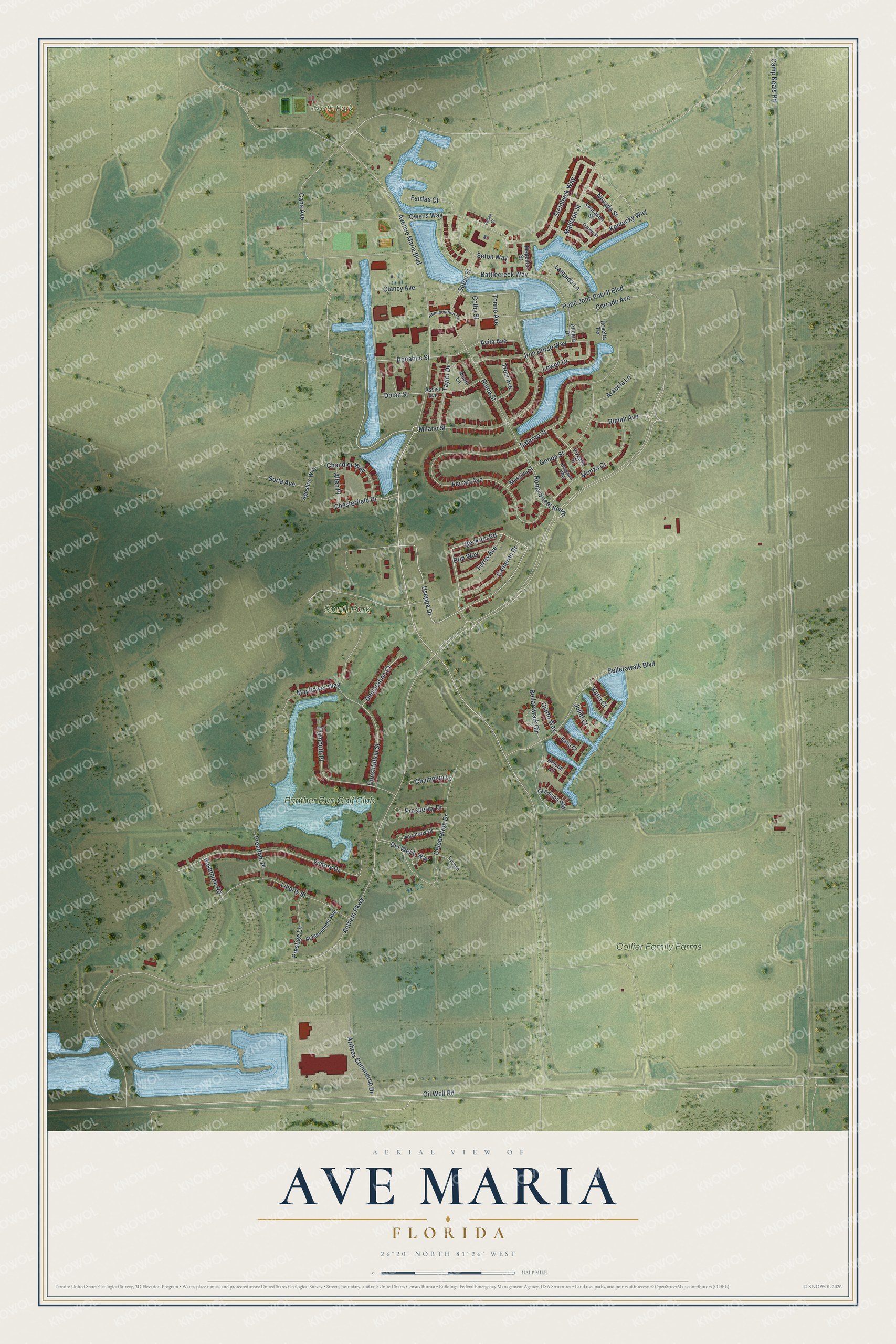
This beautifully detailed map of Ave Maria, Florida was created in 2026 using aerial imagery combined with modern topographical, census, street and landmark data. It’s a one-of-a-kind view of Ave Maria that combines accurate data with a vintage aesthetic. The map shows every building in its true location, many of the roads carry their names, and the shaded topographic relief shows the shape of the land.
Explore an aerial view of Ave Maria, Florida
On the map you’ll find Collier Family Farms, North Park, South Park, and Panther Run Golf Club, along with Avenue Maria Boulevard, Useppa Drive, Beckton Road, Donahue Street, Dolan Street, Milano Street, Roma Street South, Rimini Avenue, and more. If you look closely you can even find your house accurately drawn in its correct location. Zoom in on the preview to look for yours.
Take a closer look at the Ave Maria map
Names on this map
These names are printed on this map.
Places: Collier Family Farms, North Park, South Park and Panther Run Golf Club.
Streets and roads: Avenue Maria Boulevard, Useppa Drive, Beckton Road, Donahue Street, Dolan Street, Milano Street, Roma Street South, Rimini Avenue, Anthem Parkway, Victory Drive, Celebration Drive, Camp Keais Road.
More street names, A to Z
Achievement Avenue, Agostino Way, Alcott Lane, Allegra Drive, Allen Place, Annunciation Circle, Arancia Lane, Arthrex Commerce Drive, Assisi Avenue, Avila Avenue, Battlecreek Way, Bellarawalk Circle, Bellerawalk Boulevard, Bergamo Way, Brin Way, Cameron Drive, Cana Avenue, Champion Lane, Chandler Way, Chesterfield Drive, Ciatto Way, Clancy Avenue, Colby Street, Constitution Street, Corrado Avenue, Declaration Court, Del Webb Way, Edison Street, Fairfax Court, Ferrari Avenue, Ferris Avenue, Freedom Place, Genoa Street, Guadiana Way, Harmony Drive, Helena Court, Iron Horse Way, Italia Court, Juliet Court, Katia Court, Kentucky Way, Lamaida Lane, Lancaster Street, Liberty Street, Lowell Drive, Madison Street, Magellan Street, Mayflower Way, Messina Street, Monza Court, Nevada Street, Ogden Street, Oil Well Road, Owens Way, Plymouth Place, Pope John Paul II Boulevard, Prestige Lane, Prosperity Drive, Roma Street, Rosetta Terrace, Rushmore Road, Salerno Street, Seton Street, Seton Way, Soria Avenue, Steinbeck Way, Taylor Drive, Torino Avenue, Trevi Avenue, Triumph Lane, Vizcaya Street.
See it on a wall
The Ave Maria map as a framed print. Swipe for more.


This beautifully detailed map of Ave Maria makes an attractive addition to your office, library, or den, and it can even be used to teach children the geography and history of the area. It also makes a great gift for anyone who grew up in Ave Maria or moved away. When you’re done exploring, click here to get your copy of the Ave Maria map.