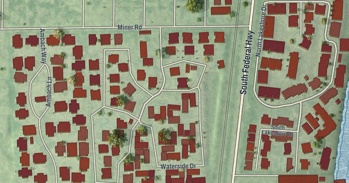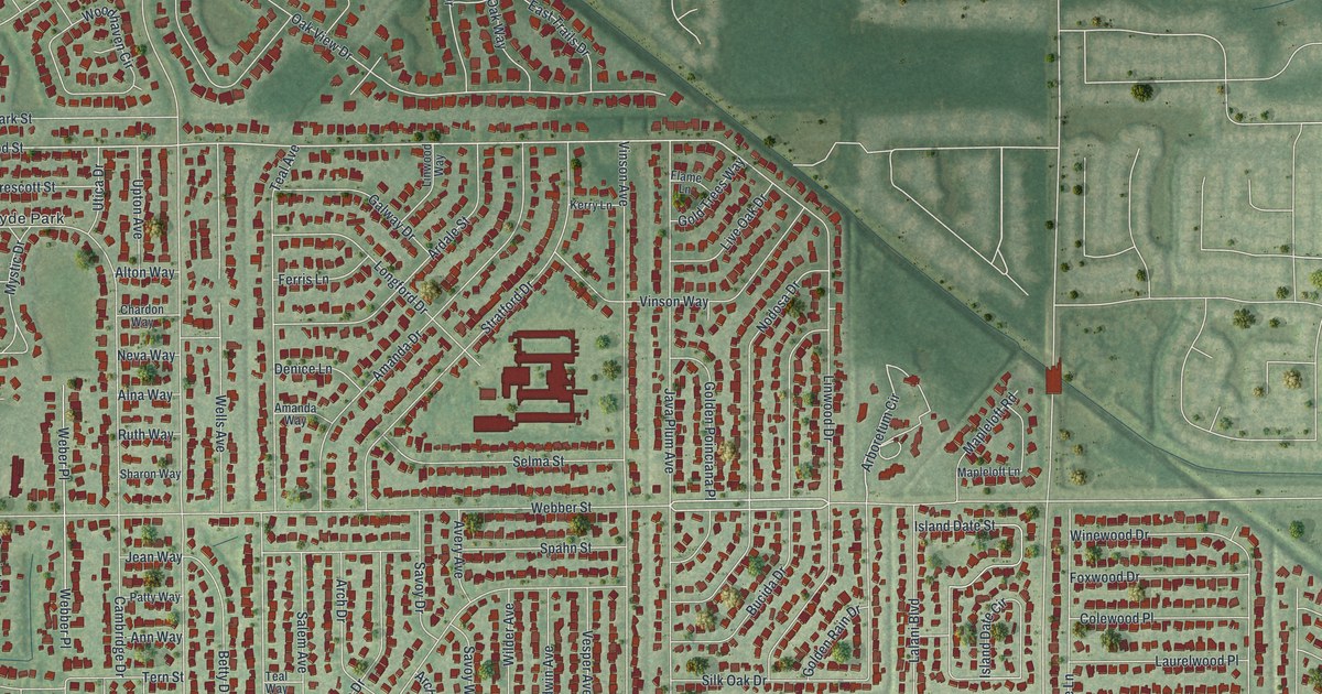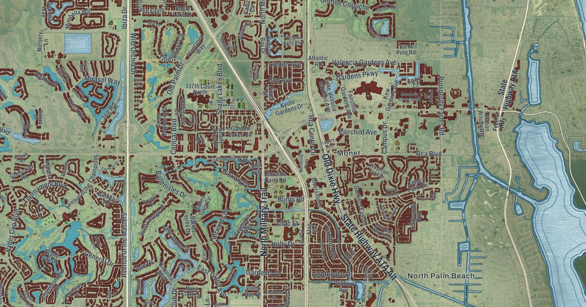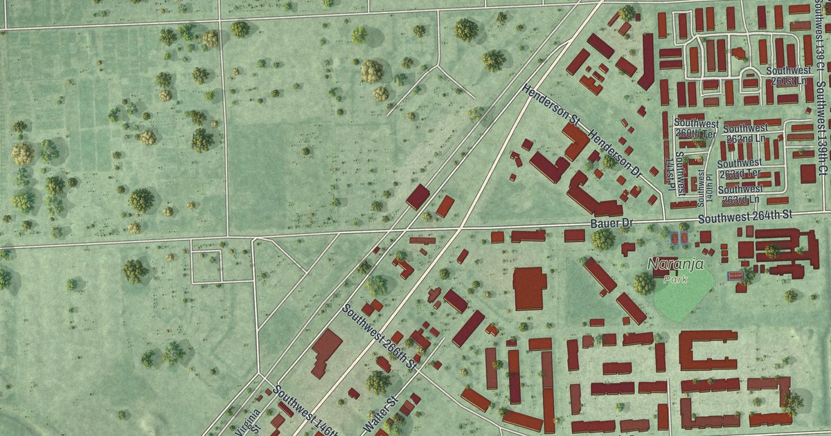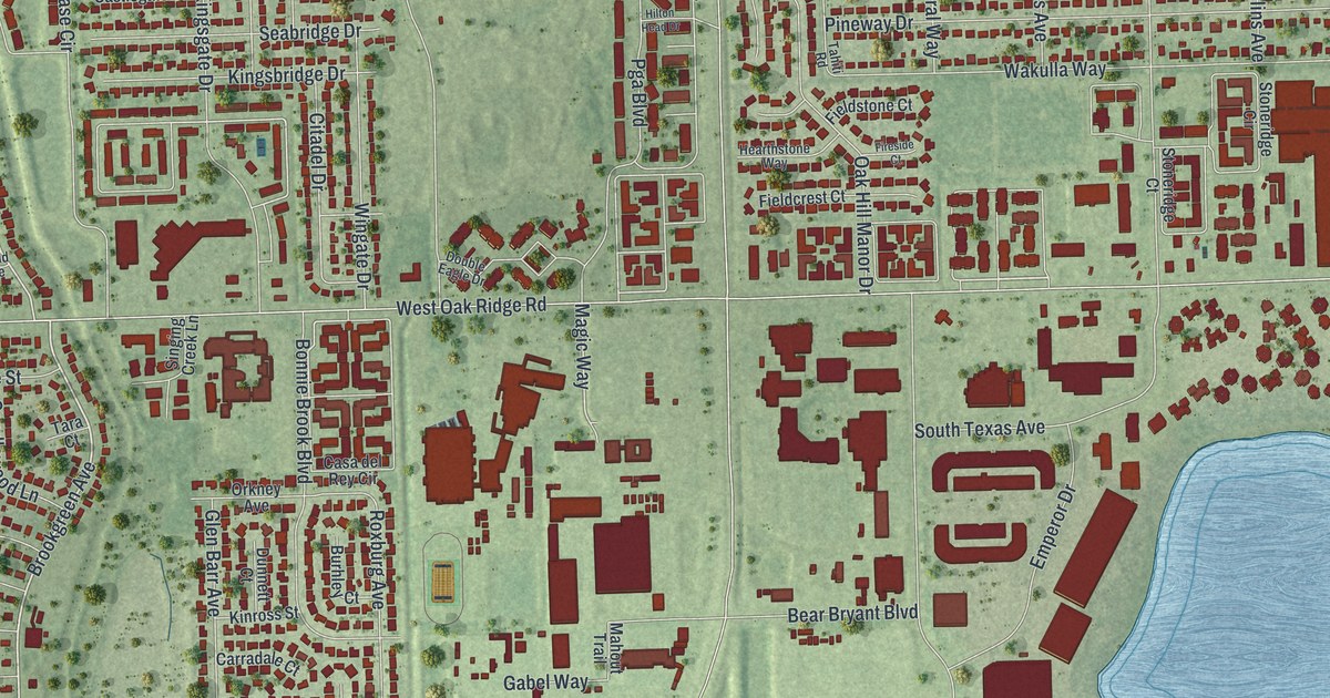
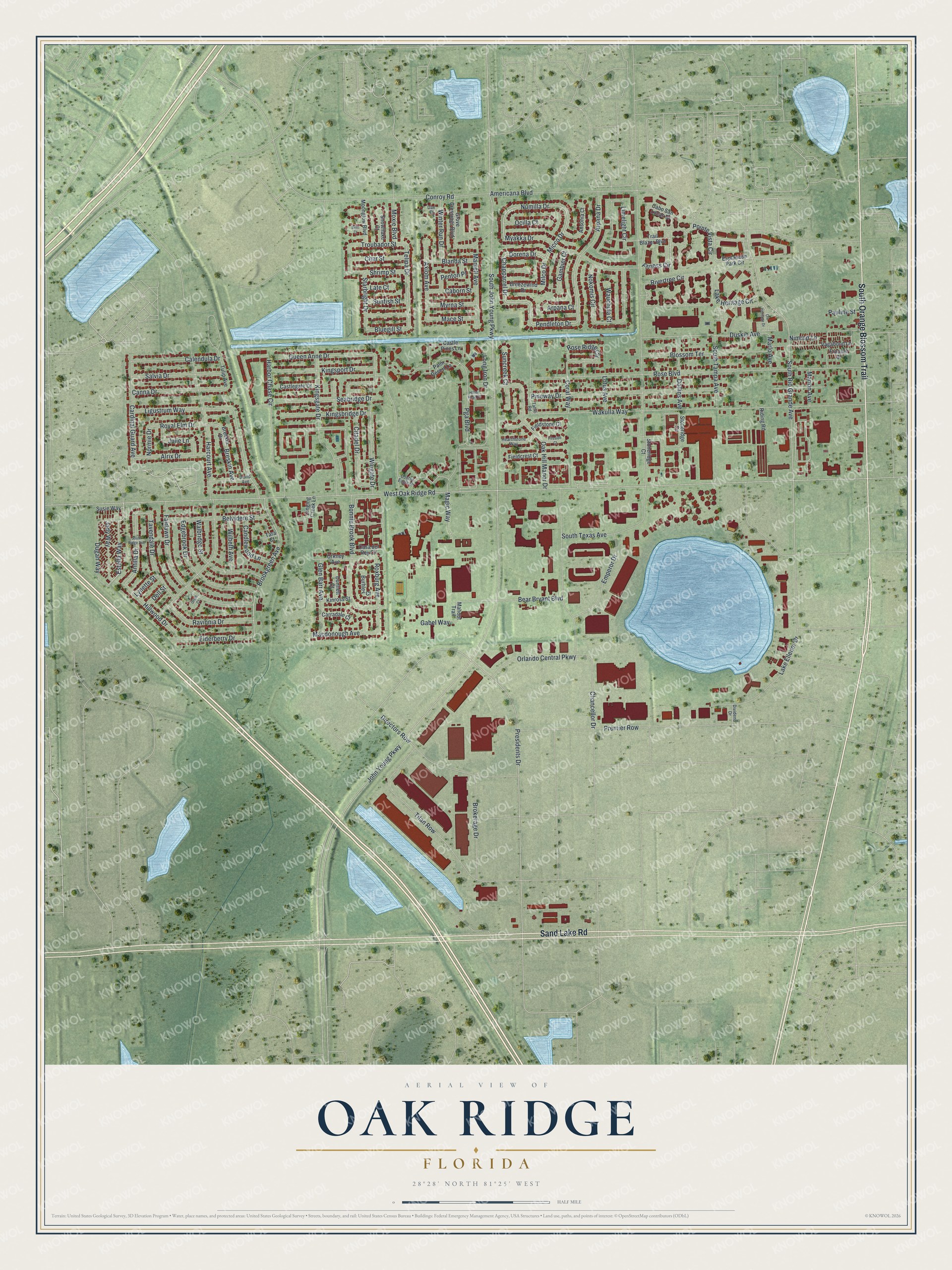
This beautifully detailed map of Oak Ridge, Florida was created in 2026 using aerial imagery combined with modern topographical, census, street and landmark data. It's a modern aerial view of Oak Ridge in Orange County, Florida, that combines modern data with a vintage aesthetic. The roads feature printed names, and if you look closely you can find your exact house accurately shown in its correct location.
Explore an aerial view of Oak Ridge, Florida
On this map you'll find South Orange Blossom Trail, Sand Lake Road, Fitness Circle, Numilla Drive, Micco Drive, Estella Way, Chapparrel Drive, Dorena Drive, Pendleton Drive, Brookgreen Avenue, Arpana Drive, South Rio Grande Avenue, and more. Each red shape is a building, so zoom in on the preview and look for yours.
Oak Ridge is a community in Orange County. The Census Bureau counted 25,062 people here in 2020. Oak Ridge sits about 2 miles northwest of Sky Lake, 2 miles northeast of Tangelo Park and 3 miles southwest of Holden Lakes. The map prints the town name in its title panel, with the coordinates below it.
Take a closer look at the Oak Ridge map
Names on this map
These names are printed on this map.
Streets and roads: South Orange Blossom Trail, Sand Lake Road, Fitness Circle, Numilla Drive, Micco Drive, Estella Way, Chapparrel Drive, Dorena Drive, Pendleton Drive, Brookgreen Avenue, Arpana Drive, South Rio Grande Avenue.
More street names, A to Z
Alrix Drive, Americana Boulevard, Ansonia Court, Antilla Drive, Arpana Court, Axiom Avenue, Bear Bryant Boulevard, Belvidere Street, Blanda Street, Blossom Terrace, Bluegill Street, Bonnie Brook Boulevard, Breezewind Drive, Breskin Avenue, Breskin Drive, Brim Court, Brokerage Drive, Burhley Court, Caborn Street, Cabo San Lucas Drive, Calendula Drive, Candlewood Lane, Canna Drive, Cardinal Guard Avenue, Carradale Court, Casa del Rey Circle, Castlegate Drive, Castle Pines Lane, Chancellor Drive, Char Street, Citadel Drive, Conroy Road, Coral Way, Dae Court, David Avenue, Dell Street, Directors Row, Dividend Drive, Dollins Avenue, Double Eagle Drive, Dugan Way, Dunnett Court, Duskin Avenue, Edgebrook Drive, Elderberry Drive, Emperor Drive, Esplanade Park Circle, Fairlawn Drive, Fieldcrest Court, Fieldstone Court, Fireside Court, Frontier Drive, Gabel Way, Gambier Court, Glen Barr Avenue, Grove Crossings Boulevard, Harbor Chase Circle, Harcourt Avenue, Hearthstone Way, Hillwood Drive, Hilton Head Drive, Jody Way, John Young Parkway, Julie Lane, Kingsbridge Drive, Kingsgate Drive, Kingsport Drive, Kinross Street, Lake Ellenor Drive, Lake Heritage Circle, Late Court, Ligustrum Way, Limelight Circle, Long Iron Drive, Lotus Avenue, Lynette Street, Macdonough Avenue, Mace Street, Magic Way, Mahout Trail, Marion Avenue, Marlo Avenue, Marvell Avenue, Milco Drive, Moonglow Boulevard, Moxie Boulevard, Myakka Drive, Myrna Street, Nimrod Lane, Nokomis Circle, Normie Drive, Oak Hill Manor Drive, Ocilla Court, Ole Heritage Drive, Orion Court, Orkney Avenue, Orlando Central Parkway, Palm Desert Lane, Pauline Street, Penton Place, Pga Boulevard, Pineway Drive, Pointe Vista Circle, Premier Row, Presidents Drive, Queen Anne Drive, Ravinnia Drive, Riding Road, Rivertree Circle, Rose Boulevard, Rose Ridge Circle, Roxburg Avenue, Royal Elm Drive, Salvia Drive, Seabridge Drive, Shrimp Street, Singing Creek Lane, Snowflake Court, South John Young Parkway, South Ridge Avenue, South Tampa Avenue, South Texas Avenue, Starbright Drive, Stoneridge Circle, Stoneridge Court, Suncreek Court, Sunfish Street, Susie Way, Tahiti Road, Tara Court, Tavendale Drive, Telipa Drive, Titan Row, Trail Blazer Boulevard, Troubador Street, Tulip Avenue, Vagabond Lane, Wakulla Way, Walbridge Street, Wauchula Court, West Oak Ridge Road, Wilbeth Avenue, Wingate Drive, Winter Run Drive.
See it on a wall
The Oak Ridge map as a framed print. Swipe for more.


Created by KNOWOL in 2026. The buildings are small red shapes, the roads carry their printed names, and shaded relief shows the shape of the land. The title panel reads "AERIAL VIEW OF OAK RIDGE, FLORIDA" with 28°28' NORTH 81°25' WEST.
It suits a den, a classroom or a front hall, and it makes a gift for anyone with Oak Ridge roots. Open the preview and find the block you know. See sizes and frames for the Oak Ridge map.