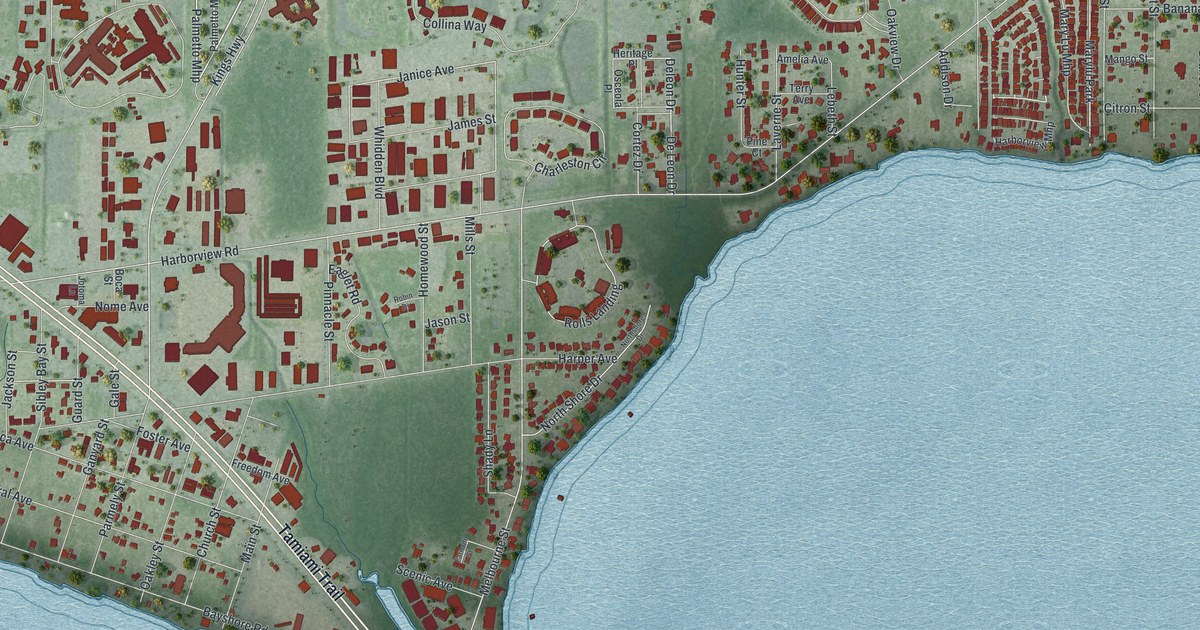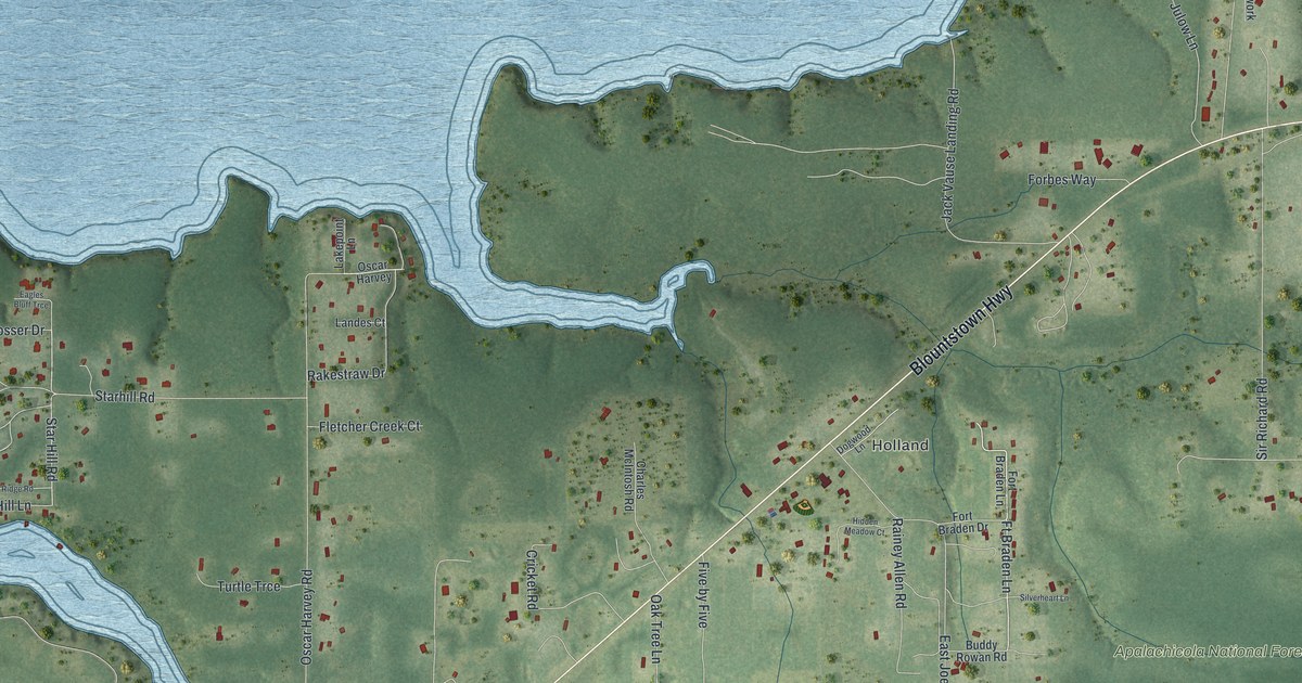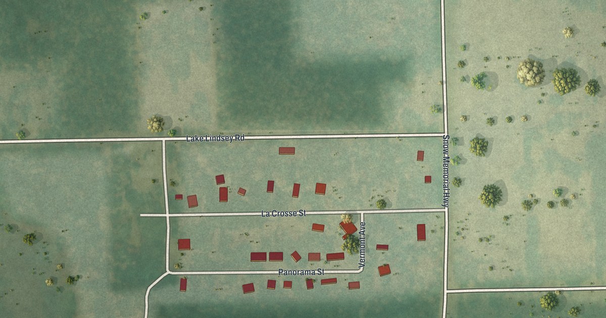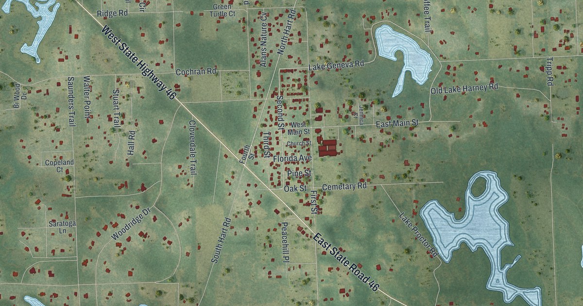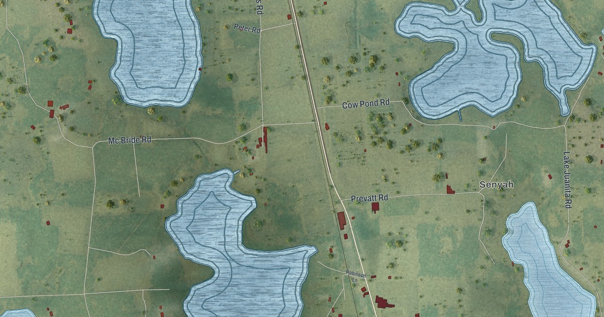
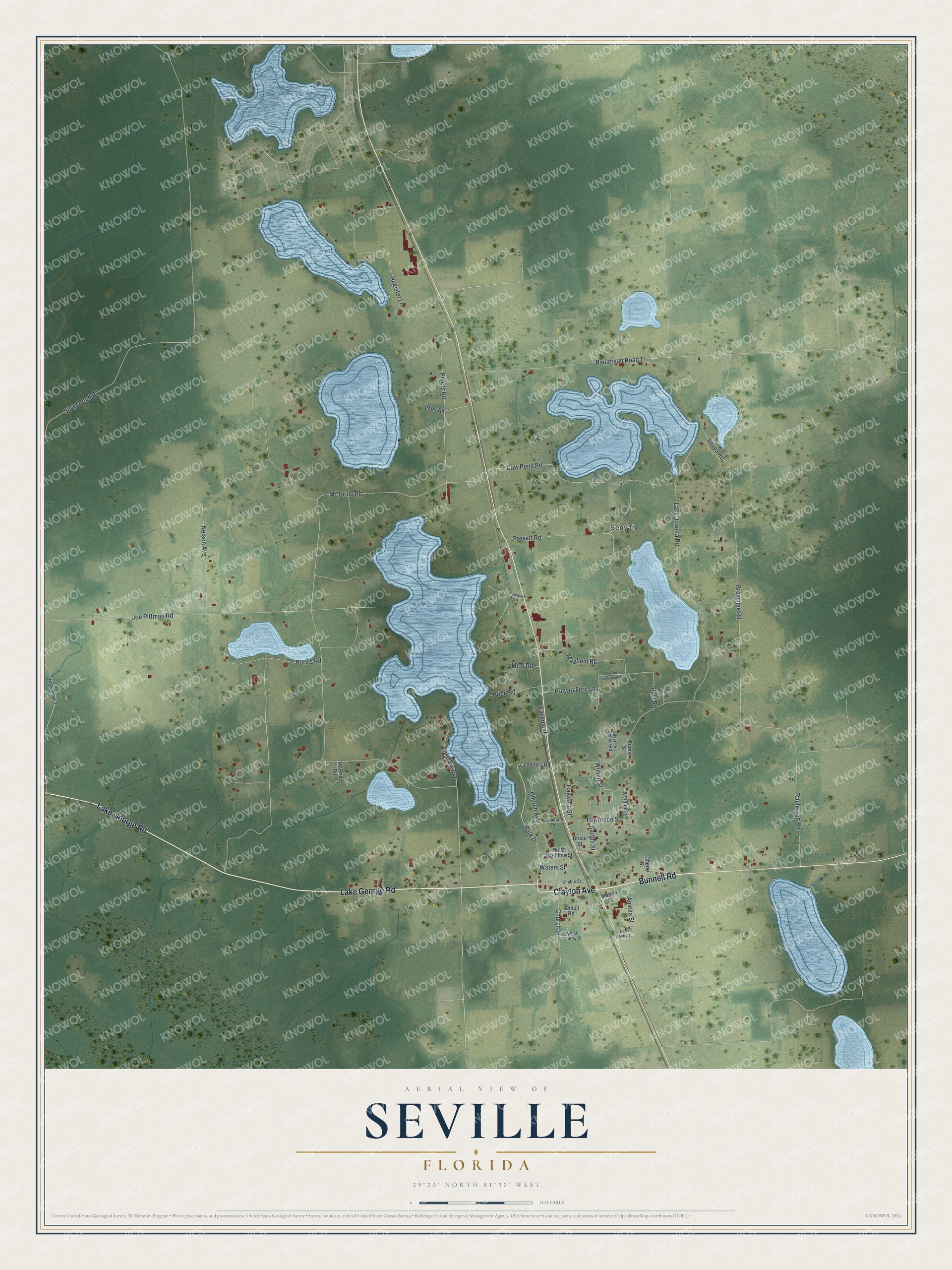
This beautifully detailed map of Seville, Florida was created in 2026 using aerial imagery combined with modern topographical, census, street and landmark data. It's a modern aerial view of Seville in Volusia County, Florida, that combines modern data with a vintage aesthetic. The roads feature printed names, and if you look closely you can find your exact house accurately shown in its correct location.
Explore an aerial view of Seville, Florida
On this map you'll find Senyah, Clayton Avenue, Lake George Road, Bunnell Road, Park Drive, Church Street, Prevatt Road, Mc Bride Road, Raulerson Road, Brownlee Road, Joe Pittman Road, Silver Pond Road, and more. Each red shape is a building, so zoom in on the preview and look for yours.
Every town has a first chapter, and Seville is no exception. The West Volusia Historical Society puts it this way: "In 1888 the community of Seville, in northwest Volusia County, was a relatively large and prosperous town. The 125 buildings included four brick stores, three hotels, a schoolhouse, a town hall, and a jail." That summer yellow fever swept all of Florida. Many people left and tourists stopped coming, but the families who stayed took on any work they could find and held on.
Seville is a community in Volusia County. The Census Bureau counted 580 people here in 2020.
Take a closer look at the Seville map
Names on this map
These names are printed on this map.
Places: Senyah.
Streets and roads: Clayton Avenue, Lake George Road, Bunnell Road, Park Drive, Church Street, Prevatt Road, Mc Bride Road, Raulerson Road, Brownlee Road, Joe Pittman Road, Silver Pond Road, Raulerson Road 1.
More street names, A to Z
Amelia Street, Barton Street, Bruce Street, Cemetary Road, Cemetery Road, Cherry Street, Church Avenue, Columbia Street, Cow Pond Road, Easement, East Cherry Street, Forest Street, Hayward Street, Kimble Street, Lake Juanita Road, Lake View Drive, Lawrence Street, Lemon Road, Marion Street, Mayfield Road, McBride Road, Mew Road, Nelson Avenue, Peter Road, Peters Road, Prevatte Homestead Way, Prevatt Fern Lane, Price Road, Purvis Road, Register Lane, Robinson Lane, Senya Road, Silver Elm School Road, Steel Road, Tolbert Lane, Truck Trail 2, Waters Street, West Cherry Street, West Paulding Street, Wilson Street.
See it on a wall
The Seville map as a framed print. Swipe for more.


Created by KNOWOL in 2026. The buildings are small red shapes, the roads carry their printed names, and shaded relief shows the shape of the land. The title panel reads "AERIAL VIEW OF SEVILLE, FLORIDA" with 29°20' NORTH 81°30' WEST.
Hang it in the hallway, the office or the cabin, or give it to someone who left Seville and still calls it home. Open the preview and look for a street you know. See sizes and frames for the Seville map.