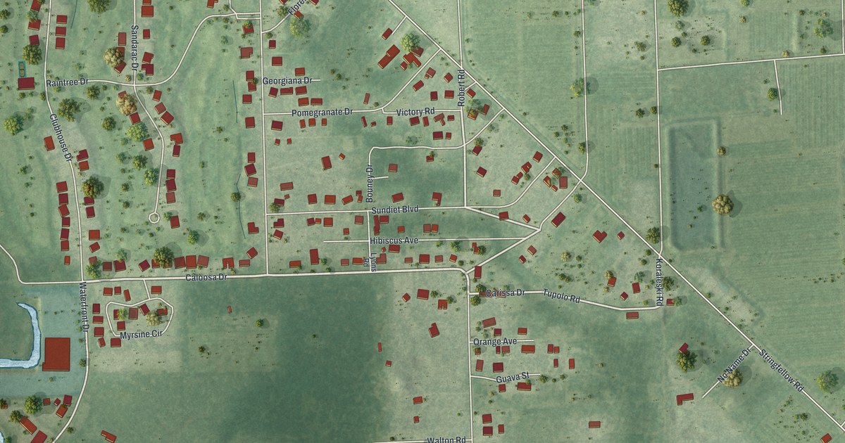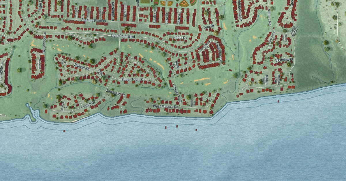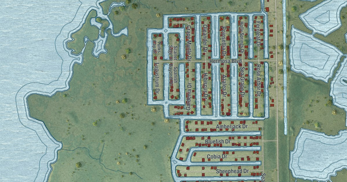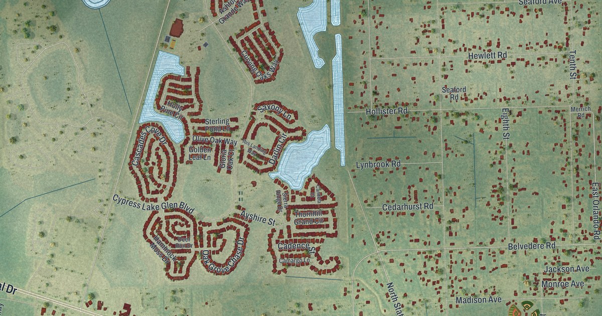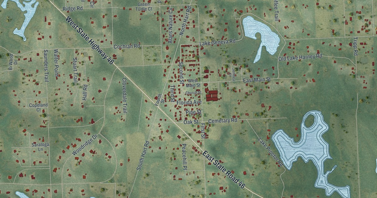
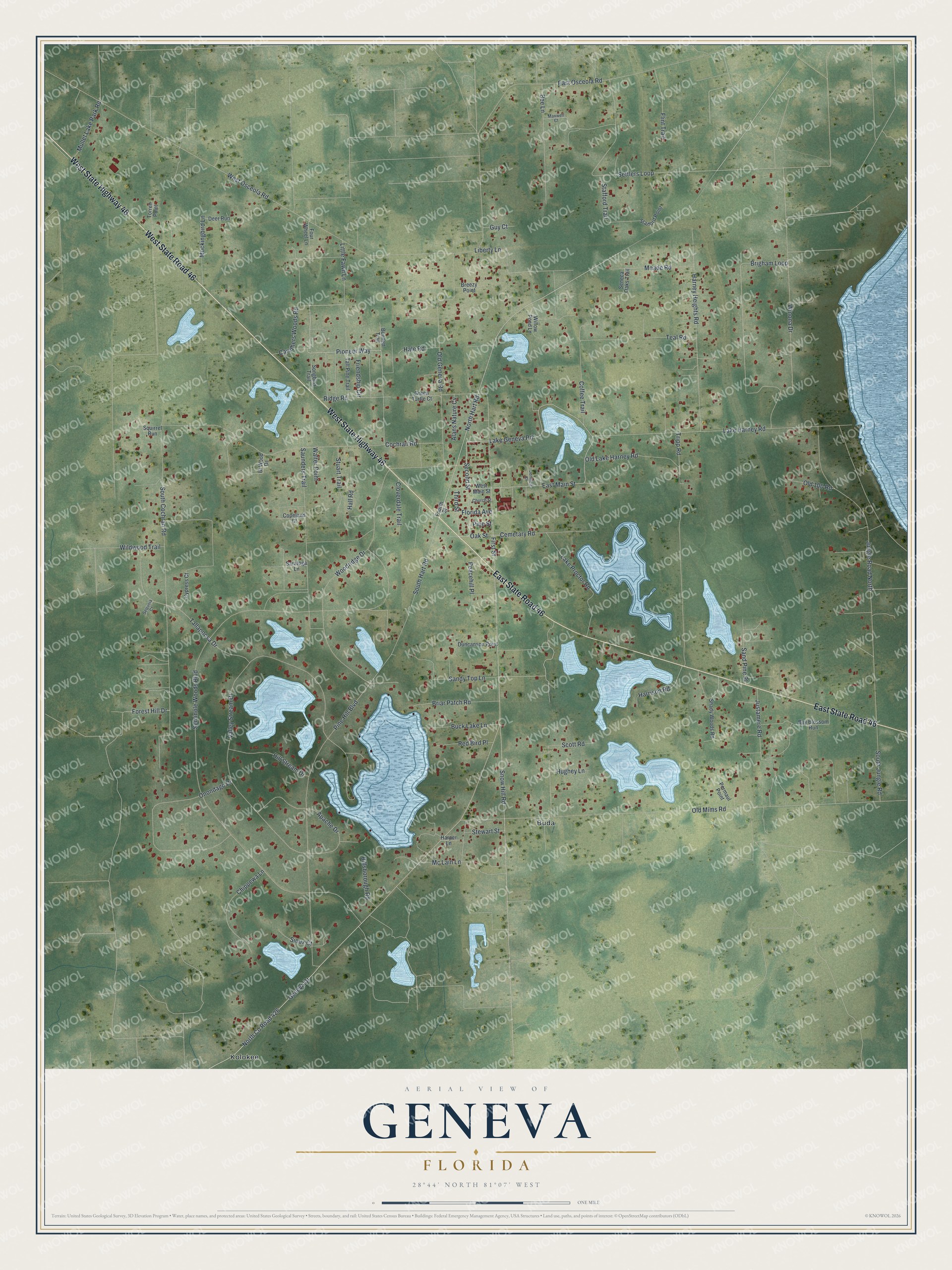
This beautifully detailed map of Geneva, Florida was created in 2026 using aerial imagery combined with modern topographical, census, street and landmark data. It's a modern aerial view of Geneva in Seminole County, Florida, that combines modern data with a vintage aesthetic. The roads feature printed names, and if you look closely you can find your exact house accurately shown in its correct location.
Explore an aerial view of Geneva, Florida
On this map you'll find Buda, Kolokee, West State Highway 46, West State Road 46, East State Road 46, Pioneer Way, Second Street, North Hart Road, North Co Road 426, Lake Geneva Road, East Main Street, Oak Street, and more. Each red shape is a building, so zoom in on the preview and look for yours.
Here is a piece of Geneva history. Geneva began as Harney Cove, where new settlers arrived between 1843 and 1845, and it was renamed Geneva in 1880. Long before that, in 1765 and 1766, John and William Bartram explored the St. Johns River, including the land that would become Geneva. Geneva pioneer A. J. Holder crafted tables from palm fronds, boots and trunks, and the Patent Office granted his design a patent in 1890. That's from the RICHES history project at UCF.
Geneva is a community in Seminole County. The Census Bureau counted 2,913 people here in 2020.
Take a closer look at the Geneva map
Names on this map
These names are printed on this map.
Places: Buda and Kolokee.
Streets and roads: West State Highway 46, West State Road 46, East State Road 46, Pioneer Way, Second Street, North Hart Road, North County Road 426, Lake Geneva Road, East Main Street, Oak Street, Liberty Lane, Geneva Drive.
More street names, A to Z
Alans Nature Cv, Apache Drive, Bay Blossom Run, Bee Lane, Bennett Trail, Billsborough Road, Bi Wood Drive, Breezy Point, Briar Patch Road, Brigham Loop, Buck Lake Lane, Caruthers Woods Road, Cemetary Road, Chippewa Lane, Church Street, Cloverdale Trail, Cochran Road, Coffee Trail, Copeland Court, Cypress Court, Deer Run, Duncanson Point, East Osceola Road, First Street, Flint Trail, Florida Avenue, Forest Hill Drive, Fourth Street, Four Wheel Lane, Friendship Circle, Green Turtle Court, Guy Court, Hale Road, Hall Road, Harney Heights Road, Harper Lane, Harrison Road, Hill Stream Drive, Hughey Lane, Jennica Court, Jungle Road North, Justamere Road, Lake Harney Road, Lake Proctor Road, Little Fawn Lane, Maxwell Court, Mc Lain Lane, Meade Road, Mockingbird Lane, Mullet Lake Park Road, Old 100 Road, Old Geneva Road, Old Lake Harney Road, Old Mims Road, Onondago Drive, Peacehill Place, Permaul Point, Pine Hill Boulevard, Pine Street, Red Bird Place, Ridge Road, Sand Pine Place, Sandy Top Lane, Saratoga Lane, Saunders Trail, Scott Road, Seminole Woods Boulevard, Seneca Oaks Trail, Sequoia Court, Settlers Loop, Shady Woods Road, Sioux Court, Snow Hill Road, Songbird Trail, South Cochran Road, South Hart Road, South Jungle Road, Squirrel Run, Stafford Point, Stafford Trail, Stewart Street, Stuart Trail, Tallapoosa Drive, Tall Pine Trail, Teal Road, Third Street, Torren Point, Tripp Road, Valley Stream Drive, Walter Point, West Main Street, West Osceola Road, Wildwood Trail, Willow Pond Lane, Winona Drive, Woodridge Drive.
See it on a wall
The Geneva map as a framed print. Swipe for more.


Created by KNOWOL in 2026. The buildings are small red shapes, the roads carry their printed names, and shaded relief shows the shape of the land. The title panel reads "AERIAL VIEW OF GENEVA, FLORIDA" with 28°44' NORTH 81°07' WEST.
It suits a den, a classroom or a front hall, and it makes a gift for anyone with Geneva roots. Open the preview and find the block you know. See sizes and frames for the Geneva map.