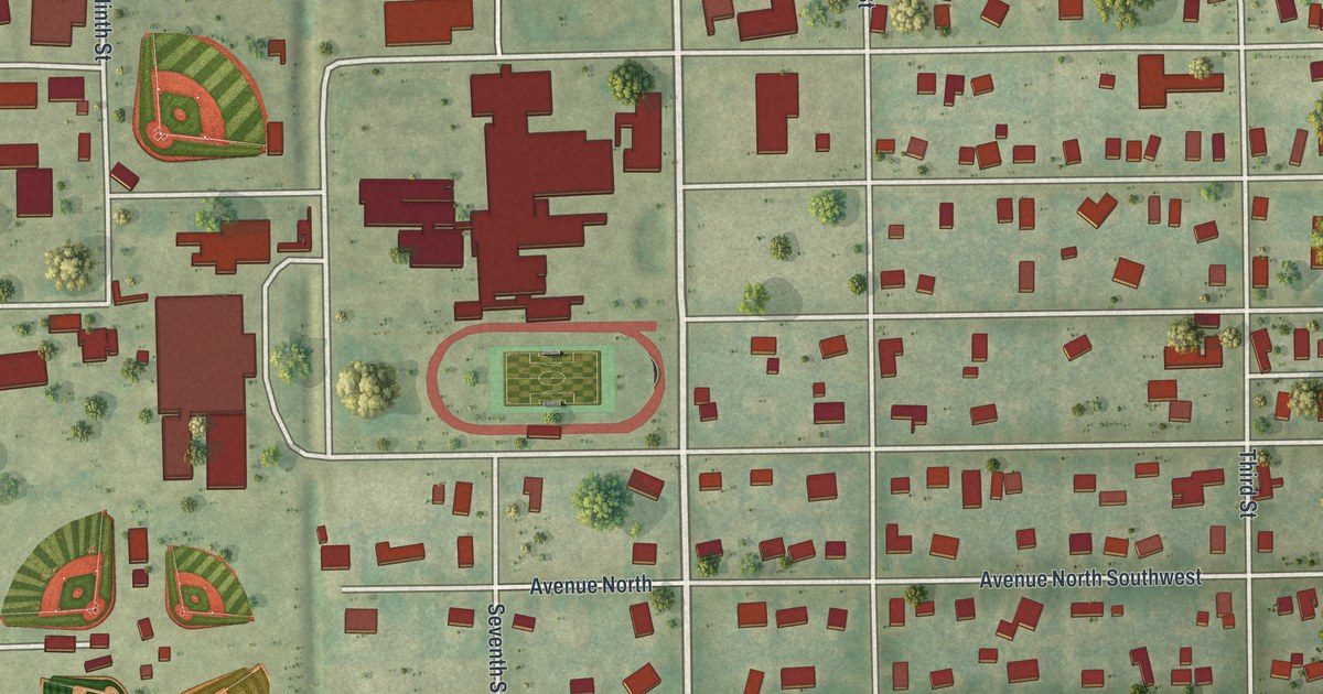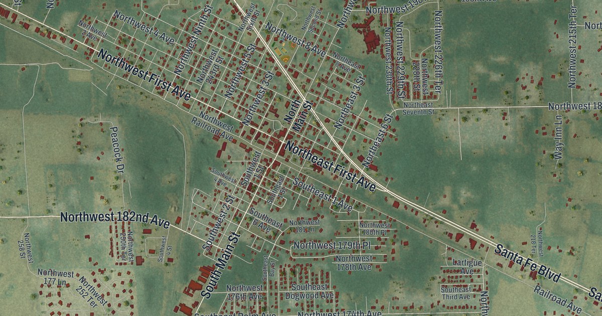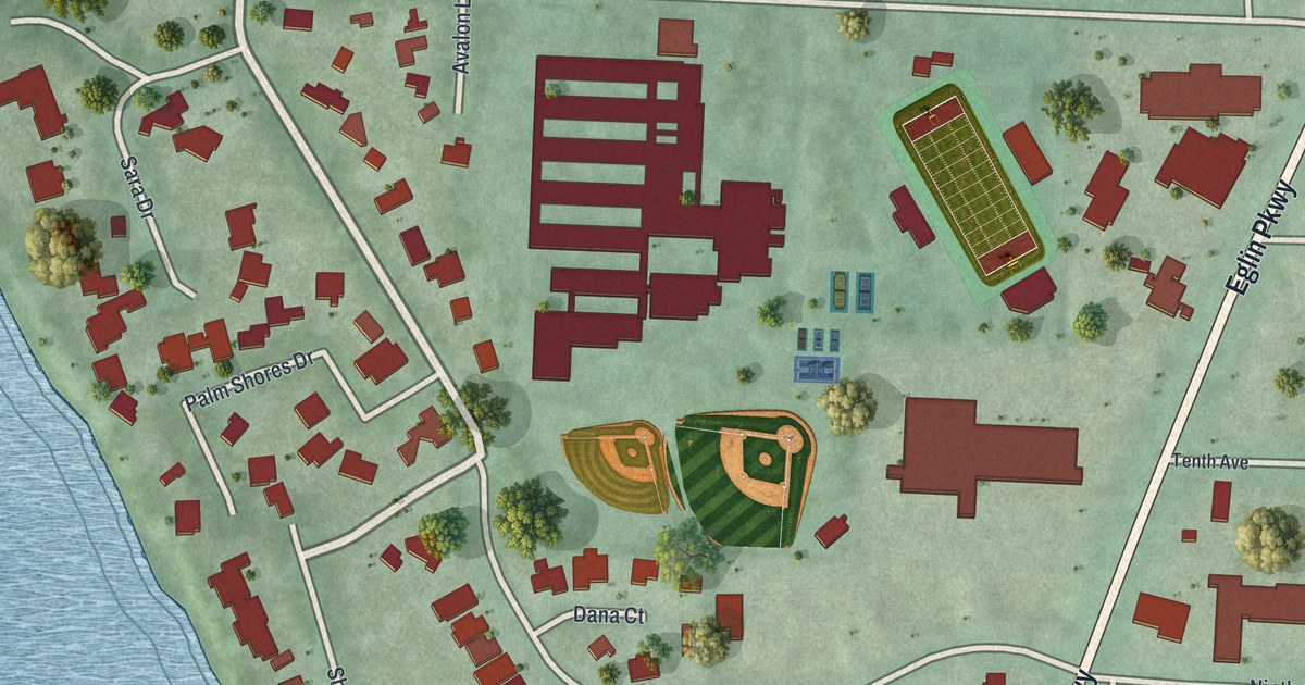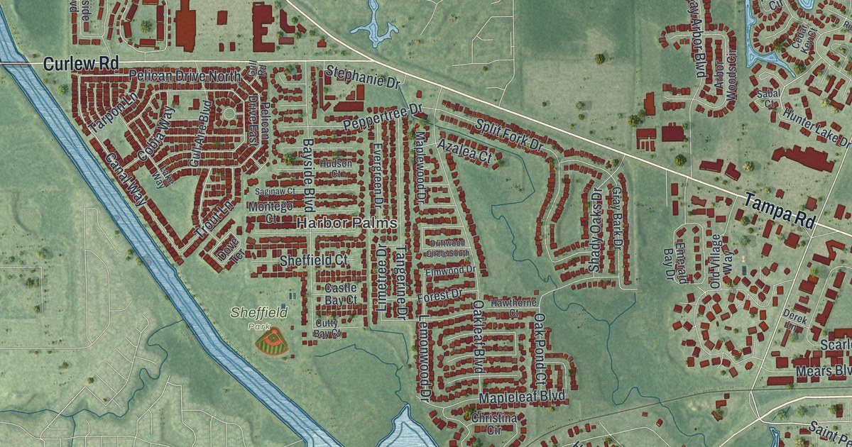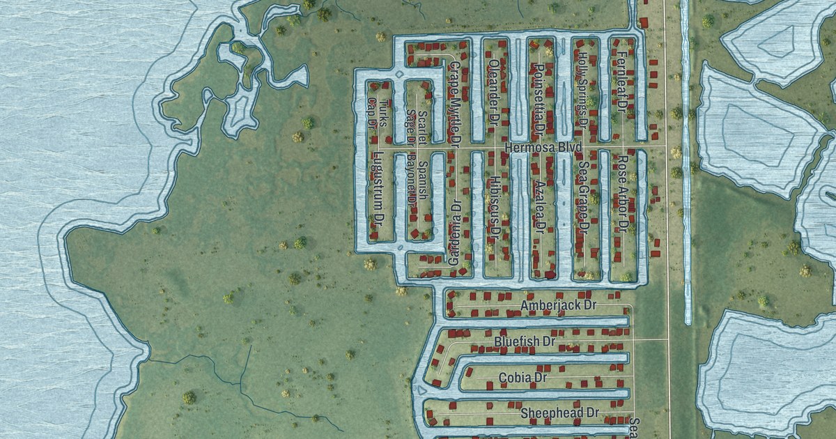
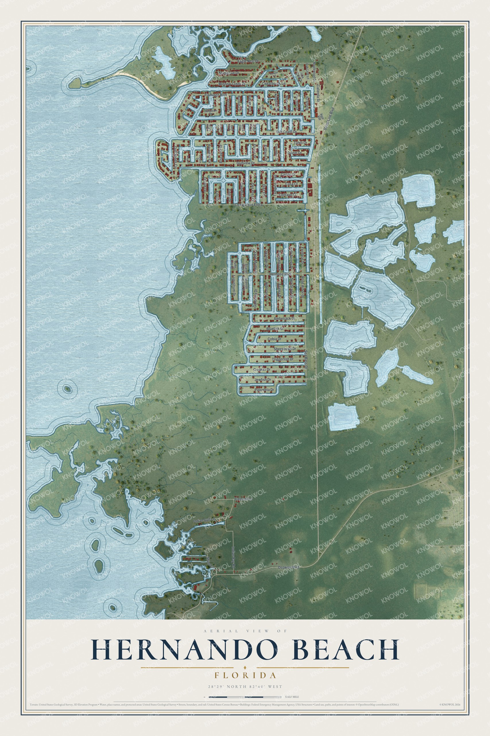
This beautifully detailed map of Hernando Beach, Florida was created in 2026 using aerial imagery combined with modern topographical, census, street and landmark data. It's a modern aerial view of Hernando Beach in Hernando County, Florida, that combines modern data with a vintage aesthetic. The roads feature printed names, and if you look closely you can find your exact house accurately shown in its correct location.
Explore an aerial view of Hernando Beach, Florida
On this map you'll find Shoal Line Boulevard, Flamingo Boulevard, Gulf Coast Drive, Gulfview Drive, Osowaw Boulevard, Companero Entra, Eagle Nest Drive, Gulf Winds Circle, Indian Bay Road, Hermosa Boulevard, Jewfish Drive, Bluefish Drive, and more. Each red shape is a building, so zoom in on the preview and look for yours.
Hernando Beach is a community in Hernando County. The Census Bureau counted 2,452 people here in 2020. Hernando Beach sits about 3 miles north of Aripeka, 4 miles northwest of Heritage Pines and 4 miles west of Timber Pines. The map prints the town name in its title panel, with the coordinates below it.
Take a closer look at the Hernando Beach map
Names on this map
These names are printed on this map.
Streets and roads: Shoal Line Boulevard, Flamingo Boulevard, Gulf Coast Drive, Gulfview Drive, Osowaw Boulevard, Companero Entra, Eagle Nest Drive, Gulf Winds Circle, Indian Bay Road, Hermosa Boulevard, Jewfish Drive, Bluefish Drive.
More street names, A to Z
Agar Avenue, Amberjack Drive, Azalea Drive, Bahama Drive, Bellaire Drive, Bimini Drive, Biscayne Drive, Burmuda Drive, Calienta Street, Camelia Drive, Carlos Court, Casa Court, Cedarbrook Lane, Centavo Court, Cobia Drive, Columbus Drive, Crape Myrtle Drive, Croaker Drive, Daisy Drive, Deleon Drive, Des Prez Court, Diaz Court, Eighth Isle Drive, Fernleaf Drive, Fifth Isle Drive, Flexer Drive, Flounder Drive, Fourth Isle Drive, Fremont Lane, Gardenia Drive, Gulfstream Drive, Hibiscus Drive, Holly Springs Drive, Indian Gulf Lane, Jacona Drive, Kingston Drive, Lily Drive, Lugustrum Drive, Mangrove Drive, Maplewood Drive, Minnow Creek Drive, Neptune Drive, Newport Drive, Oak Leaf Lane, Oleander Drive, Orchid Drive, Orient Drive, Palometa Drive, Paradise Circle, Paragon Terrace, Pine Dale Court, Poinsettia Drive, Rose Arbor Drive, San Juan Drive, Scarlet Sage Drive, Sea Bass Drive, Sea Grape Drive, Seventh Isle Drive, Sheephead Drive, Shine Lane, Sixth Isle Drive, Spanish Bayonet Drive, Tahiti Drive, Tampico Trail, Triggerfish Drive, Turks Cap Drive.
See it on a wall
The Hernando Beach map as a framed print. Swipe for more.


Created by KNOWOL in 2026. The buildings are small red shapes, the roads carry their printed names, and shaded relief shows the shape of the land. The title panel reads "AERIAL VIEW OF HERNANDO BEACH, FLORIDA" with 28°29' NORTH 82°40' WEST.
It looks right in a kitchen, an office or a den, and it's a gift for anyone who grew up in Hernando Beach or moved away. Open the preview and find your street. See sizes and frames for the Hernando Beach map.