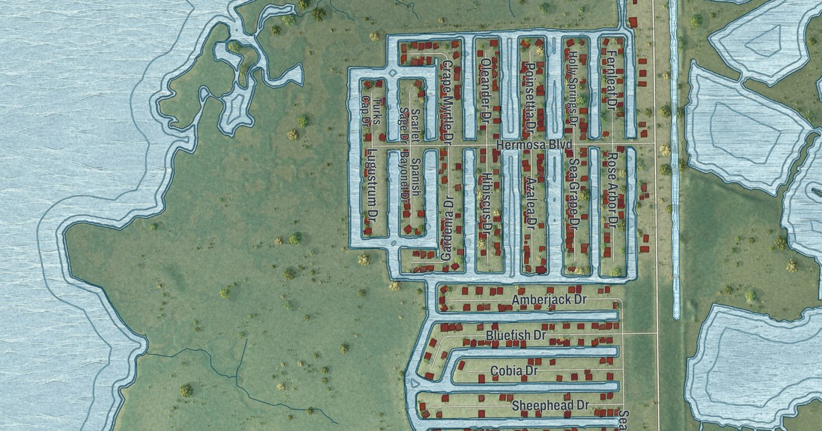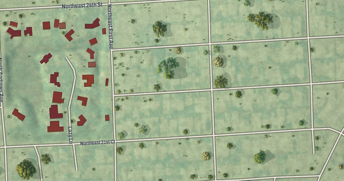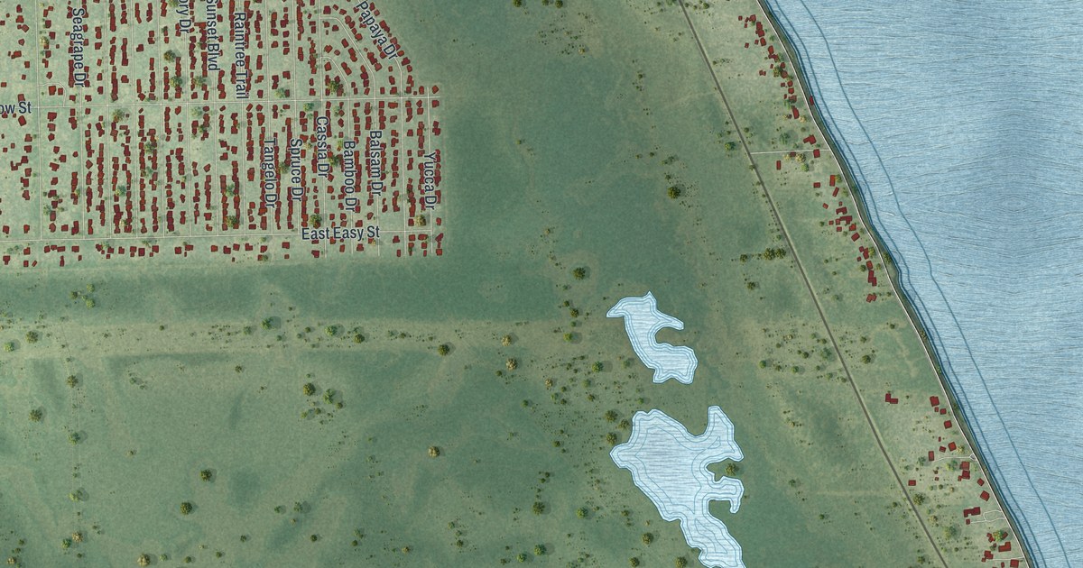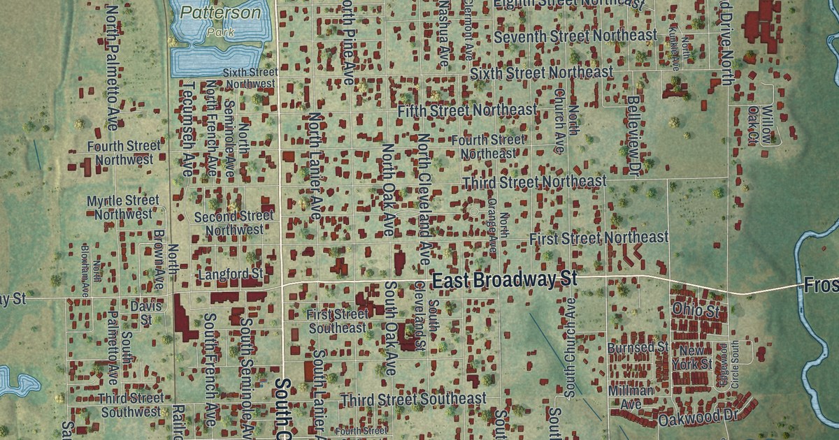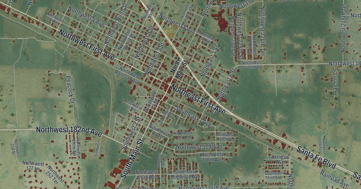
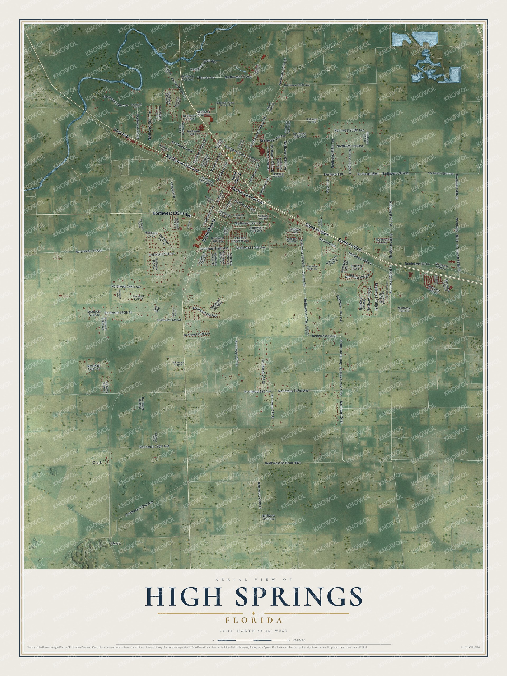
This beautifully detailed map of High Springs, Florida was created in 2026 using aerial imagery combined with modern topographical, census, street and landmark data. It’s a one-of-a-kind view of High Springs that combines accurate data with a vintage aesthetic. The map shows every building in its true location, many of the roads carry their names, and the shaded topographic relief shows the shape of the land.
Explore an aerial view of High Springs, Florida
On the map you’ll find Buda, Clark, and Northwest 18, along with Santa Fe Boulevard, Sante Fe Boulevard, Northeast First Avenue, Northwest First Avenue, South Main Street, Northwest 182nd Avenue, First Avenue, Northeast Boulevard, Northwest 214 Terrace, and more. If you look closely you can even find your house accurately drawn in its correct location. Zoom in on the preview to look for yours.
Did You Know?
A railroad station and post office opened here in 1884 under the name Santaffey. Within months the post office became Santa Fe. A year later it was renamed Orion. In 1888 it finally took the name High Springs, and the town incorporated in 1892.
Take a closer look at the High Springs map
Names on this map
These names are printed on this map.
Places: Buda and Clark.
Streets and roads: Santa Fe Boulevard, Sante Fe Boulevard, Northeast First Avenue, Northwest First Avenue, South Main Street, Northwest 182nd Avenue, First Avenue, Northeast Boulevard, Northwest 214 Terrace, Northwest 18, Northwest 214th Terrace, Northwest 222nd Street.
More street names, A to Z
23rd Boulevard, Boatramp Road, Cheeota Avenue, County Road, Lartigue Avenue, Northeast 3 Street, Northeast 6 Street, Northeast 8 Avenue, Northeast 44th Street, Northeast Dugger Street, Northeast Seventh Street, Northeast Tenth Boulevard, North Main Street, Northwest 2 Avenue, Northwest 3 Street, Northwest 4 Avenue, Northwest 5 Street, Northwest 8 Avenue, Northwest 13th Street, North West 17th Street, Northwest 19th Avenue, Northwest 21st Street, Northwest 46th Street, Northwest 114th Avenue, Northwest 122nd Avenue, Northwest 130th Avenue, Northwest 142 Avenue, Northwest 142nd Avenue, Northwest 148th Avenue, Northwest 148th Place, Northwest 154 Place, Northwest 155th Avenue, Northwest 159th Place, Northwest 160 Avenue, Northwest 160th Place, Northwest 164th Road, Northwest 165 Avenue, Northwest 166th Avenue, Northwest 166th Place, Northwest 167th Place, Northwest 168 Lane, Northwest 169th Avenue, Northwest 170 Lane, Northwest 170th Lane, Northwest 173rd Avenue, Northwest 174 Avenue, Northwest 174th Avenue, Northwest 175 Avenue, Northwest 176th Avenue, Northwest 177 Lane, Northwest 178th Avenue, Northwest 179th Place, Northwest 180th Place, Northwest 181 Lane, Northwest 188 Street, Northwest 188th Street, Northwest 190 Avenue, Northwest 190th Avenue, Northwest 190th Street, Northwest 192nd Terrace, Northwest 196 Avenue, Northwest 198 Avenue, Northwest 198th Avenue, Northwest 199th Lane, Northwest 200th Avenue, Northwest 202 Avenue, Northwest 202 Street, Northwest 202nd Drive, Northwest 202nd Street, Northwest 203 Avenue, Northwest 204th Avenue, Northwest 204th Street, Northwest 205th Street, Northwest 206 Drive, Northwest 206 Place, Northwest 206th Avenue, Northwest 207 Street, Northwest 208 Way, Northwest 210th Avenue, Northwest 210th Lane, Northwest 212 Avenue, Northwest 212th Avenue, Northwest 212th Terrace, Northwest 213th Drive, Northwest 215th Terrace, Northwest 218 Terrace, Northwest 226th Terrace, Northwest 227th Drive, Northwest 228th Street, Northwest 229th Street, Northwest 230 Street, Northwest 230th Street, Northwest 232 Street, Northwest 234th Street, Northwest 237 Terrace, Northwest 240th Terrace, Northwest 242nd Street, Northwest 243 Way, Northwest 243rd Street, Northwest 250th Street, Northwest 250th Terrace, Northwest 252 Terrace, Northwest 252nd Street, Northwest 255 Terrace, Northwest 257th Drive, Northwest 257th Terrace, Northwest 258 Street, Northwest 260 Street, Northwest 260th Street, Northwest 264 Drive, Northwest 268th Street, Northwest 268th Terrace, Northwest County Road 236, Northwest County Road 2054, Northwest Ninth Street, Northwest Ponce de Leon Drive, Northwest Railroad Avenue, Northwest Second Street, Northwest Sixth Street, Northwest Twelfth Avenue, Peacock Drive, Railroad Avenue, Southeast 1 Avenue, Southeast 1 Street, Southeast 6 Avenue, Southeast 17th Terrace, Southeast 24 Street, Southeast 24th Street, Southeast Bay Street, Southeast Cedar Street, Southeast Cherry Street, Southeast Dogwood Avenue, Southeast Palm Avenue, Southeast Third Avenue, Southwest 1 Street, Southwest 2 Street, Southwest 4 Avenue, Southwest 4 Street, Southwest 23rd Avenue, Southwest 25th Avenue, Southwest First Street, Way Inn Lane.
See it on a wall
The High Springs map as a framed print. Swipe for more.


This beautifully detailed map of High Springs makes an attractive addition to your office, library, or den, and it can even be used to teach children the geography and history of the area. It also makes a great gift for anyone who grew up in High Springs or moved away. When you’re done exploring, click here to get your copy of the High Springs map.