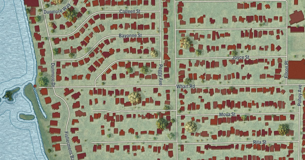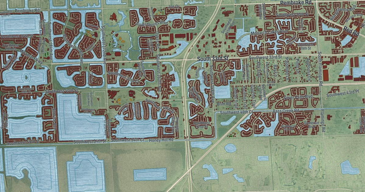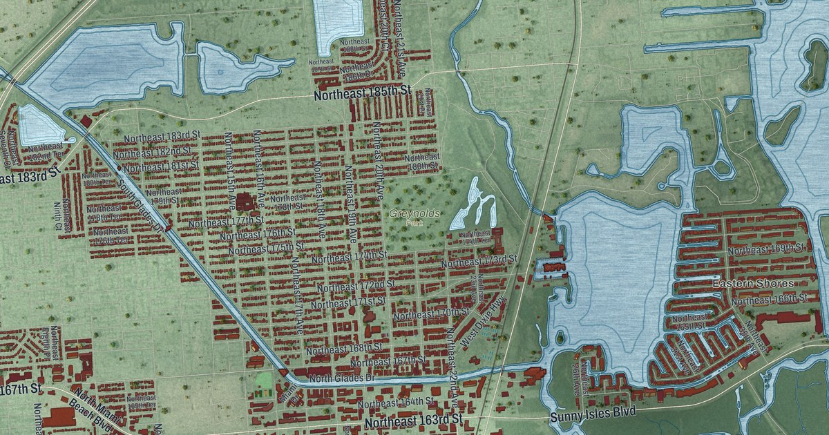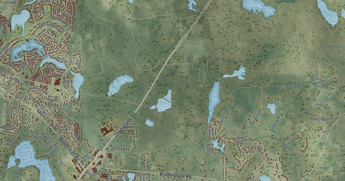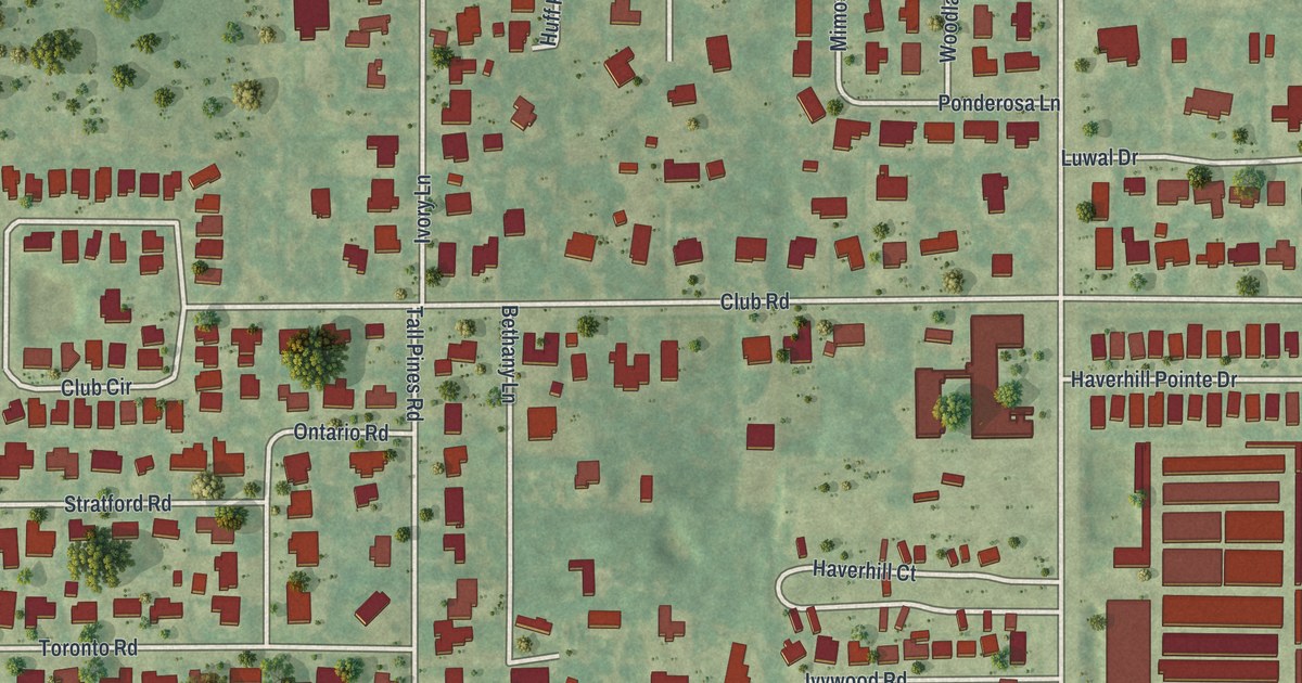
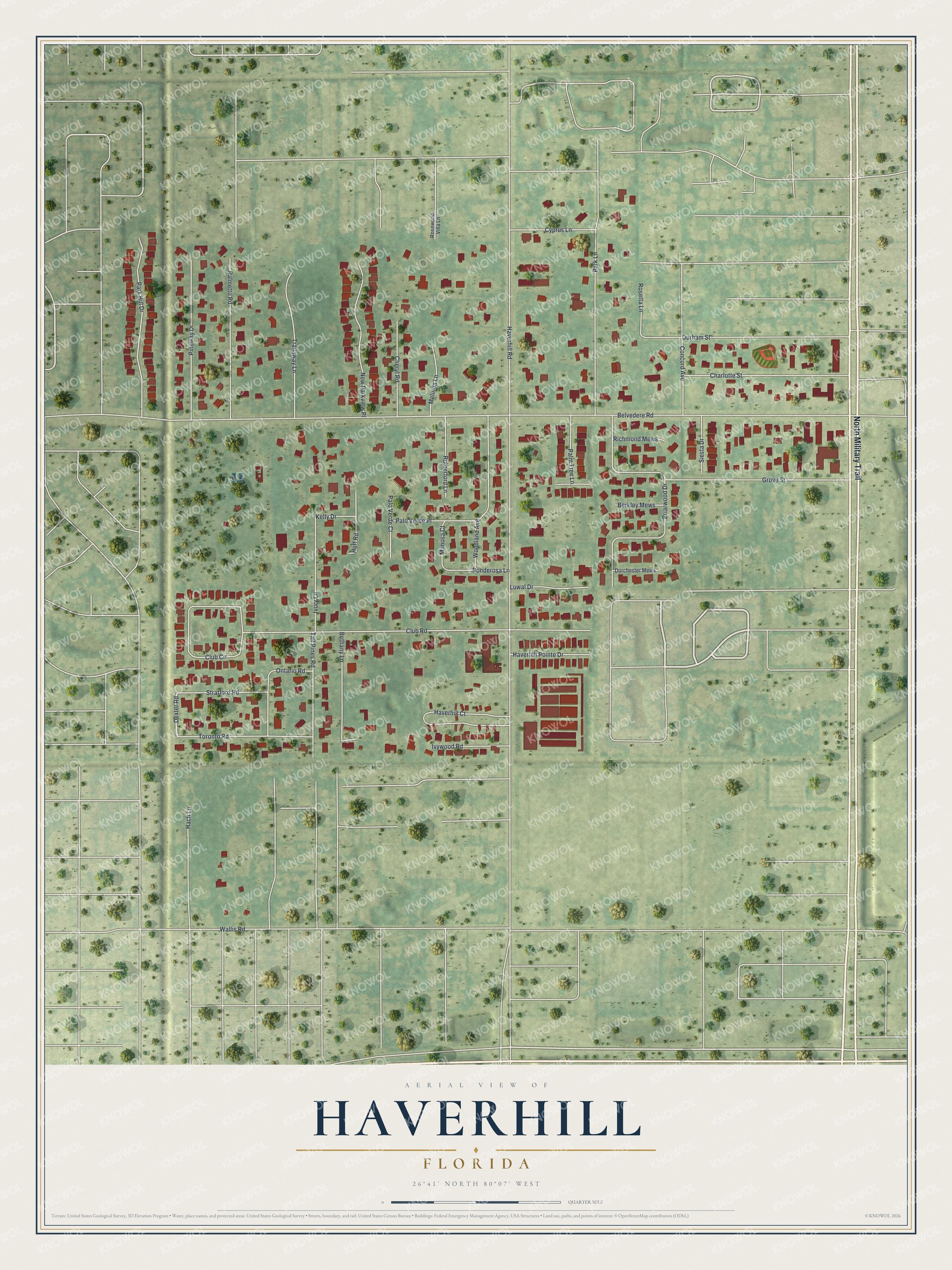
This beautifully detailed map of Haverhill, Florida was created in 2026 using aerial imagery combined with modern topographical, census, street and landmark data. It’s a one-of-a-kind view of Haverhill that combines accurate data with a vintage aesthetic. The map shows every building in its true location, many of the roads carry their names, and the shaded topographic relief shows the shape of the land.
Explore an aerial view of Haverhill, Florida
On the map you’ll find North Military Trail, Dexter Road, Belvedere Road, Haverhill Road, Club Road, Briarwood Drive, Park Lane, Durham Street, Club Circle, Grove Street, Park Hill Drive, Haverhill Court, and more. If you look closely you can even find your house accurately drawn in its correct location. Zoom in on the preview to look for yours.
Did You Know?
Families began building homes here in the 1940s, among pine flatwoods and Everglades wetlands. Many of the first settlers came from Haverhill, Massachusetts, so they named the town for it. On May 11, 1950, voters chose to incorporate by 42 to 17. Ray Cox became the first mayor.
Take a closer look at the Haverhill map
Names on this map
These names are printed on this map.
Streets and roads: North Military Trail, Dexter Road, Belvedere Road, Haverhill Road, Club Road, Briarwood Drive, Park Lane, Durham Street, Club Circle, Grove Street, Park Hill Drive, Haverhill Court.
More street names, A to Z
Berkley Mews, Bethany Lane, Charlotte Street, Cheryl Road, Concord Avenue, Cyprus Lane, Dorchester Mews, Hach Lane, Haverhill Pointe Drive, Huff Road, Ivory Lane, Ivywood Road, Kelly Drive, Luwal Drive, Melinda Lane, Mimosa Court, New Parkview Place, Ontario Road, Palmetto Road, Palm Tree Lane, Palo Verde Court, Palo Verde Place, Pineway Drive, Ponderosa Lane, Richmond Mews, Rosetta Lane, Rosewood Villa Lane, Rutherford Lane, Siesta Drive, Stratford Road, Tall Pines Road, Toronto Road, Trailaway Lane, Wallis Road, Woodland Avenue.
See it on a wall
The Haverhill map as a framed print. Swipe for more.


This beautifully detailed map of Haverhill makes an attractive addition to your office, library, or den, and it can even be used to teach children the geography and history of the area. It also makes a great gift for anyone who grew up in Haverhill or moved away. When you’re done exploring, click here to get your copy of the Haverhill map.