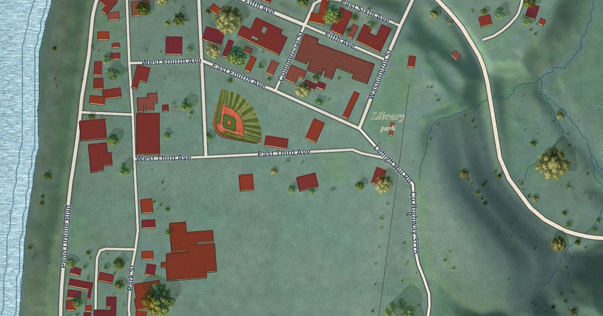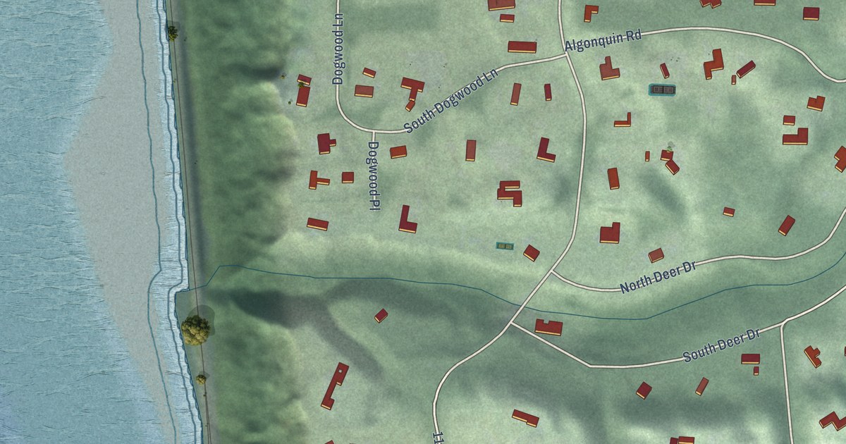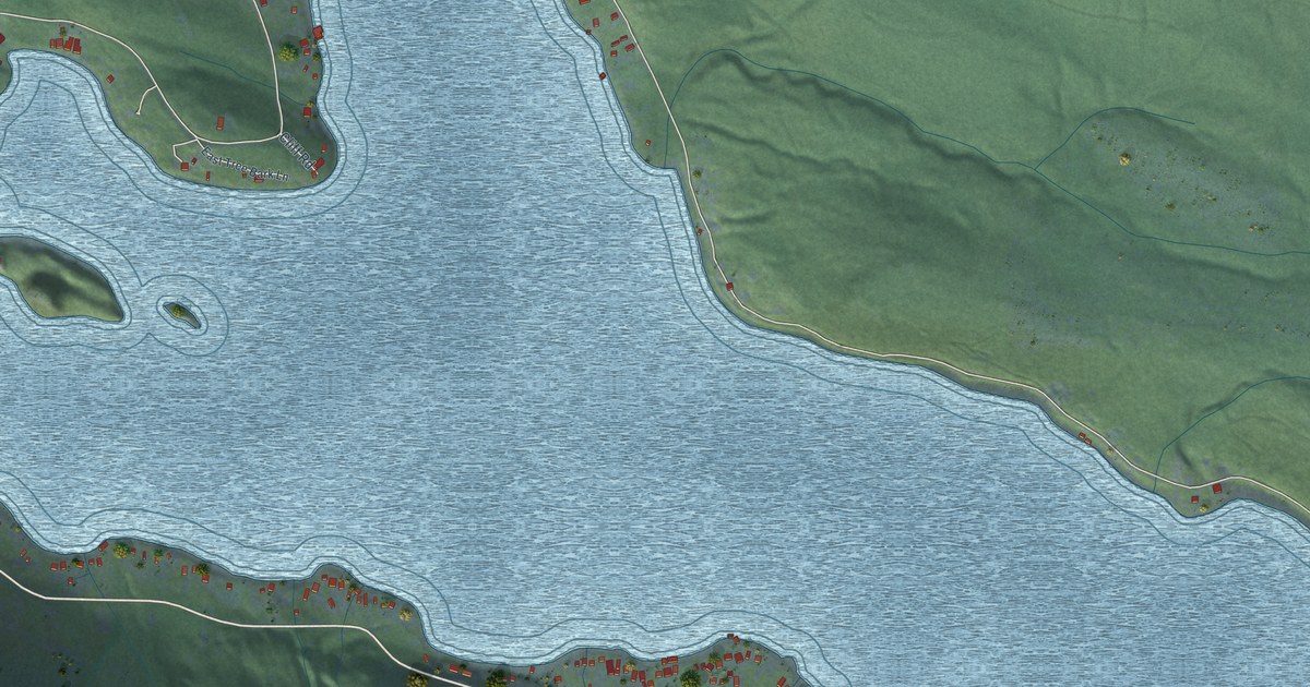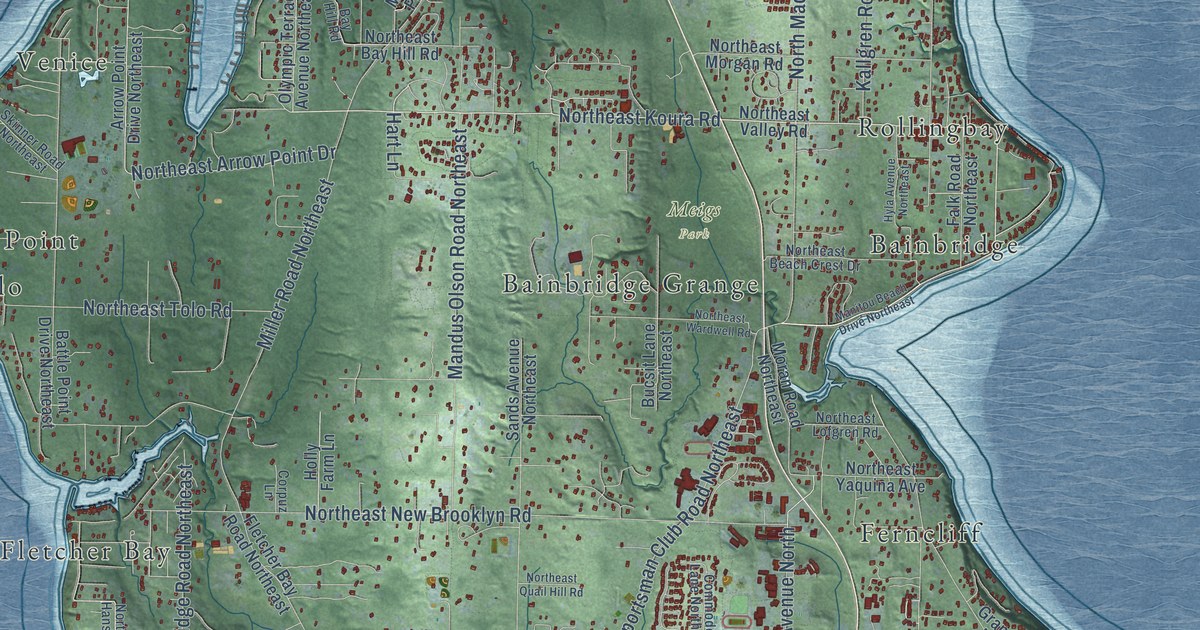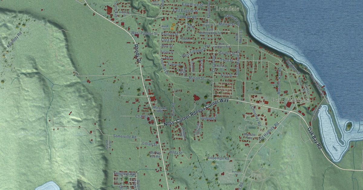
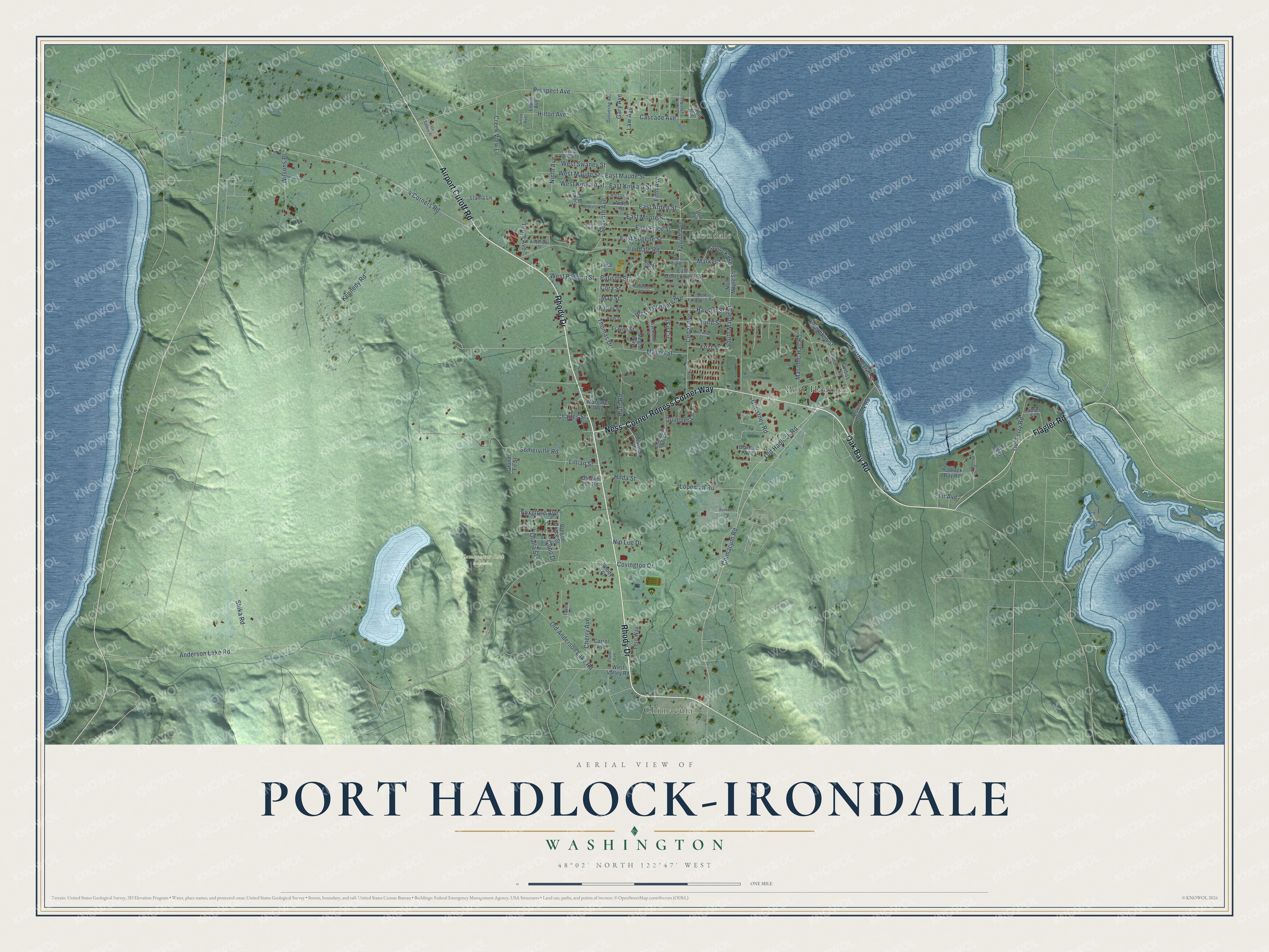
This beautifully detailed map of Port Hadlock-Irondale, Washington was created in 2026 using aerial imagery combined with modern topographical, census, street and landmark data. It's a modern aerial view of Port Hadlock-Irondale in Jefferson County, Washington, that combines modern data with a vintage aesthetic. The roads feature printed names, and if you look closely you can find your exact house accurately shown in its correct location.
Explore an aerial view of Port Hadlock-Irondale, Washington
On this map you'll find Irondale, Tamanowas Rock Sanctuary, Port Hadlock, Chimacum, Rhody Drive, Oak Bay Road, Ness' Corner Rdness Corner Way, Flagler Road, Airport Cutoff Road, Chimacum Road, Old Hadlock Road, Kennedy Road, and more. Each red shape is a building, so zoom in on the preview and look for yours.
Every town has a first chapter, and Port Hadlock-Irondale is no exception. The iron works at Irondale had the second furnace on the Pacific Coast to make pig iron, first fired in January 1881. When steel making was added in 1910, it became the first complete plant west of Denver to produce both iron and steel. Irondale charcoal iron went into parts of the cruisers Charleston and San Francisco and the battleship Oregon. Three steel ingots cast on the first night went into the rotunda of the Arcade Building in Seattle. That's from the National Register of Historic Places.
Port Hadlock-Irondale is a community in Jefferson County. The Census Bureau counted 3,983 people here in 2020.
Take a closer look at the Port Hadlock-Irondale map
Names on this map
These names are printed on this map.
Places: Irondale, Tamanowas Rock Sanctuary, Port Hadlock and Chimacum.
Streets and roads: Rhody Drive, Oak Bay Road, Ness' Corner Rdness Corner Way, Flagler Road, Airport Cutoff Road, Chimacum Road, Old Hadlock Road, Kennedy Road, 4 Corners Road, Foxglove Avenue, East Arden Street, South Maple Street.
More street names, A to Z
Alma Street, Anderson Lake Road, Anderson Street, Arden Street, Blanche Avenue, Brighton Street, Carrol Avenue, Cascade Avenue, Cedar Avenue, Cedar Lane, Charles Street, Cherry Avenue, Chimacum Creek Drive, Christney Road, Coho Drive, Cora Street, Covington Drive, Creek View Lane, Curtiss Street, Duquesne Avenue, East Eugene Street, East Fitchberg Avenue, East Kinkaid Street, East Maude Street, East Montgomery Street, East Moore Street, East Price Street, Eighth Avenue, Elston Avenue, Evergreen Lane, Fern Way, Fifth Avenue, Fir Avenue, Fir Circle, First Street, Foster Street, Fourth Avenue, Frayne Street, Gary Avenue, Grand Fir Street, Grandview Drive, Hadlock Avenue, Hadlock Bay Road, Hayden Street, Hilda Street, Hilton Avenue, Horton Street, Hunt Road, Irondale Road, Kala Square Place, Kem Street, Laurel Street, Law Avenue, Lewis Avenue, Lillian Street, Llama Lane, Lopeman Road, Lower Hadlock Road, Margaret Way, Market Street, Masonic Hall Road, Mason Street, May Street, Meg's Way, Ninth Avenue, Nip Lee Drive, Noble Lane, North Maple Street, North Water Street, Olalla Street, Old Anderson Lake Road, Old Ferry Road, Old Nip Lee Road, Oregon Grape Street, Patison Street, Plum Avenue, Pomwell Road, Prospect Avenue, Quimper Lane, Randolph Street, Rhody Court, Second Street, Seventh Avenue, Shika Road, Shotwell Place, Sioux Avenue, Somerville Road, South Lyter Avenue, Stevens Street, Sycamore Street, Tenth Avenue, Third Avenue, Third Street, Thomas Drive, Tyner Lane, Water Street, West Arden Street, West Fitchberg Avenue, West Kinkaid Street, West Market Street, West Maude Street, West Melissa, West Patison Street, West Price Street, West Swaney Street, West Valley Road, Wilsons Place.
See it on a wall
The Port Hadlock-Irondale map as a framed print. Swipe for more.


Created by KNOWOL in 2026. The buildings are small red shapes, the roads carry their printed names, and shaded relief shows the shape of the land. The title panel reads "AERIAL VIEW OF PORT HADLOCK-IRONDALE, WASHINGTON" with 48°02' NORTH 122°47' WEST.
Hang it in the hallway, the office or the cabin, or give it to someone who left Port Hadlock-Irondale and still calls it home. Open the preview and look for a street you know. See sizes and frames for the Port Hadlock-Irondale map.