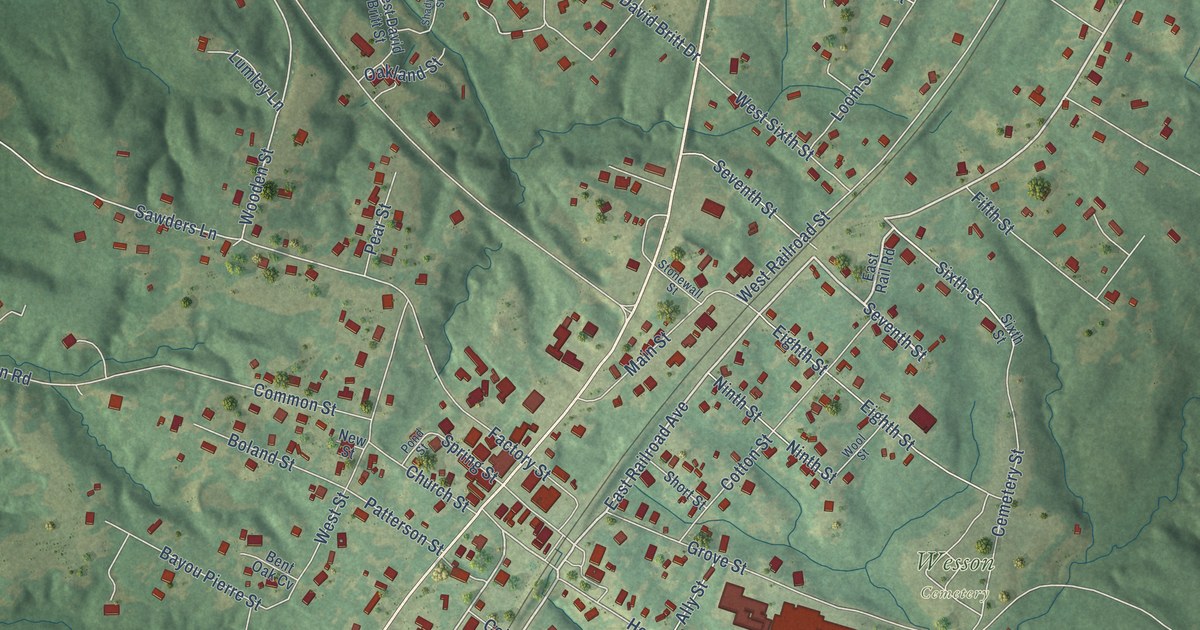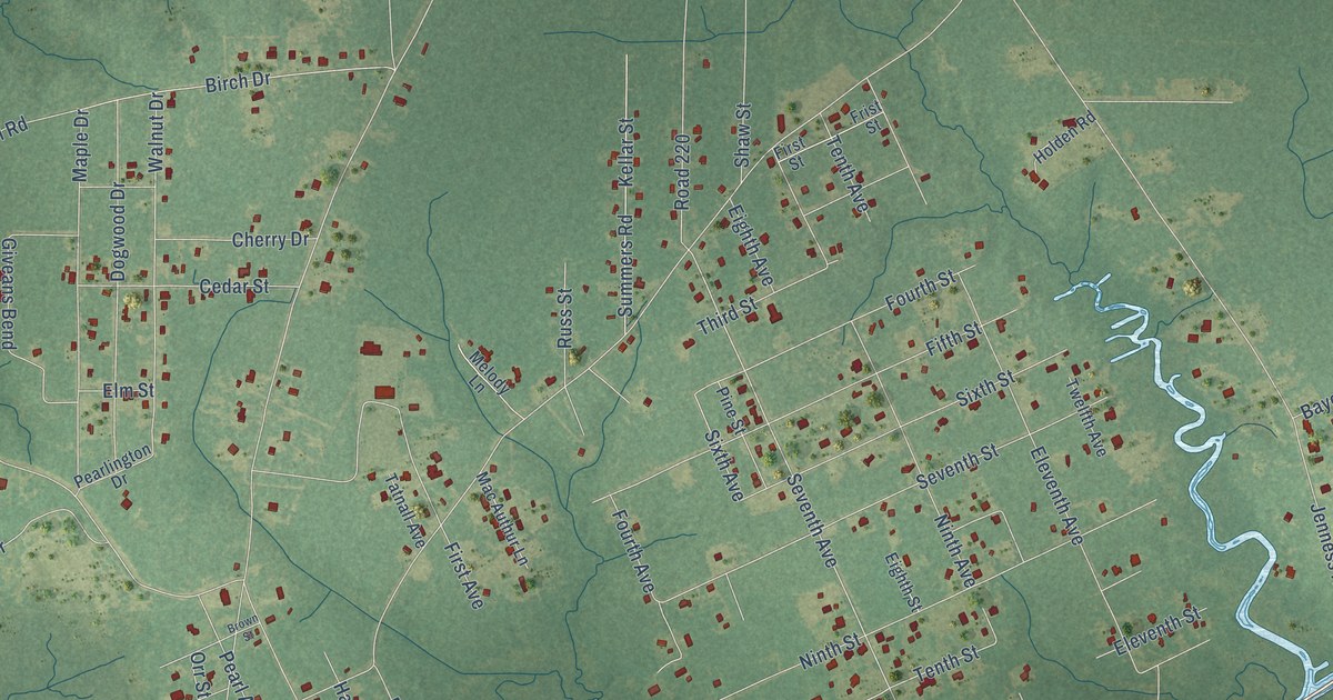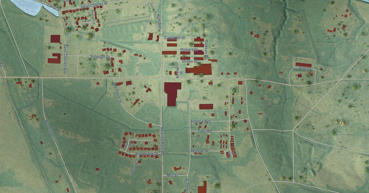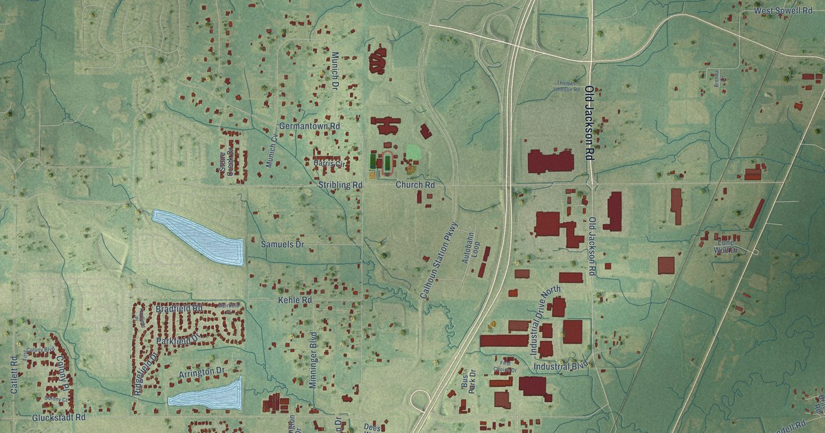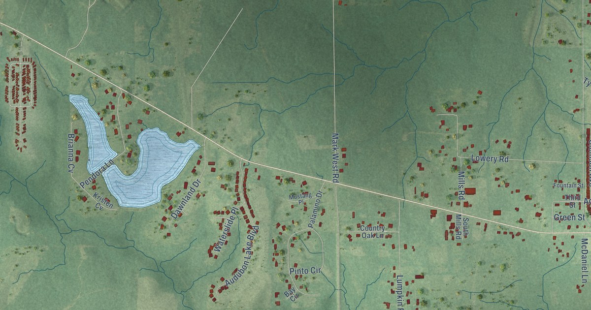
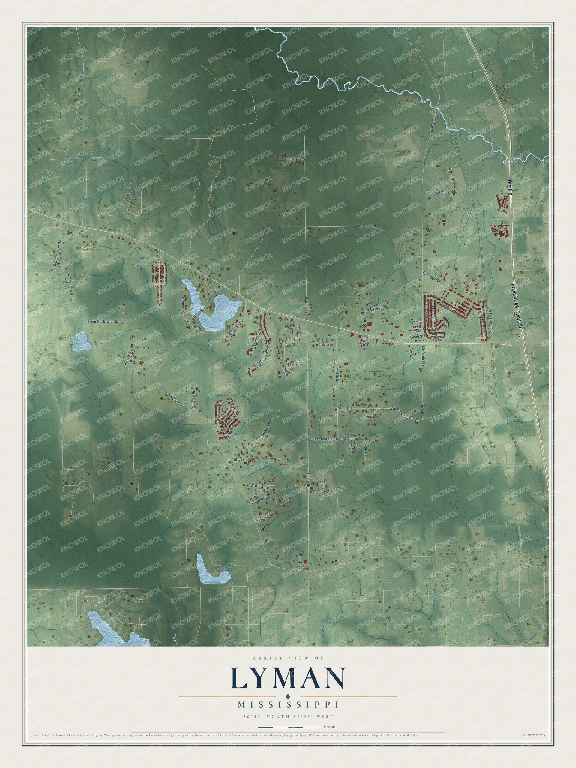
This beautifully detailed map of Lyman, Mississippi was created in 2026 using aerial imagery combined with modern topographical, census, street and landmark data. It's a modern aerial view of Lyman in Harrison County, Mississippi, that combines modern data with a vintage aesthetic. The roads feature printed names, and if you look closely you can find your exact house accurately shown in its correct location.
Explore an aerial view of Lyman, Mississippi
On this map you'll find Finley Cemetery, Tenth Street, Highway 49, Fish Hatchery Road, Woodrow Wilson Drive, John Clark Road, Old Highway 49, Canal Road, Mark West Road, Lumpkin Road, Lowery Road, Jeremy Road, and more. Each red shape is a building, so zoom in on the preview and look for yours.
Here is a piece of Lyman history. In 1909 Lyman, nine miles north of Gulfport on the Gulf and Ship Island Railroad, was a sawmill town of 950 people, and 600 of them worked for the Ingram-Day Lumber Company. Its new triple band mill could cut 400,000 feet of longleaf yellow pine a day. The plant had a planing mill, dry kilns, a commissary and its own logging railroad, with a roundhouse and repair shops at Lyman. That's from the Mississippi Rails railroad history site.
Lyman is a community in Harrison County. The Census Bureau counted 2,372 people here in 2020.
Take a closer look at the Lyman map
Names on this map
These names are printed on this map.
Places: Finley Cemetery.
Streets and roads: Tenth Street, Highway 49, Fish Hatchery Road, Woodrow Wilson Drive, John Clark Road, Old Highway 49, Canal Road, Mark West Road, Lumpkin Road, Lowery Road, Jeremy Road, Autry Drive.
More street names, A to Z
Acron Street, Angie Road, Audubon Lake Boulevard, Bay Circle, Baylor Avenue, Belhaven Street, Boss Conner Drive, Brianna Cv, Cardinal Lane, Clemson Avenue, Country Oak Lane, County Farm Road, Cumberland Lane, Dara Hills Road, Dawnland Drive, Desmare Street, Dexter Circle, East Marcie Road, East Railroad Street, Ellis Drive, Ervin Road, Erwin Road, Farlow Road, Fountain Street, Green Street, Inman Knoll Drive, Keebler Road, Kristen Cv, McDaniel Lane, Mills Road, Mustang Place, Oberlin Avenue, Palamino Drive, Pendora Lane, Pinto Circle, Price Road, Ranier Avenue, Road 416, Snowden Road, South Mills Road, Stevens Drive, Tarabrooke Drive, Third Street, Tiffany Renee Drive, Tori Dawn Drive, Ty Ridge Road, Wallace Road, Wards Lane, Waterslide Place, West Marcie Road.
See it on a wall
The Lyman map as a framed print. Swipe for more.


Created by KNOWOL in 2026. The buildings are small red shapes, the roads carry their printed names, and shaded relief shows the shape of the land. The title panel reads "AERIAL VIEW OF LYMAN, MISSISSIPPI" with 30°30' NORTH 89°08' WEST.
It suits a den, a classroom or a front hall, and it makes a gift for anyone with Lyman roots. Open the preview and find the block you know. See sizes and frames for the Lyman map.