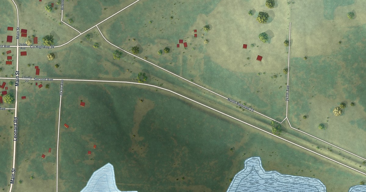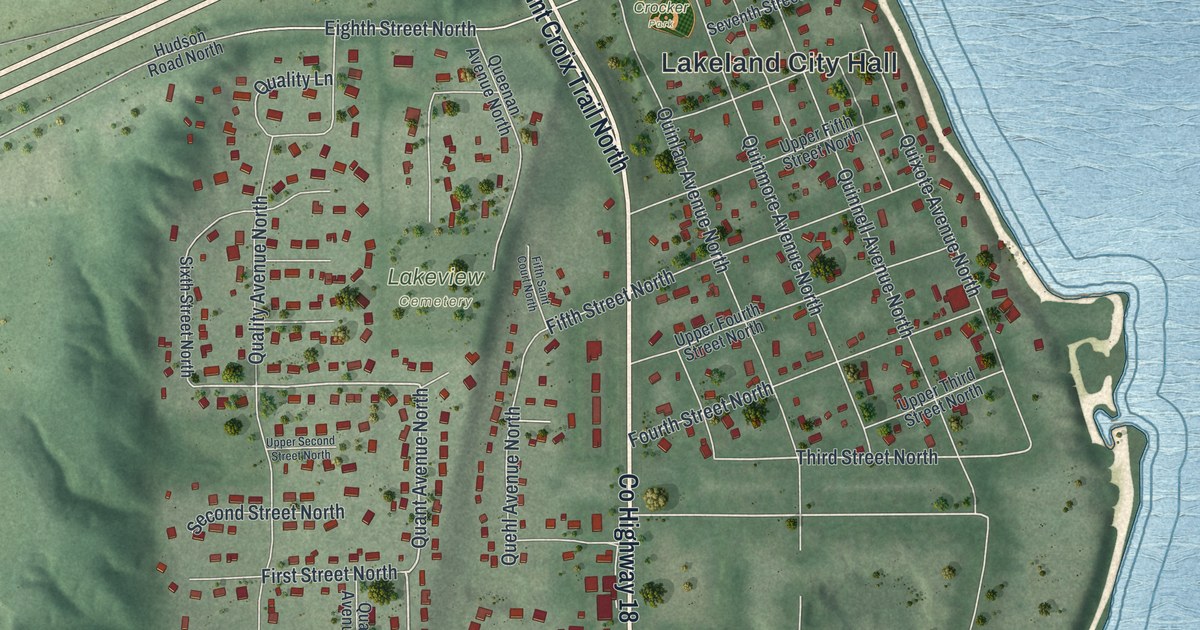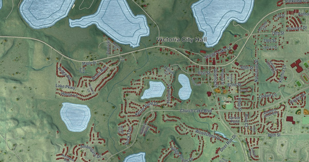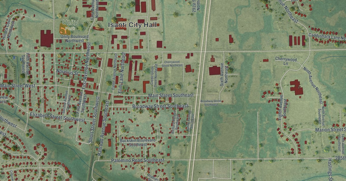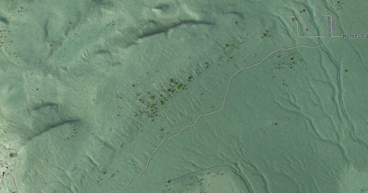
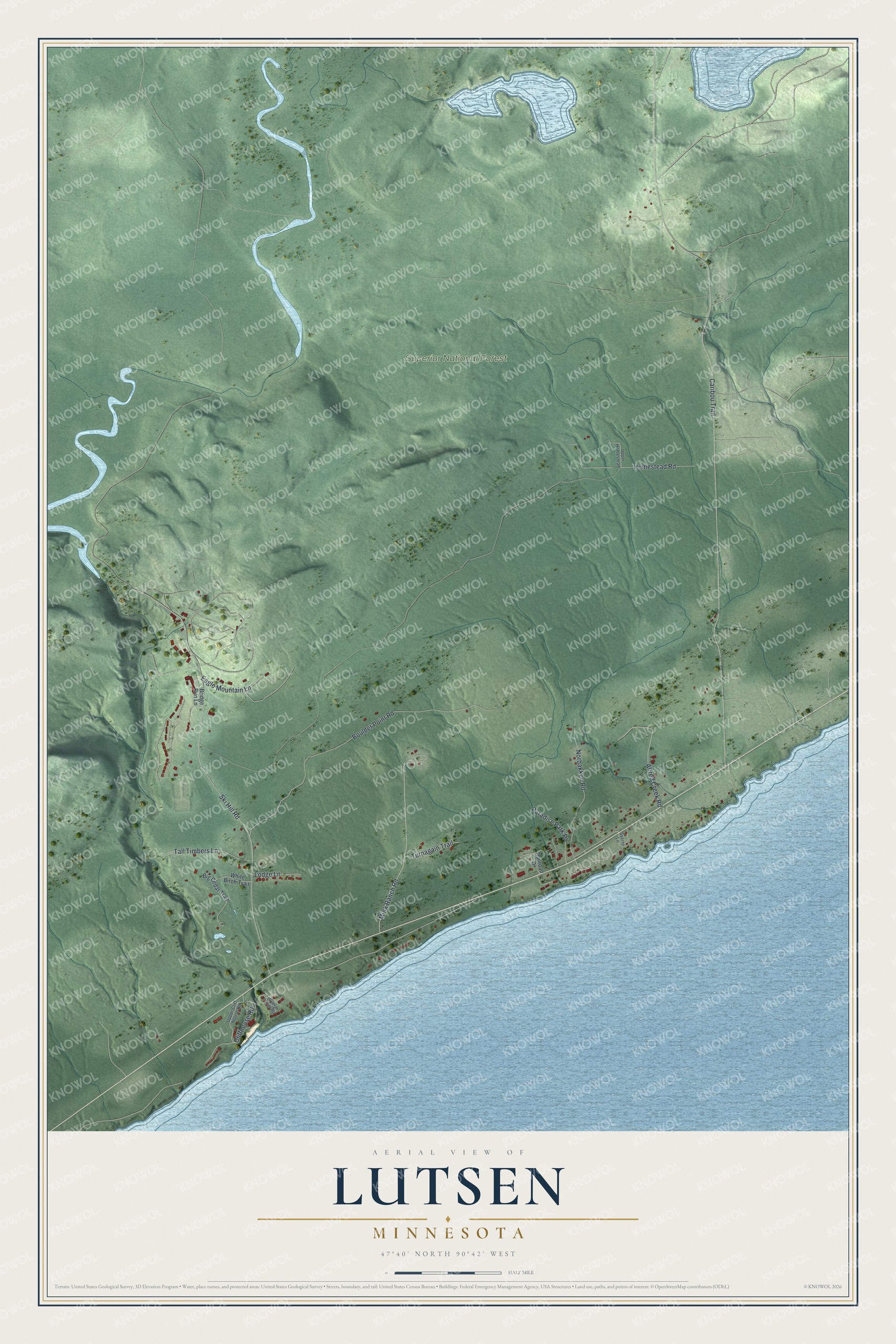
This beautifully detailed map of Lutsen, Minnesota was created in 2026 using aerial imagery combined with modern topographical, census, street and landmark data. It's a modern aerial view of Lutsen in Cook County, Minnesota, that combines modern data with a vintage aesthetic. The roads feature printed names, and if you look closely you can find your exact house accurately shown in its correct location.
Explore an aerial view of Lutsen, Minnesota
On this map you'll find Superior National Forest, Cliffhouse Road, Homestead Road, Caribou Trail, Ski Hill Road, Boulder Point Road, Mink Ranch Road, Norbakken Road, Alfred Creek Road, Paradise Park Place, Tall Timbers Lane, Eagle Mountain Lane, and more. Each red shape is a building, so zoom in on the preview and look for yours.
Lutsen has a story worth telling. Lutsen began as the homestead of Swedish immigrant Charles Axel Nelson, who named the place Lutsen and opened his resort in 1885, years before any road ran up the North Shore. Travelers coming up the shore, usually by water, stopped there, and Nelson made room for them by sending his own children out of their beds. The small town of Lutsen grew up around the resort, and the renowned mail carrier John Beargrease often stopped there before 1900. That's from the Minnesota Public Radio newsroom.
Lutsen is a community in Cook County. The Census Bureau counted 220 people here in 2020.
Take a closer look at the Lutsen map
Names on this map
These names are printed on this map.
Places: Superior National Forest.
Streets and roads: Cliffhouse Road, Homestead Road, Caribou Trail, Ski Hill Road, Boulder Point Road, Mink Ranch Road, Norbakken Road, Alfred Creek Road, Paradise Park Place, Tall Timbers Lane, Eagle Mountain Lane, Turnagain Trail.
More street names, A to Z
Big Cedar Trail, Bridge Run Lane, Lodge Lane, Poplar River Road, Railroad Drive, Sverre Lane, Upper Cliff House Road, Upper Homestead, White Birch Trail.
See it on a wall
The Lutsen map as a framed print. Swipe for more.


Created by KNOWOL in 2026. The buildings are small red shapes, the roads carry their printed names, and shaded relief shows the shape of the land. The title panel reads "AERIAL VIEW OF LUTSEN, MINNESOTA" with 47°40' NORTH 90°42' WEST.
It looks right in a kitchen, an office or a den, and it's a gift for anyone who grew up in Lutsen or moved away. Open the preview and find your street. See sizes and frames for the Lutsen map.