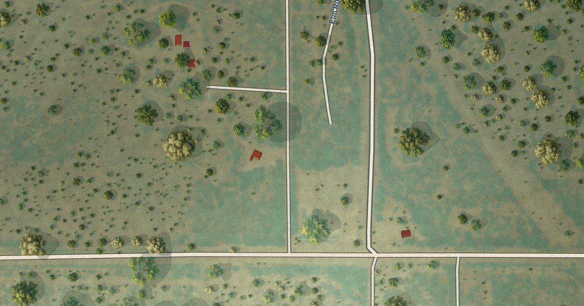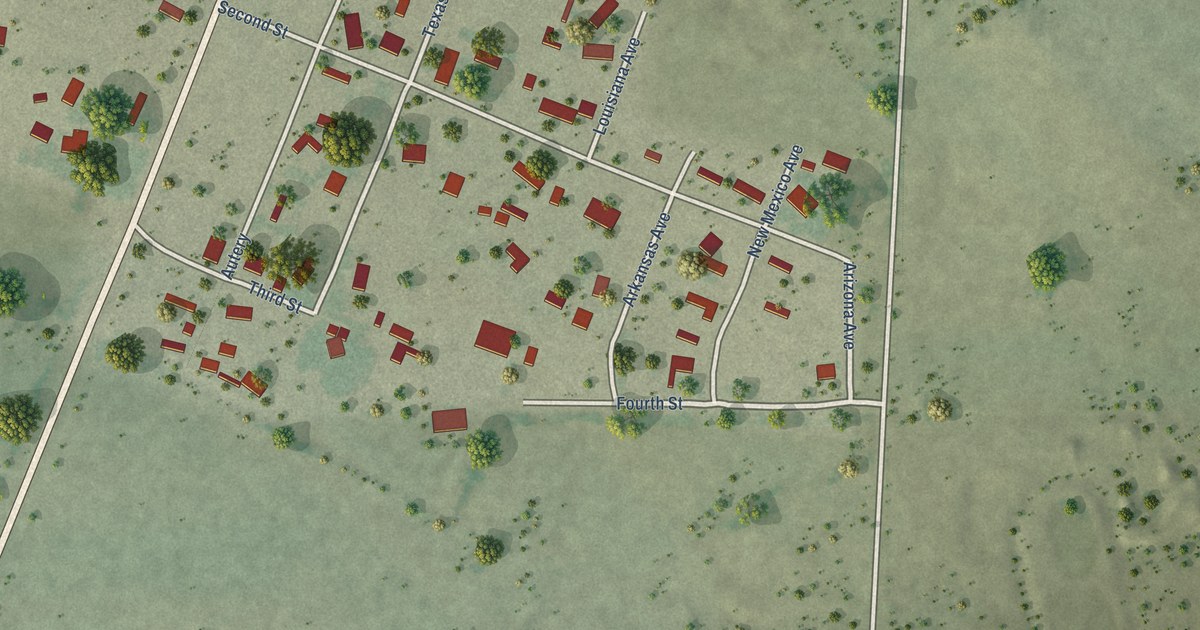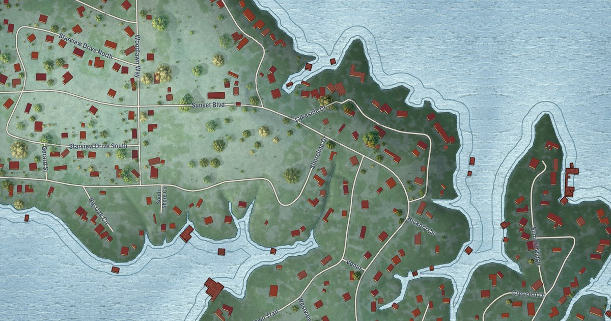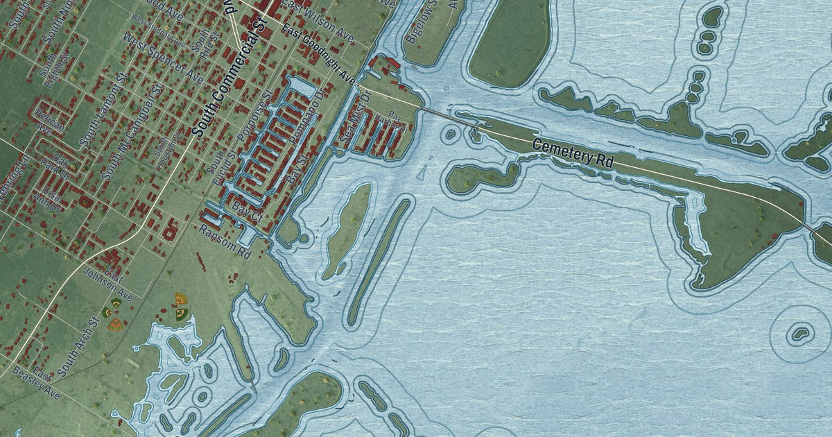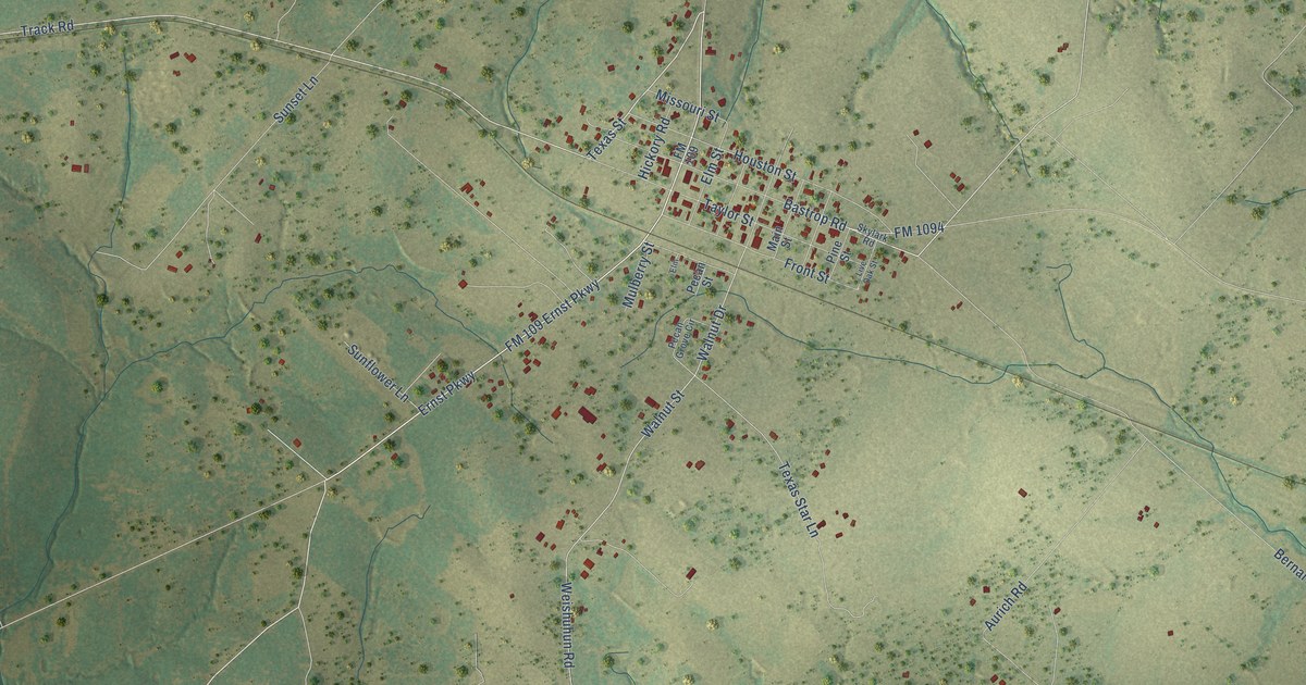
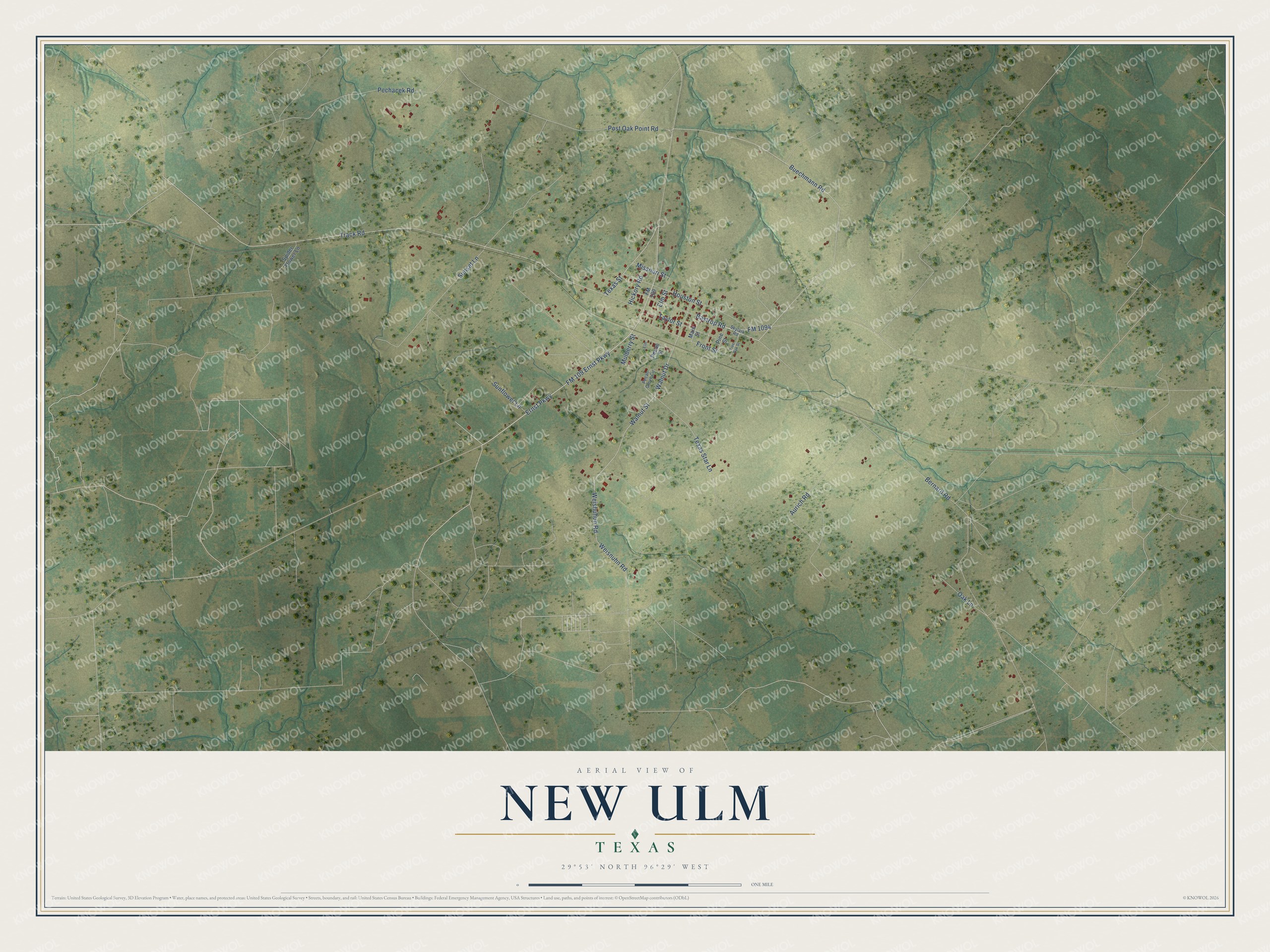
This beautifully detailed map of New Ulm, Texas was created in 2026 using aerial imagery combined with modern topographical, census, street and landmark data. It's a modern aerial view of New Ulm in Austin County, Texas, that combines modern data with a vintage aesthetic. The roads feature printed names, and if you look closely you can find your exact house accurately shown in its correct location.
Explore an aerial view of New Ulm, Texas
On this map you'll find Ernst Parkway, Texas Street, Track Road, FM 109 Ernst Parkway, Buechmann Road, Bernard Road, Oak Lane, Weishuhun Road, Weisnuhn Road, Texas Star Lane, Walnut Street, Post Oak Point Road, and more. Each red shape is a building, so zoom in on the preview and look for yours.
Here is a piece of New Ulm history. New Ulm was first known as Duff's Settlement, for James C. Duff, who got title to the land in 1841. German-speaking settlers came after 1845, and when a post office opened in 1852 the town was named New Ulm, after the city of Ulm in Württemberg, the German province most of its early settlers had left. In the 1850s residents formed a Turnverein, or athletic club, and a Schützenverein, or rifle club, whose members wore light green uniforms. That's from the Handbook of Texas.
New Ulm is a community in Austin County. The Census Bureau counted 285 people here in 2020.
Take a closer look at the New Ulm map
Names on this map
These names are printed on this map.
Streets and roads: Ernst Parkway, Texas Street, Track Road, FM 109 Ernst Parkway, Buechmann Road, Bernard Road, Oak Lane, Weishuhun Road, Weisnuhn Road, Texas Star Lane, Walnut Street, Post Oak Point Road.
More street names, A to Z
Aurich Road, Bastrop Road, Elm, Elm Street, FM 109, FM 1094, Front Street, Hickory Road, Houston Street, Live Oak Street, Main Street, Missouri Street, Mulberry Street, Pecan Grove Circle, Pecan Street, Pechacek Road, Pine Street, Skylark Road, Spider Flower Lane, Sunflower Lane, Sunset Lane, Taylor Street, Walnut Drive.
See it on a wall
The New Ulm map as a framed print. Swipe for more.


Created by KNOWOL in 2026. The buildings are small red shapes, the roads carry their printed names, and shaded relief shows the shape of the land. The title panel reads "AERIAL VIEW OF NEW ULM, TEXAS" with 29°53' NORTH 96°29' WEST.
It suits a den, a classroom or a front hall, and it makes a gift for anyone with New Ulm roots. Open the preview and find the block you know. See sizes and frames for the New Ulm map.