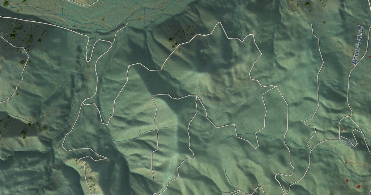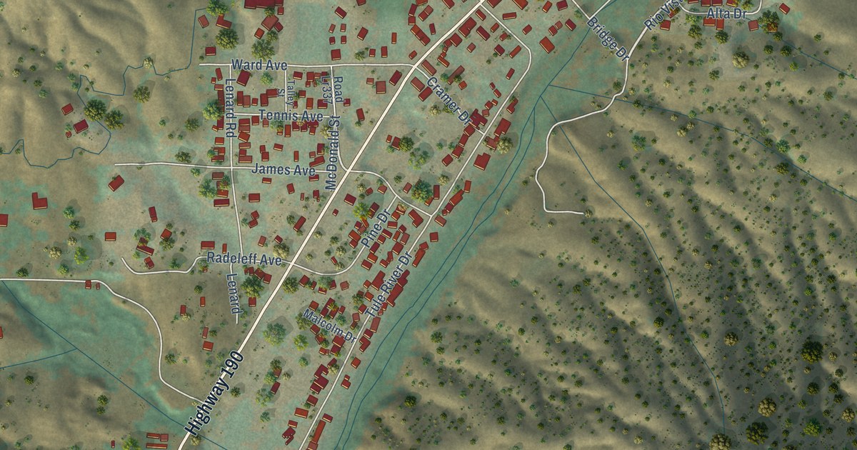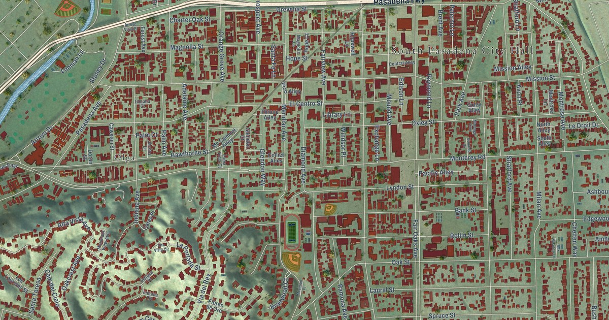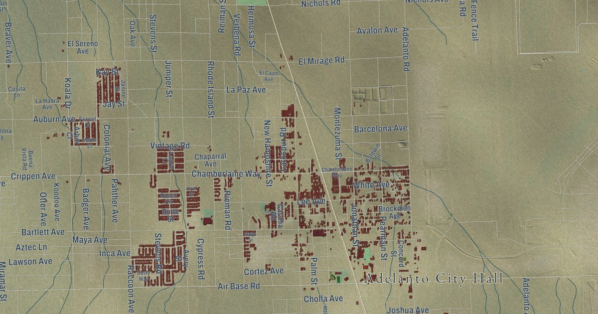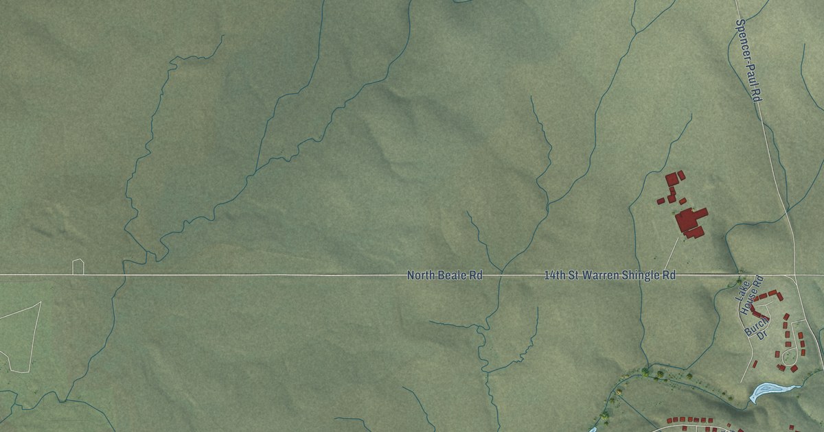
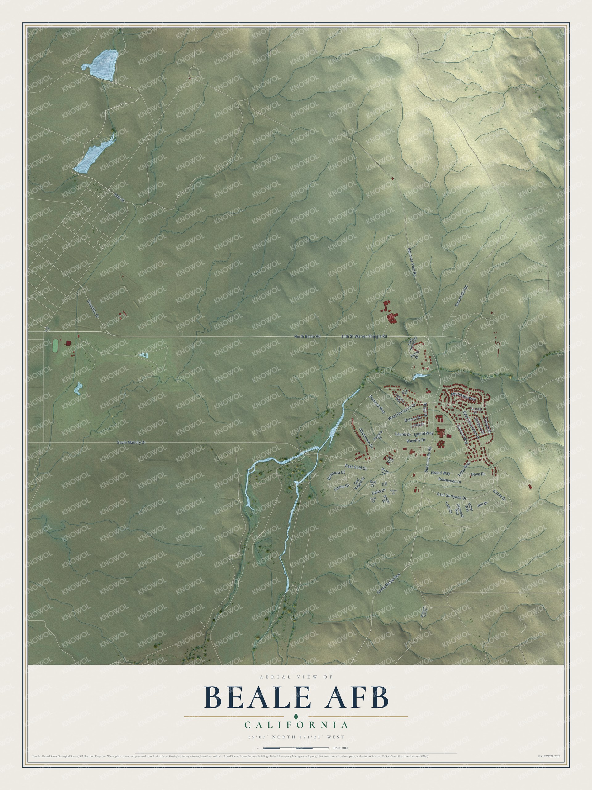
This beautifully detailed map of Beale AFB, California was created in 2026 using aerial imagery combined with modern topographical, census, street and landmark data. It's a modern aerial view of Beale AFB in Yuba County, California, that combines modern data with a vintage aesthetic. The roads feature printed names, and if you look closely you can find your exact house accurately shown in its correct location.
Explore an aerial view of Beale AFB, California
On this map you'll find 34th Street, Camp Beale Highway, Ridge Drive, Spenceville Road, West Garryana Drive, Warren Shingle Road, Gavin Mandry Drive, 14th Street, North Beale Road, Spencer-Paul Road, East Garryana Drive, East Garryanna Drive, and more. Each red shape is a building, so zoom in on the preview and look for yours.
Here is a piece of Beale AFB history. The base carries the name of Edward Fitzgerald Beale, a Naval Academy graduate, surveyor, explorer and Mexican War veteran who came up with the idea of using camels to reach distant Western Army posts. In 1942 the government bought 87,000 acres for Camp Beale, a training post for the 13th Armored Division. Army engineers built most of the camp in less than six months, and at its wartime peak Camp Beale was home to more than 60,000 people. That's from the California State Military Museum.
Beale AFB is a community in Yuba County. The Census Bureau counted 1,303 people here in 2020.
Take a closer look at the Beale AFB map
Names on this map
These names are printed on this map.
Streets and roads: 34th Street, Camp Beale Highway, Ridge Drive, Spenceville Road, West Garryana Drive, Warren Shingle Road, Gavin Mandry Drive, 14th Street, North Beale Road, Spencer-Paul Road, East Garryana Drive, East Garryanna Drive.
More street names, A to Z
23rd Street, Altamonte Drive, Bonanza Court, Burch Drive, Circle Drive, Delmar Drive, Delta Drive, Doolittle Drive, Dove Drive, Dumosa Way, East Gold Court, East Nugget Court, Echo Way, Falcon Court, Flume Court, Grand Way, Gull Court, Harpole Drive, Hill Drive, Ibis Court, Ilex Way, Lake House Road, Lark Drive, Latana Way, Laurel Drive, Laurel Way, Loma Drive, Merrinack Way, Miller Way, Monarch Trail Drive, Octavia Drive, Redmond Way, Robin Court, Rosswood Drive, Smartville Road, Tannen Way, Teal Court, Tern Court, Terrace Drive, Tyburn Drive, Waverly Drive, Wren Court.
See it on a wall
The Beale AFB map as a framed print. Swipe for more.


Created by KNOWOL in 2026. The buildings are small red shapes, the roads carry their printed names, and shaded relief shows the shape of the land. The title panel reads "AERIAL VIEW OF BEALE AFB, CALIFORNIA" with 39°07' NORTH 121°21' WEST.
It suits a den, a classroom or a front hall, and it makes a gift for anyone with Beale AFB roots. Open the preview and find the block you know. See sizes and frames for the Beale AFB map.