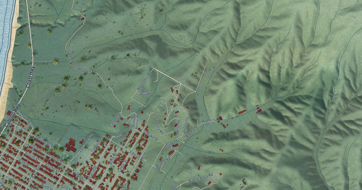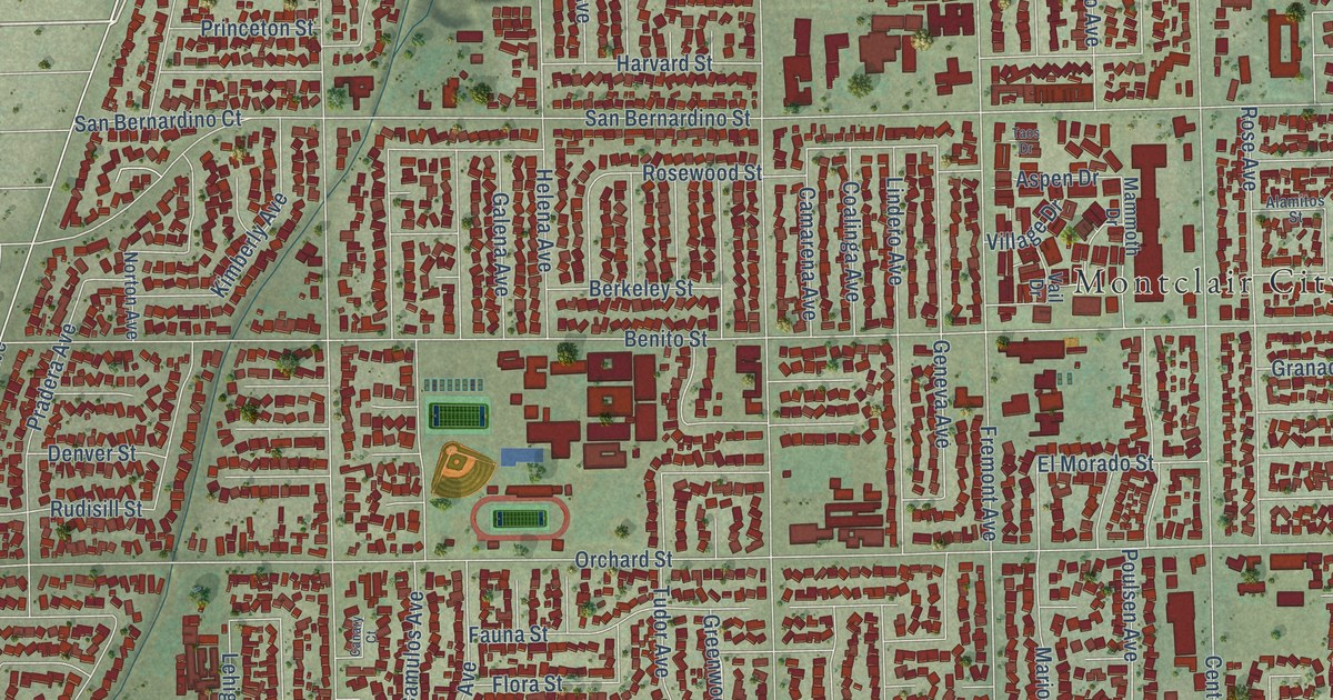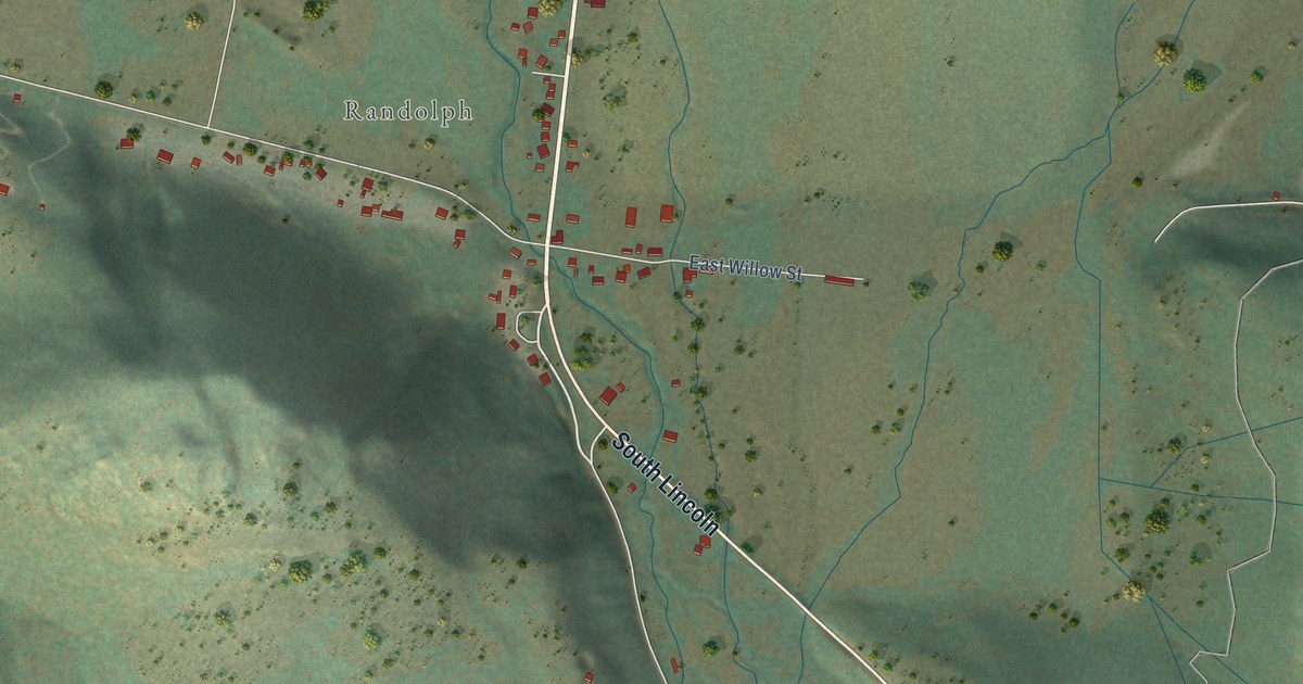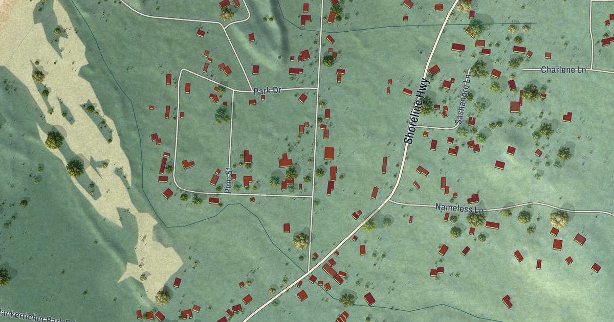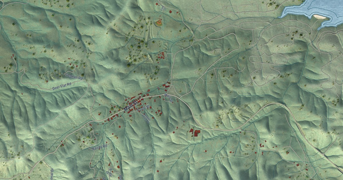
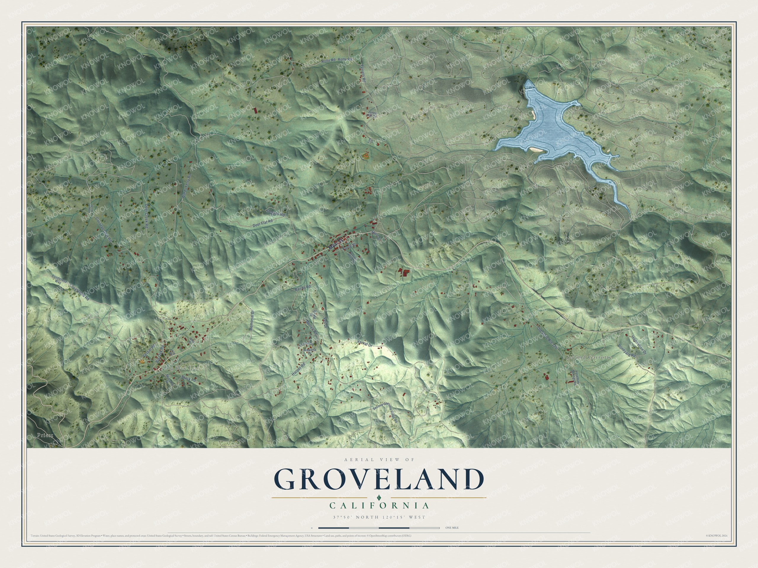
This beautifully detailed map of Groveland, California was created in 2026 using aerial imagery combined with modern topographical, census, street and landmark data. It's a modern aerial view of Groveland in Tuolumne County, California, that combines modern data with a vintage aesthetic. The roads feature printed names, and if you look closely you can find your exact house accurately shown in its correct location.
Explore an aerial view of Groveland, California
On this map you'll find Second Garrotte, Big Oak Flat, Priest, Main Street, Wards Ferry Road, Longfellow Road, Boneyard Road, Merrell Road, Ferretti Road, Vernal Drive, Deer Flat Road, Harper Road, and more. Each red shape is a building, so zoom in on the preview and look for yours.
Groveland has a story worth telling. When San Francisco built its Hetch Hetchy water and power system, it chose Groveland as its Mountain Division Headquarters. A railroad was laid twenty-seven miles east to Groveland to carry materials, equipment and laborers, and the town became the home of its shops and warehouse. Many of Groveland's buildings date from those years. The town began as a Gold Rush camp called First Garrote, and in 1875 residents who wanted a more welcoming image for travelers had it renamed Groveland. That's from the National Register of Historic Places.
Groveland is a community in Tuolumne County. The Census Bureau counted 540 people here in 2020.
Take a closer look at the Groveland map
Names on this map
These names are printed on this map.
Places: Second Garrotte, Big Oak Flat and Priest.
Streets and roads: Main Street, Wards Ferry Road, Longfellow Road, Boneyard Road, Merrell Road, Old State Route 120, Ferretti Road, Vernal Drive, Deer Flat Road, Harper Road, Deer Creek Road, Cocoran Gray Road.
More street names, A to Z
Andrews Dirt Road, Bairds Road, Big Oak Road, Black Road, Bridal Drive, Degnan Road, El Capitan Way, Flint Court, Foote Street, Inspiration Drive, Jones Hill Court, Memorial Drive, Musante Street, Piltz Road, Ponderosa Way, Powder House Street, Rolfe Road, Rolte Road, Second Garrotte Ridge Road, Shop Street, Vassar Road, Veil Drive, Wawona Drive, Yosemite Springs Road.
See it on a wall
The Groveland map as a framed print. Swipe for more.


Created by KNOWOL in 2026. The buildings are small red shapes, the roads carry their printed names, and shaded relief shows the shape of the land. The title panel reads "AERIAL VIEW OF GROVELAND, CALIFORNIA" with 37°50' NORTH 120°15' WEST.
It looks right in a kitchen, an office or a den, and it's a gift for anyone who grew up in Groveland or moved away. Open the preview and find your street. See sizes and frames for the Groveland map.