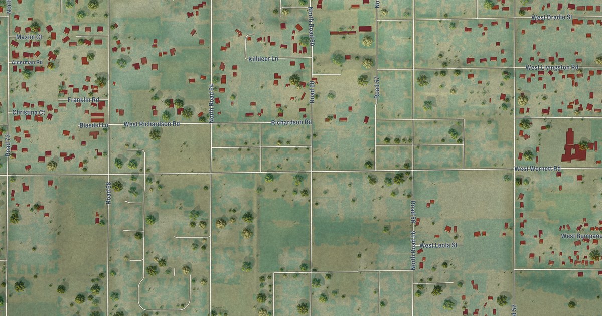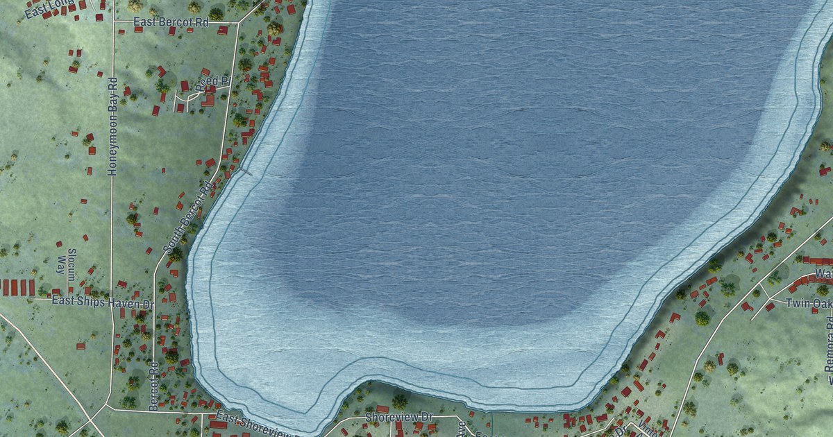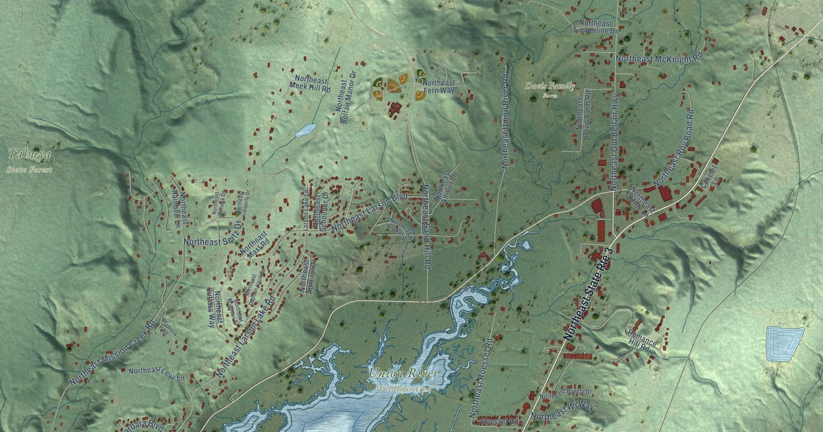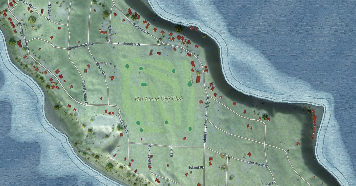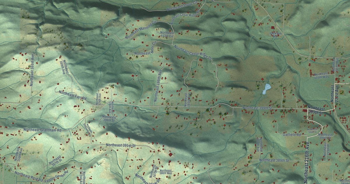
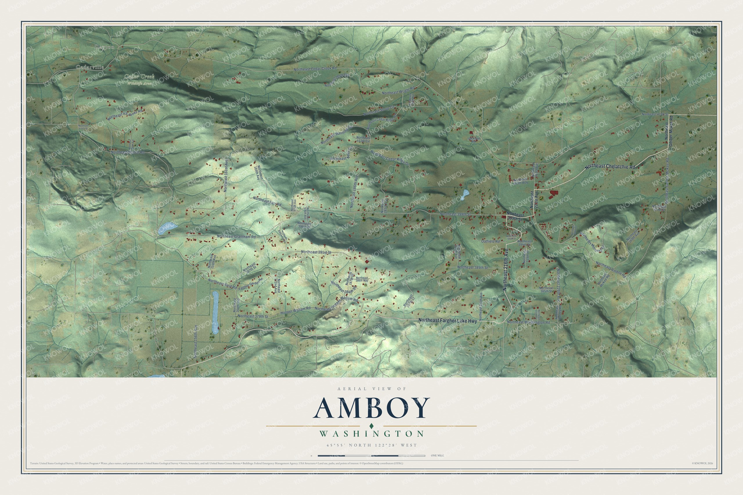
This beautifully detailed map of Amboy, Washington was created in 2026 using aerial imagery combined with modern topographical, census, street and landmark data. It's a modern aerial view of Amboy in Clark County, Washington, that combines modern data with a vintage aesthetic. The roads feature printed names, and if you look closely you can find your exact house accurately shown in its correct location.
Explore an aerial view of Amboy, Washington
On this map you'll find Cedarville, Dayton, Cedar Creek Wildlife Area, Northeast Chelatchie Road, Northeast 216th Avenue, Northeast Fargher Lake Highway, Northeast 399th Street, Oatfield Road, Northeast Cedar Creek Road, Northeast Munch Road, Northeast Cedar Ridge Drive, Northeast Grantham Road, and more. Each red shape is a building, so zoom in on the preview and look for yours.
Amboy has a story worth telling. Amboy's founder, Amos M. Ball, was a Civil War veteran from Black River Falls, Wisconsin, who came to Clark County in 1879 to find a good spot for a water-powered sawmill. His mill on Cedar Creek started up on January 15, 1887, and the town slowly grew up around it. Lower Amboy held the Ball mill and two cheese factories. Upper Amboy, up away from the floods of Cedar Creek, became the business and home district, lined with boardwalks. That's from the National Register of Historic Places.
Amboy is a community in Clark County. The Census Bureau counted 1,800 people here in 2020.
Take a closer look at the Amboy map
Names on this map
These names are printed on this map.
Places: Cedarville, Dayton and Cedar Creek Wildlife Area.
Streets and roads: Northeast Chelatchie Road, Northeast 216th Avenue, Northeast Fargher Lake Highway, Northeast 399th Street, Oatfield Road, Northeast Cedar Creek Road, Northeast Munch Road, Northeast Cedar Ridge Drive, Northeast Grantham Road, Northeast Gerber McKee Road, Northeast Amboy Road, Hooper Wollam Road.
More street names, A to Z
Fargher Garden Road, Jackson Road, Northeast 145th Avenue, Northeast 156th Avenue, Northeast 159th Avenue, Northeast 161st Avenue, Northeast 164th Avenue, Northeast 169th Avenue, Northeast 172nd Avenue, Northeast 174th Avenue, Northeast 176th Avenue, Northeast 185th Avenue, Northeast 186th Avenue, Northeast 187th Place, Northeast 193rd Avenue, Northeast 197th Court, Northeast 198th Avenue, Northeast 207th Avenue, Northeast 211th Avenue, Northeast 219th Place, Northeast 221st Avenue, Northeast 222nd Court, Northeast 226th Avenue, Northeast 228th Court, Northeast 379th Street, Northeast 384th Street, Northeast 385th Street, Northeast 386th Way, Northeast 387th Street, Northeast 389th Avenue, Northeast 389th Street, Northeast 391st Street, Northeast 394th Street, Northeast 395th Street, Northeast 396th Street, Northeast 401st Street, Northeast 405th Way, Northeast 413th Circle, Northeast 414th Street, Northeast 419th Street, Northeast Alderwood Drive, Northeast Cedar Ridge Road, Northeast Farr Road, Northeast Gerber-Mckee Road, Northeast Hooper Wollam Road, Northeast Ira Jones Road, Northeast Manning Circle, Northeast McKee Road, Northeast Morning Drive, Northeast Neer Circle, Northeast Reid Road, Northeast Sloop Circle, Northeast Varney Road, Northeast Worthington Road, Northeast Wright Road.
See it on a wall
The Amboy map as a framed print. Swipe for more.


Created by KNOWOL in 2026. The buildings are small red shapes, the roads carry their printed names, and shaded relief shows the shape of the land. The title panel reads "AERIAL VIEW OF AMBOY, WASHINGTON" with 45°55' NORTH 122°28' WEST.
It looks right in a kitchen, an office or a den, and it's a gift for anyone who grew up in Amboy or moved away. Open the preview and find your street. See sizes and frames for the Amboy map.