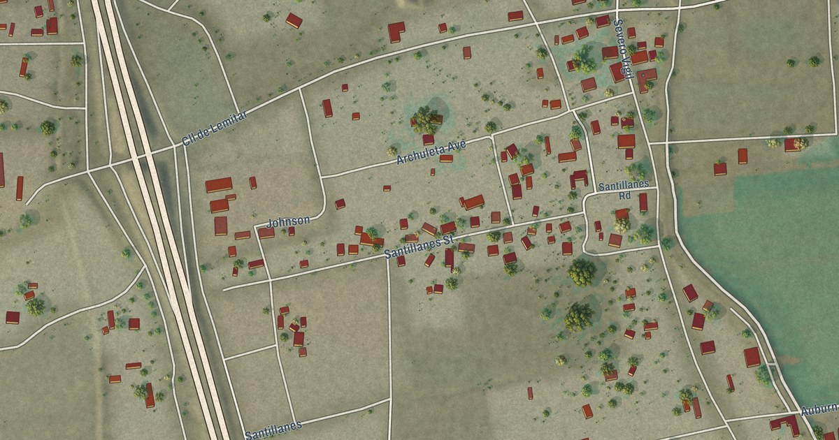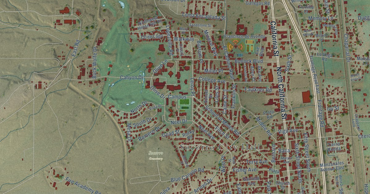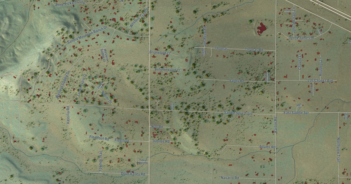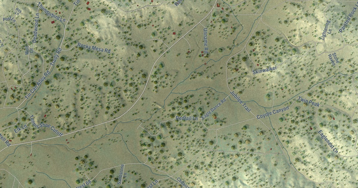
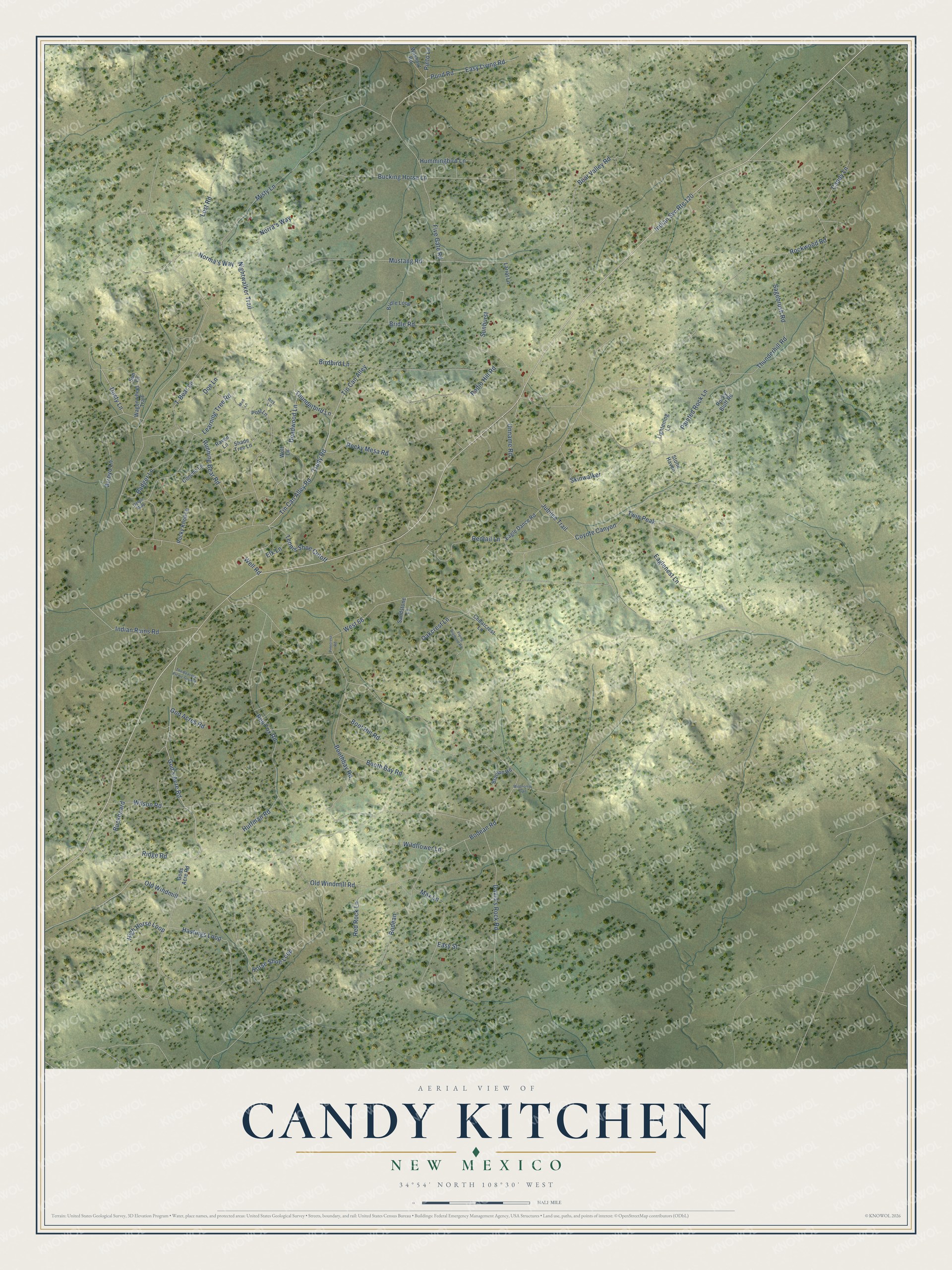
This beautifully detailed map of Candy Kitchen, New Mexico was created in 2026 using aerial imagery combined with modern topographical, census, street and landmark data. It's a modern aerial view of Candy Kitchen in Cibola County, New Mexico, that combines modern data with a vintage aesthetic. The roads feature printed names, and if you look closely you can find your exact house accurately shown in its correct location.
Explore an aerial view of Candy Kitchen, New Mexico
On this map you'll find Thunderbird Lane, Deadwood Lane, Tin Can Alley Road, God's Acre Road, Old Windmill, Coyote Canyon, Mustang Road, Tin Can Alley, Pinto Lane, Ridge Road, Bodean Road, Well Road, and more. Each red shape is a building, so zoom in on the preview and look for yours.
Every town has a first chapter, and Candy Kitchen is no exception. Wild Spirit Wolf Sanctuary was founded in 1991 as the Candy Kitchen Wolf and Wolfdog Rescue Ranch by the late Jacque Evans, a local artist who paid for the rescued wolves and wolfdogs with the profits from her paintings. In time the sanctuary also took in coyotes, New Guinea singing dogs and red foxes. Barbara Berge, who had been rescuing wolfdogs in Albuquerque, joined her as co-founder in 1993. That's from the Wild Spirit Wolf Sanctuary.
Candy Kitchen is a community in Cibola County. The Census Bureau counted 107 people here in 2020.
Take a closer look at the Candy Kitchen map
Names on this map
These names are printed on this map.
Streets and roads: Thunderbird Lane, Deadwood Lane, Tin Can Alley Road, God's Acre Road, Indian Svc Route 120, Old Windmill, Coyote Canyon, Mustang Road, Tin Can Alley, Pinto Lane, Ridge Road, Bodean Road.
More street names, A to Z
Arroyo Lane, Badger Lane, Bear Valley Road, Birdbird Lane, Blanton Road, Bodean, Boothbay Road, Booth Bay Road, Boot Hill Road, Bridle Loop, Bridle Road, Buckboard, Bucking Horse Lane, Candy Lane, Cedarcrest Lane, Concho Lane, David's Rock Road, Delph Way, Doe Lane, Dusty Lane, Eagle Dance Road, Eaglenest Lane, Easy Living Road, Easy Street, Elk Lane, Five Gate Road, Flying Diamond Road, God Acres Road, Gods Acre Road, Hastings Loop, High Horse Loop, Horse Shoe Loop, Huffman Road, Hummingbird Lane, Indian Ruins Road, Jubilee Trail, Lariat Lane, Learning Tree Road, Lightening Lane, Lost Road, Max Lane, Misty Lane, Mud Lane, Nightwalker Trail, Norma's Way, Norra's Way, Oakcrest Lane, Old Windmill Road, Painted Rock Lane, Pinecrest Road, Pond Road, Post Lane, Radio Hill Road, Raven Lane, Red Fox Road, Red Rock Lane, Redtail Lane, Rockwood Road, Rocky Bluff Road, Rocky Knoll Lane, Rocky Mesa Road, Roy Lane, Running Bear Road, Sagebrush Road, Sandstone Lane, Shade Tree Lane, Skinwalker, Stone Haven, Sunburst, Sun Lane, T-Bear Lane, Tennis Shoe Cutoff, The Beavers Picnic Ground, Thunderhill Road, Trudy Road, Twin Peak, Unname Road, Wagonwheel Trail, Washout Road, Well Road, West 66, Wildflower Lane, Wildhorse Trail, Wilson Road, Wolf Lane.
See it on a wall
The Candy Kitchen map as a framed print. Swipe for more.


Created by KNOWOL in 2026. The buildings are small red shapes, the roads carry their printed names, and shaded relief shows the shape of the land. The title panel reads "AERIAL VIEW OF CANDY KITCHEN, NEW MEXICO" with 34°54' NORTH 108°30' WEST.
Hang it in the hallway, the office or the cabin, or give it to someone who left Candy Kitchen and still calls it home. Open the preview and look for a street you know. See sizes and frames for the Candy Kitchen map.