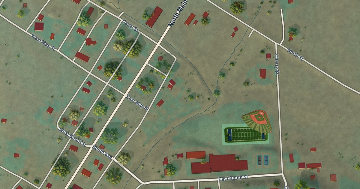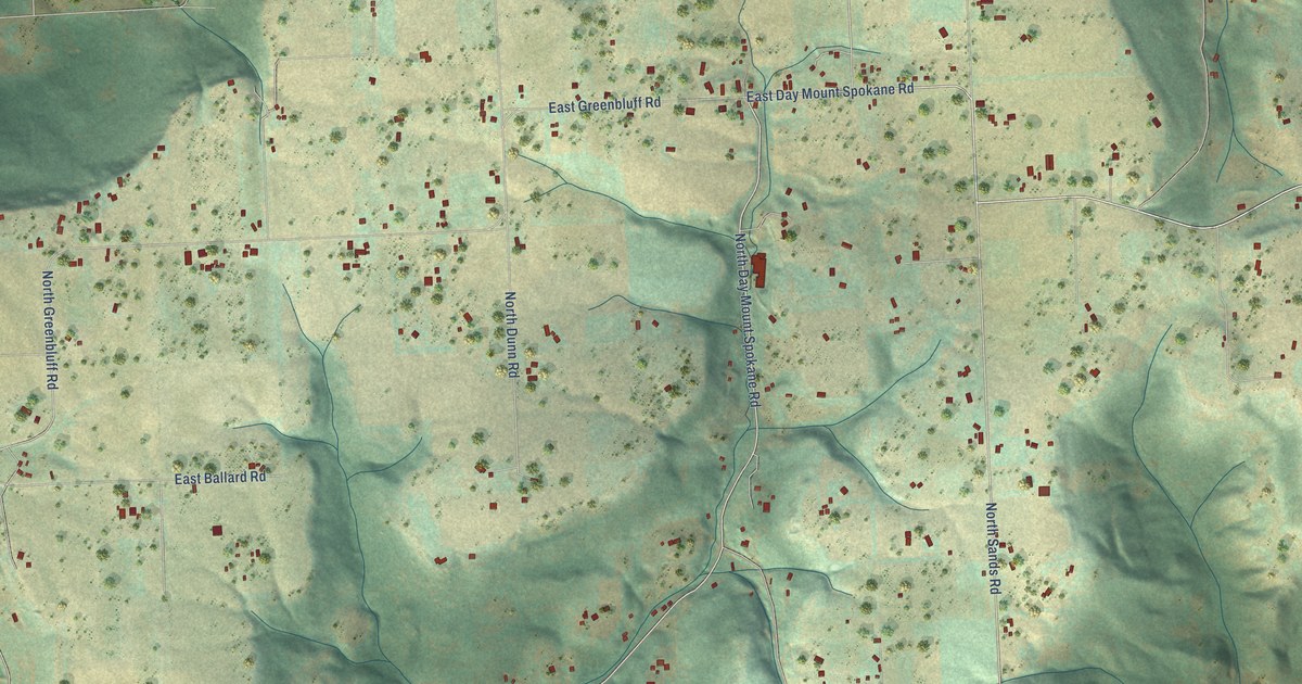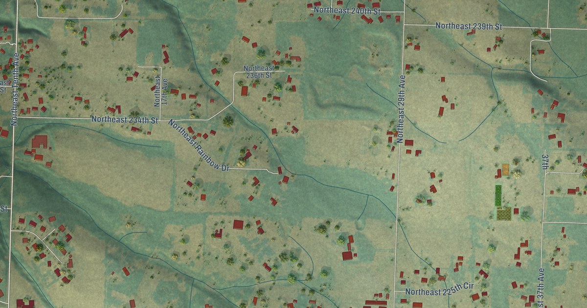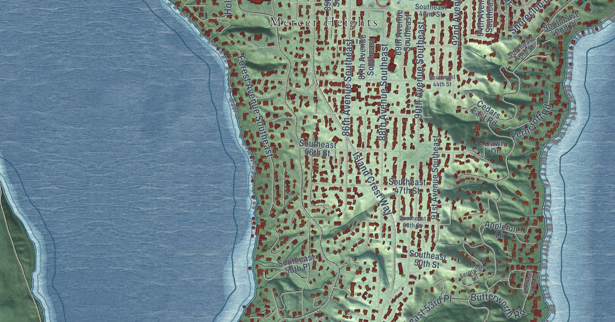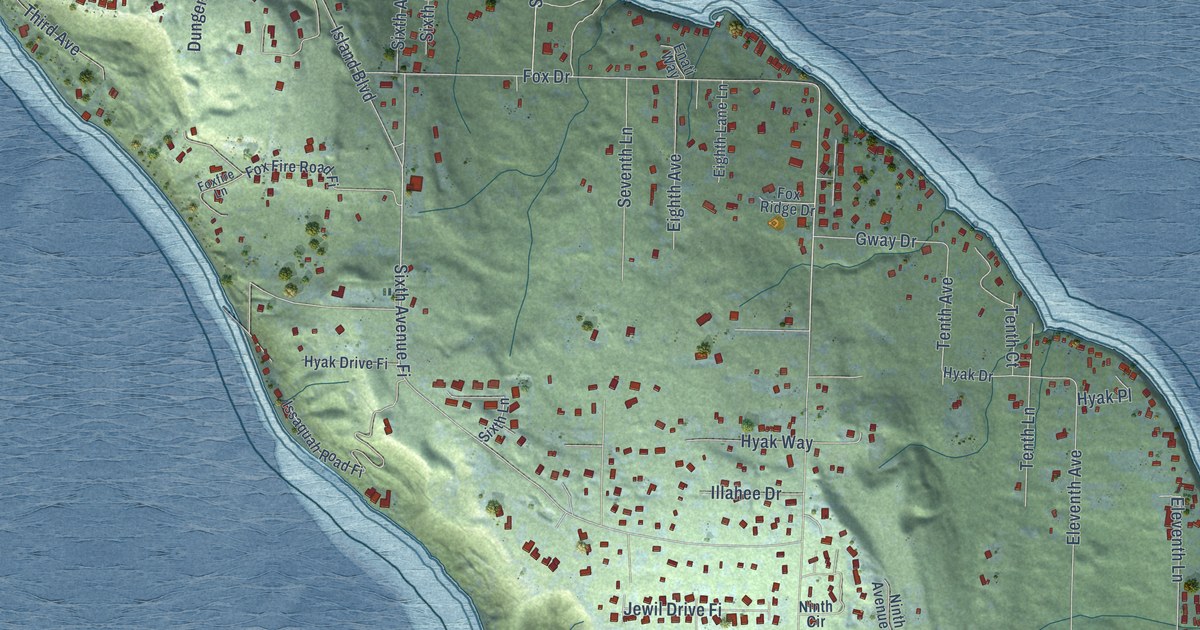
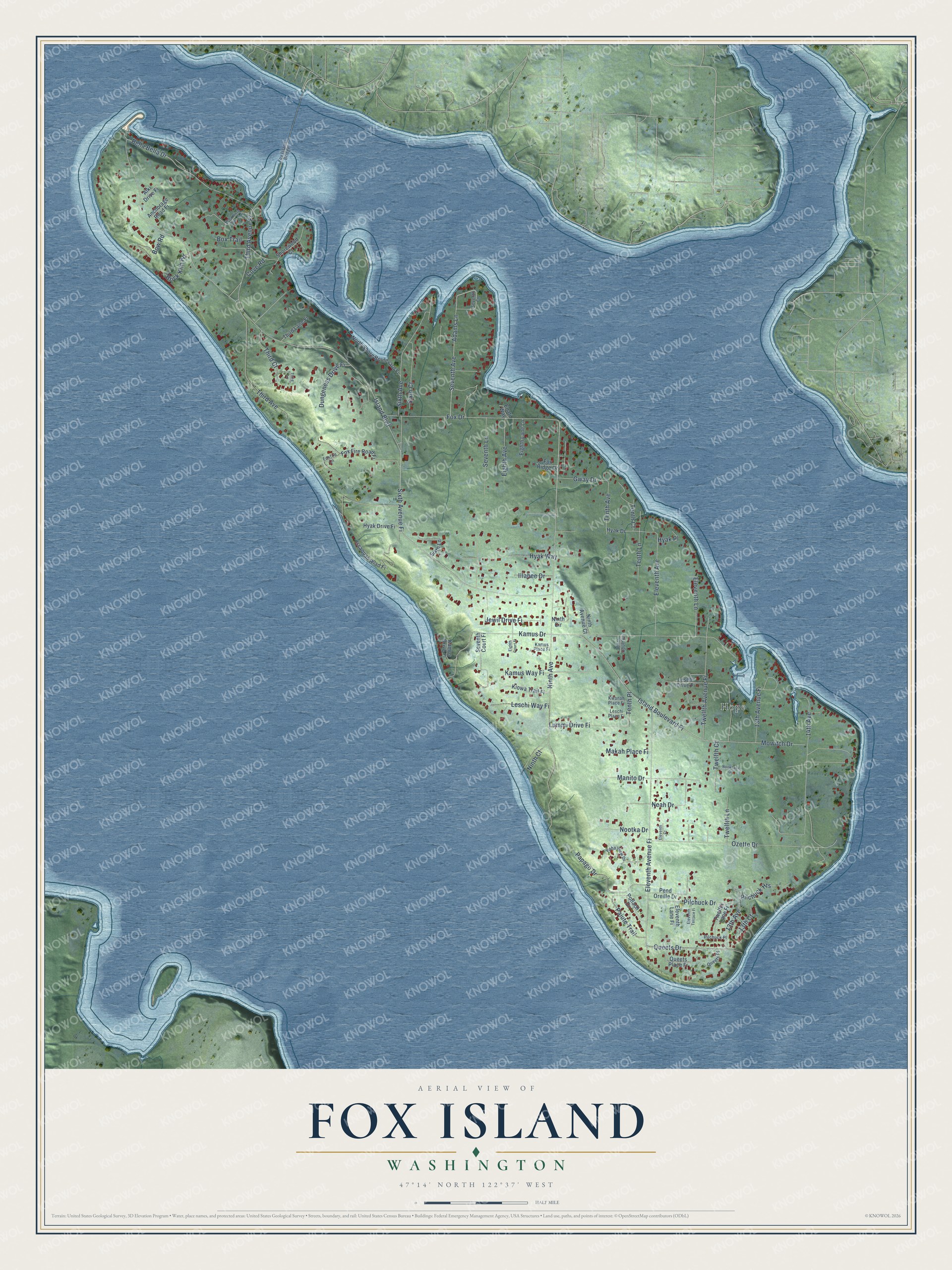
This beautifully detailed map of Fox Island, Washington was created in 2026 using aerial imagery combined with modern topographical, census, street and landmark data. It’s a one-of-a-kind view of Fox Island that combines accurate data with a vintage aesthetic. The map shows every building in its true location, many of the roads carry their names, and the shaded topographic relief shows the shape of the land.
Explore an aerial view of Fox Island, Washington
On the map you’ll find Hope, Sixth Avenue Fi, Eleventh Avenue Fi, Island Boulevard Fi, and Third Avenue Fi, along with Ninth Avenue, Island Boulevard, Kamus Drive, 14th Avenue, Ozette Drive, Fox Drive, Sixth Avenue, and more. If you look closely you can even find your house accurately drawn in its correct location. Zoom in on the preview to look for yours.
Did You Know?
The Wilkes Expedition named Fox Island in 1841 for J. L. Fox, an assistant surgeon on the expedition. A British Admiralty chart drawn by Inskip in 1846 showed the island as Rosario, but the older name has lasted. That's from the Washington Historical Quarterly.
Take a closer look at the Fox Island map
Names on this map
These names are printed on this map.
Places: Hope.
Streets and roads: Ninth Avenue, Sixth Avenue Fi, Island Boulevard, Kamus Drive, Eleventh Avenue Fi, 14th Avenue, Ozette Drive, Fox Drive, Island Boulevard Fi, Bella Bella Drive, Sixth Avenue, Third Avenue Fi.
More street names, A to Z
13th Avenue, 13th Avenue Fi, 13th Court, Adams Lane, Alki Drive Fi, Anchorage Road Fi, Bella Vista Drive Fi, Bow Road, Box Trail, Brick Kiln Road, Cove Road, Dungeness Drive Fi, Eighth Avenue, Eighth Court Fi, Eighth Lane Lane, Eleventh Avenue, Eleventh Court, Eleventh Lane, Eleventh Lane Fi, Eleventh Terrace Fi, Enati Way, Foxfire Lane, Fox Fire Road Fi, Fox Island Bridge, Fox Ridge Drive, Gway Drive, Hyak Drive, Hyak Drive Fi, Hyak Place, Hyak Way, Illahee Drive, Issaquah Road Fi, Jewil Drive Fi, Kamus Drive Fi, Kamus Place Fi, Kamus Way Fi, Kiowa Trail Fi, Kwanah Place Fi, Leschi Drive Fi, Leschi Place Fi, Leschi Way Fi, Lummi Drive Fi, Makah Place Fi, Manito Drive, Mowitch Drive, Neah Drive, Ninth Avenue Court, Ninth Circle, Ninth Court, Nooksack Drive, Nootka Drive, North Shore Boulevard Fi, Paha View Drive, Paiute Trail, Papago Drive, Pend Oreille Drive, Pilchuck Drive, Pilchuck Heights, Pilchuck Place, Potlach Drive, Queets Drive, Queets Place, Queets Place Fi, Seventh Avenue, Seventh Court, Seventh Court Fi, Seventh Lane, Shorewood Court, Sixth Court, Sixth Lane, Tenth Avenue, Tenth Court, Tenth Court Fi, Tenth Lane, Tenth Place, Third Avenue, Third Court, Third Lane, Third Lane Fi, Twelfth Avenue Fi, Twelfth Court, Twelfth Lane, Twelfth Lane Fi.
See it on a wall
The Fox Island map as a framed print. Swipe for more.


This beautifully detailed map of Fox Island makes an attractive addition to your office, library, or den, and it can even be used to teach children the geography and history of the area. It also makes a great gift for anyone who grew up in Fox Island or moved away. When you’re done exploring, click here to get your copy of the Fox Island map.