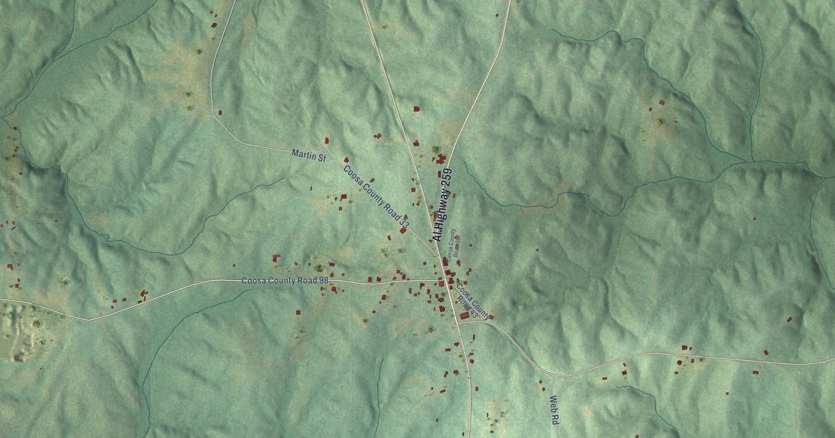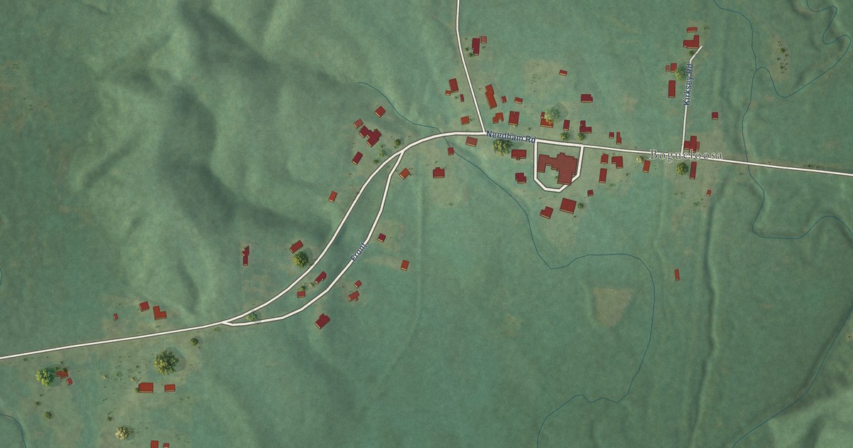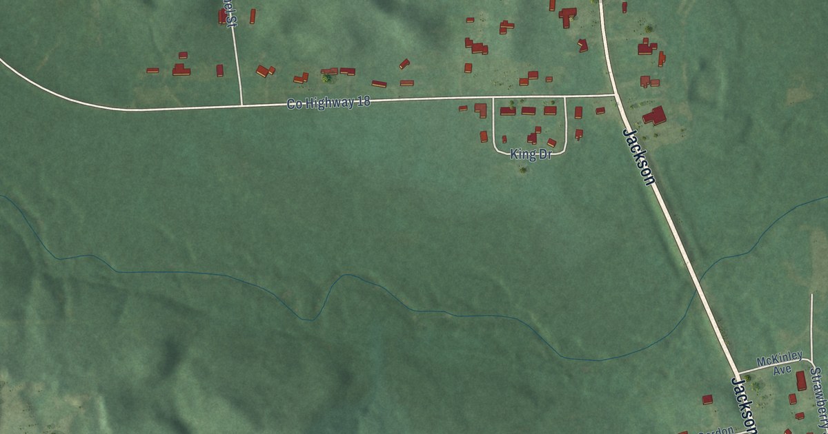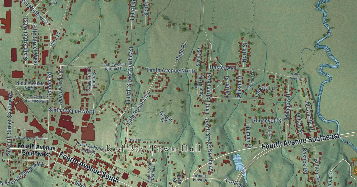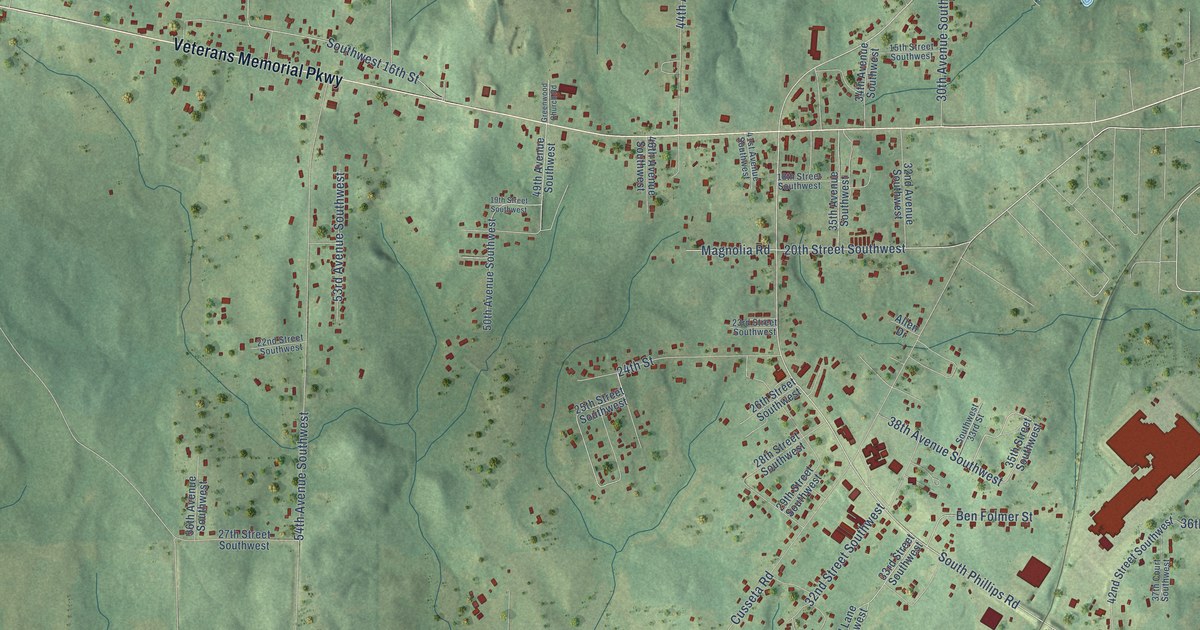
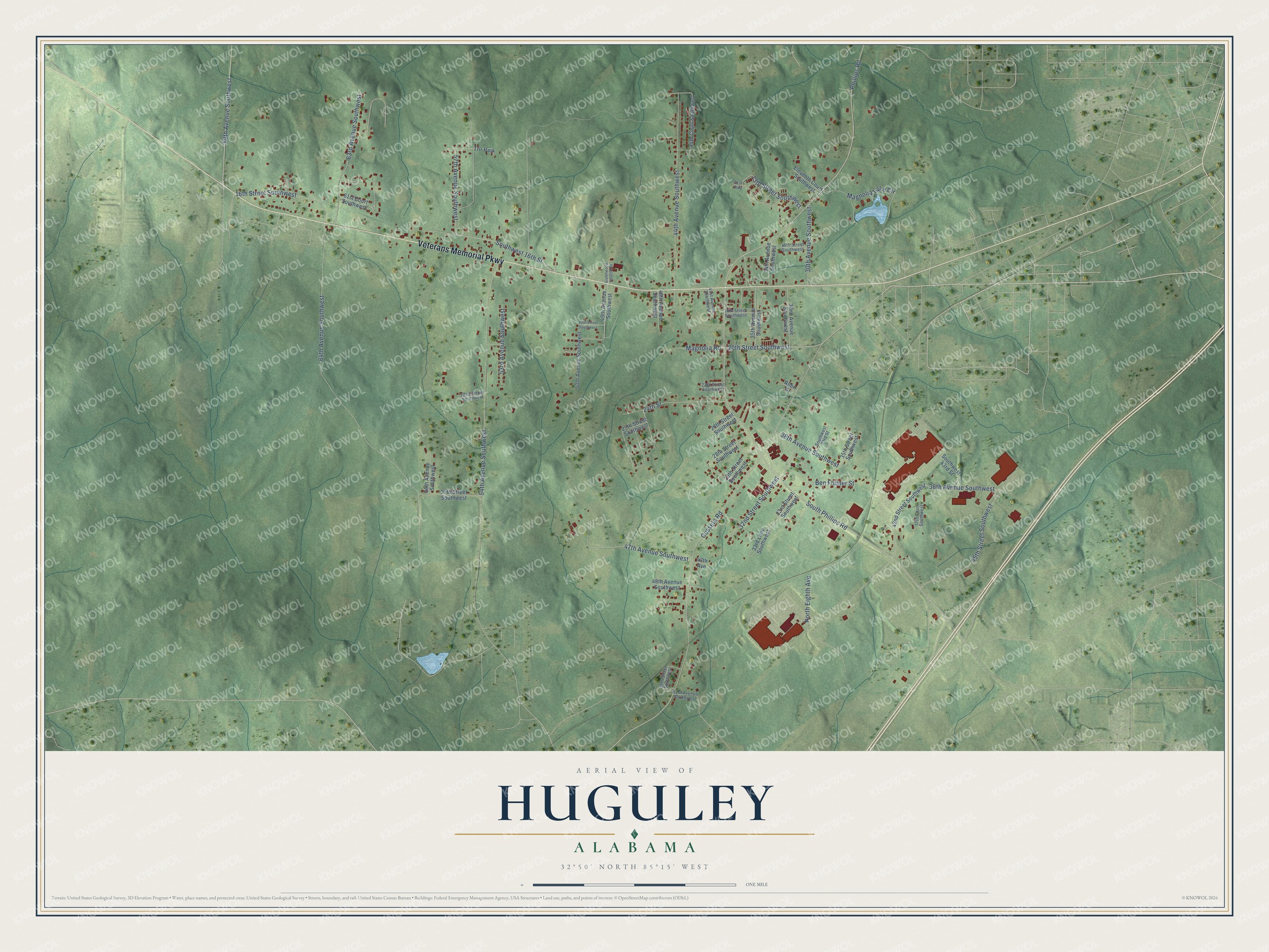
This beautifully detailed map of Huguley, Alabama was created in 2026 using aerial imagery combined with modern topographical, census, street and landmark data. It’s a one-of-a-kind view of Huguley that combines accurate data with a vintage aesthetic. The map shows every building in its true location, many of the roads carry their names, and the shaded topographic relief shows the shape of the land.
Explore an aerial view of Huguley, Alabama
On the map you’ll find Veterans Memorial Parkway, Magnolia Road, South Phillips Road, Phillips Road, 30th Avenue Southwest, 47th Avenue Southwest, Cusseta Road, 64th Avenue Southwest, 16th Street Southwest, 44th Avenue Southwest, 54th Avenue Southwest, North Eighth Avenue, and more. If you look closely you can even find your house accurately drawn in its correct location. Zoom in on the preview to look for yours.
Did You Know?
In 1967 West Point-Pepperell opened twin mills at Huguley, the Joseph L. Lanier Mill and the Homer M. Carter Mill, named for the company's chairman and president. The sheeting mill alone could turn out about 7.2 million percale sheets and pillowcases a year. The company traced its start to August 1, 1866, when planters and merchants of the Chattahoochee Valley pooled their resources to launch the Chattahoochee Manufacturing Company. That's from the Congressional Record.
Take a closer look at the Huguley map
Names on this map
These names are printed on this map.
Places: Trlr Park.
Streets and roads: Veterans Memorial Parkway, Magnolia Road, South Phillips Road, Phillips Road, 30th Avenue Southwest, 47th Avenue Southwest, Cusseta Road, 64th Avenue Southwest, 16th Street Southwest, 44th Avenue Southwest, 54th Avenue Southwest, North Eighth Avenue.
More street names, A to Z
13th Street Southwest, 15th Street Southwest, 18th Street Southwest, 19th Street Southwest, 20th Street Southwest, 22nd Street Southwest, 23rd Street Southwest, 24th Street, 25th Street Southwest, 26th Street Southwest, 27th Street Southwest, 28th Street Southwest, 29th Street Southwest, 31st Avenue, 32nd Avenue Southwest, 32nd Street Southwest, 33rd Lane Southwest, 33rd Street Southwest, 34th Avenue Southwest, 35th Avenue Southwest, 35th Street Southwest, 36th Avenue Southwest, 37th Court Southwest, 38th Avenue Southwest, 39th Street Southwest, 41st Avenue Southwest, 42nd Street Southwest, 44th Court Southwest, 45th Street Southwest, 46th Avenue Southwest, 47th Avenue, 48th Avenue Southwest, 49th Avenue Southwest, 50th Avenue Southwest, 51st Avenue Southwest, 53rd Avenue Southwest, 56th Avenue Southwest, 57th Avenue Southwest, 61st Court Southwest, 63rd Avenue Southwest, 69th Avenue Southwest, Allen Drive, Ben Folmer Street, Eleventh Court Southwest, Greenwood Church Road, Magnolia Lake Circle, Southwest 16th Street, Southwest 33rd Street, Southwest 43rd Street.
See it on a wall
The Huguley map as a framed print. Swipe for more.


This beautifully detailed map of Huguley makes an attractive addition to your office, library, or den, and it can even be used to teach children the geography and history of the area. It also makes a great gift for anyone with Huguley roots. When you’re done exploring, click here to get your copy of the Huguley map.