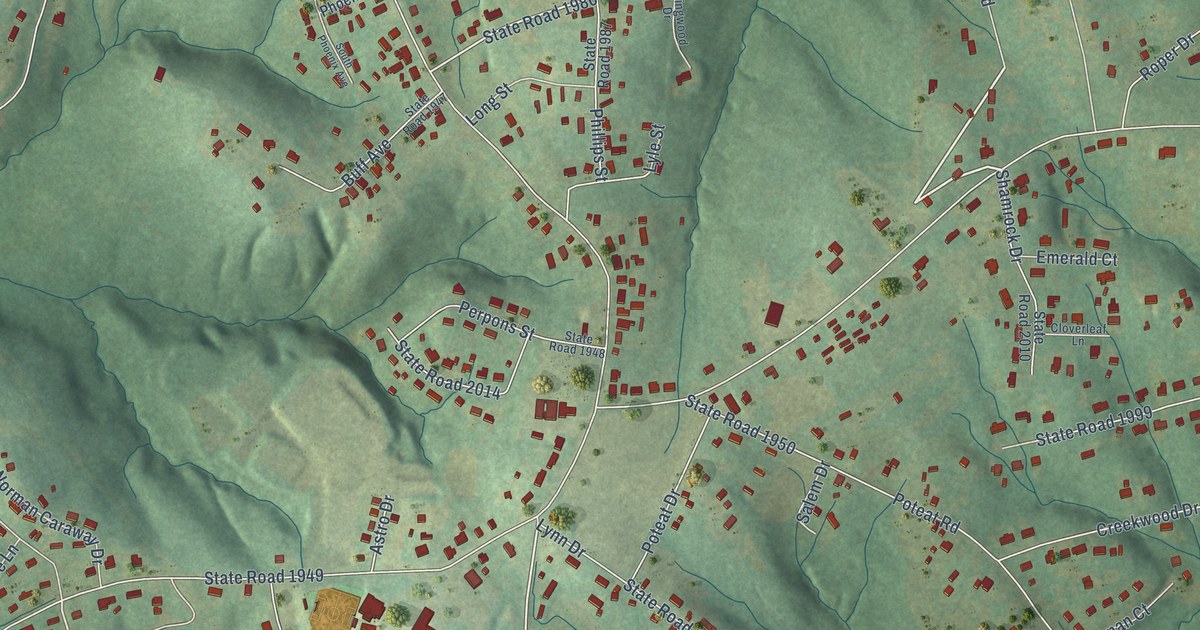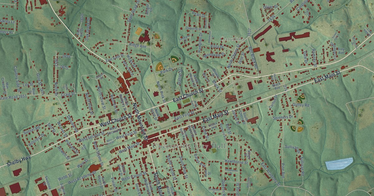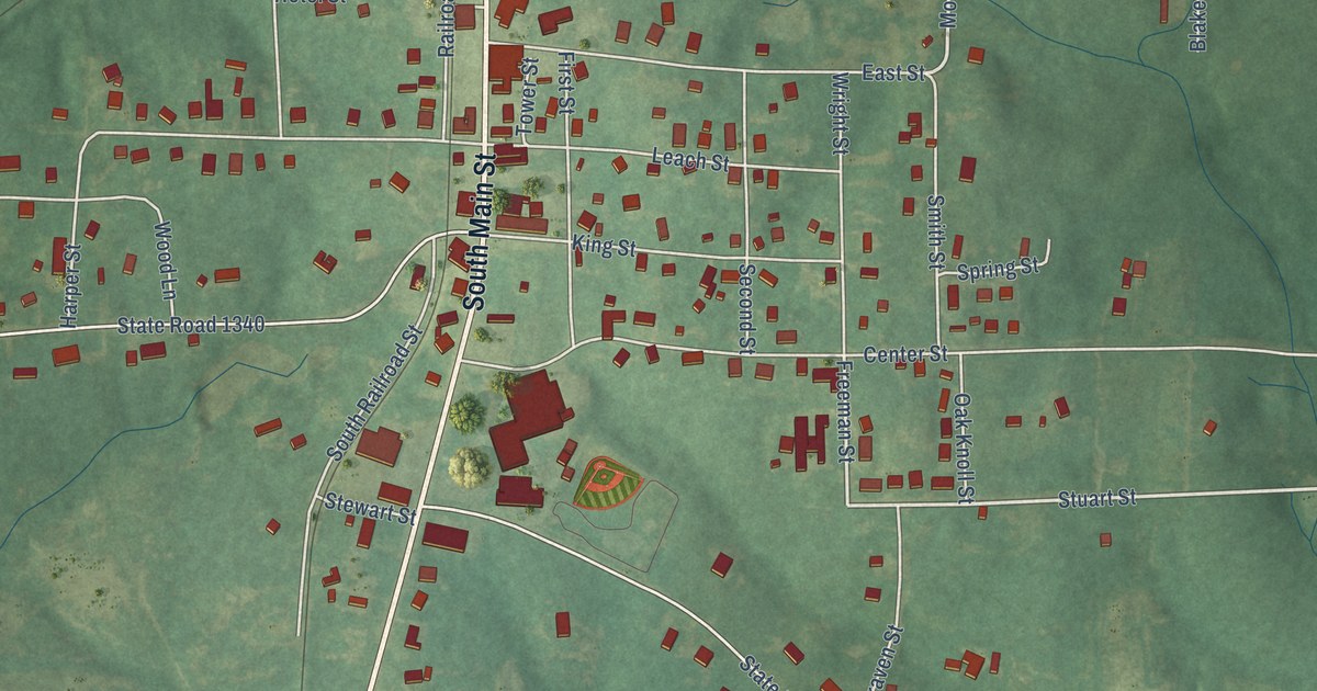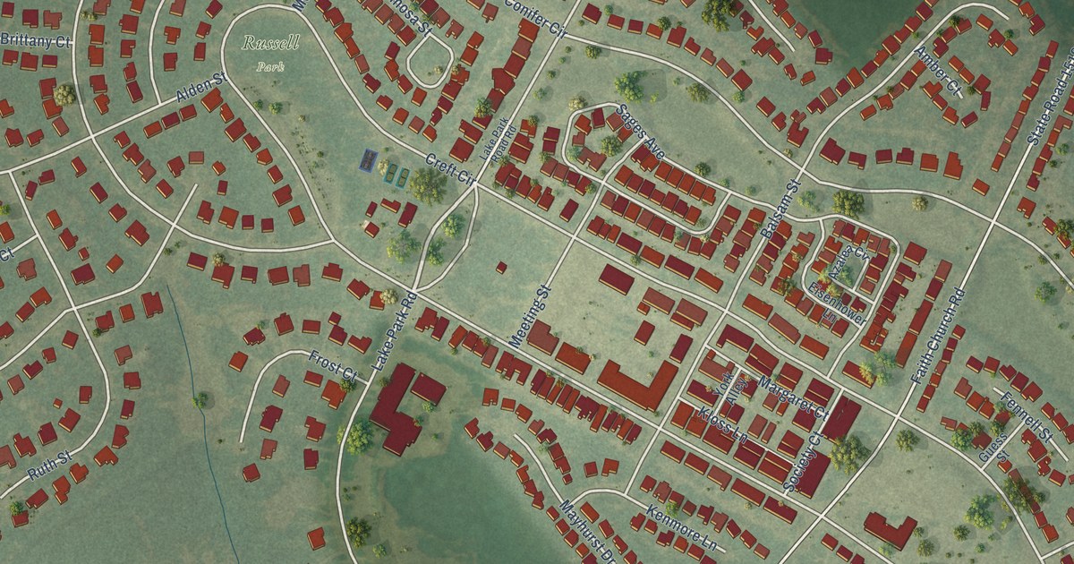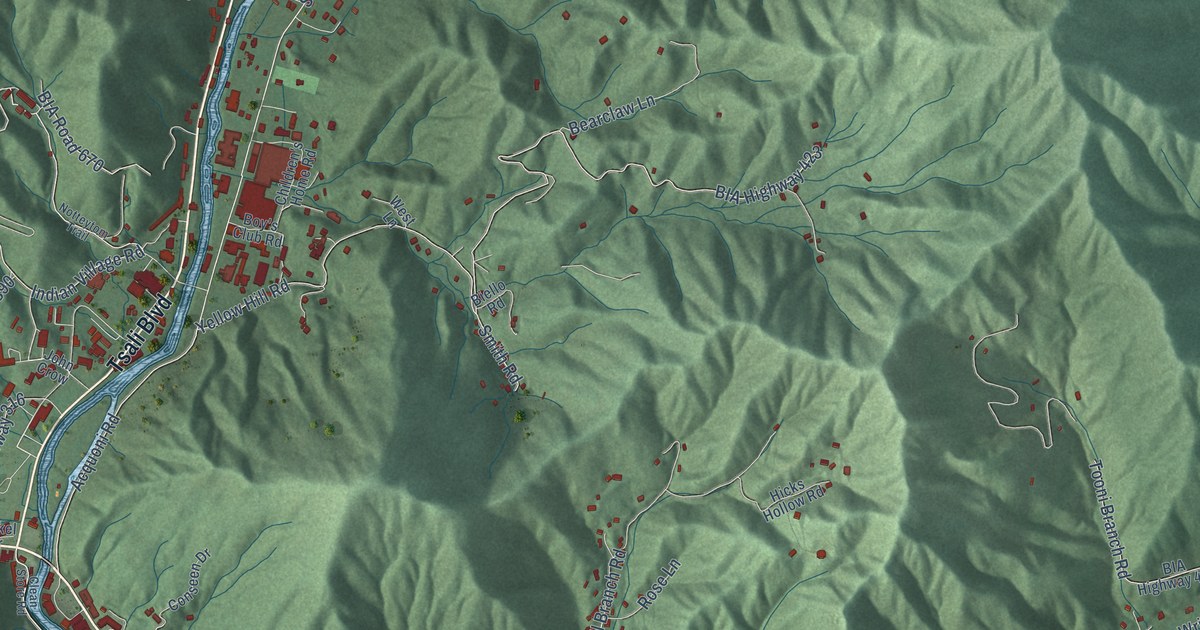
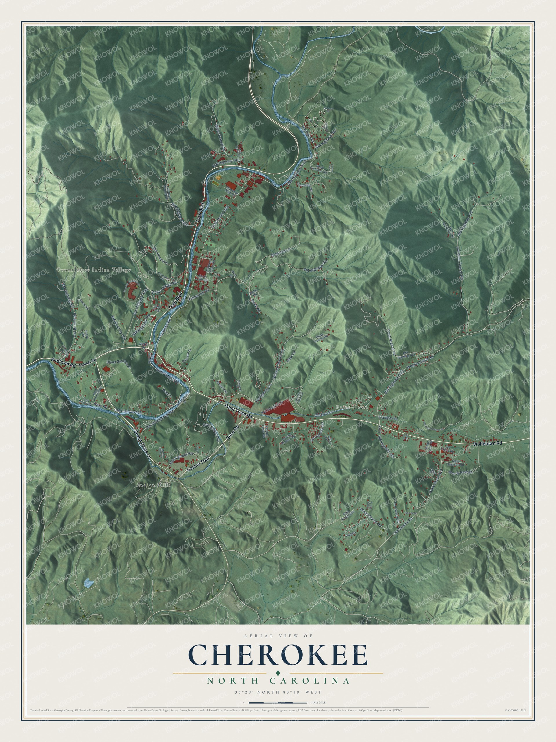
This beautifully detailed map of Cherokee, North Carolina was created in 2026 using aerial imagery combined with modern topographical, census, street and landmark data. It's a modern aerial view of Cherokee in Swain County, North Carolina, that combines modern data with a vintage aesthetic. The roads feature printed names, and if you look closely you can find your exact house accurately shown in its correct location.
Explore an aerial view of Cherokee, North Carolina
On this map you'll find Oconaluftee Indian Village, Paint Town, Indian Hills, Birdtown Road, Casino Trail, Soco Road, Tsali Boulevard, Paint Town Road, Seven Clans Lane, Wolfetown Road, State Road 1368, State Road 1360, and more. Each red shape is a building, so zoom in on the preview and look for yours.
Every town has a first chapter, and Cherokee is no exception. Qualla Arts and Crafts, one of the oldest Native American artisan cooperatives in the country, was organized on August 23, 1946. That day 59 charter members signed its constitution. Many people still spoke Cherokee as their first language, so first president McKinley Ross translated the whole meeting into Cherokee before the vote. That's from the Cherokee One Feather.
Cherokee is a community in Swain County. The Census Bureau counted 2,195 people here in 2020.
Take a closer look at the Cherokee map
Names on this map
These names are printed on this map.
Places: Oconaluftee Indian Village, Paint Town and Indian Hills.
Streets and roads: Birdtown Road, Casino Trail, Soco Road, Tsali Boulevard, Paint Town Road, Seven Clans Lane, Wolfetown Road, State Road 1368, State Road 1360, Yellow Hill Road, BIA Highway 423, Acquoni Road.
More street names, A to Z
Bearclaw Lane, BIA Highway 316, BIA Highway 411, BIA Highway 415, BIA Highway 426, BIA Highway 427, BIA Highway 437, BIA Highway 439, BIA Highway 451, BIA Highway 461, BIA Highway 462, BIA Highway 463, BIA Highway 1390, BIA Highway 1410, BIA Highway 1411, BIA Highway 1413, BIA Road 670, BIA Road 697, BIA Road Hy 319, Biello Road, Big Cove Road, Bingo Loop Road, Bob Seay Road, Boy's Club Road, Boyd Catolster Road, Campbell Lane, Catolester Road, Cherokee Cabins Road, Cherokee High Road, Cherokee Hospital Loop, Children's Home Road, Clean Store Road, Conseen Drive, Crowes Nest Road, Don Lambert Road, Grandview Drive, Harrahs Svc Drive, Hicks Hollow Road, Ike Swimmer Road, Indian Village Road, Iva Lee Drive, Jerome Bradley Road, John Crow, Kanott Drive, Lambert Branch Road, Larch Drive, Lee Taylor Road, Lossiah Drive, Lucy, Mary Jackson Road, Miller Branch Road, Moody Reid Road, Muriel Maney Road, Nickel Drive, Noble Heights, Notteytom Trail, Old Gap Road, Old Mission Road, Old US Highway 441, Oliver Smith's Place, Olivet Church Road, Owl Branch Road, Peco's, Pine Tree Drive, Reginald Thompson Road, Reuben Taylor Road, River Road, Rose Lane, Skilly Loop, Smith Road, Stacy Saunooke Road, State Road 1424, State Road 1427, Stillwell Branch Road, Swimmer Branch Road, Tom George Road, Tom Smith Road, Tooni Branch Road, Tramper Road, Tsalagi Road, Tsali Manor Drive, Tsogesi, Upland Road, West Lane, Whitewater Drive, Wohali Heights, Wrights Creek Road.
See it on a wall
The Cherokee map as a framed print. Swipe for more.


Created by KNOWOL in 2026. The buildings are small red shapes, the roads carry their printed names, and shaded relief shows the shape of the land. The title panel reads "AERIAL VIEW OF CHEROKEE, NORTH CAROLINA" with 35°29' NORTH 83°18' WEST.
Hang it in the hallway, the office or the cabin, or give it to someone who left Cherokee and still calls it home. Open the preview and look for a street you know. See sizes and frames for the Cherokee map.