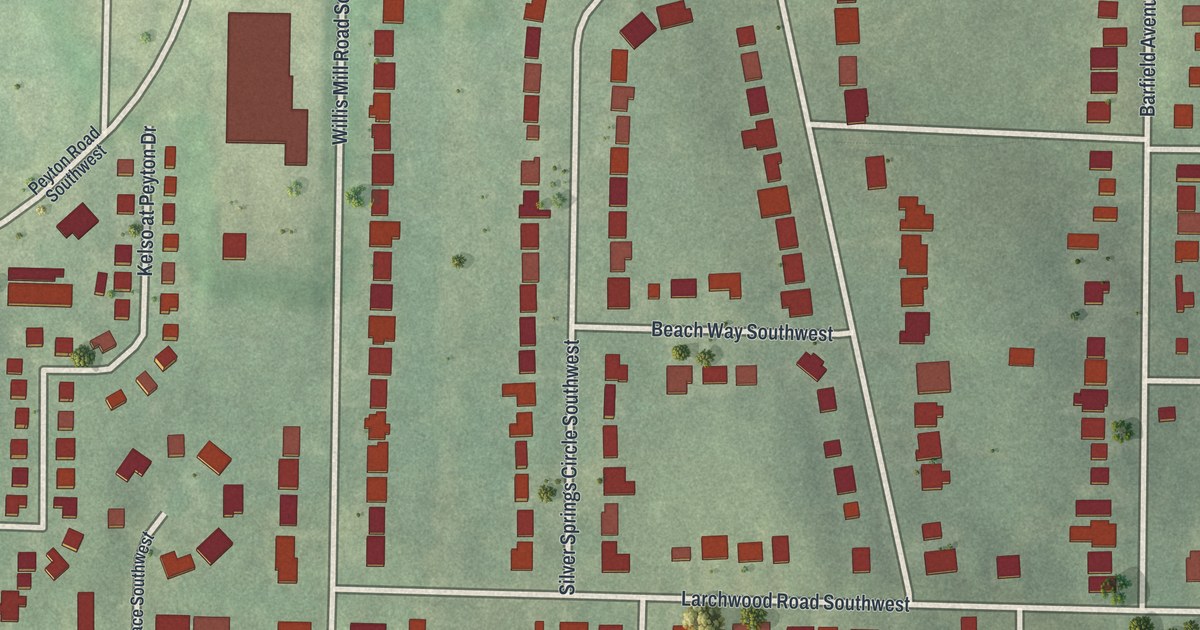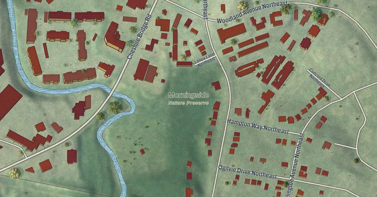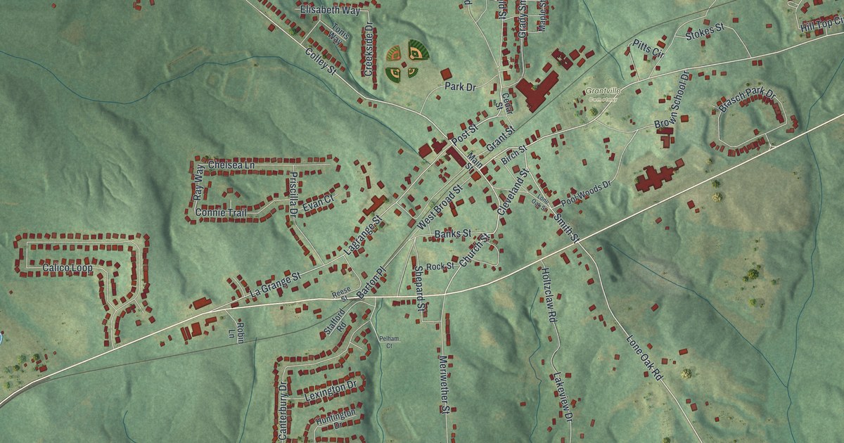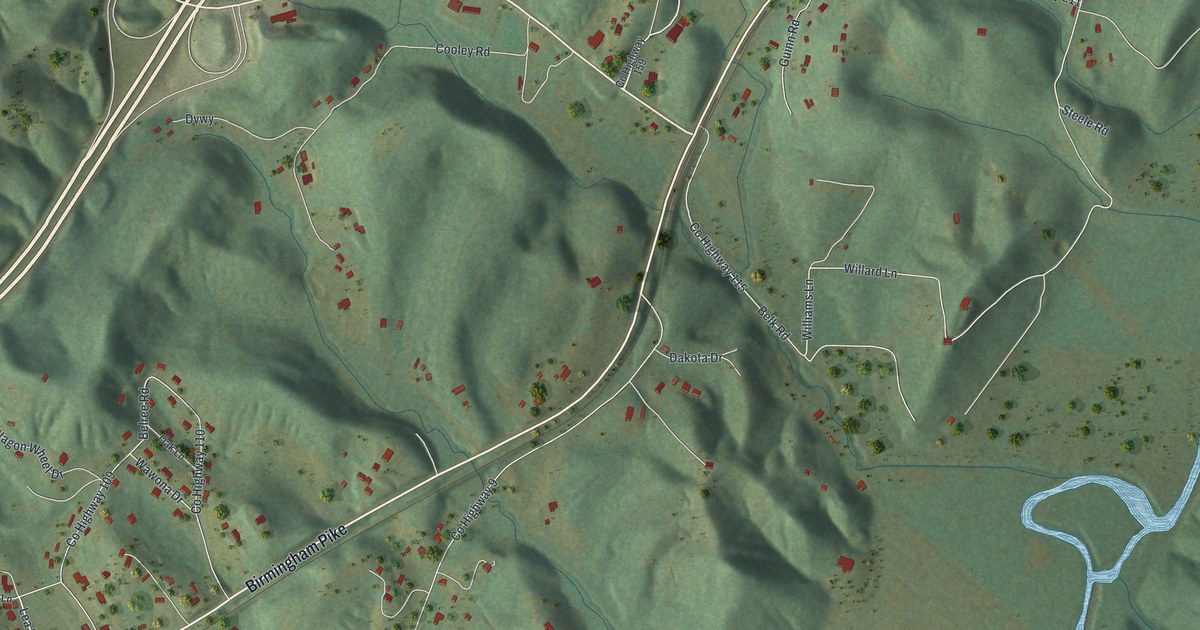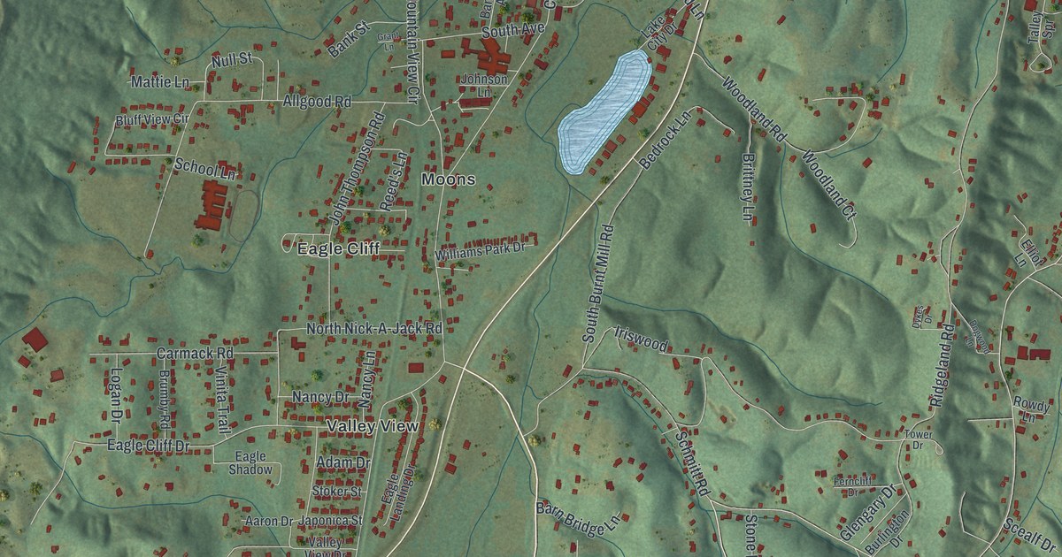
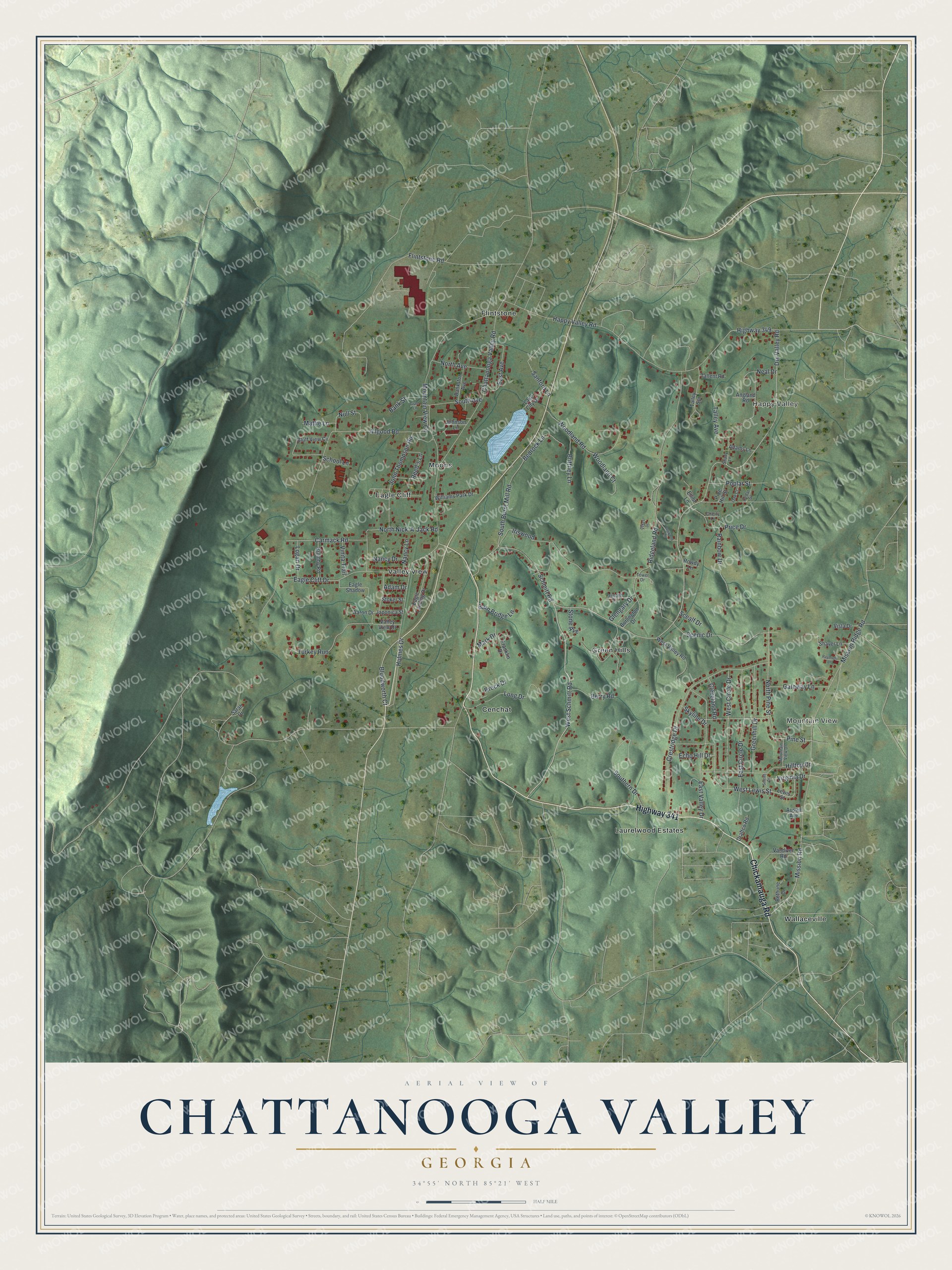
This beautifully detailed map of Chattanooga Valley, Georgia was created in 2026 using aerial imagery combined with modern topographical, census, street and landmark data. It's a modern aerial view of Chattanooga Valley in Walker County, Georgia, that combines modern data with a vintage aesthetic. The roads feature printed names, and if you look closely you can find your exact house accurately shown in its correct location.
Explore an aerial view of Chattanooga Valley, Georgia
On this map you'll find Mountain View, Happy Valley, Cenchat, Moons, Wallaceville, Flintstone, Valley View, Green Hills, Laurelwood Estates, Eagle Cliff, Highway 341, Chickamauga Road, and more. Each red shape is a building, so zoom in on the preview and look for yours.
Chattanooga Valley has a story worth telling. The Chattanooga Valley district of northwest Walker County shares its name with Chattanooga Creek, which flows north along the east side of Lookout Mountain into Tennessee. The name comes from a Muskogean word meaning rock coming to a point, probably for Lookout Mountain. That's from the book Georgia Place-Names by Kenneth Krakow.
Chattanooga Valley is a community in Walker County. The Census Bureau counted 3,962 people here in 2020.
Take a closer look at the Chattanooga Valley map
Names on this map
These names are printed on this map.
Places: Mountain View, Happy Valley, Cenchat, Moons, Wallaceville, Flintstone, Valley View, Green Hills, Laurelwood Estates and Eagle Cliff.
Streets and roads: Highway 341, Chickamauga Road, Bloodworth Court, Pine Street, West Schmitt Road, Dry Valley Road, Mission Road, Null Street, Chattanooga Valley Road, Ridgeland Road, Mission Ridge Road, Happy Valley Road.
More street names, A to Z
Aaron Drive, Adam Drive, Adams Lane, Allgood Road, Angland Road, Austin Avenue, Bankston Avenue, Bank Street, Barn Bridge Lane, Bedrock Lane, Berry Road, Bethune Drive, Bluff View Circle, Brittney Lane, Brock Drive, Brumby Road, Burlington Drive, Carmack Road, Cedar Street, Cherry Lane, Cleveland Road, Crestridge Drive, Dogwood Lane, Draftco Road, Dykes Drive, Eagle Cliff Drive, Eagle Landing Drive, Eagle Shadow, East Avenue, East Circle Drive, East Valley Drive, Echo Hill Drive, Elliot Lane, Ferncliff Drive, Flintstone Road, Franklin Drive, Gateway Lane, Glengary Drive, Grant Lane, Greenhill Drive, Highway 349, Hilltop Drive, Holmes Drive, Iriswood, Japonica Street, Johnson Lane, John Thompson Road, Lake City Drive, Lewis Street, Logan Drive, Long Drive, Mark Drive, Mattie Lane, Mountain View Circle, Mountain View Drive, Nancy Drive, Nancy Lane, Neal Drive, North Avenue, North Nick-A-Jack Road, North Pine Street, Oak Court, Pine Hill Street, Poplar Street, Price Drive, Rainbow Drive, Raymond Lane, Reed's Lane, Rowdy Lane, Sanford Lane, Sarah Drive, Scealf Drive, Scenic Drive, Schmitt Road, School Lane, Shady Lane, Shaver Lane, Skyline Drive, South Avenue, South Burnt Mill Road, Southern Drive, Stoker Street, Stone Avenue, Sunset Drive, Tallent Road, Talley Avenue, Talley Spr, Tower Drive, Turkey Run, Valley View Drive, Vandiver Road, Vinita Trail, Virginia Drive, Vista Drive, West Circle Drive, West Lewis Street, West Valley Road, Williams Park Drive, Woodland Court, Woodland Road.
See it on a wall
The Chattanooga Valley map as a framed print. Swipe for more.


Created by KNOWOL in 2026. The buildings are small red shapes, the roads carry their printed names, and shaded relief shows the shape of the land. The title panel reads "AERIAL VIEW OF CHATTANOOGA VALLEY, GEORGIA" with 34°55' NORTH 85°21' WEST.
It looks right in a kitchen, an office or a den, and it's a gift for anyone who grew up in Chattanooga Valley or moved away. Open the preview and find your street. See sizes and frames for the Chattanooga Valley map.