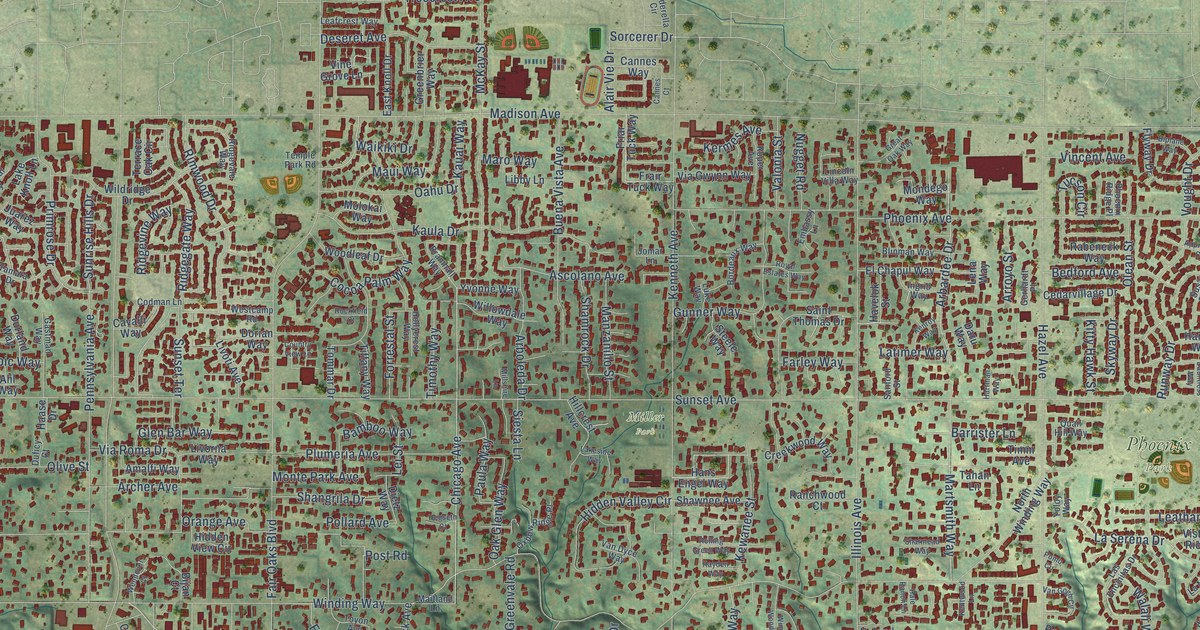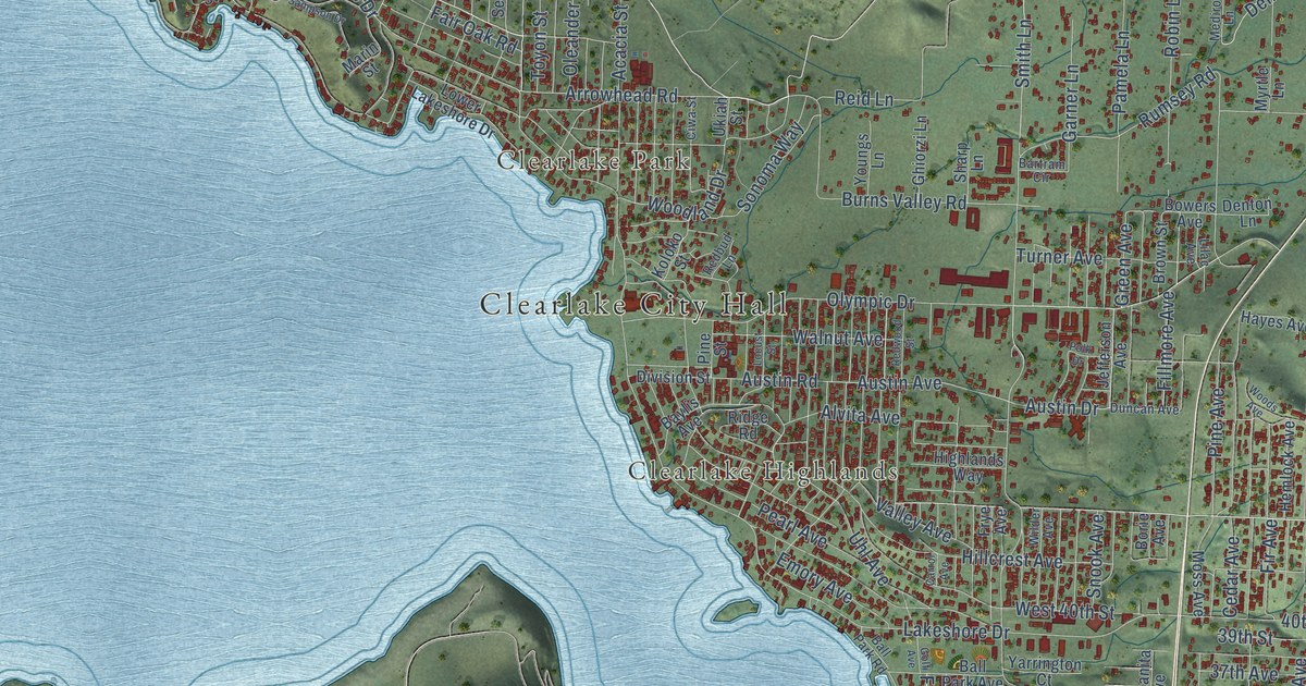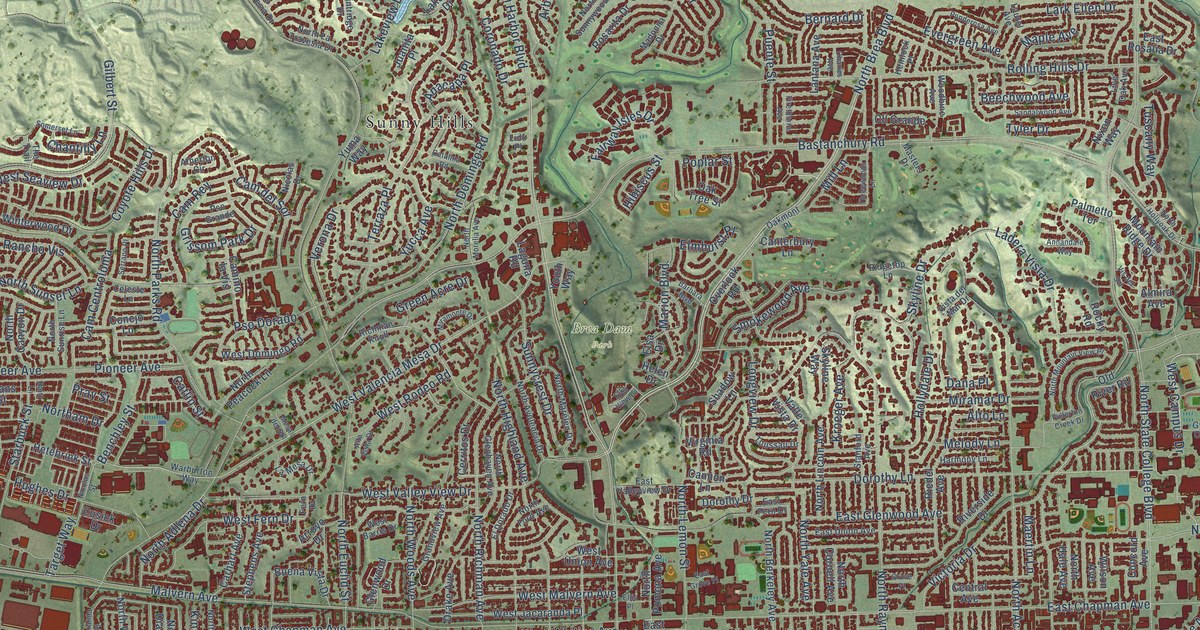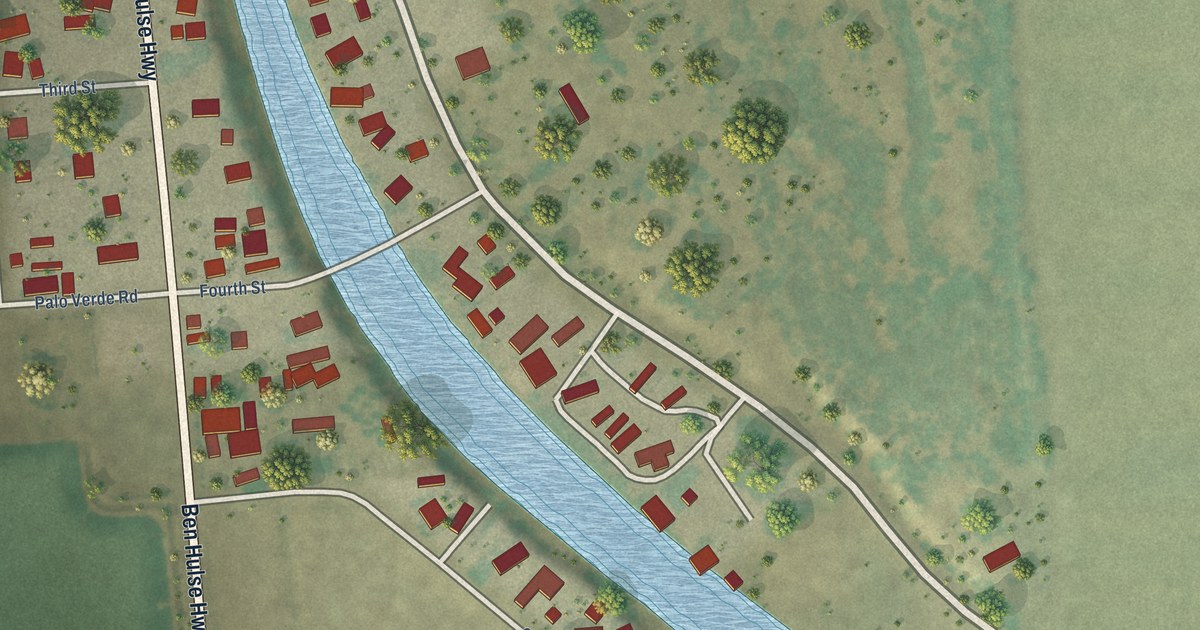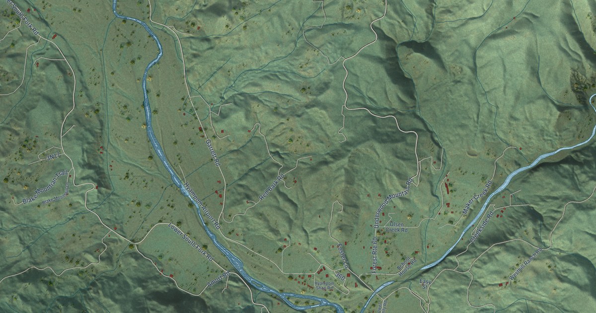
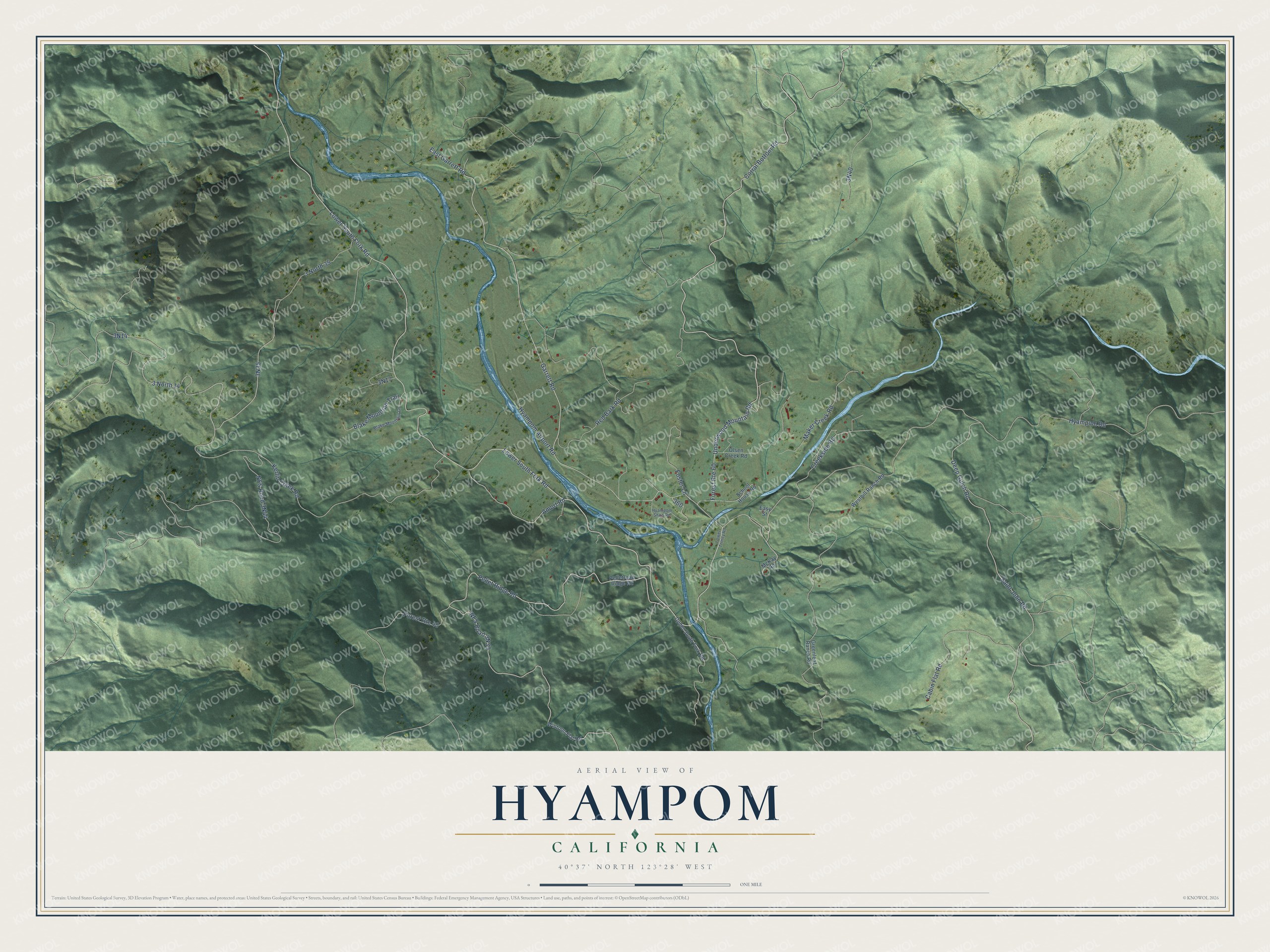
This beautifully detailed map of Hyampom, California was created in 2026 using aerial imagery combined with modern topographical, census, street and landmark data. It's a modern aerial view of Hyampom in Trinity County, California, that combines modern data with a vintage aesthetic. The roads feature printed names, and if you look closely you can find your exact house accurately shown in its correct location.
Explore an aerial view of Hyampom, California
On this map you'll find Lower South Fork Road, Hyampom Road, 3 North 14, 3N35, East Garrett Road, Amort Road, Corral Bottom Road, Garrett Road, Underwood Mountain Road, Pellet Ridge Road, NFS Road 3N44, Kerlin Creek Road, and more. Each red shape is a building, so zoom in on the preview and look for yours.
Here is a piece of Hyampom history. The name Hyampom is believed to come from the Wintu word xayiin-pom, meaning slippery place. In August 1895 the valley raised money for a new schoolhouse with a riding tournament and a dance at Olsen's Hall that went on until broad daylight. Robert McKay won the tournament prize, a thirty dollar saddle, and by that November a new schoolhouse was going up on a pretty site. That's from the Trinity County Office of Education.
Hyampom is a community in Trinity County. The Census Bureau counted 241 people here in 2020.
Take a closer look at the Hyampom map
Names on this map
These names are printed on this map.
Streets and roads: Lower South Fork Road, Hyampom Road, 3 North 14, East Garrett Road, Amort Road, Corral Bottom Road, Garrett Road, Forest Route 60, Underwood Mountain Road, Pellet Ridge Road, Forest Route 40, Kerlin Creek Road.
More street names, A to Z
3 North 35, Blake Mountain Lane, Blake Mountian Trail, Cabin Flat Road, Creekside Road, Deep Gulch Road, Easy Street, Foster Lane, Greenleaf Ranch Road, Hyampom Airport Road, Hyampom Shop Road, Lower Trinity Road, Maker Creek Road, McKay Road, Olsen Creek Road, Pelletreau Ridge Road, Red Bark Road, Saint John Road, School House Road, Upper South Fork Road, Westhill Ranch Road, Wintoon Flat Road.
See it on a wall
The Hyampom map as a framed print. Swipe for more.


Created by KNOWOL in 2026. The buildings are small red shapes, the roads carry their printed names, and shaded relief shows the shape of the land. The title panel reads "AERIAL VIEW OF HYAMPOM, CALIFORNIA" with 40°37' NORTH 123°28' WEST.
It suits a den, a classroom or a front hall, and it makes a gift for anyone with Hyampom roots. Open the preview and find the block you know. See sizes and frames for the Hyampom map.