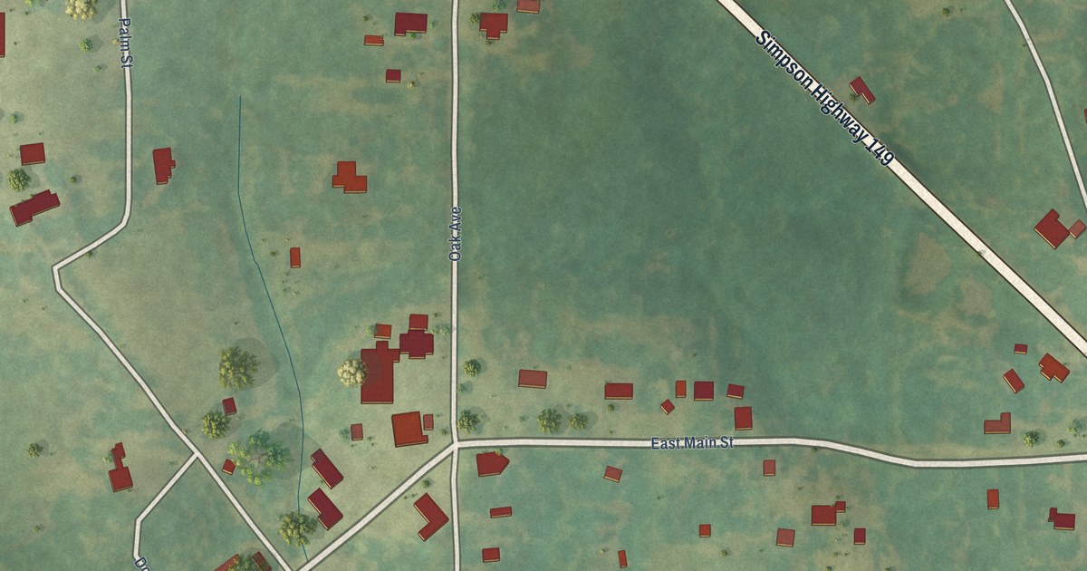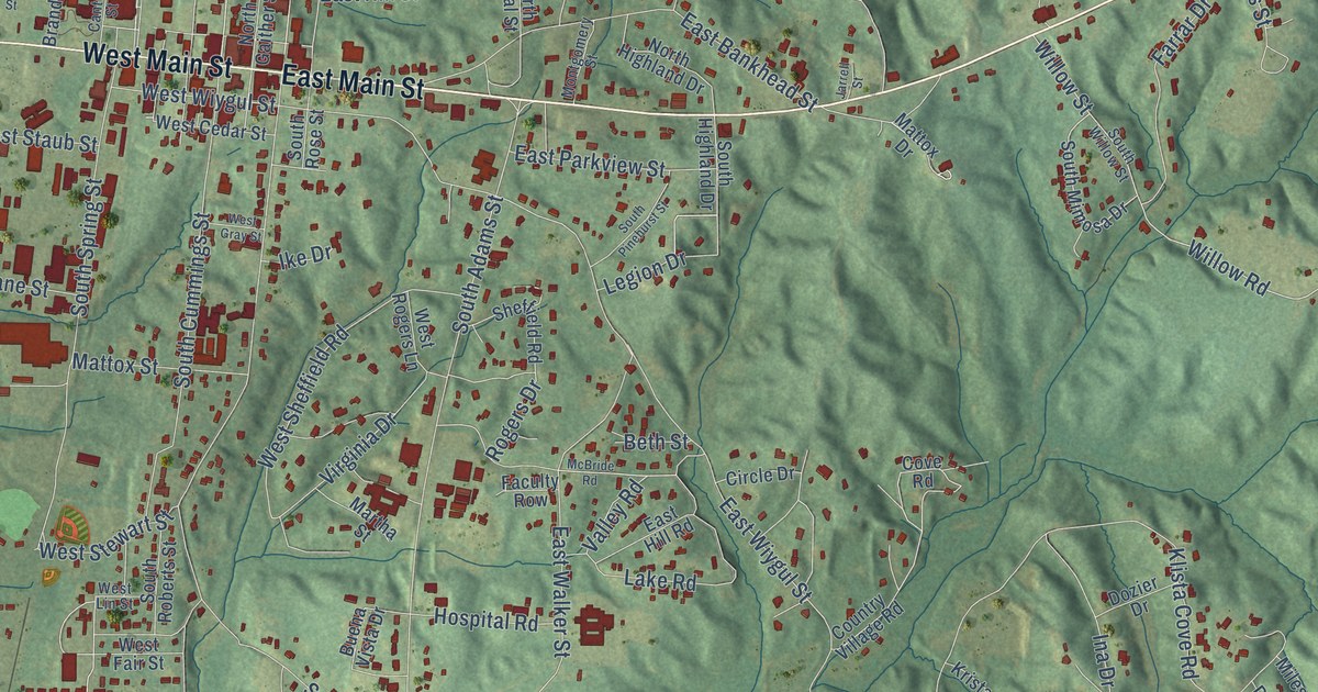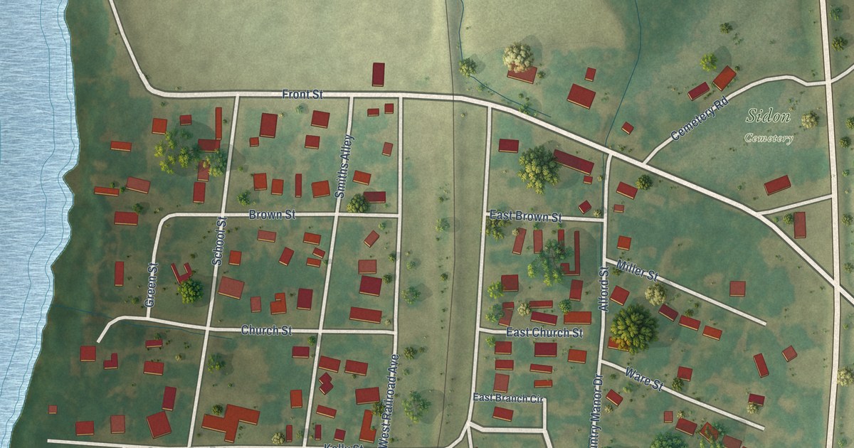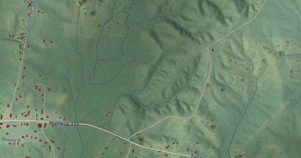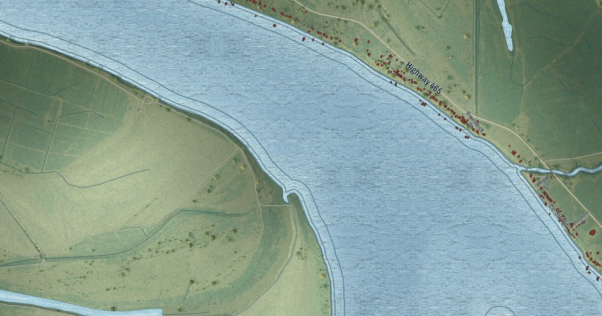
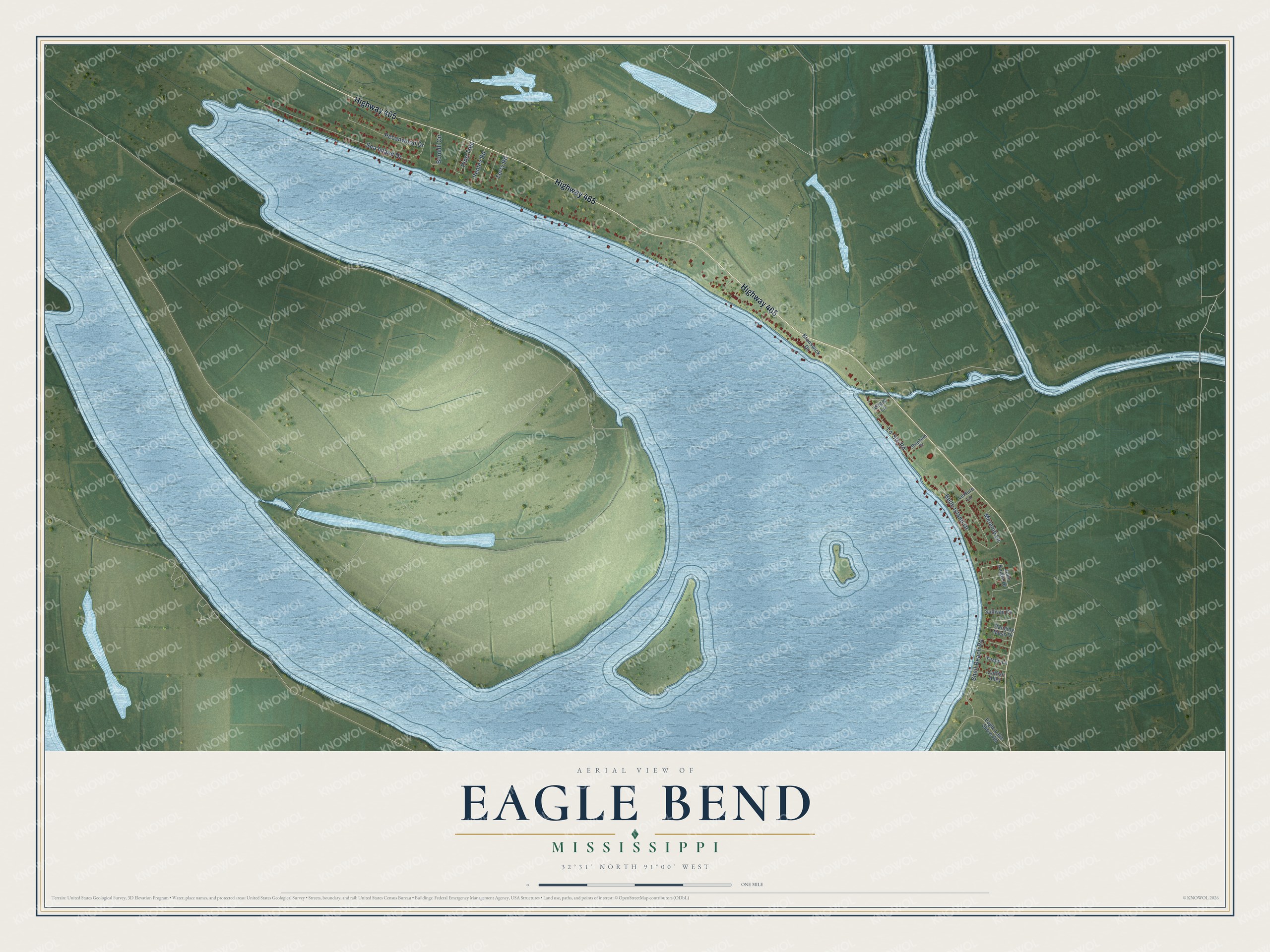
This beautifully detailed map of Eagle Bend, Mississippi was created in 2026 using aerial imagery combined with modern topographical, census, street and landmark data. It's a modern aerial view of Eagle Bend in Warren County, Mississippi, that combines modern data with a vintage aesthetic. The roads feature printed names, and if you look closely you can find your exact house accurately shown in its correct location.
Explore an aerial view of Eagle Bend, Mississippi
On this map you'll find Highway 465, Shell Beach Road, Belle Island Drive, Sea Island Drive, Lo-Sto Road, Melanie Lane, Pecanwood Drive, Bonelli Circle, Pine Tree, Penley Road, Terry Road, John Knight Drive, and more. Each red shape is a building, so zoom in on the preview and look for yours.
Eagle Bend has a story worth telling. When Army engineers mapped the Eagle Bend area of the Mississippi River in 1821, bald eagles nested in the giant cypress trees there. On March 7, 1866, the river finally cut across Terrapin Neck, by then only about 30 feet wide, and the old bend silted up at both ends to become Eagle Lake. Captain Samuel Cumings had predicted the cutoff in the 1829 edition of The Western Pilot, and in 1863 Admiral David D. Porter sent Union soldiers and sailors to try to cut it. That's from the Mississippi River Commission.
Eagle Bend is a community in Warren County. The Census Bureau counted 296 people here in 2020.
Take a closer look at the Eagle Bend map
Names on this map
These names are printed on this map.
Streets and roads: Highway 465, Shell Beach Road, Belle Island Drive, Sea Island Drive, Lo-Sto Road, Melanie Lane, Pecanwood Drive, Bonelli Circle, Pine Tree, Penley Road, Terry Road, John Knight Drive.
More street names, A to Z
Brunswick Drive, Catfish Alley, Eagle Lake Shore Road, Hanging Moss Drive, Leisure Lane, Shepherd Drive, Sullivan Cv, Virgie Lane, Yazoo Lane.
See it on a wall
The Eagle Bend map as a framed print. Swipe for more.


Created by KNOWOL in 2026. The buildings are small red shapes, the roads carry their printed names, and shaded relief shows the shape of the land. The title panel reads "AERIAL VIEW OF EAGLE BEND, MISSISSIPPI" with 32°31' NORTH 91°00' WEST.
It looks right in a kitchen, an office or a den, and it's a gift for anyone who grew up in Eagle Bend or moved away. Open the preview and find your street. See sizes and frames for the Eagle Bend map.