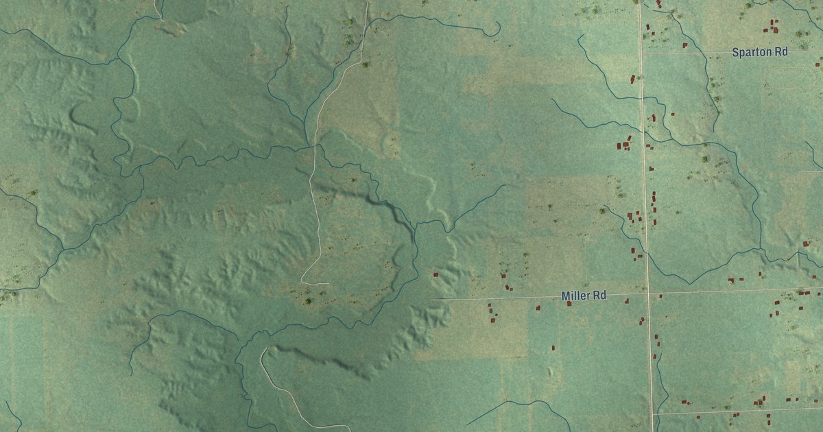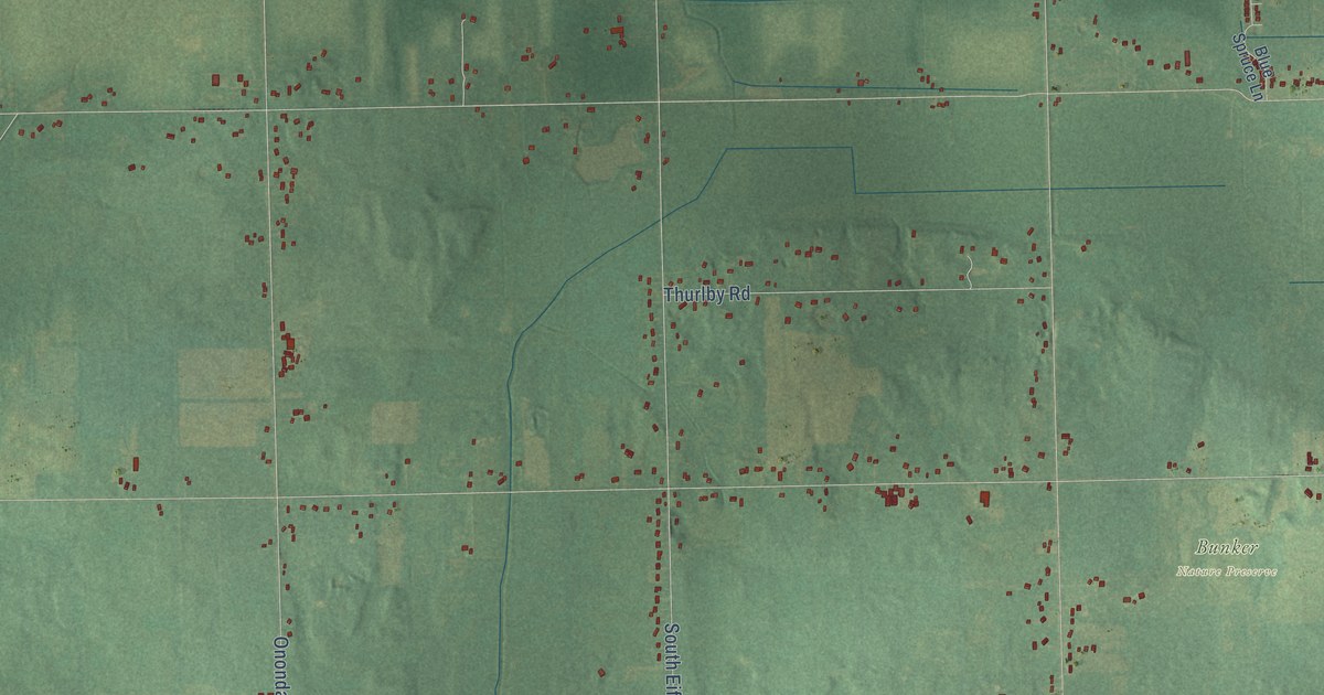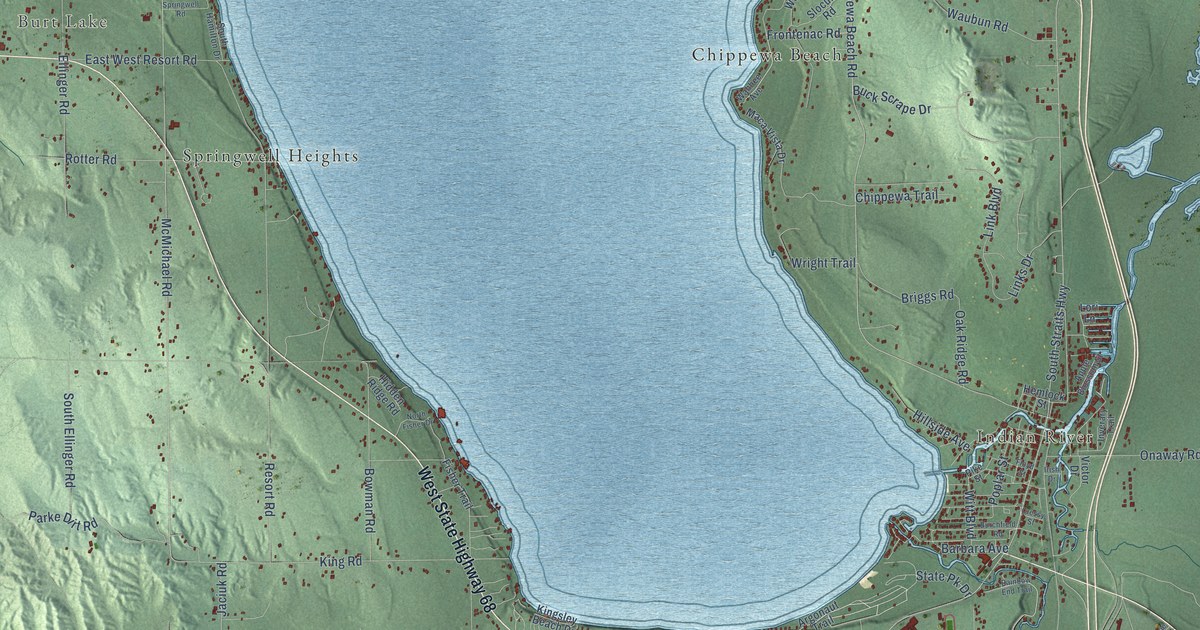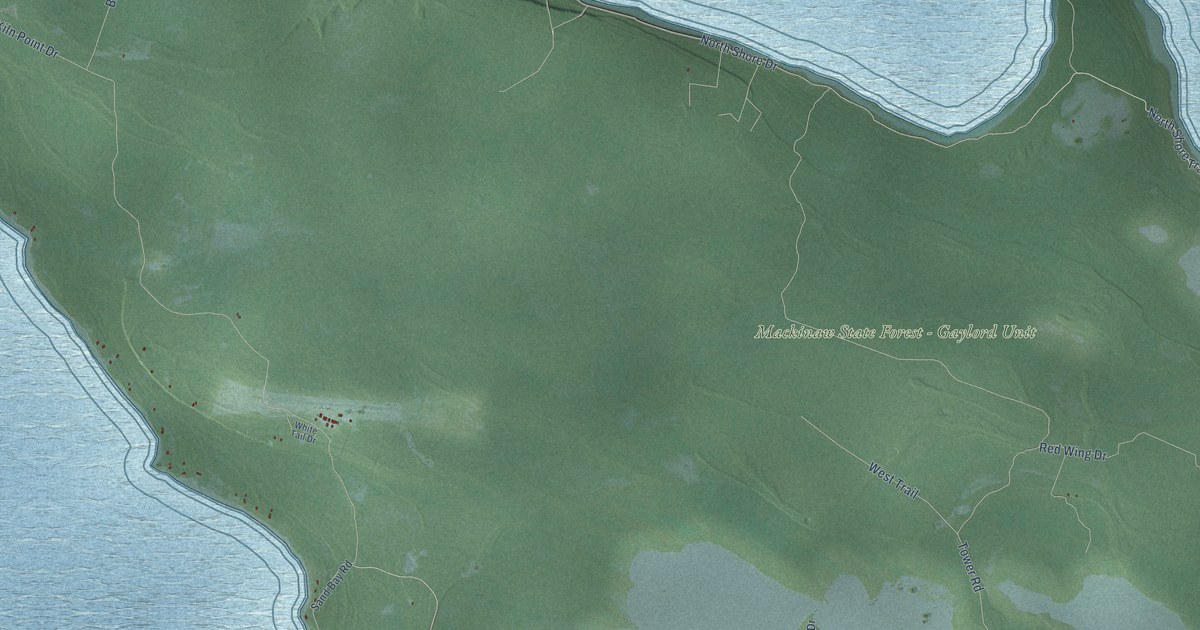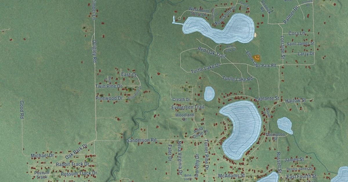
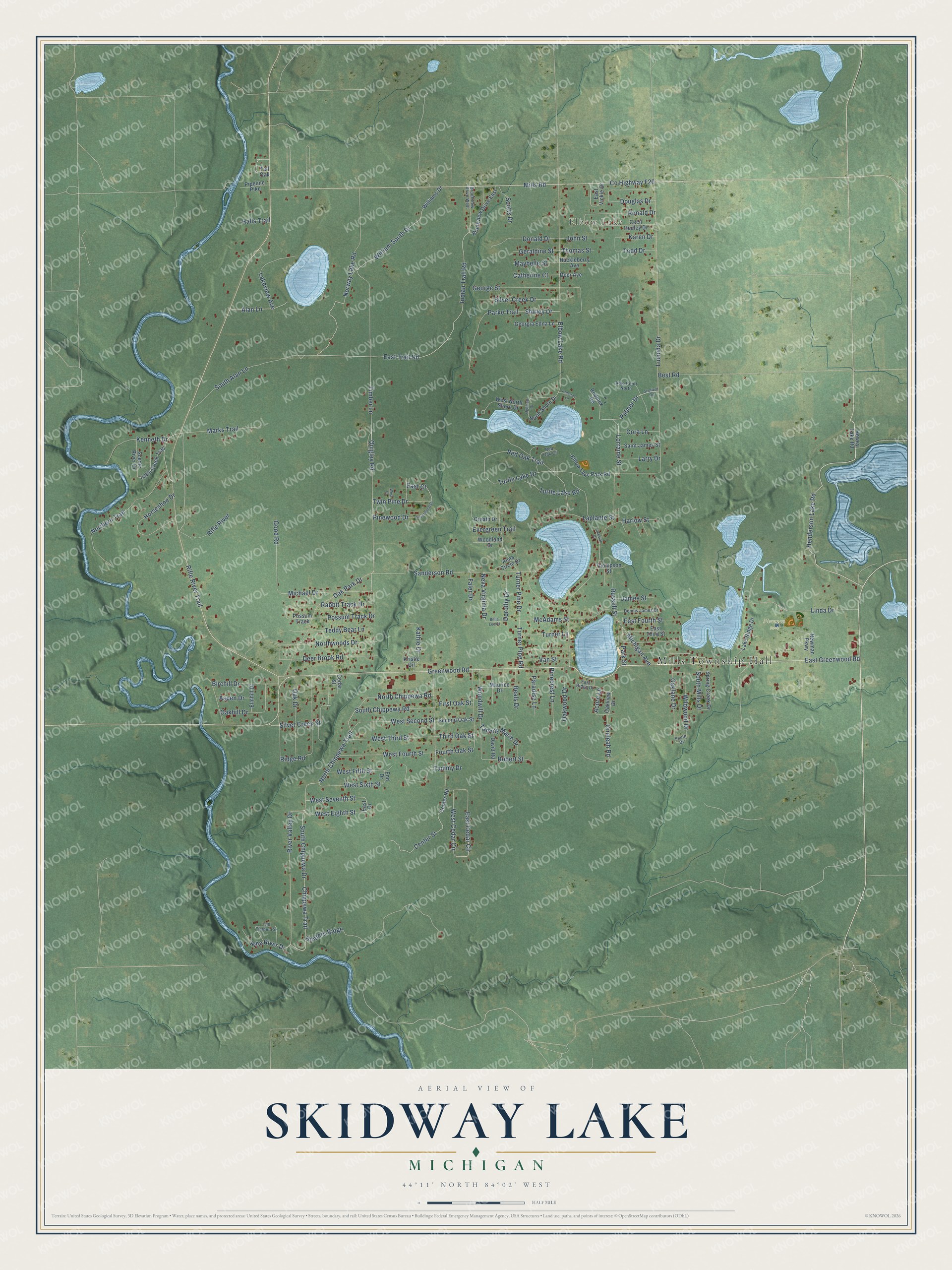
This beautifully detailed map of Skidway Lake, Michigan was created in 2026 using aerial imagery combined with modern topographical, census, street and landmark data. It's a modern aerial view of Skidway Lake in Ogemaw County, Michigan, that combines modern data with a vintage aesthetic. The roads feature printed names, and if you look closely you can find your exact house accurately shown in its correct location.
Explore an aerial view of Skidway Lake, Michigan
On this map you'll find Mills Township Hall, Elbow Lake, Newman Park, Henderson Lake Road, Greenwood Road, East Trail Road, East Greenwood Road, North Chippewa Trail, Quigley Road, West Eighth Street, Co Highway F20, Elbow Lake Road, and more. Each red shape is a building, so zoom in on the preview and look for yours.
Skidway Lake is a community in Ogemaw County. The Census Bureau counted 3,082 people here in 2020. Skidway Lake sits about 5 miles west of Prescott, 11 miles southeast of West Branch and 12 miles west of Whittemore. The map prints the town name in its title panel, with the coordinates below it.
Take a closer look at the Skidway Lake map
Names on this map
These names are printed on this map.
Places: Mills Township Hall, Elbow Lake and Newman Park.
Streets and roads: Henderson Lake Road, Greenwood Road, East Trail Road, East Greenwood Road, North Chippewa Trail, Quigley Road, West Eighth Street, County Highway F20, Elbow Lake Road, Indian Trail Road, Lorraine Street, Palmer Drive.
More street names, A to Z
Acorn Lane, Adio Court North, Alan Lane, Anna Circle Drive, Aspen Drive, Beals Drive, Best Road, Billie Lee Court, Birchill Drive, Brookview Drive East, Brookview Drive West, Catherine Court, Cecil Hedley Drive, Cedar Street, Center Road, Center Street, Chippewa Trail, Cora Lane, Creath Drive, David Road, Deer Avenue, Deer Brook Road, Dennis James Drive, Donald Drive, Dorothy Drive, Douglas Drive, East Cedar Circle, East Court, East Drive, East Fourth Street, East Ridge Drive, East Third Street, East Vickie Drive, Elbow Lake Park Road, Elmhill Drive, End Drive, Evergreen Trail, Faler Drive, First Oak Street, Fourth Oak Street, George Street, Georgia Edna Lane, Geraldine Street, Good Road, Halls Trail, Harlow Street, Hewey Lake Road, Horseshoe Drive, Huckleberry Avenue, Hunters Ridge, James Street, John Street, Karen Drive, Kathie Drive, Kenneth Drive, Kristie Circle, Lake Ridge Drive, Lakeside Drive, Lakeview Avenue, Laplante Street, Larry Drive, Linda Drive, Little Creek Trail, Lucinda Drive, Marks Trail, Maurice Drive, Maybelle Street, McAdams Street, Michael Drive, Michigan Avenue, Mills Road, Neva Virginia Drive, Newman Parkway, North Chippewa Road, Northern Trail, North Shore Drive, Northwoods Drive, Norway Lake Road, Oak Drive, Oakhill Drive, Oaklane Drive, Oak Park Drive, Oakview Drive, Oakwood Drive, Ogemaw Drive, Onaleah Road, Paradise Lane, Parke Trail, Park Street, Pinecrest Lane, Pinewood Drive, Pipeline Pike, Possum Track, Possum Track Drive, Rabbit Track Drive, Red Oak Court, Red Oak Trail, Ridge Road, Rifle River, Rifle River Drive, Rifle River Trail, River Valley Drive, Robert Street, Rodnick Road, Ronald Drive, Russell Street, Saint James Street, Sanderson Road, Scenic River Drive, Scofield Road, Scotts Drive, Second Oak Street, Shirley Drive, Silver Creek Drive, Silver Creek Street, Silverwood Drive, South Alan Lane, South Chippewa Drive, South Chippewa Road, South Drive, South Mills Drive, Spring Creek Drive, Tall Oak, Tall Timber Circle, Tamarac Lane, Tammy Drive, Tammy Marie Drive, Teddy Bear Lane, Third Oak Street, Thomas Street, Thompson Street, Timber Lane, Todd Drive, Turner Lane, Turner Pine Drive, Turner Pine Road, Turtle Lake Drive, Turtle Lake Road, Twin Pine Drive, Van Street, West Cedar Circle, West Court, West Fifth Street, West Fourth Street, West North Shore Drive, West Second Street, West Seventh Street, West Sixth Street, West Third Street, Wildwood Drive, Williams Drive, William South Drive, Woodland Drive, Woodwill Drive.
See it on a wall
The Skidway Lake map as a framed print. Swipe for more.


Created by KNOWOL in 2026. The buildings are small red shapes, the roads carry their printed names, and shaded relief shows the shape of the land. The title panel reads "AERIAL VIEW OF SKIDWAY LAKE, MICHIGAN" with 44°11' NORTH 84°02' WEST.
It suits a den, a classroom or a front hall, and it makes a gift for anyone with Skidway Lake roots. Open the preview and find the block you know. See sizes and frames for the Skidway Lake map.