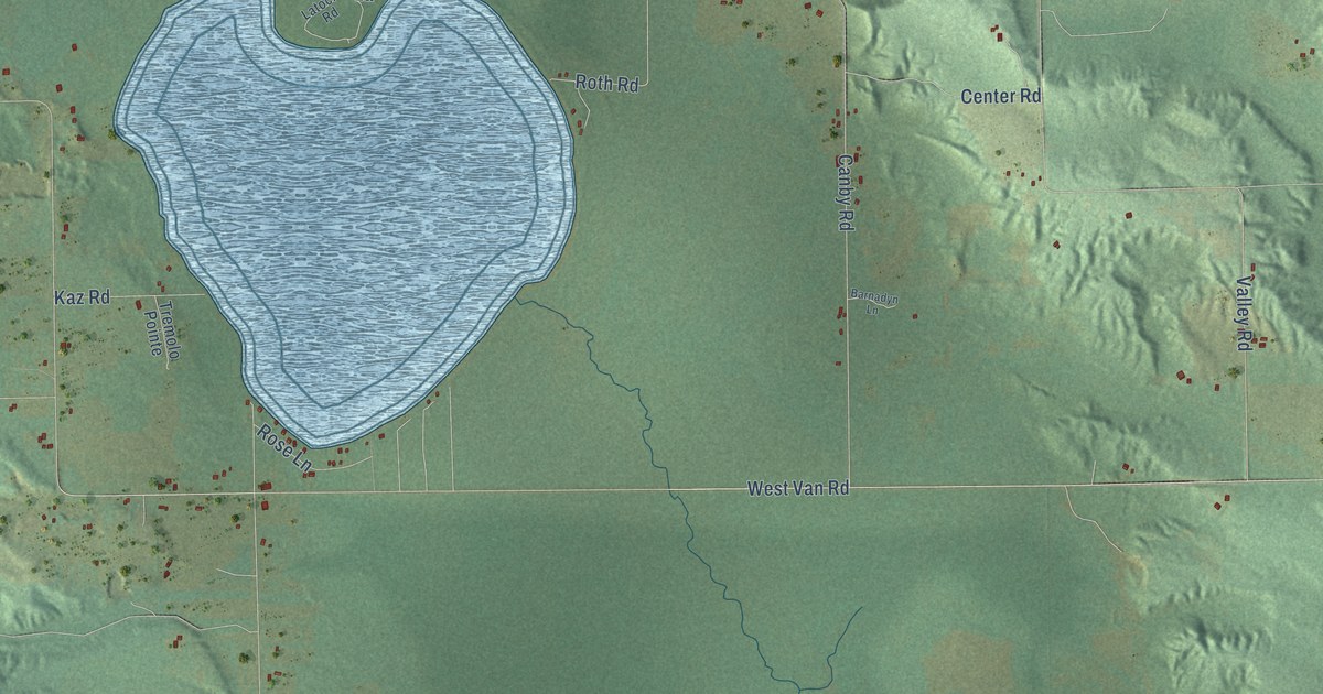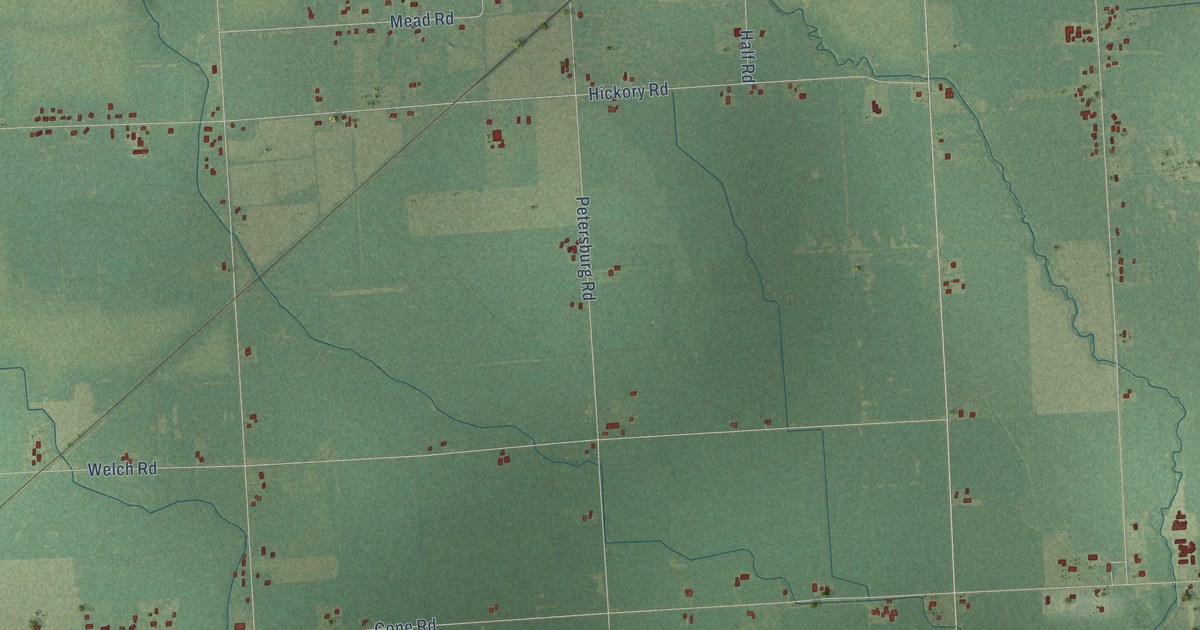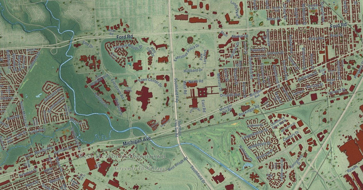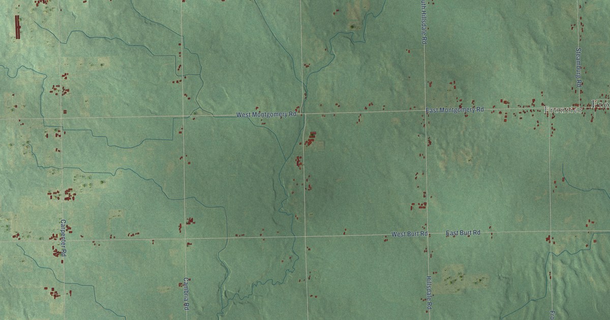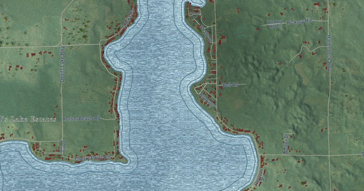
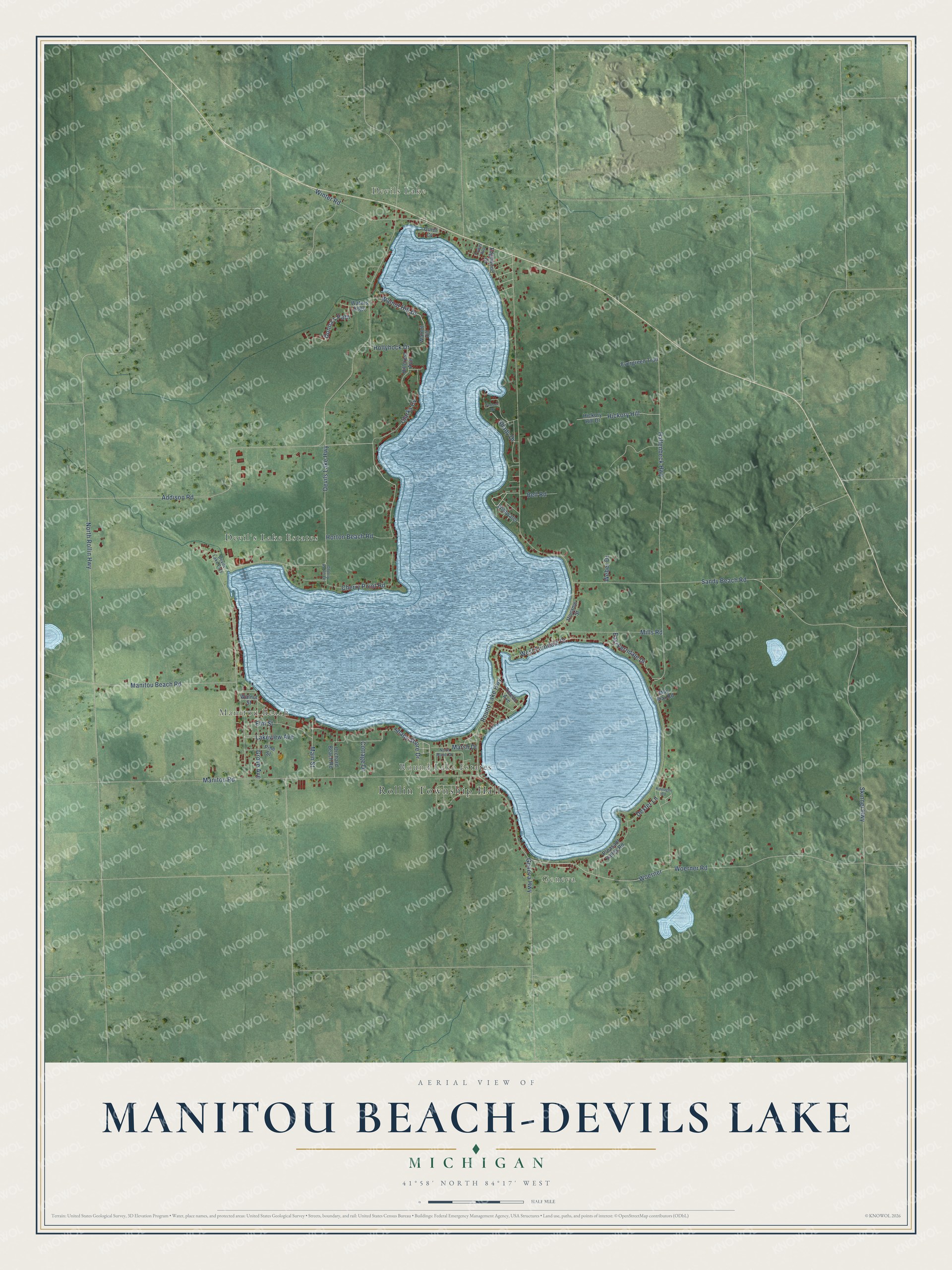
This beautifully detailed map of Manitou Beach-Devils Lake, Michigan was created in 2026 using aerial imagery combined with modern topographical, census, street and landmark data. It's a modern aerial view of Manitou Beach-Devils Lake in Lenawee County, Michigan, that combines modern data with a vintage aesthetic. The roads feature printed names, and if you look closely you can find your exact house accurately shown in its correct location.
Explore an aerial view of Manitou Beach-Devils Lake, Michigan
On this map you'll find Rollin Township Hall, Geneva, Devils Lake, Round Lake Estates, Manitou Beach, Devil's Lake Estates, Clarks Cv, Woerner Road, North Rollin Highway, Woerner, Winter Road, Cottage Drive, and more. Each red shape is a building, so zoom in on the preview and look for yours.
Every town has a first chapter, and Manitou Beach-Devils Lake is no exception. Devil's Lake was first known as Lake Manitou, as Native people called it, until white settlers renamed it. In 1826 General Brown's exploring party, heading home to Tecumseh, stopped for the night between Round Lake and Devil's Lake, where they found only open water. Riding by again in September 1877, he found some fifty pleasure boats, picnic tables for five hundred people and a ballroom. That's from the 1879 History of Lenawee County.
Manitou Beach-Devils Lake is a community in Lenawee County. The Census Bureau counted 2,032 people here in 2020.
Take a closer look at the Manitou Beach-Devils Lake map
Names on this map
These names are printed on this map.
Places: Rollin Township Hall, Geneva, Devils Lake, Round Lake Estates, Manitou Beach and Devil's Lake Estates.
Streets and roads: Clarks Cv, Woerner Road, North Rollin Highway, Woerner, Winter Road, Cottage Drive, Walnut Hill Drive, Donna's Path, Devils Lake Highway, Round Lake Highway, Hallenbeck Highway, Manitou Road.
More street names, A to Z
Addison Road, Bell Road, Cherry Point Drive, Cherry Point Road, Devils Lake Ests, Dexter Lane, East Ferndale Drive, Edgewood Court, Elm Street, Evergreen Trail, Geneva Highway, Grove Avenue, Hickory Hill, Hickory Hill Drive, Hillcrest Avenue, Hollyhock Drive, Horton Beach Road, Kinnagoe Road, Lakeview Avenue, Mac Mar Road, Main Street, Manitou Beach Road, Marsh Drive, Mills Road, North Manor Drive, Orchard Beach Road, Pine Street, Pleasant Valley Road, Quiet Cv, Sandy Beach Road, Shady Drive, Shady Shore Drive, Skinner Highway, Terrace Drive, Toledo Avenue, Tower Avenue, Unname Street, Walnut Hill, Walnut Street, Waters Edge, Weber Drive, West Ferndale Drive, Wildwater.
See it on a wall
The Manitou Beach-Devils Lake map as a framed print. Swipe for more.


Created by KNOWOL in 2026. The buildings are small red shapes, the roads carry their printed names, and shaded relief shows the shape of the land. The title panel reads "AERIAL VIEW OF MANITOU BEACH-DEVILS LAKE, MICHIGAN" with 41°58' NORTH 84°17' WEST.
Hang it in the hallway, the office or the cabin, or give it to someone who left Manitou Beach-Devils Lake and still calls it home. Open the preview and look for a street you know. See sizes and frames for the Manitou Beach-Devils Lake map.