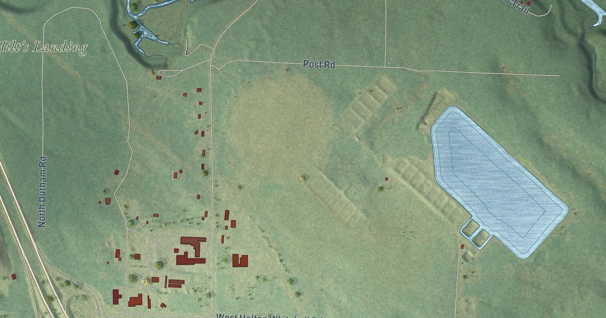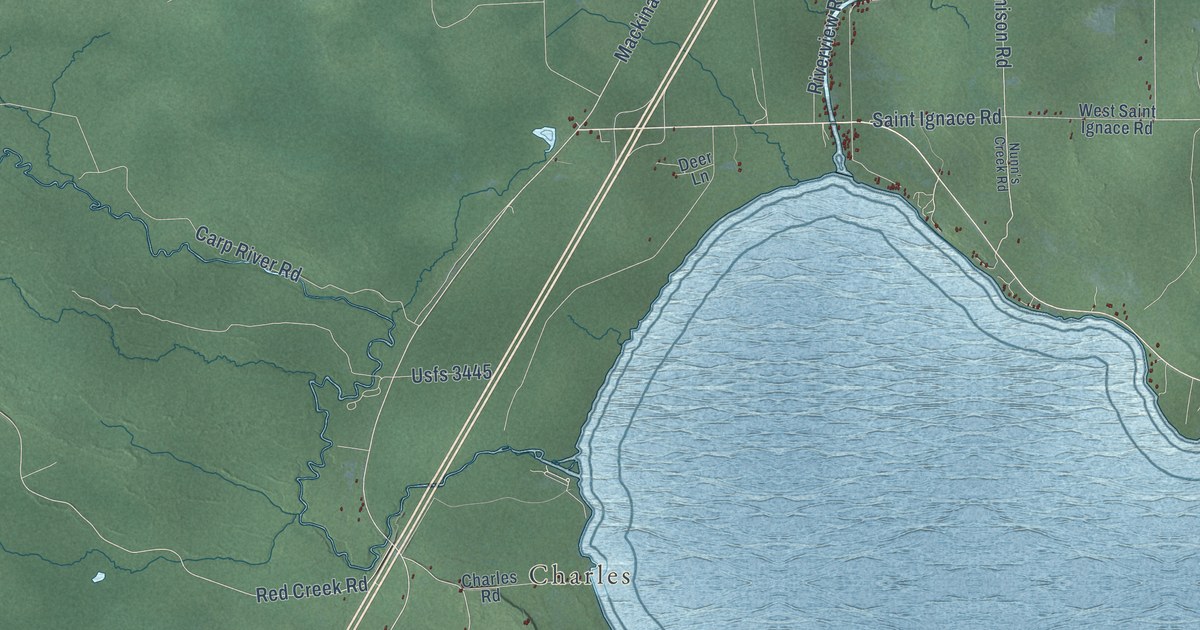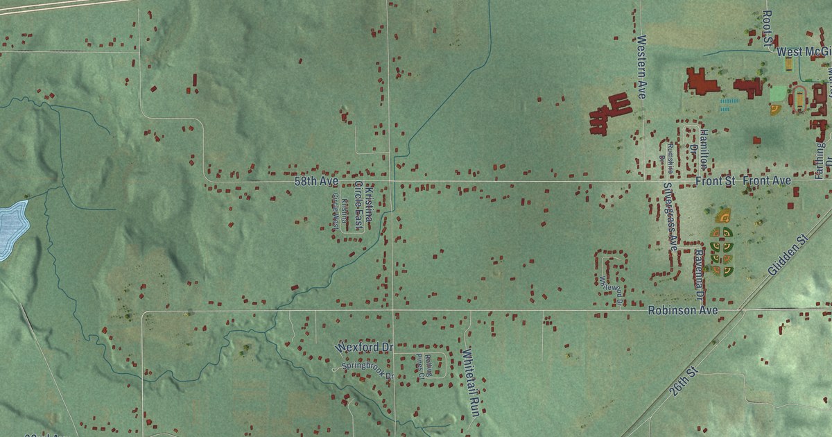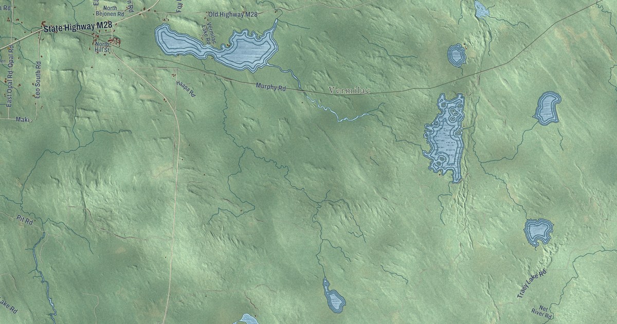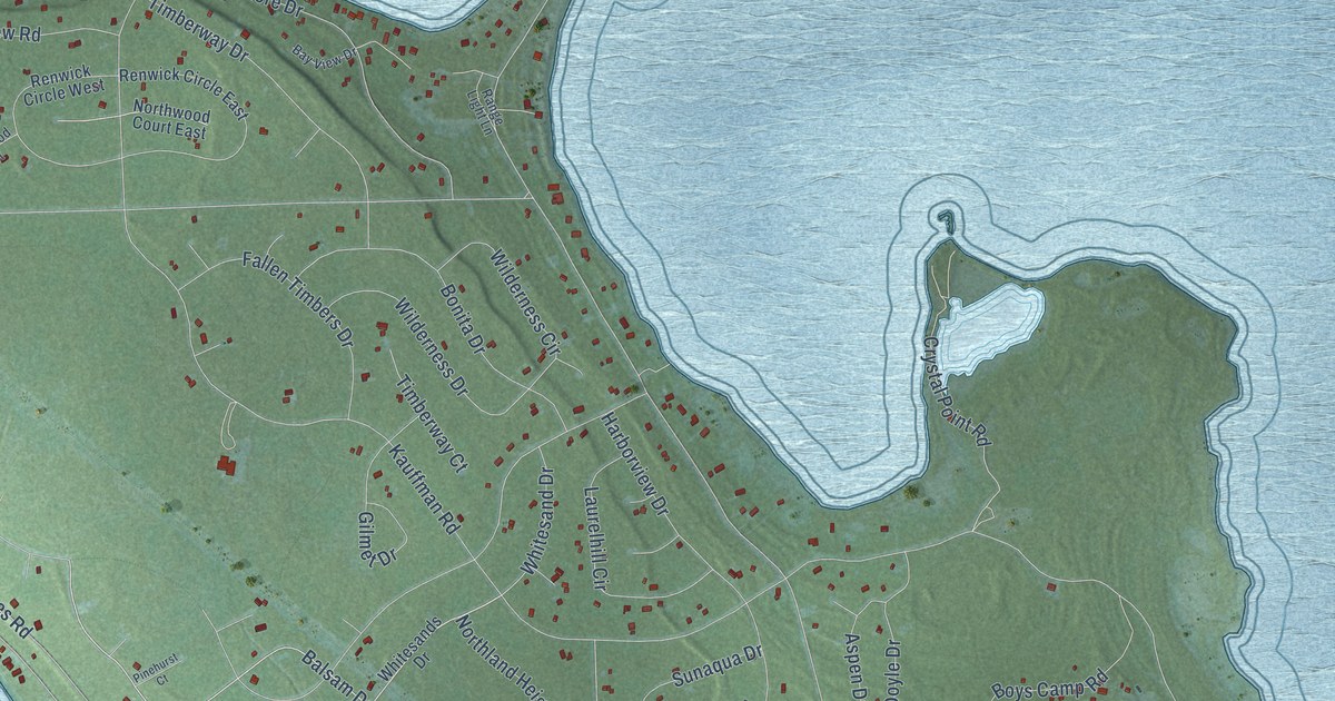
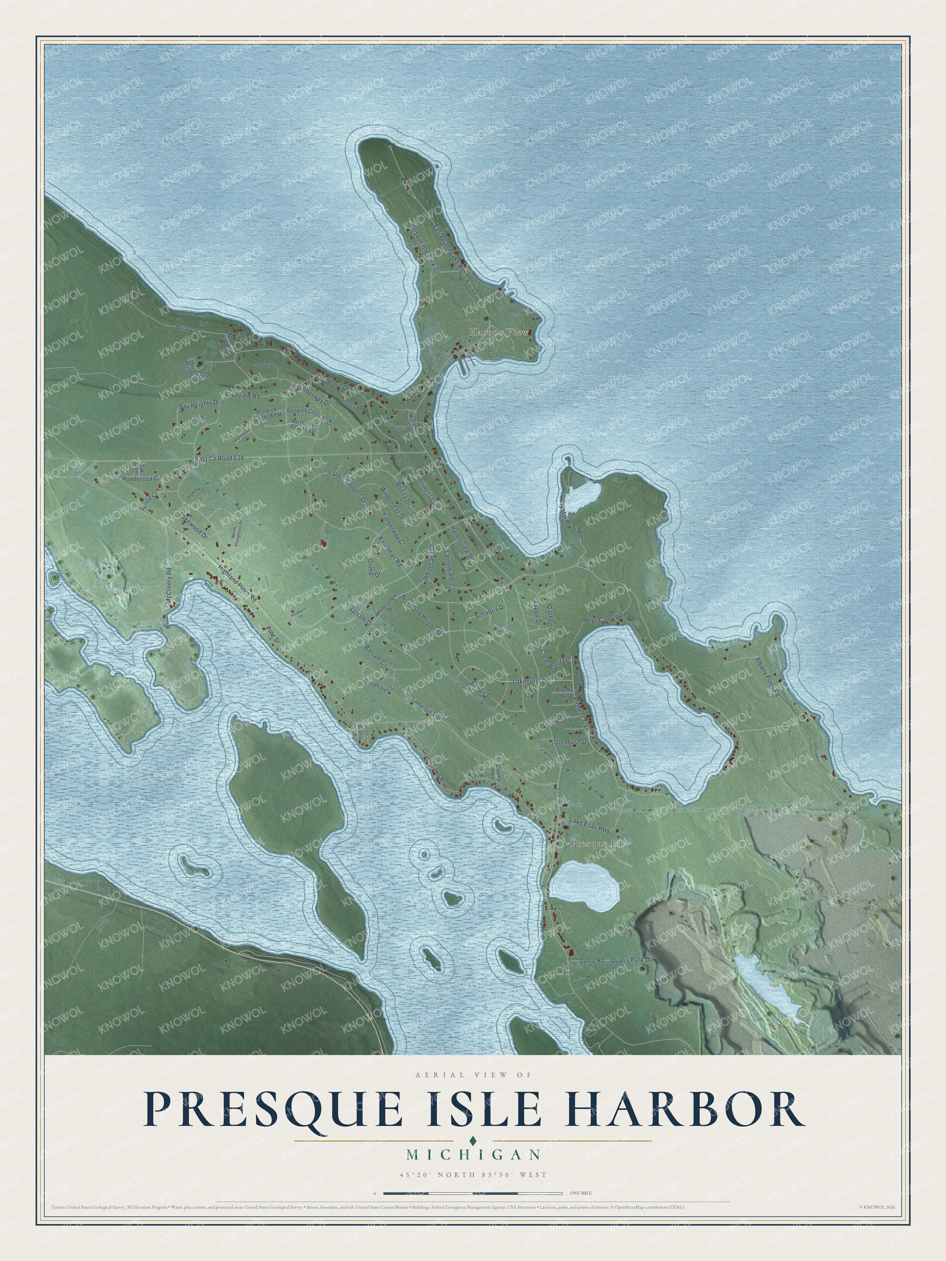
This beautifully detailed map of Presque Isle Harbor, Michigan was created in 2026 using aerial imagery combined with modern topographical, census, street and landmark data. It's a modern aerial view of Presque Isle Harbor in Presque Isle County, Michigan, that combines modern data with a vintage aesthetic. The roads feature printed names, and if you look closely you can find your exact house accurately shown in its correct location.
Explore an aerial view of Presque Isle Harbor, Michigan
On this map you'll find Presque Isle, Harbor View, Pioneer Trail, Lakehurst Drive, Clear Water Drive, Balsam Drive, East Grand Lake Road, Kauffman Road, Highland Pines Road, Pineview Road, East Co Road 638, Albany Point Road, and more. Each red shape is a building, so zoom in on the preview and look for yours.
Presque Isle Harbor has a story worth telling. Presque Isle Harbor, one of Lake Huron's safest harbors of refuge, takes its name from its peninsula, French for almost an island. The lighthouse Jeremiah Moors of Detroit finished here in 1840 is one of the oldest surviving lighthouses on the Great Lakes, and its last keeper, Pat Garrity, was appointed by President Lincoln. Four of Garrity's children, raised in the keeper's house, became lighthouse keepers too. In 1870 a new lighthouse to the north and two range lights for the harbor entrance were completed. That's from the Michigan History Center.
Presque Isle Harbor is a community in Presque Isle County. The Census Bureau counted 643 people here in 2020.
Take a closer look at the Presque Isle Harbor map
Names on this map
These names are printed on this map.
Places: Presque Isle and Harbor View.
Streets and roads: Pioneer Trail, Lakehurst Drive, Clear Water Drive, Balsam Drive, East Grand Lake Road, Kauffman Road, Highland Pines Road, Pineview Road, East County Road 638, Albany Point Road, Grand Lake Boulevard, Bay Shore Drive.
More street names, A to Z
Aspen Drive, Balsam Circle, Bay Heights Drive, Bay View Drive, Belfair Drive, Bonita Drive, Boys Camp Road, Briar Lane, Cedar Terrace Drive, County Highway, Crystal Point Road, Doyle Drive, Dump Road, Fallen Timbers Drive, Garrity Lane, Gilmet Drive, Glenbush Drive, Harborview Drive, Harwood Court, Lake Esau Highway, Lakewood Circle, Lakewood Drive, Laurelhill Circle, McCreery Road, North Bay Court, Northland Heights Drive, North Pinegrove Drive, Northwood Court East, Oak Glen, Pinehurst Court, Pine Street, Ponderosa Circle, Presque Isle Park Drive, Quarry Park Drive, Range Light Lane, Renwick Circle East, Renwick Circle West, Shoreham Court, Silvana Court, Spruce Court, Starlite Court, Sunaqua Drive, Timbergill Trail, Timberway Court, Timberway Drive, Tip Top Court, Whitesand Drive, Whitesands Drive, Wilderness Circle, Wilderness Drive, Wildomor Drive, Woodhaven Circle.
See it on a wall
The Presque Isle Harbor map as a framed print. Swipe for more.


Created by KNOWOL in 2026. The buildings are small red shapes, the roads carry their printed names, and shaded relief shows the shape of the land. The title panel reads "AERIAL VIEW OF PRESQUE ISLE HARBOR, MICHIGAN" with 45°20' NORTH 83°30' WEST.
It looks right in a kitchen, an office or a den, and it's a gift for anyone who grew up in Presque Isle Harbor or moved away. Open the preview and find your street. See sizes and frames for the Presque Isle Harbor map.