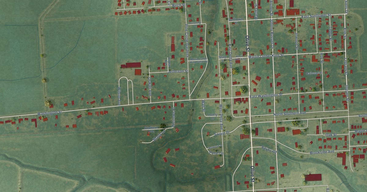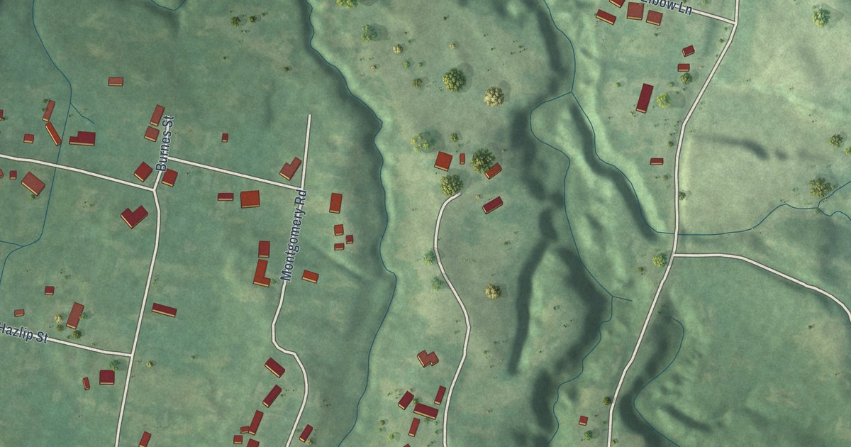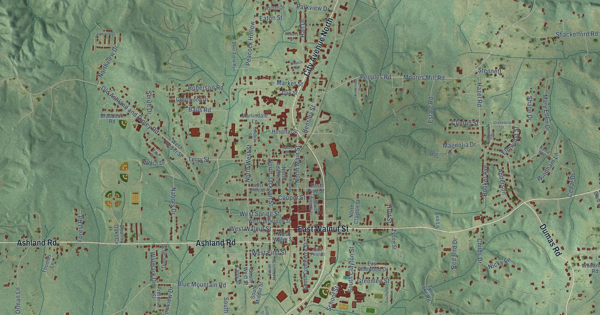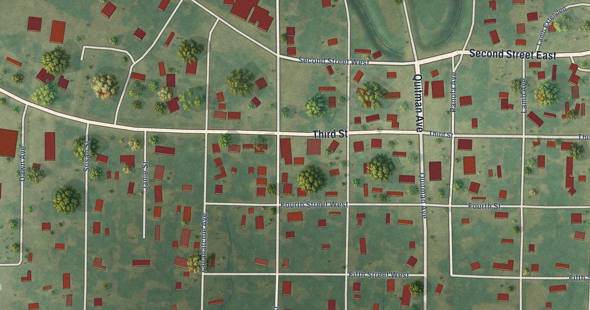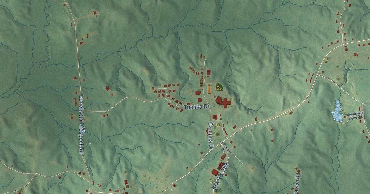
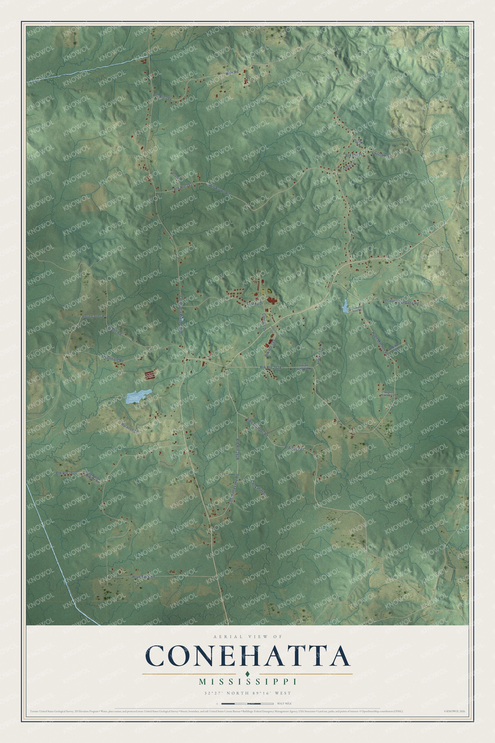
This beautifully detailed map of Conehatta, Mississippi was created in 2026 using aerial imagery combined with modern topographical, census, street and landmark data. It's a modern aerial view of Conehatta in Newton County, Mississippi, that combines modern data with a vintage aesthetic. The roads feature printed names, and if you look closely you can find your exact house accurately shown in its correct location.
Explore an aerial view of Conehatta, Mississippi
On this map you'll find Decatur Conehatta Road, Conehatta Lake Road, Mills Road, Hugh Mitchell Road, Hoye Pace Road, Conehatta Prospect Road, Will Brown Road, McDill Road, Albo Stamper Road, McDonald Road, Harason Drive, Tushka Drive, and more. Each red shape is a building, so zoom in on the preview and look for yours.
Here is a piece of Conehatta history. Conehatta is one of the eight officially recognized communities of the Mississippi Band of Choctaw Indians. Its Choctaw name, Koni Hata, means gray or silver skunk, and the Tribe says its community names stand for landmarks, prominent wildlife and other important features. That's from the Mississippi Band of Choctaw Indians.
Conehatta is a community in Newton County. The Census Bureau counted 1,376 people here in 2020.
Take a closer look at the Conehatta map
Names on this map
These names are printed on this map.
Streets and roads: BIA Route 283, Decatur Conehatta Road, Conehatta Lake Road, BIA Route 289, BIA Route 284, Mills Road, Hugh Mitchell Road, Hoye Pace Road, Conehatta Prospect Road, BIA Route 2811, Will Brown Road, McDill Road.
More street names, A to Z
Albo Stamper Road, Anderson Road, BIA Route 287, BIA Route 288, BIA Route 2810, Campus Drive, Chickaway Drive, Choctaw Circle, Choctaw Road, Community Pond Road, Edgar Caples Road, Harason Drive, Hoye Pace Extension Road, Hugh Mitchell Cv, Indian School Road, McDonald Road, Otha Cv, Red Oak Road, Round Drive, Tushka Drive.
See it on a wall
The Conehatta map as a framed print. Swipe for more.


Created by KNOWOL in 2026. The buildings are small red shapes, the roads carry their printed names, and shaded relief shows the shape of the land. The title panel reads "AERIAL VIEW OF CONEHATTA, MISSISSIPPI" with 32°27' NORTH 89°16' WEST.
It suits a den, a classroom or a front hall, and it makes a gift for anyone with Conehatta roots. Open the preview and find the block you know. See sizes and frames for the Conehatta map.