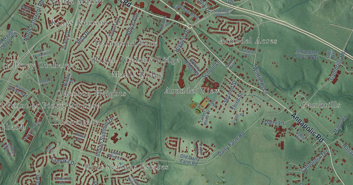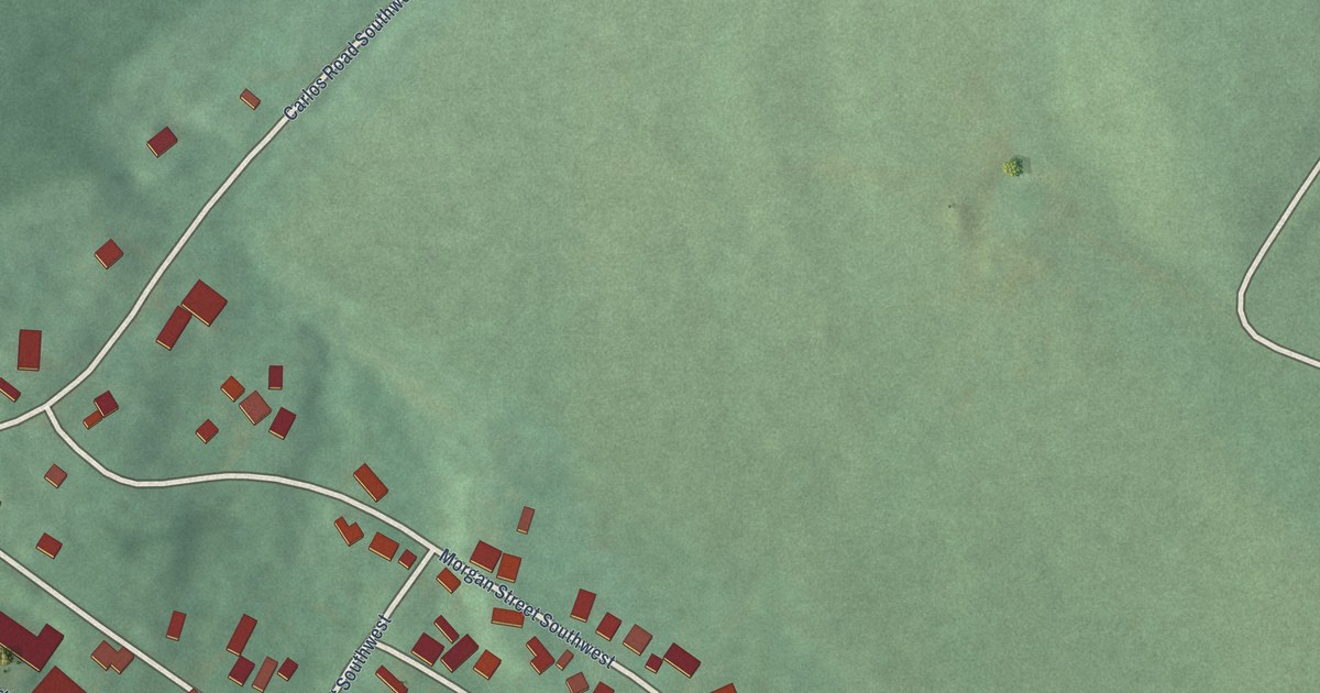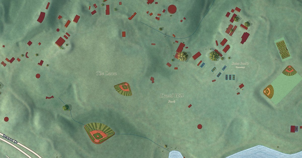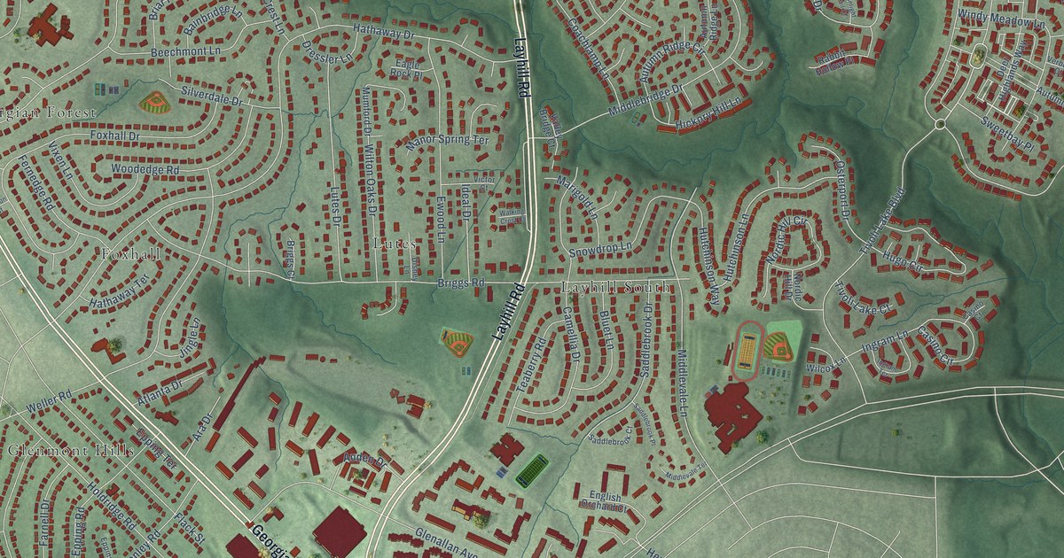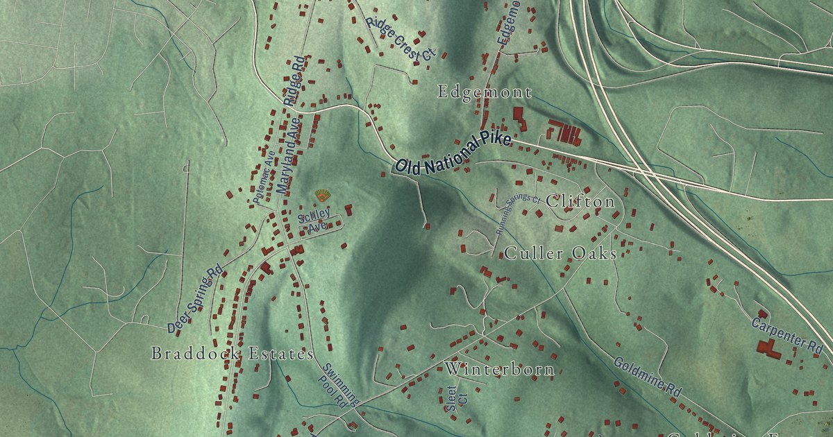
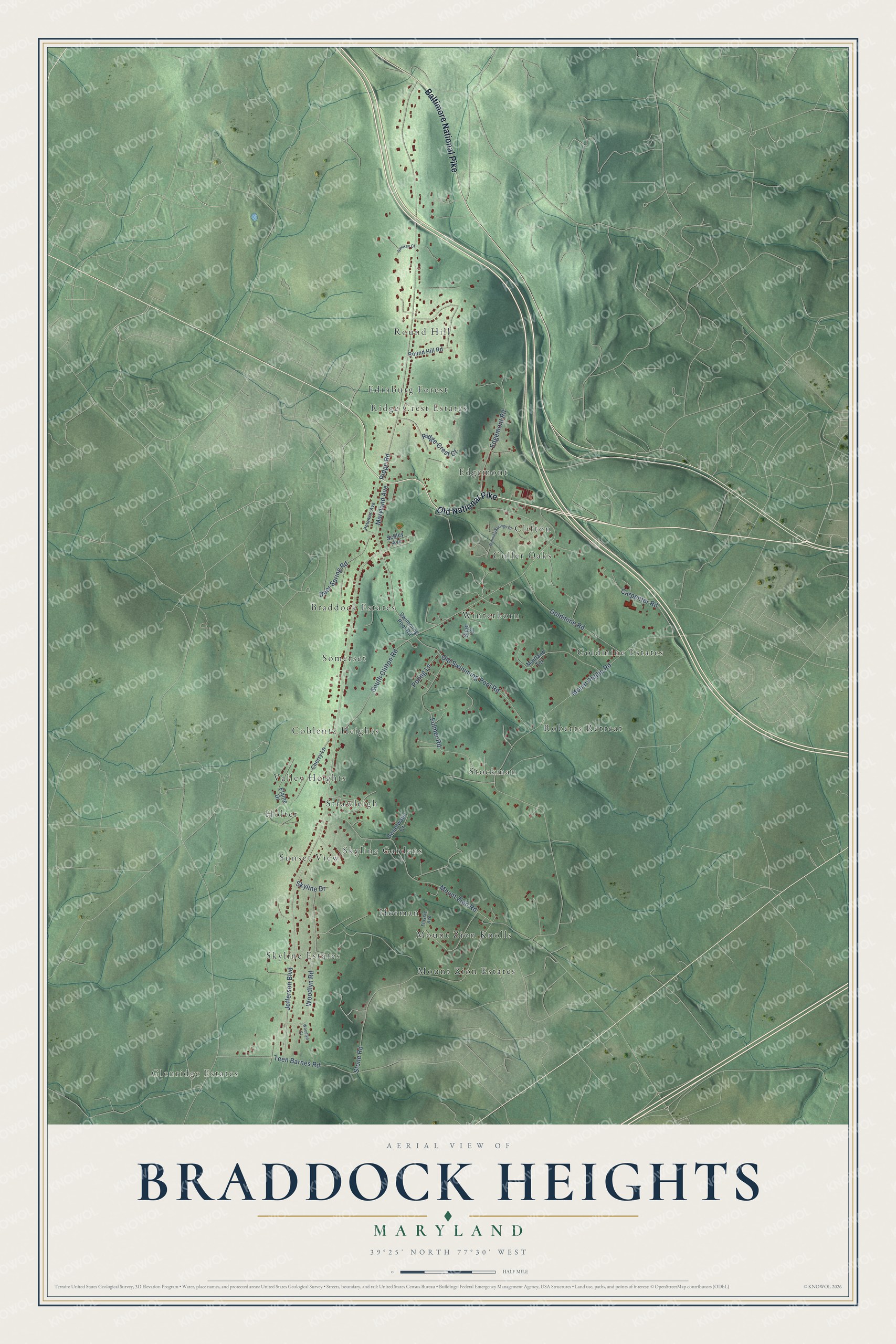
This beautifully detailed map of Braddock Heights, Maryland was created in 2026 using aerial imagery combined with modern topographical, census, street and landmark data. It's a modern aerial view of Braddock Heights in Frederick County, Maryland, that combines modern data with a vintage aesthetic. The roads feature printed names, and if you look closely you can find your exact house accurately shown in its correct location.
Explore an aerial view of Braddock Heights, Maryland
On this map you'll find Glenridge Estates, Braddock Estates, Mount Zion Knolls, Ridge Crest Estates, Goldmine Estates, Coblentz Heights, Skyline Estates, Holter, Roberts Retreat, Clifton, Winterborn, Round Hill, and more. Each red shape is a building, so zoom in on the preview and look for yours.
Braddock Heights has a story worth telling. Braddock Heights began as a summer resort built to bring riders to the Frederick and Middletown Railway, an electric trolley line that Frederick and Middletown landowners formed in 1893. The company put up a wooden observatory tower on the mountaintop in 1894, and the first passenger trolley ran in August 1896. It was the only community in Frederick County built wholly because of the trolley, and the line ran until 1954. That's from the Maryland Historical Trust.
Braddock Heights is a community in Frederick County. The Census Bureau counted 3,075 people here in 2020.
Take a closer look at the Braddock Heights map
Names on this map
These names are printed on this map.
Places: Glenridge Estates, Braddock Estates, Mount Zion Knolls, Ridge Crest Estates, Goldmine Estates, Coblentz Heights, Skyline Estates, Holter, Roberts Retreat, Clifton, Winterborn, Round Hill, Stockman, Strawleigh, Somerset, Edgemont, Edinburg Forest, Horman, Mount Zion Estates, Sunset View, Culler Oaks, Valley Heights and Skyline Gardens.
Streets and roads: Old National Pike, Baltimore National Pike, Jefferson Boulevard, Carpenter Road, Mount Phillip Road, Ridge Road, South Clifton Road, Mount Zion Road, Stone Road, Fulmer Road, Old Swimming Pool Road, Woodlyn Road.
More street names, A to Z
Cherry Lane, Deer Spring Road, Edgemont Road, Elaine Drive, Flossie Avenue, Goldmine Road, Maitland Terrace, Maryland Avenue, Poling Lane, Potomac Avenue, Ridge Crest Court, Round Hill Road, Running Springs Court, Schley Avenue, Skyline Drive, Sleet Court, Smokey Court, Sweetwater Court, Swimming Pool Road, Teen Barnes Road, Woodlyn Court.
See it on a wall
The Braddock Heights map as a framed print. Swipe for more.


Created by KNOWOL in 2026. The buildings are small red shapes, the roads carry their printed names, and shaded relief shows the shape of the land. The title panel reads "AERIAL VIEW OF BRADDOCK HEIGHTS, MARYLAND" with 39°25' NORTH 77°30' WEST.
It looks right in a kitchen, an office or a den, and it's a gift for anyone who grew up in Braddock Heights or moved away. Open the preview and find your street. See sizes and frames for the Braddock Heights map.