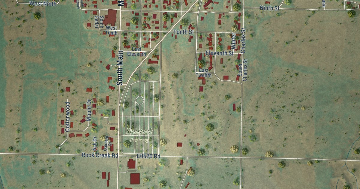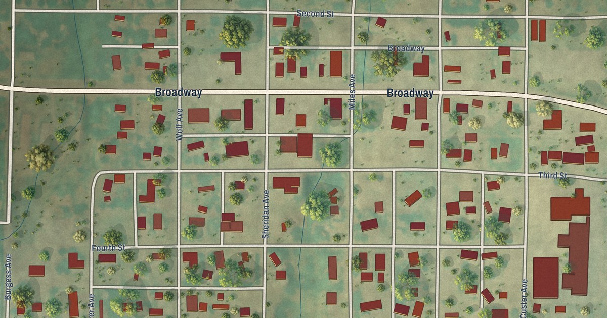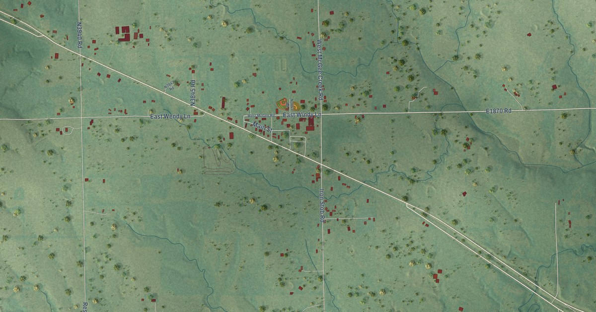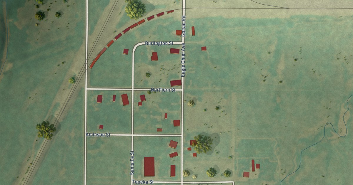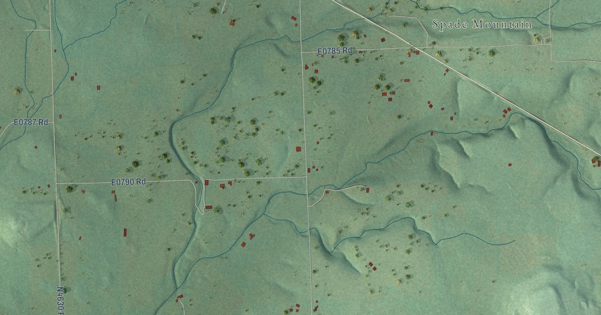
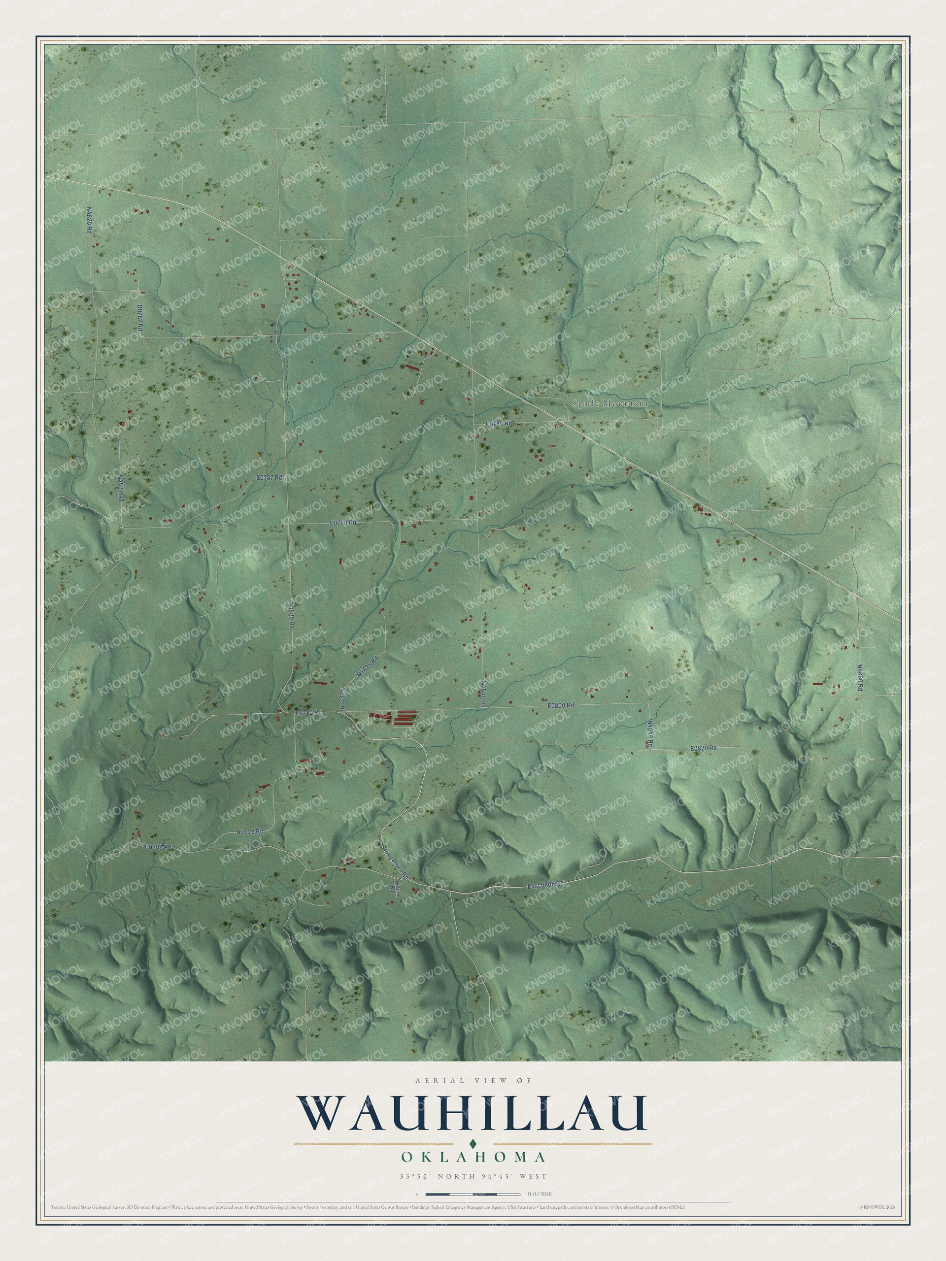
This beautifully detailed map of Wauhillau, Oklahoma was created in 2026 using aerial imagery combined with modern topographical, census, street and landmark data. It's a modern aerial view of Wauhillau in Adair County, Oklahoma, that combines modern data with a vintage aesthetic. The roads feature printed names, and if you look closely you can find your exact house accurately shown in its correct location.
Explore an aerial view of Wauhillau, Oklahoma
On this map you'll find Spade Mountain, East 0808 Road, E0820 Road, Stone Point Road, N4649 Road, E0800 Road, N4629 Road, N4621 Road, E0785 Road, N4630 Road, E0780 Road, E0790 Road, and more. Each red shape is a building, so zoom in on the preview and look for yours.
Here is a piece of Wauhillau history. Cherokee families were settling at Wauhillau as early as 1839. The community was named for a respected Cherokee elder, Katie Eagle Goback, and the name comes from wa-hi-la, the Cherokee word for eagle. Her grandson Ned Christie, a blacksmith who served on the Executive Council of the Cherokee Nation, is buried in the community's Watt Christie Cemetery. His headstone calls him a good man. That's from the Cherokee Heritage Center.
Wauhillau is a community in Adair County. The Census Bureau counted 307 people here in 2020.
Take a closer look at the Wauhillau map
Names on this map
These names are printed on this map.
Places: Spade Mountain.
Streets and roads: East 0808 Road and Stone Point Road.
See it on a wall
The Wauhillau map as a framed print. Swipe for more.


Created by KNOWOL in 2026. The buildings are small red shapes, the roads carry their printed names, and shaded relief shows the shape of the land. The title panel reads "AERIAL VIEW OF WAUHILLAU, OKLAHOMA" with 35°52' NORTH 94°45' WEST.
It suits a den, a classroom or a front hall, and it makes a gift for anyone with Wauhillau roots. Open the preview and find the block you know. See sizes and frames for the Wauhillau map.