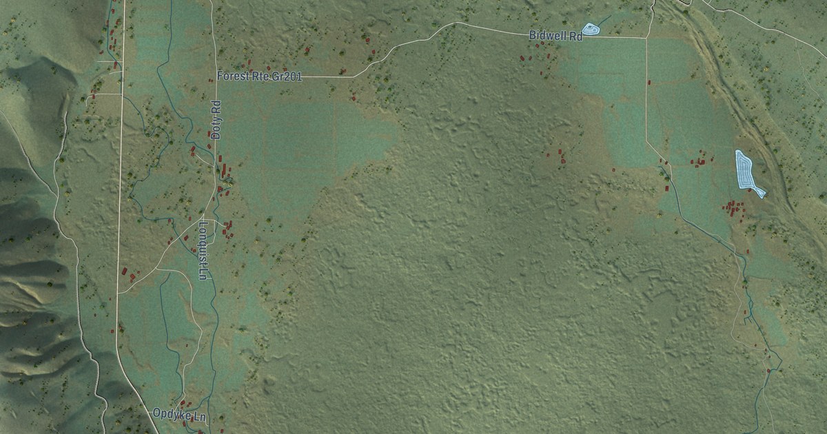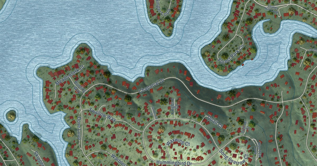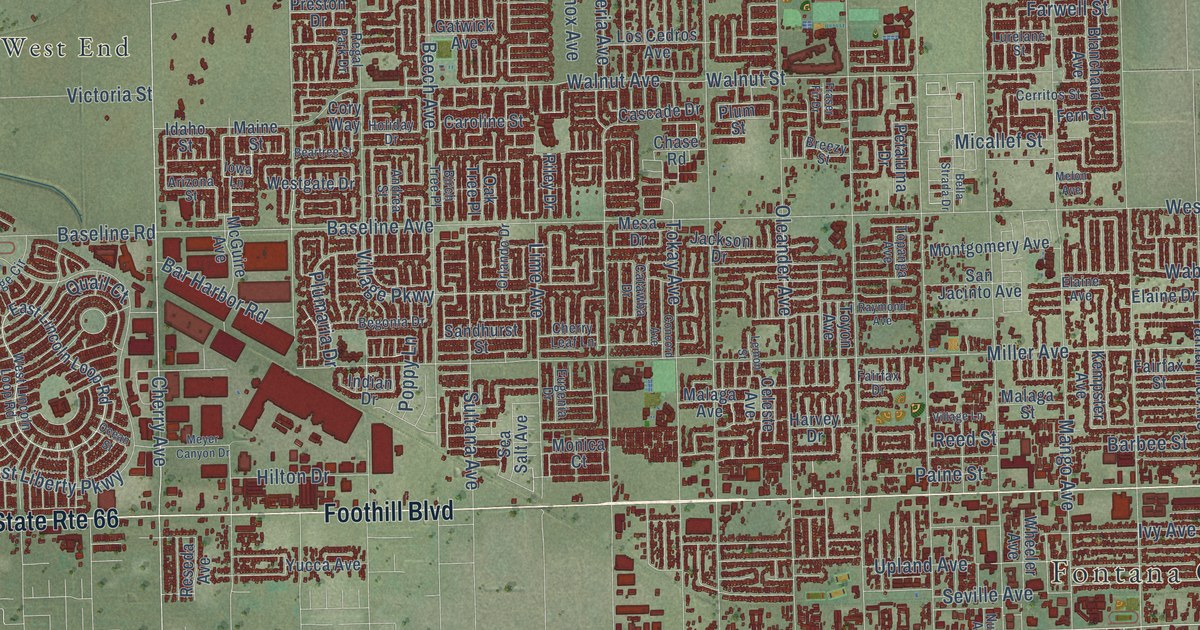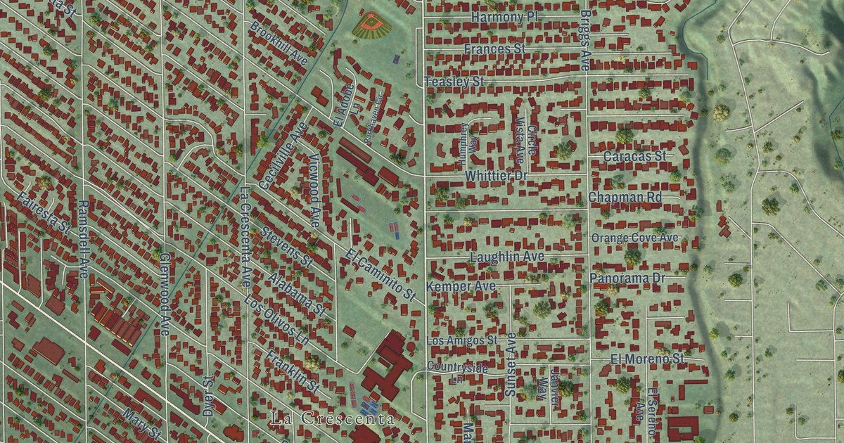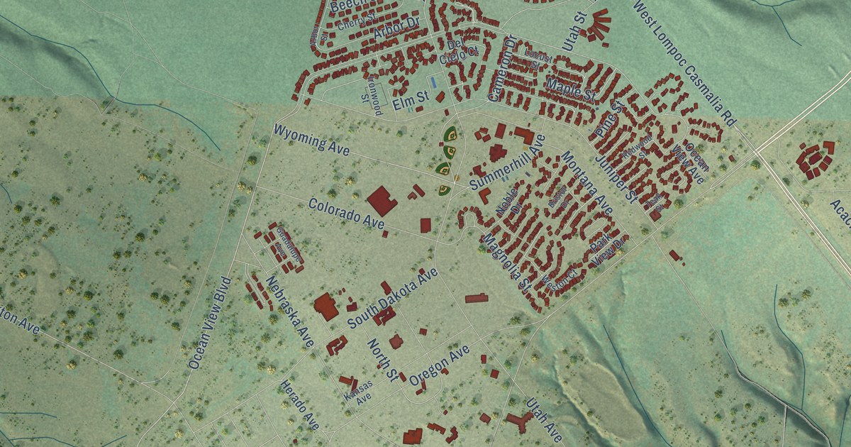
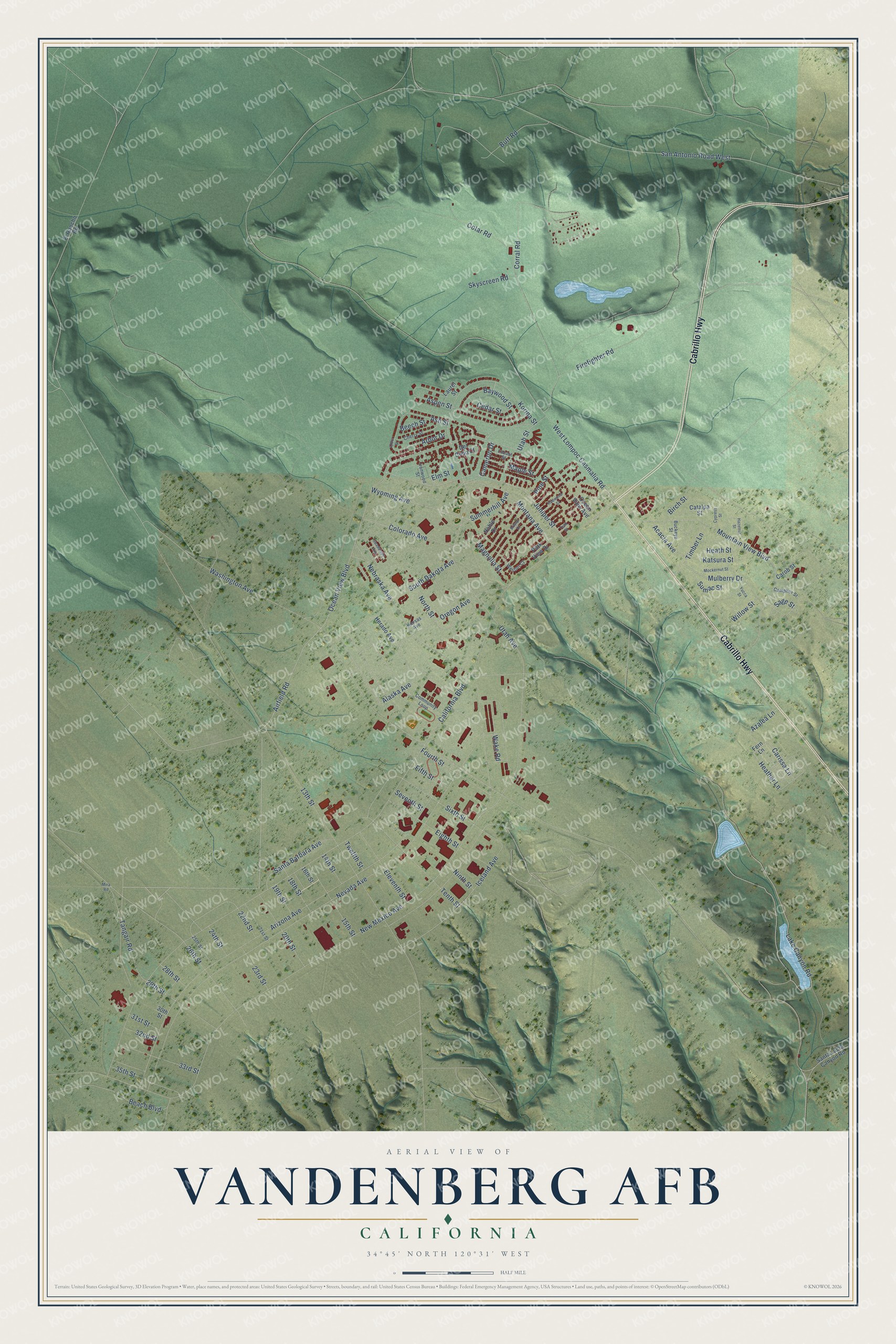
This beautifully detailed map of Vandenberg AFB, California was created in 2026 using aerial imagery combined with modern topographical, census, street and landmark data. It's a modern aerial view of Vandenberg AFB in Santa Barbara County, California, that combines modern data with a vintage aesthetic. The roads feature printed names, and if you look closely you can find your exact house accurately shown in its correct location.
Explore an aerial view of Vandenberg AFB, California
On this map you'll find Cabrillo Highway, Lake Canyon Road, California Boulevard, West Lompoc Casmalia Road, Ocean View Boulevard, Airfield Road, Wyoming Avenue, Utah Avenue, Carissa Lane, San Antonio Road West, Heather Lane, Sage Street, and more. Each red shape is a building, so zoom in on the preview and look for yours.
Here is a piece of Vandenberg AFB history. The Army bought most of the land for the base's main cantonment area in 1941 for a training center, and Camp Cooke, named for Major General Philip St. George Cooke, opened later that year. Faint traces of Camp Cooke, like its old street pattern, can still be seen. In 1958 the base was renamed for General Hoyt S. Vandenberg, the Air Force's second Chief of Staff. Camp Cooke trained soldiers for the Second World War and the Korean War. At its peak it had a hospital, chapels, theaters, a mock city for training and a prisoner of war camp. That's from the U.S. Air Force.
Vandenberg AFB is a community in Santa Barbara County. The Census Bureau counted 3,559 people here in 2020.
Take a closer look at the Vandenberg AFB map
Names on this map
These names are printed on this map.
Streets and roads: Cabrillo Highway, Lake Canyon Road, California Boulevard, West Lompoc Casmalia Road, Ocean View Boulevard, Airfield Road, Wyoming Avenue, Utah Avenue, Carissa Lane, San Antonio Road West, Heather Lane, Sage Street.
More street names, A to Z
13th Street, 14th Street, 15th Street, 16th Street, 18th Street, 19th Street, 20th Street, 21st Street, 22nd Street, 23rd Street, 24th Street, 25th Street, 26th Street, 28th Street, 29th Street, 30th Street, 31st Street, 32nd Street, 33rd Street, 35th Street, Acacia Avenue, Alaska Avenue, Arbor Drive, Arbor Street, Arizona Avenue, Ash Street, Aspen Street, Azalea Lane, Baywood Street, Beach Boulevard, Beech Street, Birch Street, Bristol Drive, Buckeye Street, Butt Road, Cameron Drive, Camphor Street, Carob Street, Catalpa Street, Cedar Street, Cherry Street, Colorado Avenue, Community Loop, Corral Road, Cotar Road, Cypress Street, Del Cielo Court, Eighth Street, Eleventh Street, Elm Street, El Rancho Road, Fern Lane, Fifth Street, Firefighter Road, Fourth Street, Guadalupe Avenue, Hazelnut Street, Heath Street, Herado Avenue, Iceland Avenue, Ironwood Street, Juniper Street, Kansas Avenue, Katsura Street, Korina Street, Laurel Street, Locust Street, Magnolia Street, Maple Street, Mira Road, Mockernut Street, Montana Avenue, Mountain View Boulevard, Mulberry Drive, Nebraska Avenue, Nevada Avenue, New Mexico Avenue, Ninth Street, Noble Drive, North Street, Ocean View Avenue, Oregon Avenue, Park View Drive, Pine Street, Redwood Street, Santa Barbara Avenue, Santa Lucia Canyon Road, Seventh Street, Sixth Street, Skyscreen Road, South Dakota Avenue, Sumac Street, Summerhill Avenue, Tangair Road, Teak Street, Tenth Street, Timber Lane, Twelfth Street, Utah Street, Wake Road, Washington Avenue, Weston Court, Willow Street, Yucca Street.
See it on a wall
The Vandenberg AFB map as a framed print. Swipe for more.


Created by KNOWOL in 2026. The buildings are small red shapes, the roads carry their printed names, and shaded relief shows the shape of the land. The title panel reads "AERIAL VIEW OF VANDENBERG AFB, CALIFORNIA" with 34°45' NORTH 120°31' WEST.
It suits a den, a classroom or a front hall, and it makes a gift for anyone with Vandenberg AFB roots. Open the preview and find the block you know. See sizes and frames for the Vandenberg AFB map.