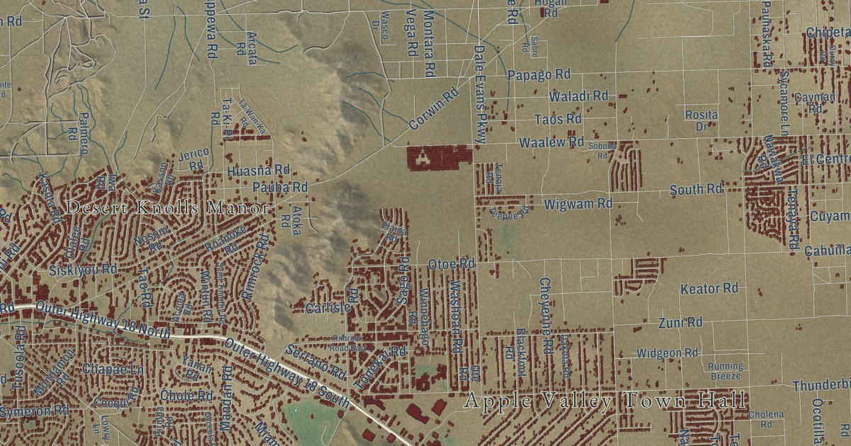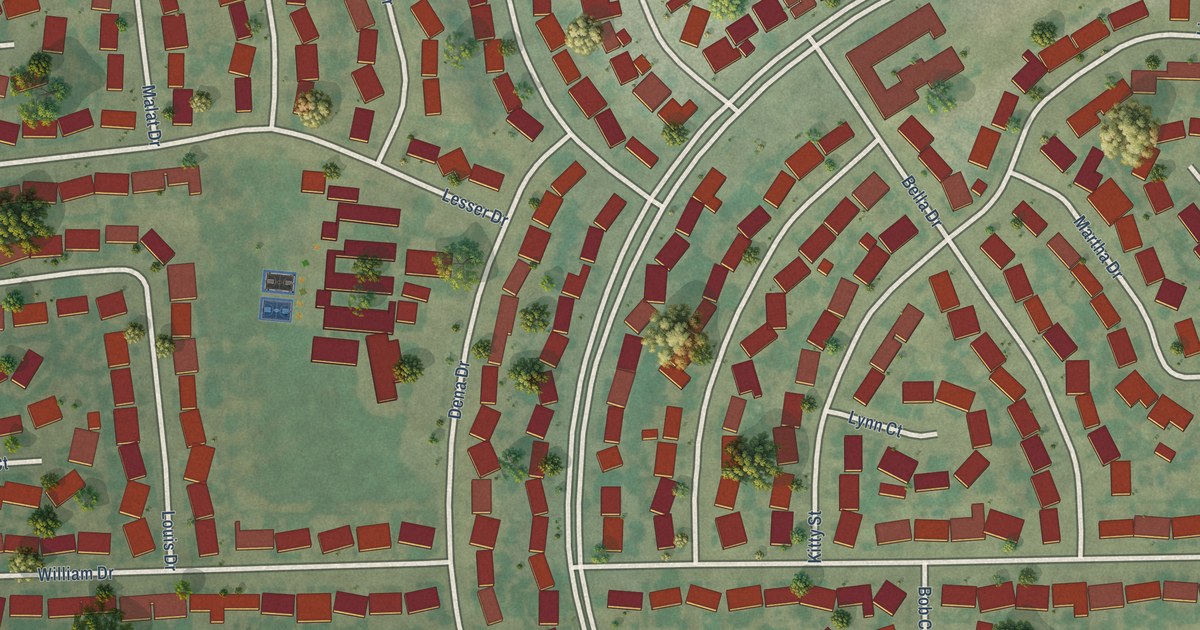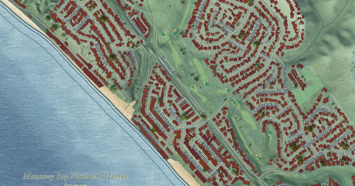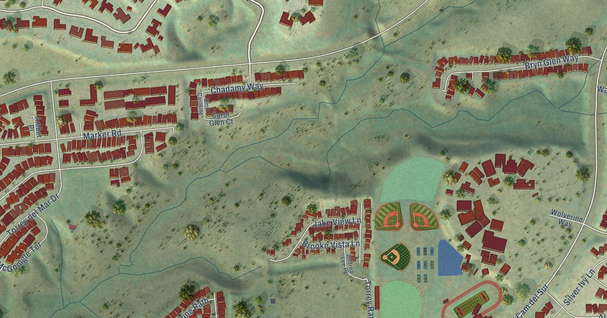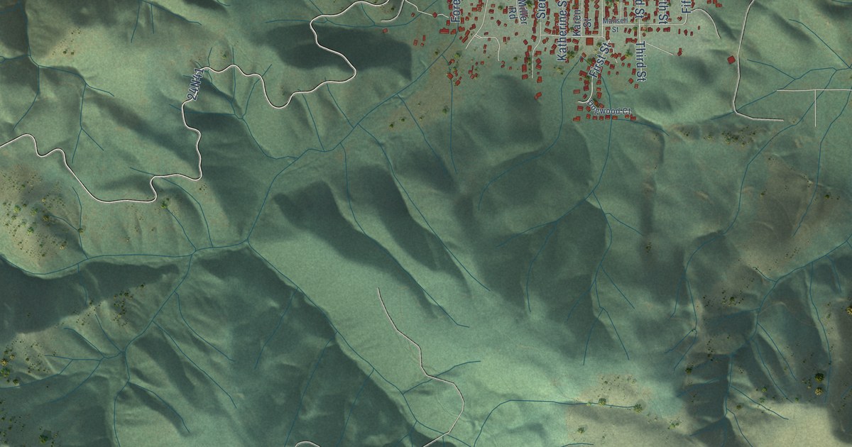
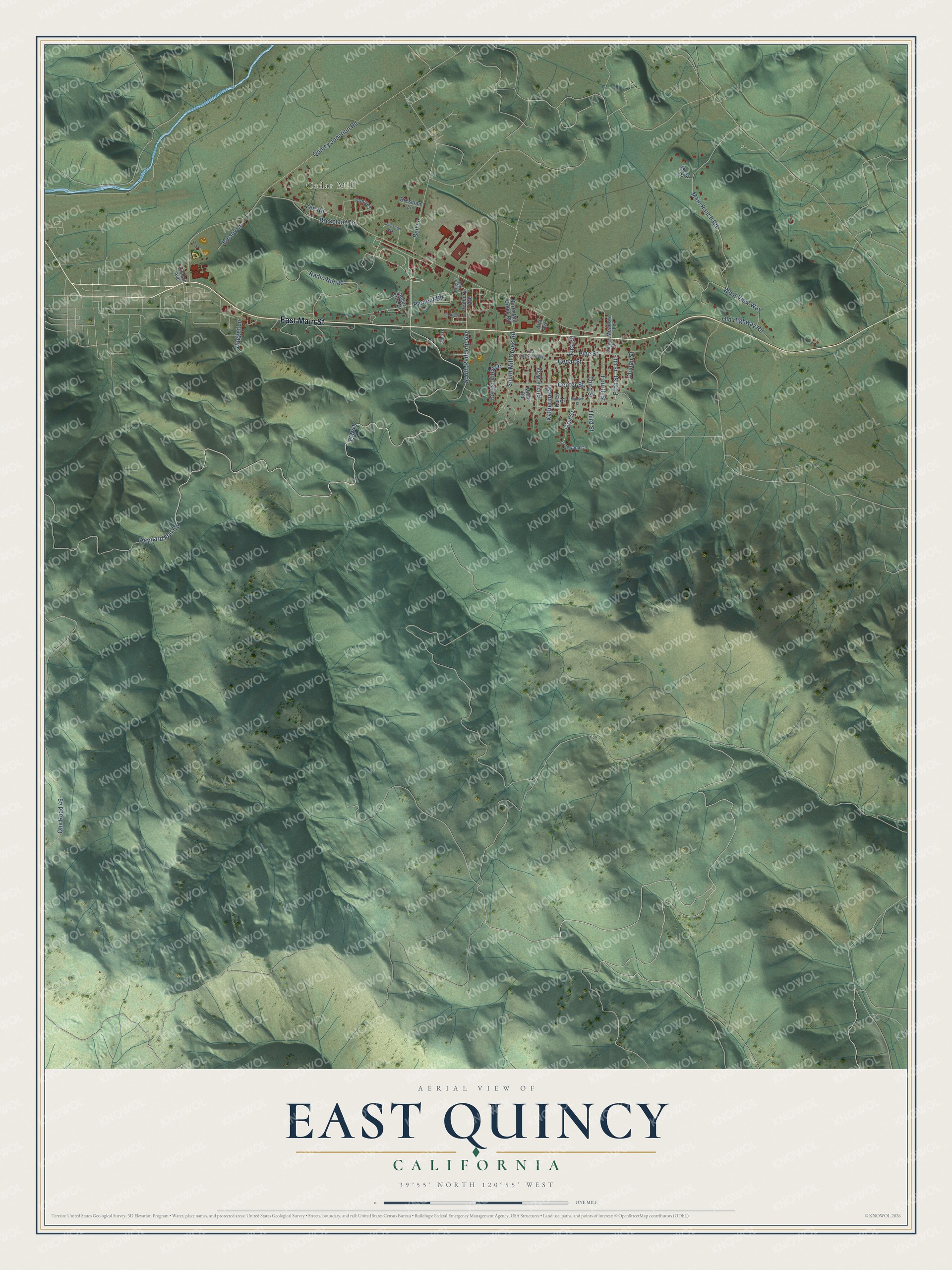
This beautifully detailed map of East Quincy, California was created in 2026 using aerial imagery combined with modern topographical, census, street and landmark data. It's a modern aerial view of East Quincy in Plumas County, California, that combines modern data with a vintage aesthetic. The roads feature printed names, and if you look closely you can find your exact house accurately shown in its correct location.
Explore an aerial view of East Quincy, California
On this map you'll find Cedar Mill, East Main Street, Peppard Flat Road, Pioneer Road, South Redberg Avenue, First Street, Lee Road, Fifth Street, 24N41, Quincy Junction Road, Radio Hill Road, Main Ranch Road, and more. Each red shape is a building, so zoom in on the preview and look for yours.
Here is a piece of East Quincy history. Settlers at the eastern end of American Valley wanted a school of their own, since the one in Quincy was too far away. They raised 375 dollars, mostly in gifts of 25 dollars, one man gave a load of lumber, and the men who hauled it brought enough to build the first schoolhouse in Plumas County. On July 2, 1857, they hired S. A. Ballou as teacher at 60 dollars a month, and nineteen children came that summer. That's from the 1882 History of Plumas County.
East Quincy is a community in Plumas County. The Census Bureau counted 2,463 people here in 2020.
Take a closer look at the East Quincy map
Names on this map
These names are printed on this map.
Places: Cedar Mill.
Streets and roads: East Main Street, Peppard Flat Road, Pioneer Road, South Redberg Avenue, First Street, Lee Road, Fifth Street, Quincy Junction Road, Radio Hill Road, Main Ranch Road, Center Street, West View Way.
More street names, A to Z
Alta Avenue, Bell Lane, Bresciani Circle, Bresciani Lane, Cedar Street, Clough Street, Dogwood Court, East Claremont Way, Forest View Drive, Fourth Street, Industrial Way, Karen Street, Katherine Street, Kelsey Lane, Lindan Avenue, Mansell Street, Meadow Lane, Mesa Drive, Miller Road, North Mill Creek Road, Nugget Lane, Ohv Road 49, Old Highway Road, Pine Street, Pony Court, Redberg Avenue, Redberg Lane, Reese Street, Rogers Avenue, Sierra Way, South Mill Creek Road, Sugar Pine Drive, Sunrise, Third Street.
See it on a wall
The East Quincy map as a framed print. Swipe for more.


Created by KNOWOL in 2026. The buildings are small red shapes, the roads carry their printed names, and shaded relief shows the shape of the land. The title panel reads "AERIAL VIEW OF EAST QUINCY, CALIFORNIA" with 39°55' NORTH 120°55' WEST.
It suits a den, a classroom or a front hall, and it makes a gift for anyone with East Quincy roots. Open the preview and find the block you know. See sizes and frames for the East Quincy map.