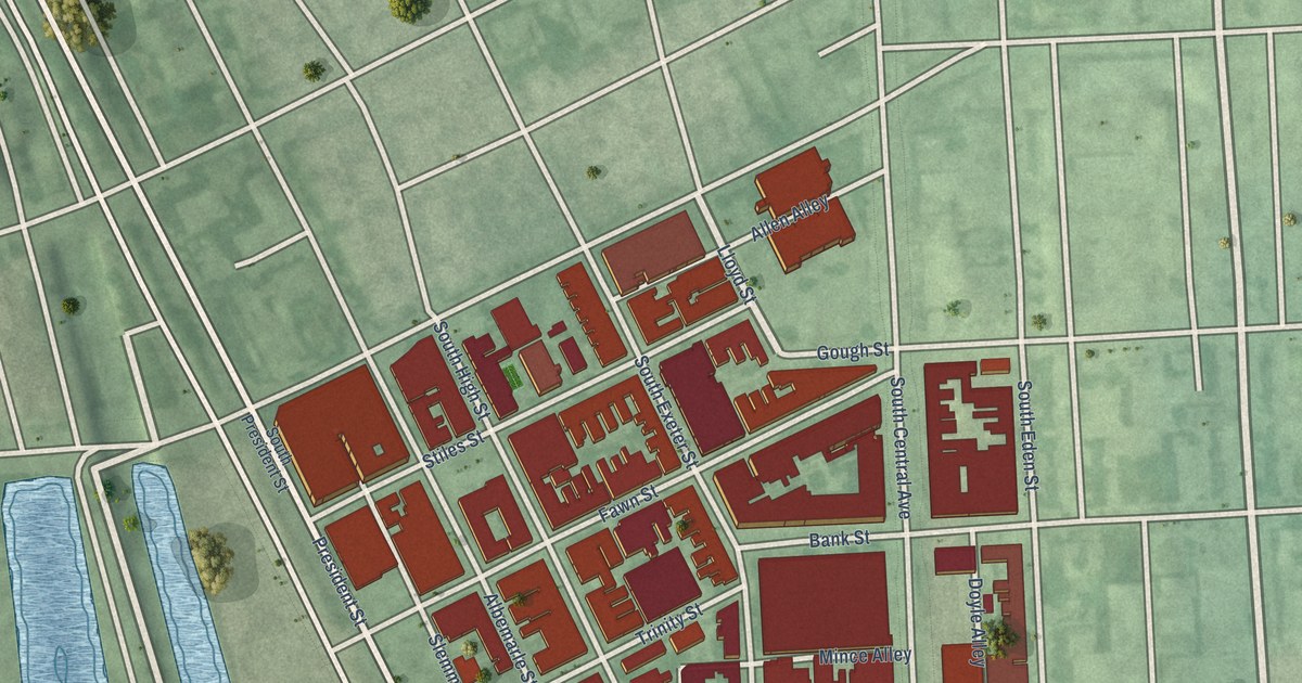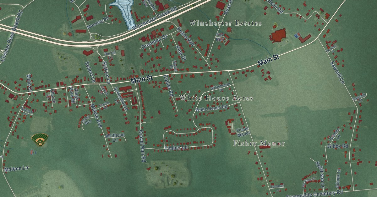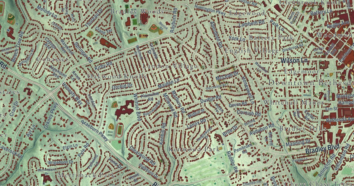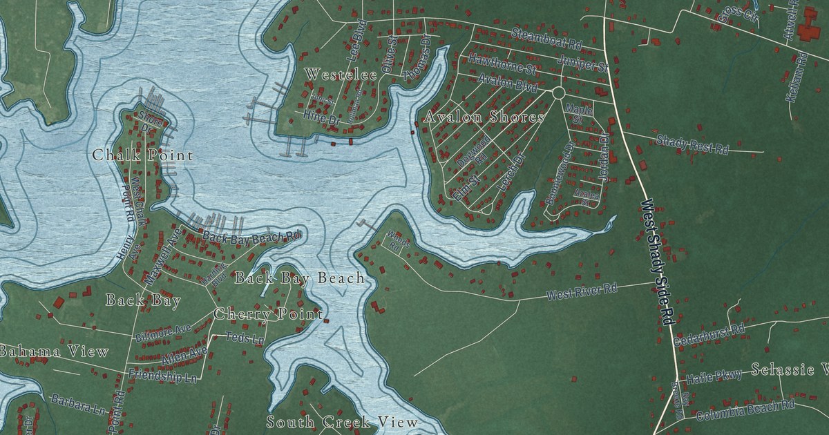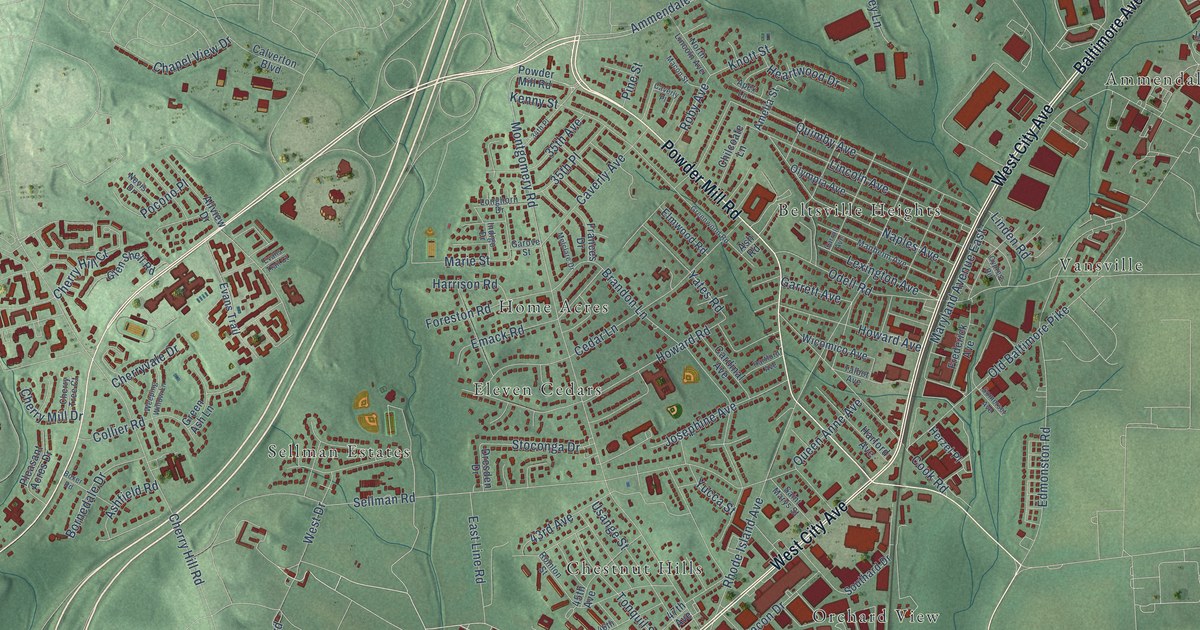
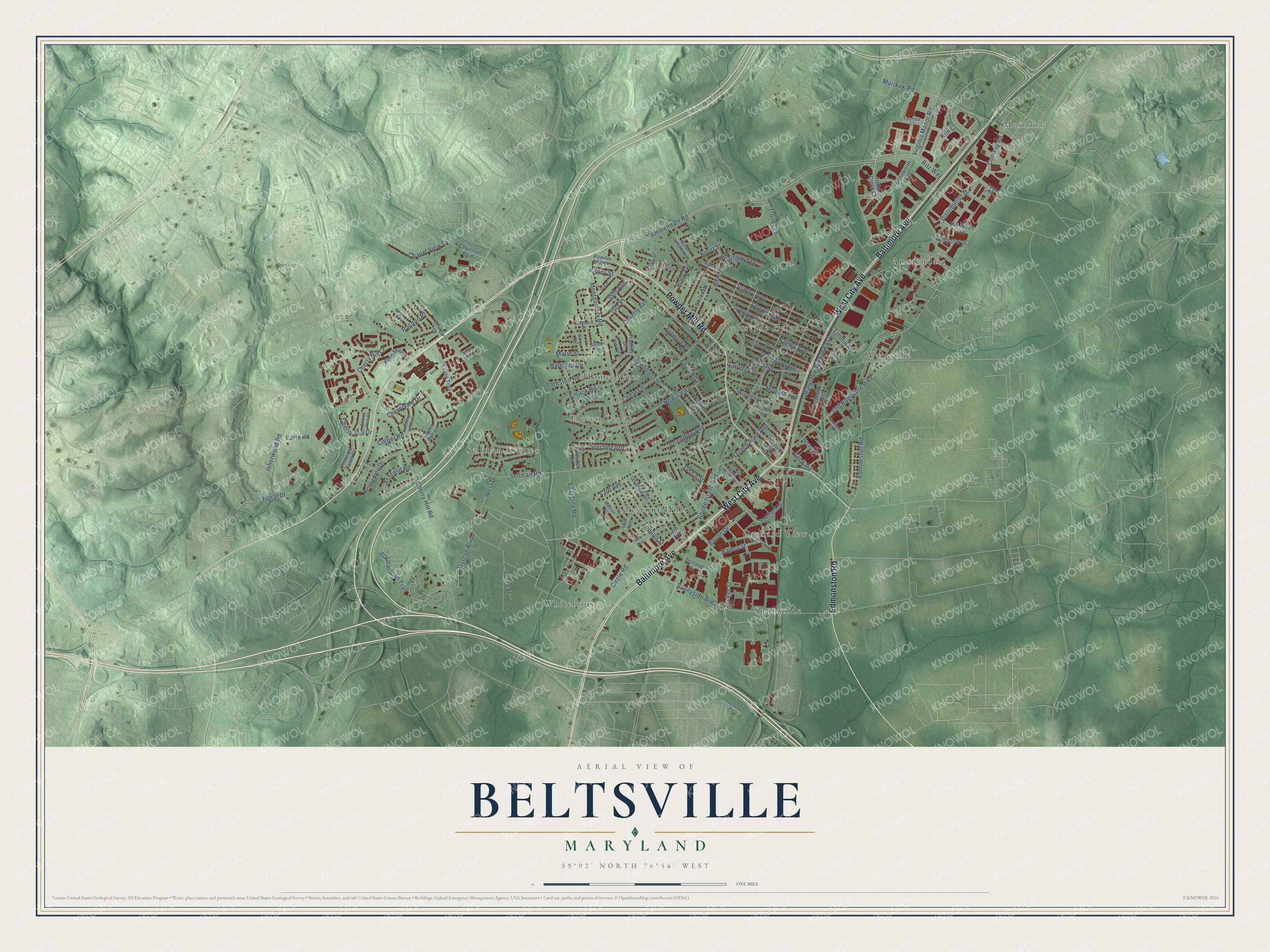
This beautifully detailed map of Beltsville, Maryland was created in 2026 using aerial imagery combined with modern topographical, census, street and landmark data. It's a modern aerial view of Beltsville in Prince George's County, Maryland, that combines modern data with a vintage aesthetic. The roads feature printed names, and if you look closely you can find your exact house accurately shown in its correct location.
Explore an aerial view of Beltsville, Maryland
On this map you'll find Muirkirk, Beltsville Heights, Sunnyside, Home Acres, Ammendale, Whitehouse, Chestnut Hills, Vansville, Sellman Estates, Orchard View, Eleven Cedars, Powder Mill Road, and more. Each red shape is a building, so zoom in on the preview and look for yours.
Beltsville has a story worth telling. The Maryland Historical Trust puts it this way: "In the 1830s, the Baltimore and Ohio Railroad built tracks for the Washington Branch through the Belt family farm and established a station which was named Beltsville." The stop grew into a village with two churches, stores, a blacksmith and a wheelwright shop, and the Beltsville Agricultural Research Center was set up in 1910.
Beltsville is a community in Prince George's County. The Census Bureau counted 20,133 people here in 2020.
Take a closer look at the Beltsville map
Names on this map
These names are printed on this map.
Places: Muirkirk, Beltsville Heights, Sunnyside, Home Acres, Ammendale, Whitehouse, Chestnut Hills, Vansville, Sellman Estates, Orchard View and Eleven Cedars.
Streets and roads: Powder Mill Road, Baltimore Avenue, Edmonston Road, West City Avenue, Virginia Manor Road, Cherry Hill Road, Ammendale Road, Sellman Road, Old Baltimore Pike, Rhode Island Avenue, Montgomery Road, Muirkirk Road.
More street names, A to Z
34th Place, 35th Avenue, 35th Place, 43rd Avenue, 45th Avenue, 46th Avenue, 47th Avenue, Allview Drive, Amelia Street, Apex Lane, Appalachian Trail, Ashfield Road, Ash Road, Bacon Drive, Bornedale Drive, Boxer Road, Brandon Lane, Calverton Boulevard, Cardinal Avenue, Carroll Avenue, Caverly Avenue, Caverly Place, Cedar Lane, Chapel View Drive, Cherry Hill Court, Cherry Mill Drive, Cherry Tree Court, Cherryvale Drive, Chilcoate Lane, Circle Road, Collier Road, Conway Road, Cook Road, Cypress Road, Distribution Drive, Dresden Drive, Earle Road, East Line Road, Edgewood Road, Elmwood Road, Emack Road, Evans Trail, Evans Trail Court, Faigle Road, Ferreira Court, Floral Drive, Foreston Road, Frances Drive, Frederick Avenue, Garove Street, Garrett Avenue, Glen Shell Road, Green Ash Lane, Greenwood Road, Hanna Street, Harford Avenue, Harrison Road, Hartford Avenue, Heartwood Drive, Herzel Place, Holland Drive, Howard Avenue, Howard Road, Indian Creek Court, Indigo Drive, Industrial Drive, Isherwood Road, Jayrose Boulevard, Josephine Avenue, Kenilworth Avenue, Kenny Street, Kiln Court, Knott Street, Lexington Avenue, Lincoln Avenue, Linden Road, Longhorn Drive, Macon Street, Manheim Avenue, Marie Street, Maryland Avenue East, Melclare Drive, Mid Cities Avenue, Naples Avenue, Nevis Drive, North Lincoln Avenue, Odell Road, Olympia Avenue, Ozark Circle, Pine Street, Pleasant Acres Drive, Pocono Place, Queen Anne Avenue, Quimby Avenue, Ritz Way, Roby Avenue, Romlon Street, Saint Marys Street, Somerset Avenue, Southard Drive, Stoconga Drive, Sunnyside Avenue, Talbot Avenue, Tonquil Street, Trolley Lane, Tucker Street, Usange Street, Weeping Willow Lane, West Drive, Wicomico Avenue, Yates Road, Yucca Street, Yuma Street.
See it on a wall
The Beltsville map as a framed print. Swipe for more.


Created by KNOWOL in 2026. The buildings are small red shapes, the roads carry their printed names, and shaded relief shows the shape of the land. The title panel reads "AERIAL VIEW OF BELTSVILLE, MARYLAND" with 39°02' NORTH 76°56' WEST.
It looks right in a kitchen, an office or a den, and it's a gift for anyone who grew up in Beltsville or moved away. Open the preview and find your street. See sizes and frames for the Beltsville map.