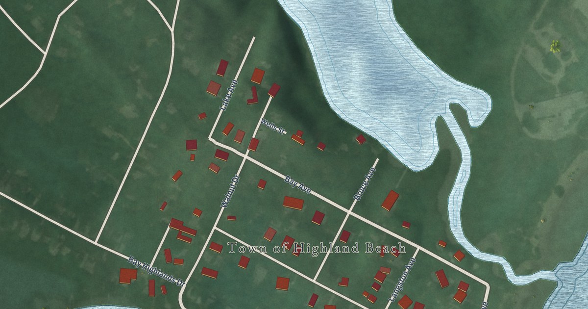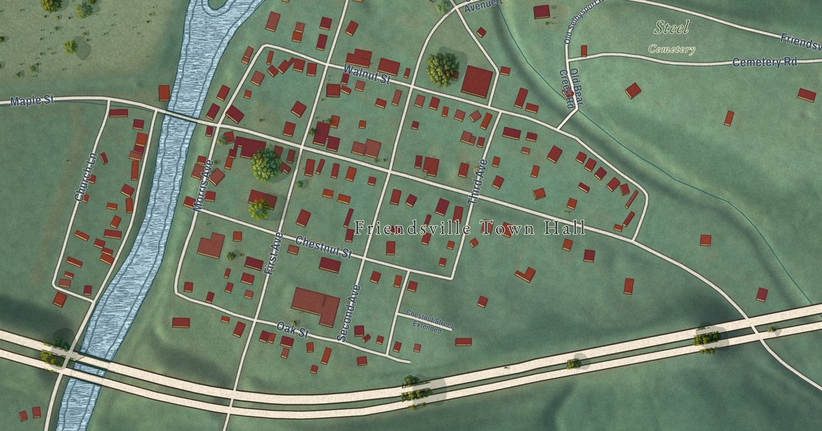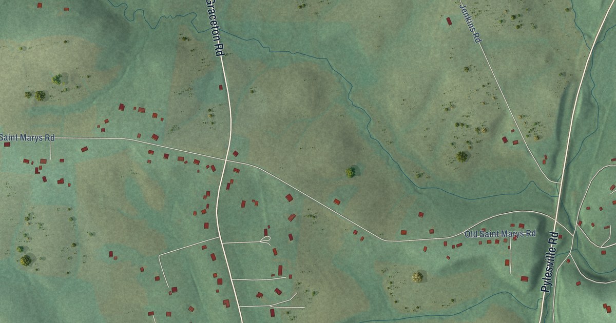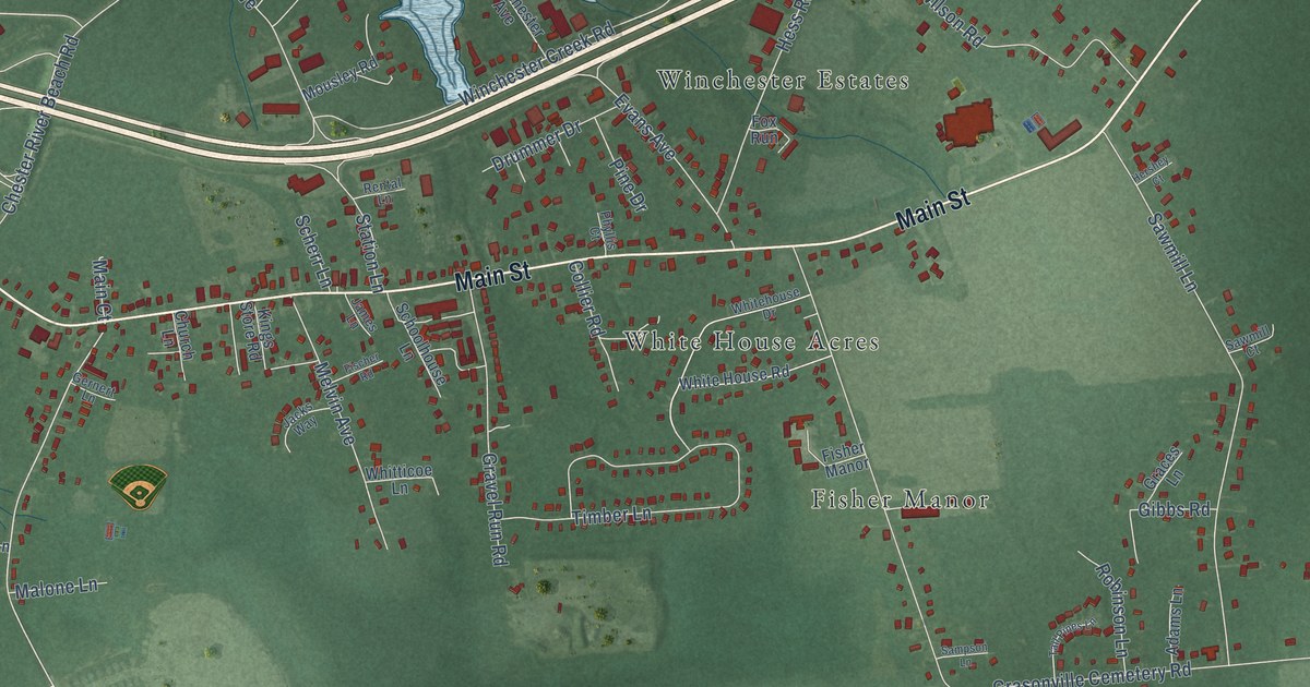
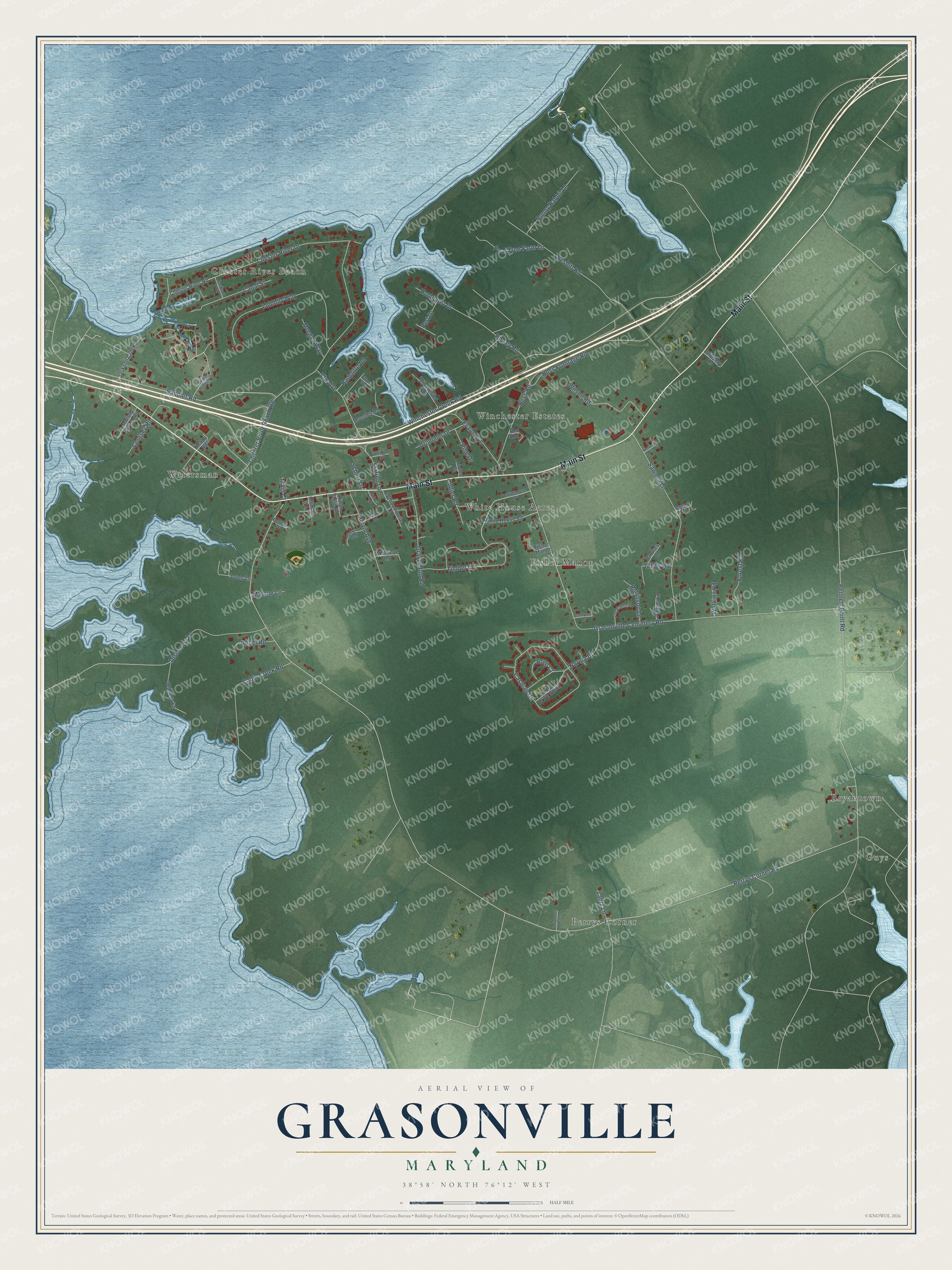
This beautifully detailed map of Grasonville, Maryland was created in 2026 using aerial imagery combined with modern topographical, census, street and landmark data. It's a modern aerial view of Grasonville in Queen Anne's County, Maryland, that combines modern data with a vintage aesthetic. The roads feature printed names, and if you look closely you can find your exact house accurately shown in its correct location.
Explore an aerial view of Grasonville, Maryland
On this map you'll find Guys, Chester River Beach, Perrys Corner, Watersman, Fisher Manor, Winchester Estates, White House Acres, Bryantown, Main Street, Saddler Road, Perrys Corner Road, Bennett Point Road, and more. Each red shape is a building, so zoom in on the preview and look for yours.
Grasonville has a story worth telling. The Maryland Historical Trust puts it this way: "In 1921, Winchester changed its name to Grasonville, in honor of William Grason, the 28th governor of Maryland and a native of Queen Anne's County." The town had grown up by the mid 1800s as Winchester, near the south end of Winchester Creek, and it was home to many watermen.
Grasonville is a community in Queen Anne's County. The Census Bureau counted 3,474 people here in 2020.
Take a closer look at the Grasonville map
Names on this map
These names are printed on this map.
Places: Guys, Chester River Beach, Perrys Corner, Watersman, Fisher Manor, Winchester Estates, White House Acres and Bryantown.
Streets and roads: Main Street, Saddler Road, Perrys Corner Road, Bennett Point Road, Grasonville Cemetery Road, Winchester Creek Road, Chester River Beach Road, Nesbitt Road, Chester River Drive, Sawmill Lane, Caspian Drive, Timber Lane.
More street names, A to Z
Adams Lane, Beach Harbor Drive, Bree Court, Bunny Rabbit Lane, Cabin Creek Road, Canal Street, Chester River Road, Church Lane, Collier Road, Coursey Road, Discovery Lane, Drummer Drive, Evans Avenue, Fischer Road, Forest Road, Fox Run, Gernert Lane, Gibbs Road, Graces Lane, Gravel Run Road, Hershey Court, Hess Frontage Road, Hess Road, Hissey Road, Holly Lane Acres, Homeport Drive, Jackson Creek Road, Jackson Road, Jacks Way, James Lane, Jones Lane, Kings Store Road, Knapp Road, Lantz Lane, Loblolly Way, Main Court, Malone Lane, Marshy Creek Road, Melvin Avenue, Morgan Way, Mousley Road, Narnia Drive, Narnia Drive South, Pear Tree Farm Lane, Phyllis Court, Pine Drive, Port Drive, Radcliffe Road, Rebel Road, Rental Lane, Robinson Lane, Sampson Lane, Sawmill Court, Scherr Lane, Schoolhouse Lane, Slippery Lane, Station Lane, Tall Pines Lane, Tiffany Way, Vfw Avenue, Wanuga Lane, Watkins Road, Whitehouse Drive, White House Road, Whitticoe Lane, Wilson Road, Winchester Avenue.
See it on a wall
The Grasonville map as a framed print. Swipe for more.


Created by KNOWOL in 2026. The buildings are small red shapes, the roads carry their printed names, and shaded relief shows the shape of the land. The title panel reads "AERIAL VIEW OF GRASONVILLE, MARYLAND" with 38°58' NORTH 76°12' WEST.
It looks right in a kitchen, an office or a den, and it's a gift for anyone who grew up in Grasonville or moved away. Open the preview and find your street. See sizes and frames for the Grasonville map.