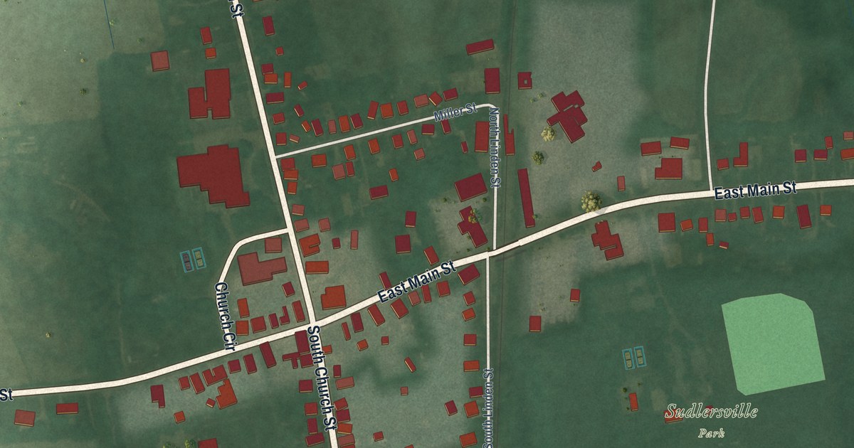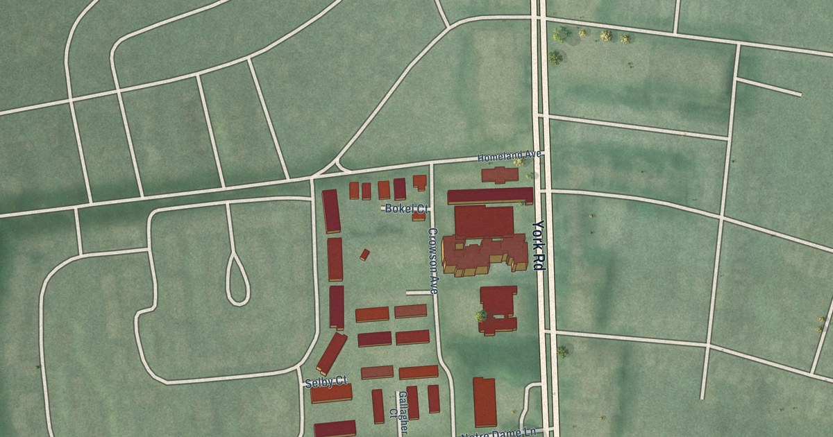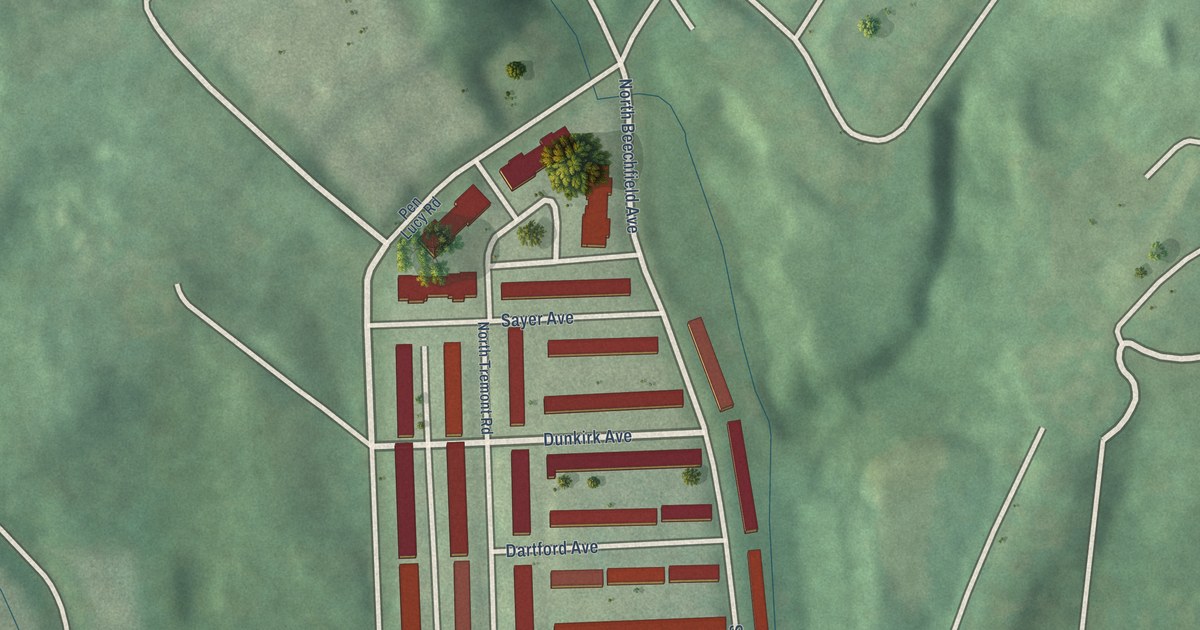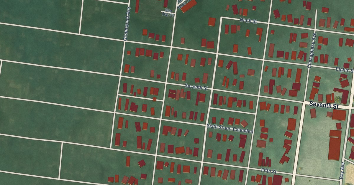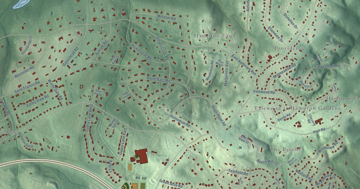
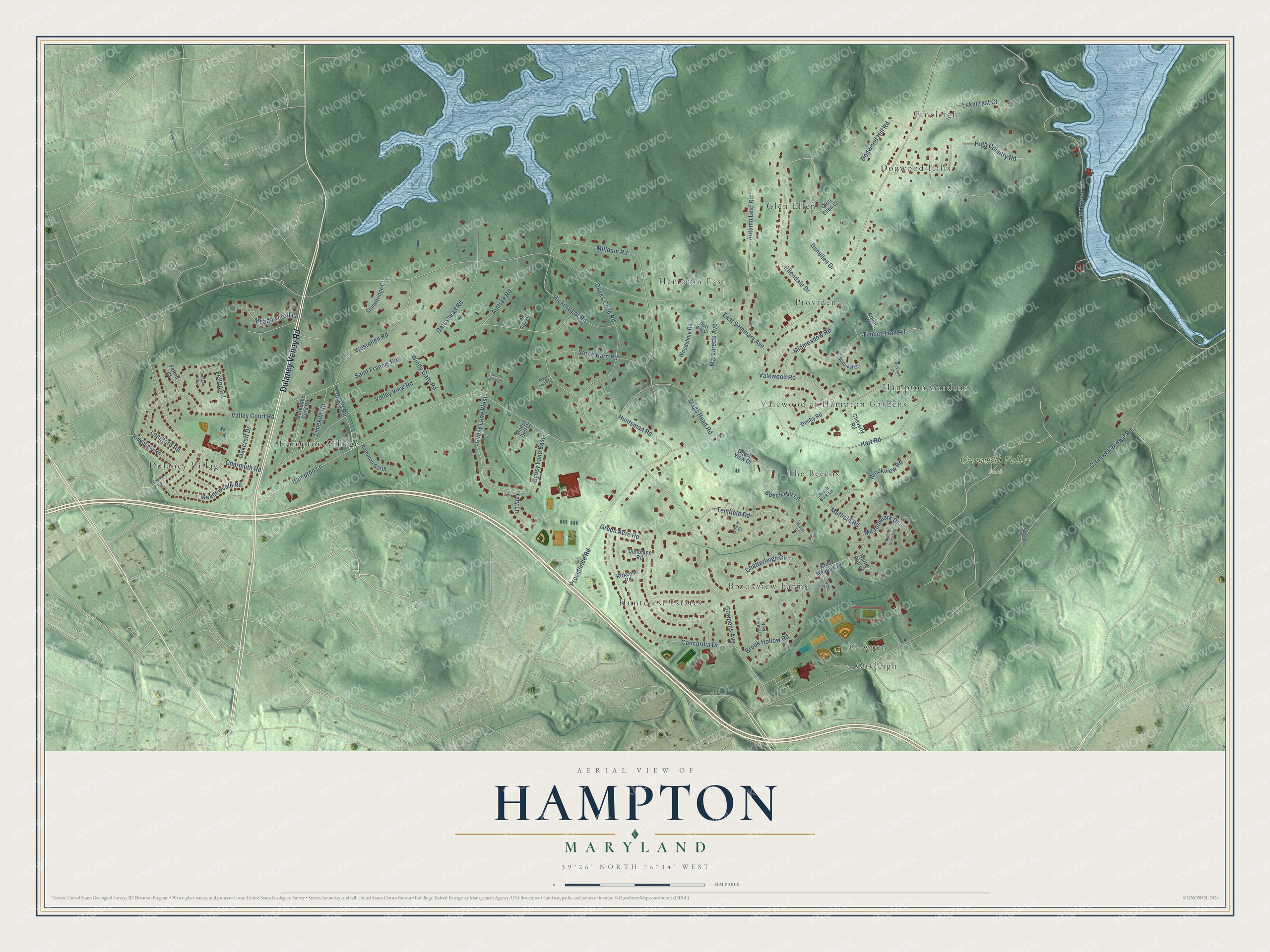
This beautifully detailed map of Hampton, Maryland was created in 2026 using aerial imagery combined with modern topographical, census, street and landmark data. It's a modern aerial view of Hampton in Baltimore County, Maryland, that combines modern data with a vintage aesthetic. The roads feature printed names, and if you look closely you can find your exact house accurately shown in its correct location.
Explore an aerial view of Hampton, Maryland
On this map you'll find Cromwell Valley Park, Dulaney Village, Huntcrest Estates, Glen Ellen, The Beechs, Hampton East, Oakleigh, Dogwood Hills, Hampton Village, Providence, Valewood at Hampton Gardens, Brookview Farms, and more. Each red shape is a building, so zoom in on the preview and look for yours.
Every town has a first chapter, and Hampton is no exception. Hampton Mansion was built between 1783 and 1790 for Captain Charles Ridgely, who made much of his fortune supplying iron to American forces during the Revolutionary War. It was one of the largest and most ornate houses built in the country before 1850. In 1929 John Ridgely Jr., the last master of Hampton, began selling parcels of the estate for suburban development. The mansion became a National Historic Site in 1948. That's from the Maryland Historical Trust.
Hampton is a community in Baltimore County. The Census Bureau counted 5,180 people here in 2020.
Take a closer look at the Hampton map
Names on this map
These names are printed on this map.
Places: Cromwell Valley Park, Dulaney Village, Huntcrest Estates, Glen Ellen, The Beechs, Hampton East, Oakleigh, Dogwood Hills, Hampton Village, Providence, Valewood at Hampton Gardens, Brookview Farms, Pineleigh, Hampton Gardens and Cowpen.
Streets and roads: Dulaney Valley Road, Hampton Lane, Cowpens Avenue, Providence Road, Cromwell Bridge Road, East Seminary Avenue, Loch Raven Drive, Saint Francis Road, Stags Head Road, Hart Road, Milldam Road, Concordia Drive.
More street names, A to Z
Aintree Road, Amiel Court, Autumn Leaf Road, Beech Bark Lane, Beech Hill Lane, Beech View Court, Brook Hollow Road, Brook Meadow Drive, Brookview Road, Carriage Walk Court, Charmuth Road, Chatterleigh Circle, Cheverly Road, Culvert Road, Denby Road, Dogwood Hill Road, Doragen Court, Doves Cove Road, Drake Court, Dunblane Road, Dunellen Drive, Ellendale Drive, Felton Court, Felton Road, Gateshead Road, Glen Ellen Court, Green Acre Road, Gypsy Lane East, Gypsy Lane West, Hampton Garth, Harts Run Court, Hickory Lot Road, High Country Road, Huntsman Road, Katy Lane, Kirkcolm Road, Lakecrest Court, Limekiln Road, Linlow Court, Longford Road, Margarette Avenue, Meadowcroft Lane, Meadowlark Drive, Meadowvale Road, Merediths Ford Road, Metfield Road, Midcrest Court, Midmeadow Road, New Forest Court, Oakcroft Drive, Pickford Court, Post Boy Court, Red Fox Court, Ridgefield Road, Ruffed Grouse Court, Sleepy Dell Court, Stags Head Court, Stone Barn Court, Stone Barn Road, Stonebridge Court, Temfield Road, Tenbury Road, Timber Trail Road, Valewood Road, Valley Court Road, Valley View Road, Waller Court, Westellen Road, Windy Gate Road, Woodshole Road.
See it on a wall
The Hampton map as a framed print. Swipe for more.


Created by KNOWOL in 2026. The buildings are small red shapes, the roads carry their printed names, and shaded relief shows the shape of the land. The title panel reads "AERIAL VIEW OF HAMPTON, MARYLAND" with 39°26' NORTH 76°34' WEST.
Hang it in the hallway, the office or the cabin, or give it to someone who left Hampton and still calls it home. Open the preview and look for a street you know. See sizes and frames for the Hampton map.