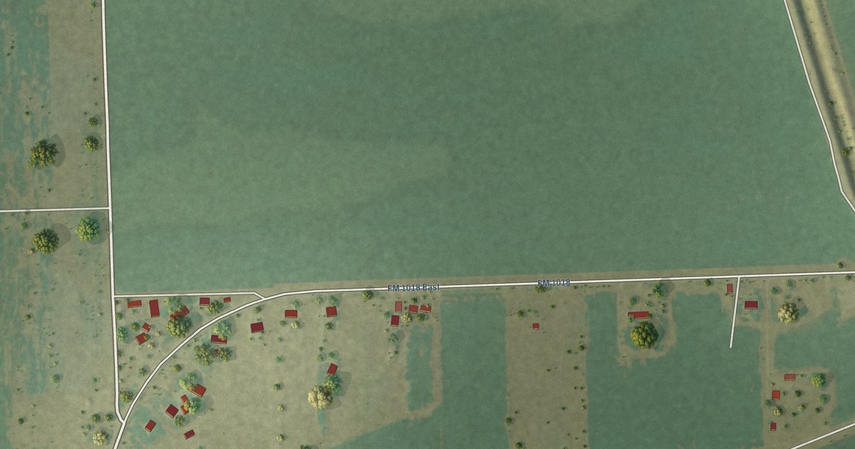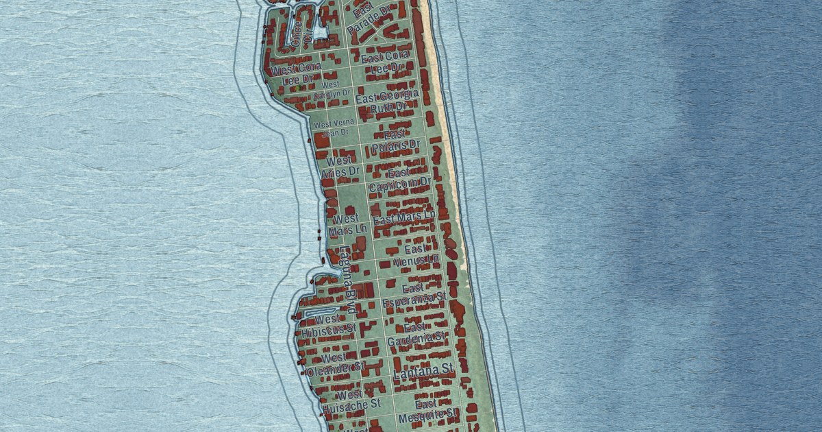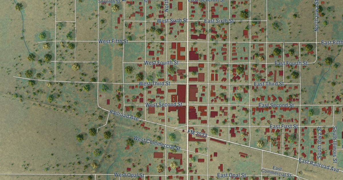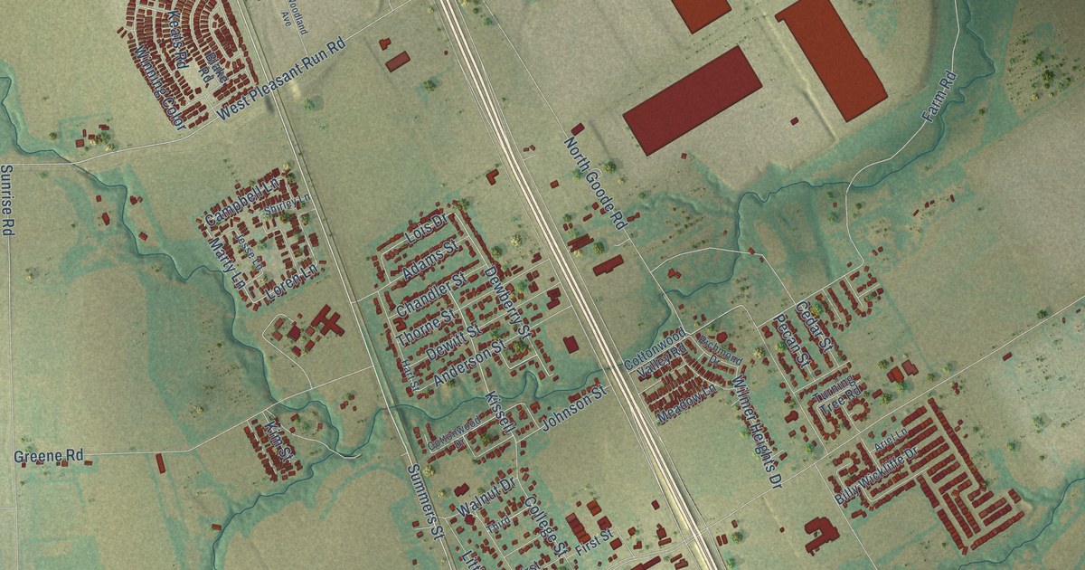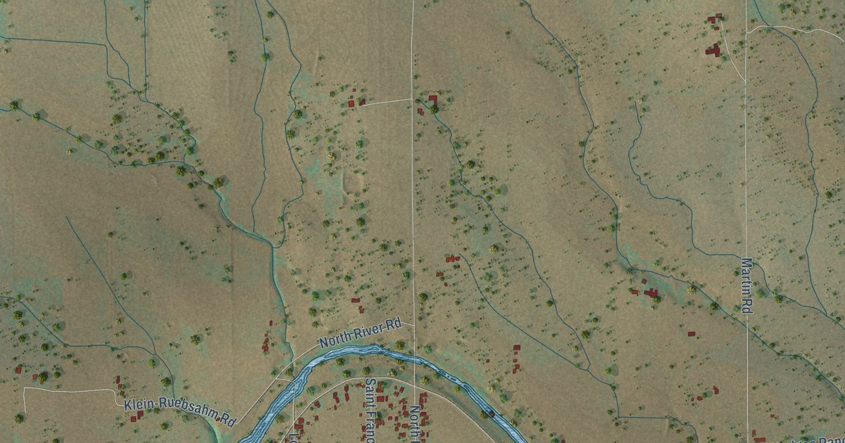
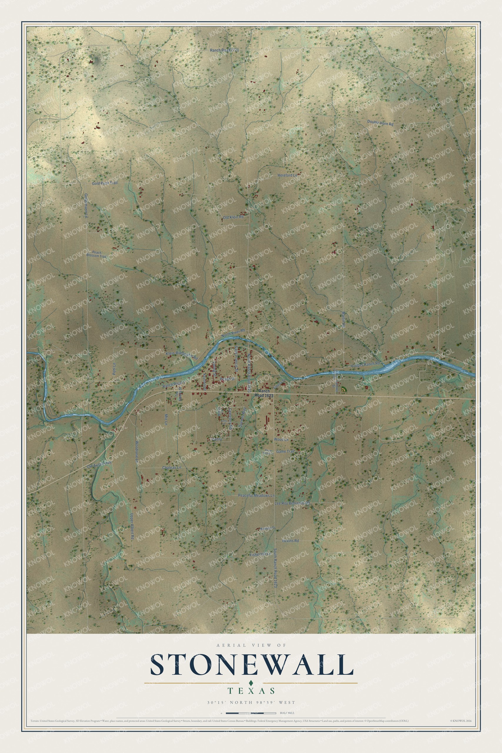
This beautifully detailed map of Stonewall, Texas was created in 2026 using aerial imagery combined with modern topographical, census, street and landmark data. It's a modern aerial view of Stonewall in Gillespie County, Texas, that combines modern data with a vintage aesthetic. The roads feature printed names, and if you look closely you can find your exact house accurately shown in its correct location.
Explore an aerial view of Stonewall, Texas
On this map you'll find Hodges Ranch Road, North River Road, Gellermann Lane, North Ranch Road 1623, Upper Albert Road, Ranch Road 1, Ranch Road 2721, South Ranch Road 1623, Double Horn Road, Martin Road, Klein-Ruebsahm Road, Mte Lane, and more. Each red shape is a building, so zoom in on the preview and look for yours.
Every town has a first chapter, and Stonewall is no exception. Stonewall was named for Thomas J. Stonewall Jackson by Israel Nuñez, who set up a stage station near the site in 1870 and a post office in 1875. Its German settlers raised sheep and cattle and experimented with fruit trees, and the Stonewall area became a major source of peaches. Andreas Lindig built the first lime kiln in Gillespie County at Stonewall, and the other settlers learned from him how to make lime. That's from the Handbook of Texas.
Stonewall is a community in Gillespie County. The Census Bureau counted 451 people here in 2020.
Take a closer look at the Stonewall map
Names on this map
These names are printed on this map.
Streets and roads: Hodges Ranch Road, North River Road, Gellermann Lane, North Ranch Road 1623, Upper Albert Road, Ranch Road 1, Ranch Road 2721, South Ranch Road 1623, Double Horn Road, Martin Road, Klein-Ruebsahm Road, Mte Lane.
More street names, A to Z
Cantu, Cantu Lane, Cemetery Road, Chateau Lane, Coronet Street, Elberta Street, Fishel Hill Lane, Game Trail, Gold Rush Trail, Hereford Lane, Keystone Street, Lee Roy Behrends Road, Loring Street, Monica Lane, Nevins Road, Nielsen Drive, Old Austin Highway, Old Klein Road, Peaceful Meadows Lane, Peach Blossom Trail, Peach Street, Pecan Springs Lane, Pehl Lane, Queens Way, Ranch Road 1623, Saint Francis Street, State Park Road 49, Tex Elberta Street, Wood Lane, Woodrose Lane.
See it on a wall
The Stonewall map as a framed print. Swipe for more.


Created by KNOWOL in 2026. The buildings are small red shapes, the roads carry their printed names, and shaded relief shows the shape of the land. The title panel reads "AERIAL VIEW OF STONEWALL, TEXAS" with 30°15' NORTH 98°39' WEST.
Hang it in the hallway, the office or the cabin, or give it to someone who left Stonewall and still calls it home. Open the preview and look for a street you know. See sizes and frames for the Stonewall map.