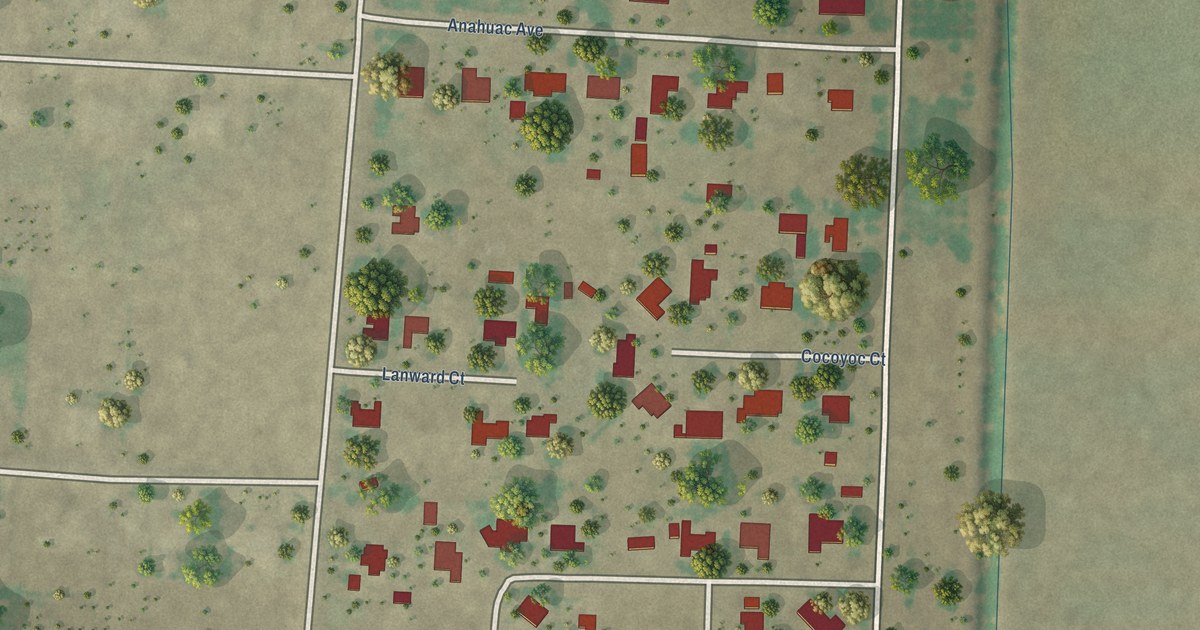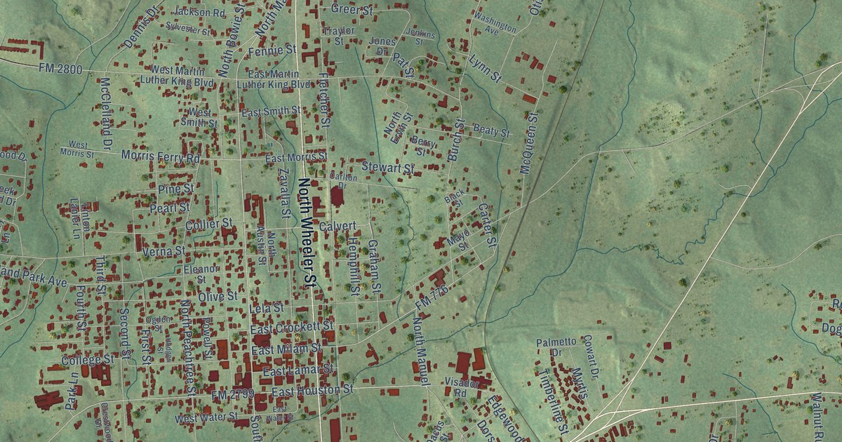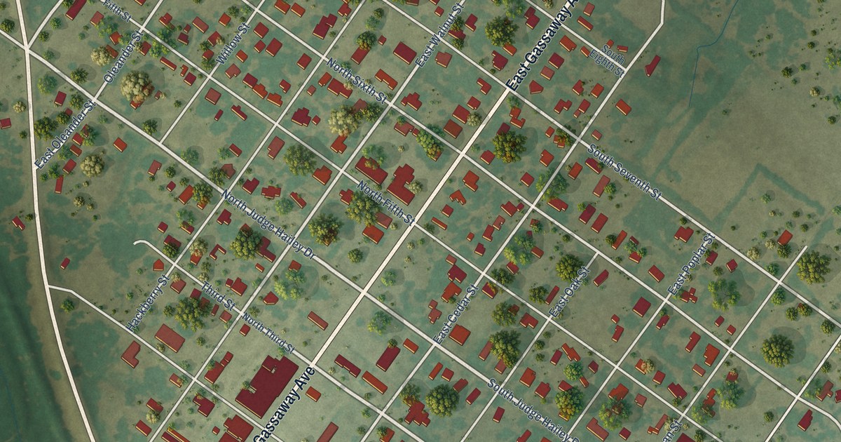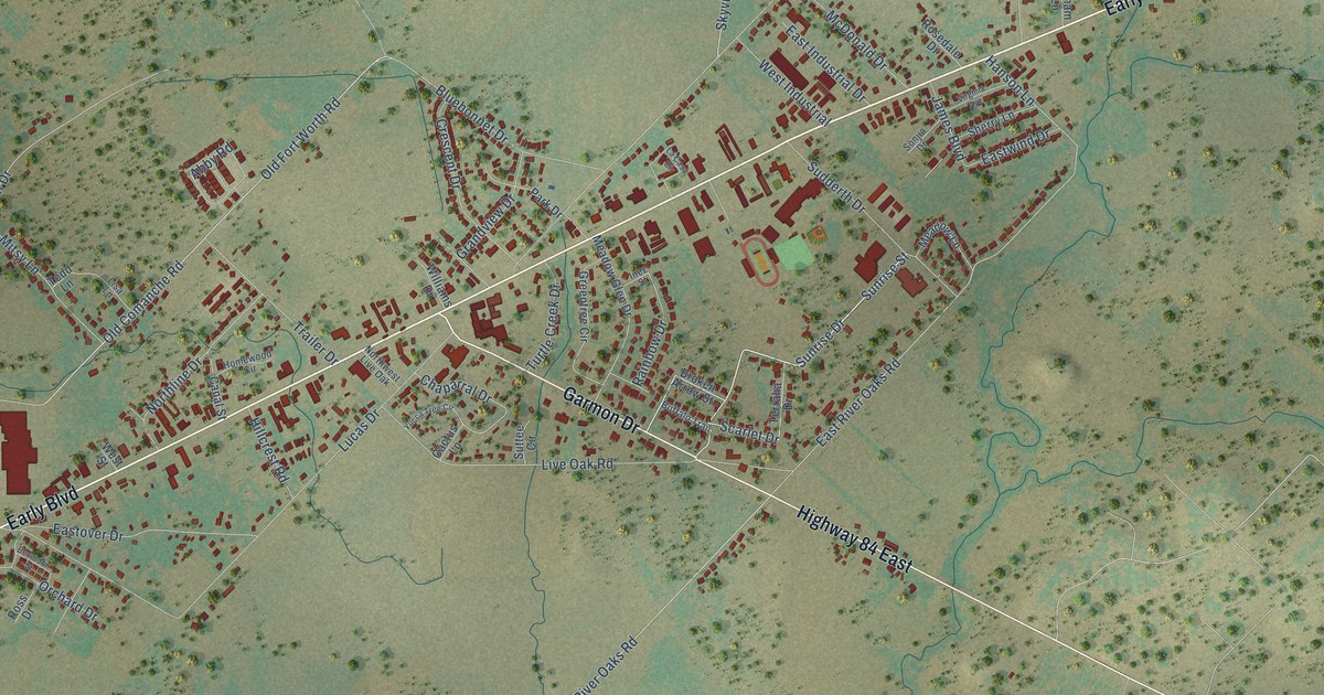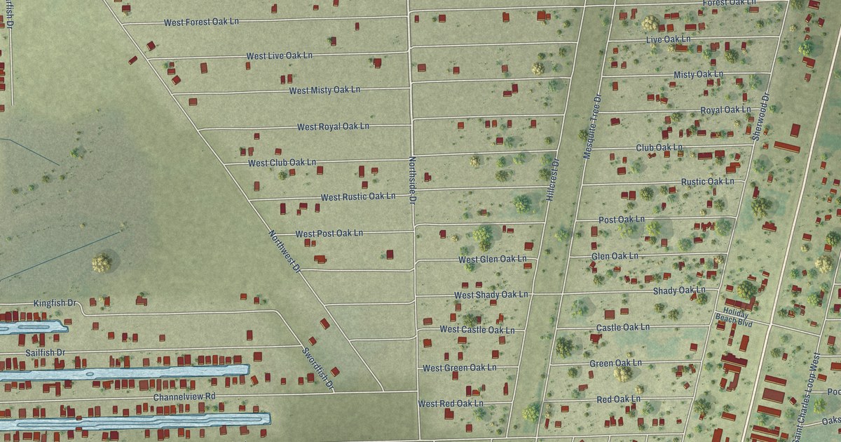
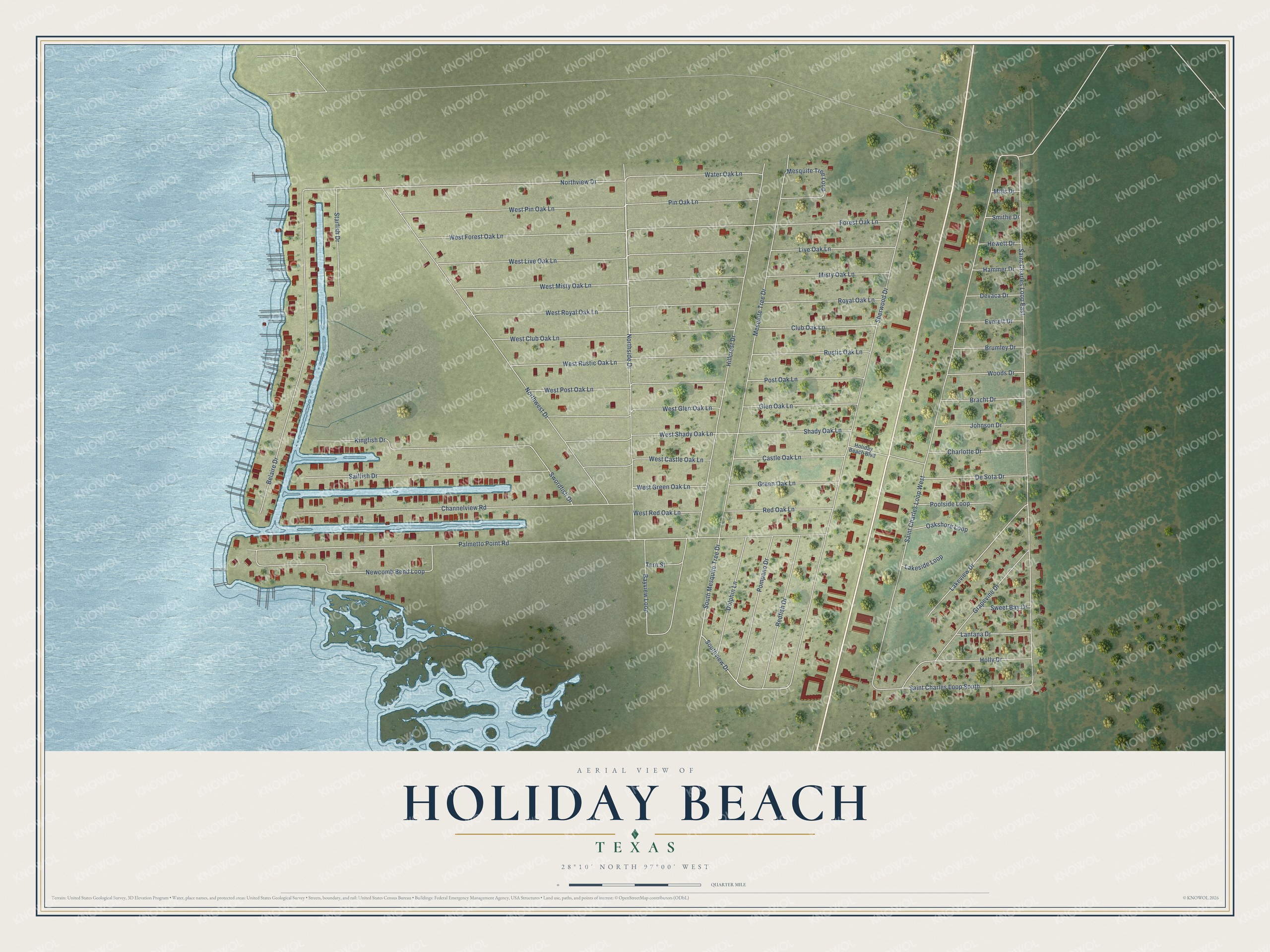
This beautifully detailed map of Holiday Beach, Texas was created in 2026 using aerial imagery combined with modern topographical, census, street and landmark data. It's a modern aerial view of Holiday Beach in Aransas County, Texas, that combines modern data with a vintage aesthetic. The roads feature printed names, and if you look closely you can find your exact house accurately shown in its correct location.
Explore an aerial view of Holiday Beach, Texas
On this map you'll find Northside Drive, Southview Drive, South Mesquite Tree Drive, Northview Drive, Palmetto Point Road, Saint Charles Loop West, Saint Charles Loop East, Sherwood Drive, Mesquite Tree Drive, Northwest Drive, Hillcrest Drive, Channelview Road, and more. Each red shape is a building, so zoom in on the preview and look for yours.
Holiday Beach has a story worth telling. The Handbook of Texas puts it this way: "Holiday Beach is a residential community located off State Highway 35 about eleven miles northeast of Rockport in Aransas County. This development on Copano Bay began in the mid-1960s when Dallas investors organized the Copano Land Company."
Holiday Beach is a community in Aransas County. The Census Bureau counted 526 people here in 2020.
Take a closer look at the Holiday Beach map
Names on this map
These names are printed on this map.
Streets and roads: Northside Drive, Southview Drive, South Mesquite Tree Drive, Northview Drive, Palmetto Point Road, Saint Charles Loop West, Saint Charles Loop East, Sherwood Drive, Mesquite Tree Drive, Northwest Drive, Hillcrest Drive, Channelview Road.
More street names, A to Z
Bayview Loop, Belaire Drive, Bracht Drive, Brumley Drive, Castle Oak Lane, Charlotte Drive, Club Oak Lane, De Sota Drive, Devaca Drive, Dolphin Lane, Everett Drive, Forest Oak Lane, Glen Oak Lane, Grapevine Drive, Green Oak Lane, Hammer Drive, Hewett Drive, Holiday Beach Boulevard, Holly Drive, Johnson Drive, Kingfish Drive, Lakeside Loop, Lakeview Drive, Lantana Drive, Live Oak Lane, Mesquite Tree Loop, Mills Drive, Misty Oak Lane, Newcomb Bend Loop, Oakshore Loop, Pin Oak Lane, Pompano Drive, Poolside Loop, Post Oak Lane, Redfish Drive, Red Oak Lane, Royal Oak Lane, Rustic Oak Lane, Sailfish Drive, Saint Charles Loop South, Shady Oak Lane, Smithe Drive, Starfish Drive, Sweet Bay Drive, Swordfish Drive, Tern Street, Water Oak Lane, West Castle Oak Lane, West Club Oak Lane, West Forest Oak Lane, West Glen Oak Lane, West Green Oak Lane, West Live Oak Lane, West Misty Oak Lane, West Pin Oak Lane, West Post Oak Lane, West Red Oak Lane, West Royal Oak Lane, West Rustic Oak Lane, West Shady Oak Lane, Woods Drive.
See it on a wall
The Holiday Beach map as a framed print. Swipe for more.


Created by KNOWOL in 2026. The buildings are small red shapes, the roads carry their printed names, and shaded relief shows the shape of the land. The title panel reads "AERIAL VIEW OF HOLIDAY BEACH, TEXAS" with 28°10' NORTH 97°00' WEST.
It looks right in a kitchen, an office or a den, and it's a gift for anyone who grew up in Holiday Beach or moved away. Open the preview and find your street. See sizes and frames for the Holiday Beach map.