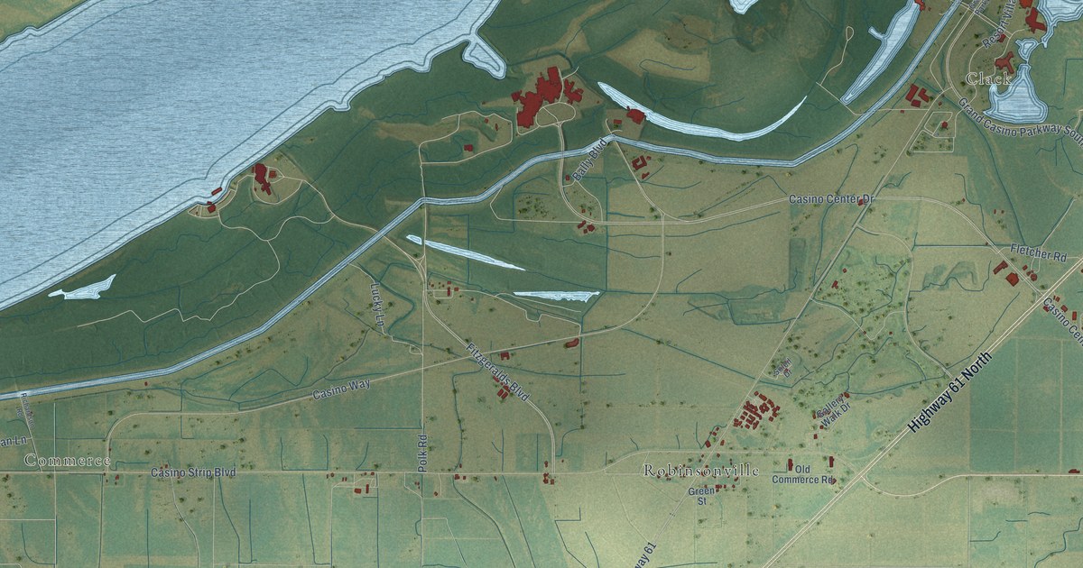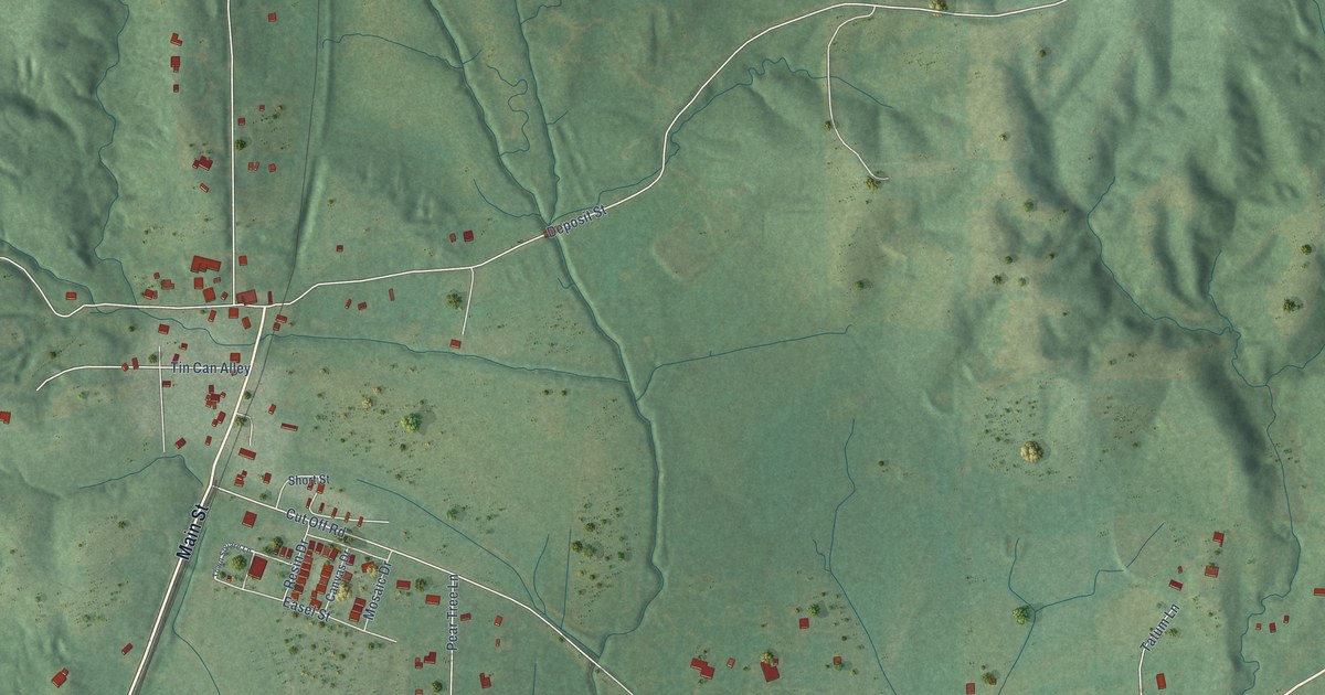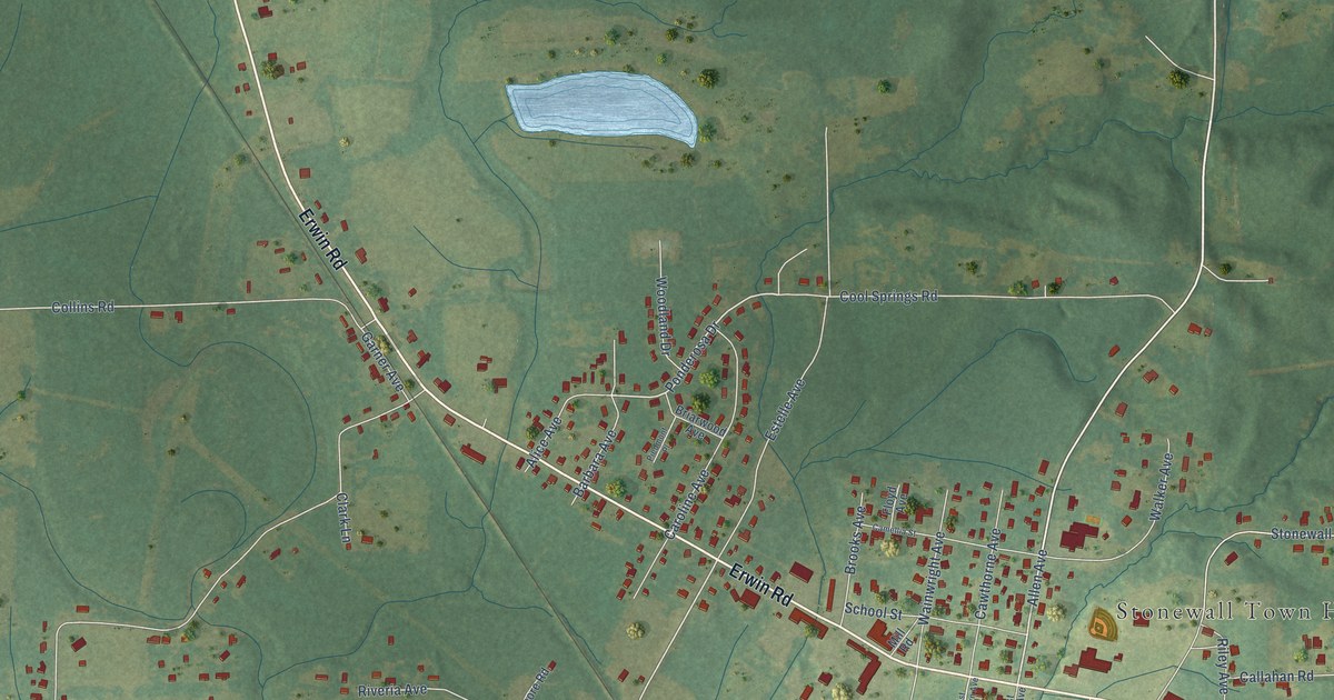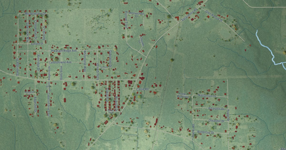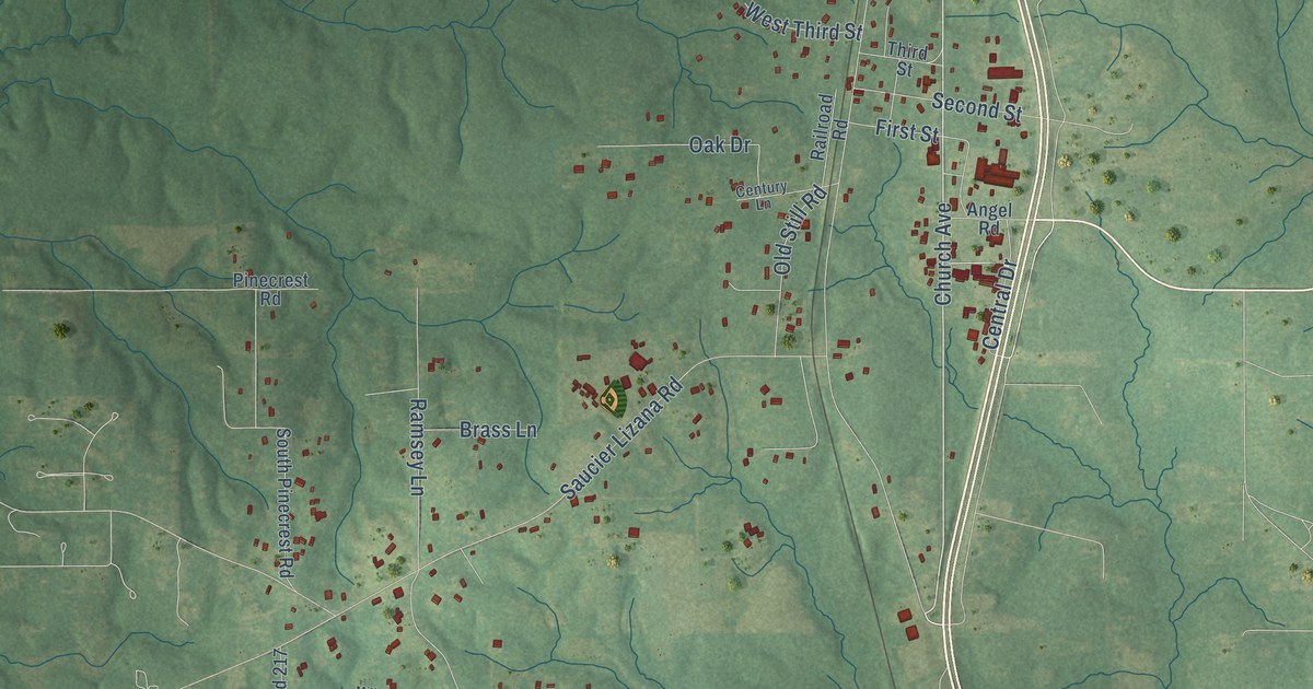
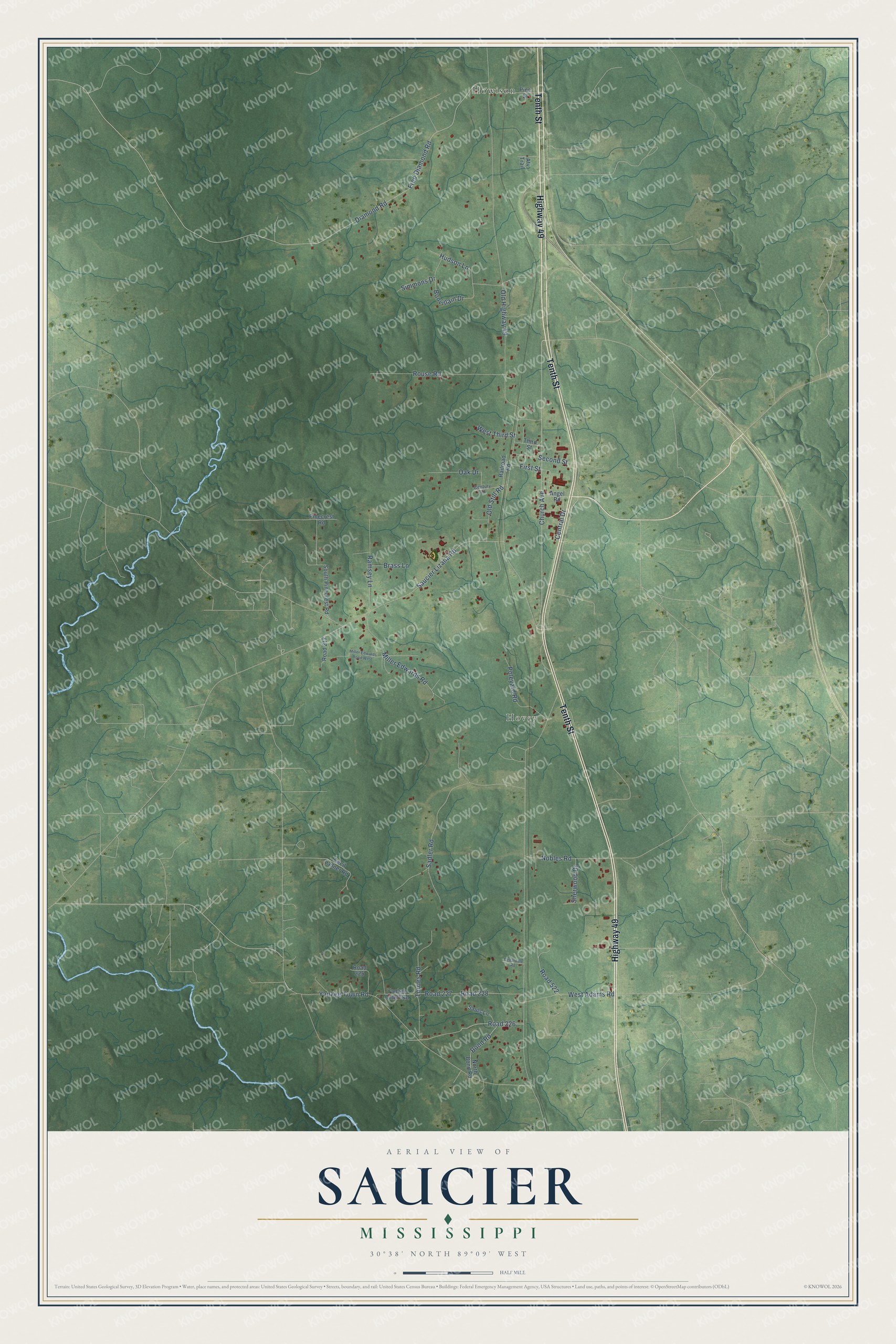
This beautifully detailed map of Saucier, Mississippi was created in 2026 using aerial imagery combined with modern topographical, census, street and landmark data. It's a modern aerial view of Saucier in Harrison County, Mississippi, that combines modern data with a vintage aesthetic. The roads feature printed names, and if you look closely you can find your exact house accurately shown in its correct location.
Explore an aerial view of Saucier, Mississippi
On this map you'll find Hovey, Howison, Tenth Street, Highway 49, Church Avenue, Road 226, Old Highway 49, Diamond Road, Fred Diamond Road, Yankee Town Road, Sadler Road, Saucier Lizana Road, and more. Each red shape is a building, so zoom in on the preview and look for yours.
Here is a piece of Saucier history. Saucier was settled by Phillip Saucier, a French Acadian in exile, when Pass Christian, the nearest town, was only a dot of a settlement. One of his sons built the family homestead where the town stands now. The house is gone, but the big oak that grew there and the roses and crape myrtles the son's wife planted outlasted it. The early Sauciers were a big family, and their descendants spread all through the area and along the Coast. That's from the Federal Writers Project.
Saucier is a community in Harrison County. The Census Bureau counted 1,077 people here in 2020.
Take a closer look at the Saucier map
Names on this map
These names are printed on this map.
Places: Hovey and Howison.
Streets and roads: Tenth Street, Highway 49, Church Avenue, Road 226, Old Highway 49, Diamond Road, Fred Diamond Road, Yankee Town Road, Sadler Road, Saucier Lizana Road, Miller Edwards Road, Rouse Road.
More street names, A to Z
Angel Road, Atv Trail, Bond Road, Bonvillain Drive, Brass Lane, Cecil Ladner Road, Cedardale Road, Central Drive, Century Lane, First Street, Hudson Lane, Miller Edwards Road West, Nobles Road, North Bond Road, Oak Drive, Old Still Road, Pinecrest Road, Pine Street, Poleyard Road, Railroad Road, Ramsey Lane, Road 217, Road 225, Road 227, Road 228, Road 522, Sauls Lane, Second Street, Sherwood Drive, Simmons Drive, South Pinecrest Road, Third Street, Torries Road, West Adams Road, West Third Street, Yankee Cutoff Road.
See it on a wall
The Saucier map as a framed print. Swipe for more.


Created by KNOWOL in 2026. The buildings are small red shapes, the roads carry their printed names, and shaded relief shows the shape of the land. The title panel reads "AERIAL VIEW OF SAUCIER, MISSISSIPPI" with 30°38' NORTH 89°09' WEST.
It suits a den, a classroom or a front hall, and it makes a gift for anyone with Saucier roots. Open the preview and find the block you know. See sizes and frames for the Saucier map.