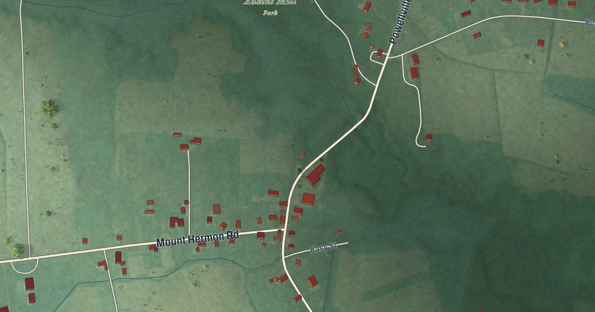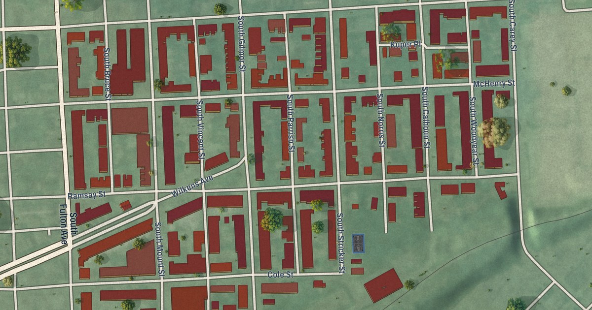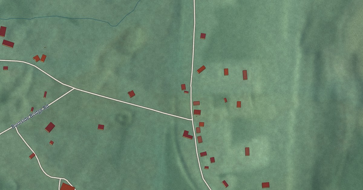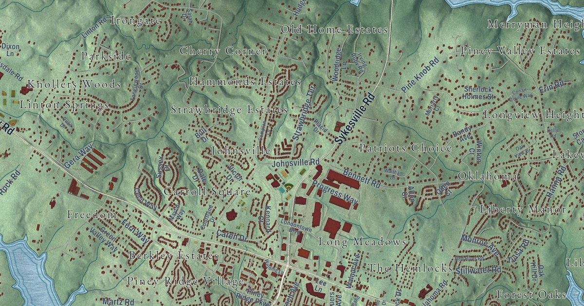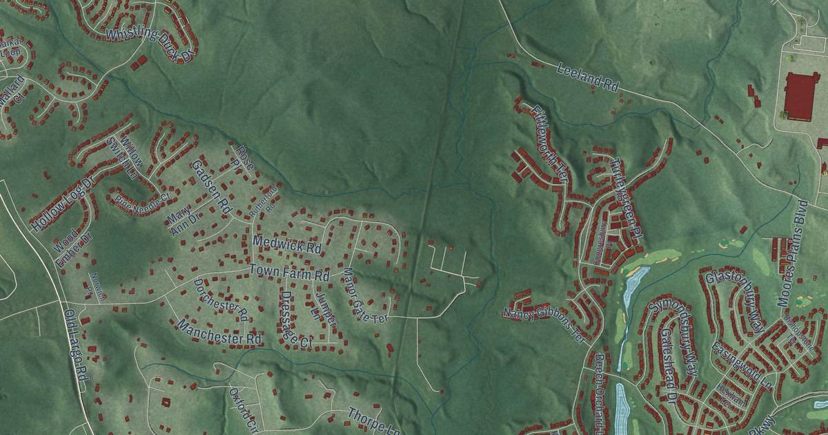
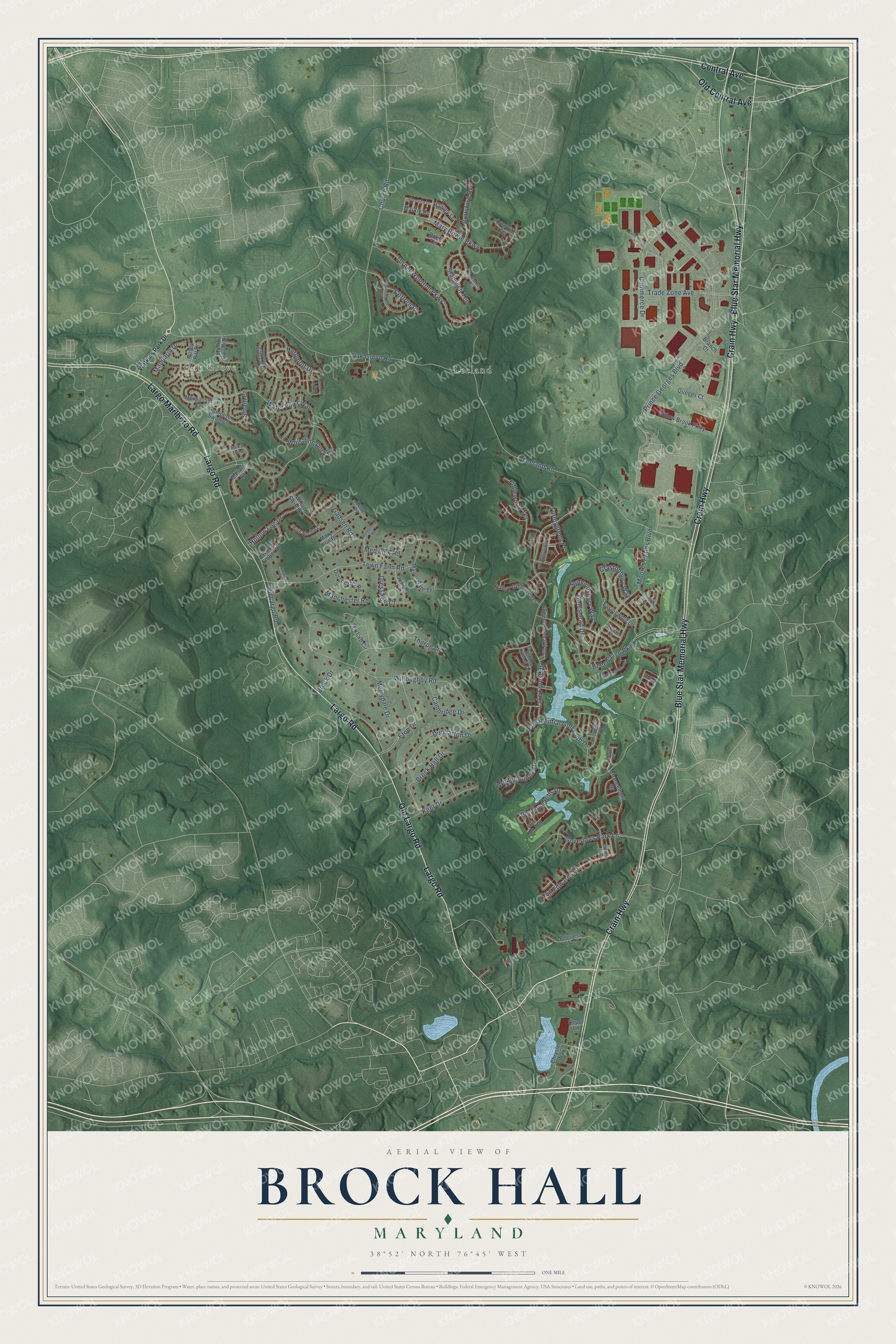
This beautifully detailed map of Brock Hall, Maryland was created in 2026 using aerial imagery combined with modern topographical, census, street and landmark data. It's a modern aerial view of Brock Hall in Prince George's County, Maryland, that combines modern data with a vintage aesthetic. The roads feature printed names, and if you look closely you can find your exact house accurately shown in its correct location.
Explore an aerial view of Brock Hall, Maryland
On this map you'll find Oak Grove, Leeland, Crain Highway, Blue Star Memorial Highway, Largo Road, Largo Marlboro Road, Central Avenue, Old Largo Road, Old Central Avenue, Prince Georges Boulevard, Leeland Road, Water Fowl Way, and more. Each red shape is a building, so zoom in on the preview and look for yours.
Every town has a first chapter, and Brock Hall is no exception. St. Barnabas Church on Oak Grove Road stands on the site of the first church of Queen Anne Parish, which the Maryland Assembly created in 1704. The present church was finished in 1774, and inside hangs The Last Supper, painted in 1721 by Gustavus Hesselius for the parish vestry. The parish's first log chapel gave way in 1710 to a brick church, the first brick church building in the county. That's from the Maryland Historical Trust.
Brock Hall is a community in Prince George's County. The Census Bureau counted 13,181 people here in 2020.
Take a closer look at the Brock Hall map
Names on this map
These names are printed on this map.
Places: Oak Grove and Leeland.
Streets and roads: Crain Highway, Blue Star Memorial Highway, Largo Road, Largo Marlboro Road, Central Avenue, Old Largo Road, Old Central Avenue, Prince Georges Boulevard, Leeland Road, Water Fowl Way, Oak Grove Road, Lake Forest Drive.
More street names, A to Z
Abbeville Place, Andean Goose Way, Baikal Loop, Beech Orchard Lane, Beech Tree Parkway, Bishopstone Terrace, Bolin Terrace, Bottsford Avenue, Branch Court, Brock Drive, Brock Hall Drive, Buck Lane, Burford Lane, Cambridge Drive, Chancelsors Drive, Chrysler Way, Church Road, Coffren Place, Commerce Court, Commerce Drive, Congresbury Place, Demotte Place, Depot Lane, Dorchester Road, Dormansville Boulevard, Dressage Court, Dunbarton Drive, Easingwold Lane, Effie Fox Way, Eton Drive, Finchingfield Way, Fittleworth Terrace, Gadsen Road, Galeshead Drive, George Hilleary Terrace, Glastonbury Way, Governors Park Lane, Hawley Lane, Hexham Terrace, Hollow Log Drive, Hotomtot Drive, Jumper Lane, Kent Drive, Lynnville Terrace, Mallard Court, Manchester Road, Mandarin Drive, Manor Gate Terrace, Manor House Drive, Markle Road, Mary Ann Drive, Mary Bowie Parkway, Medwick Road, Merganser Court, Merrydale Drive, Moores Plains Boulevard, Nancy Gibbons Terrace, Norwich Place, Oxford Circle, Peerless Avenue, Pentland Hills Drive, Pine Needle Court, Presidential Golf Club Drive, Queens Court, Ring Bill Loop, Rose Place, Rosey Bill Drive, Rutherford Road, Sir Edwards Drive, Sloain Court, Stanwich Terrace, Sunningdale Place, Symondsbury Way, Thorpe Lane, Tibberton Terrace, Town Farm Road, Trade Zone Avenue, Trumpeter Swan Court, Turleygreen Place, Turner Wootton Parkway, Wales Lane, Watkins Park Drive, Whistling Duck Drive, Willoughby Road, Willow Brook Parkway, Willow Switch Lane, Winterbourne Drive, Wood Ember Drive.
See it on a wall
The Brock Hall map as a framed print. Swipe for more.


Created by KNOWOL in 2026. The buildings are small red shapes, the roads carry their printed names, and shaded relief shows the shape of the land. The title panel reads "AERIAL VIEW OF BROCK HALL, MARYLAND" with 38°52' NORTH 76°45' WEST.
Hang it in the hallway, the office or the cabin, or give it to someone who left Brock Hall and still calls it home. Open the preview and look for a street you know. See sizes and frames for the Brock Hall map.