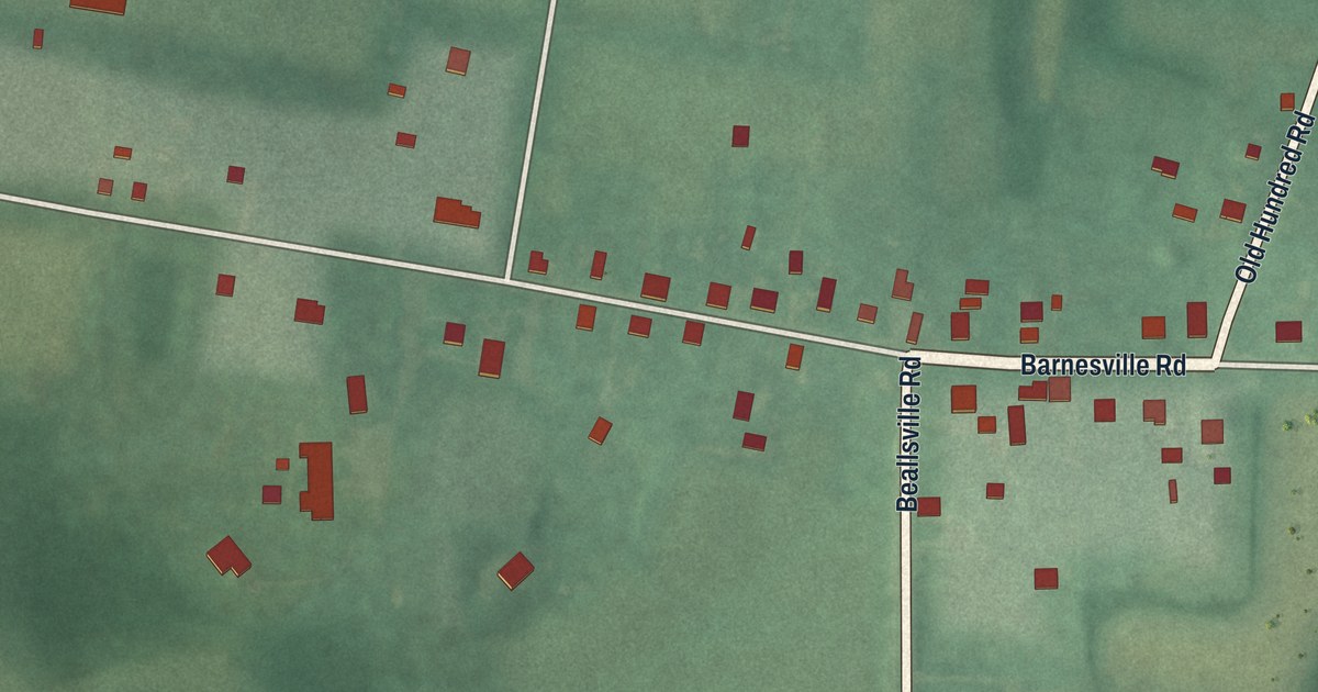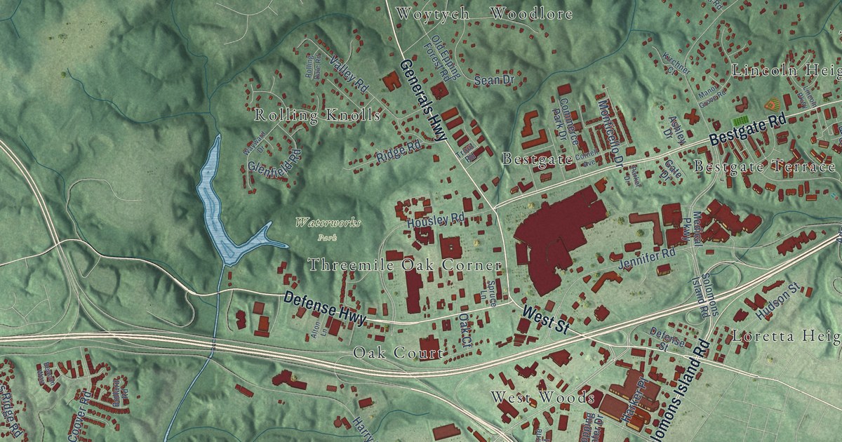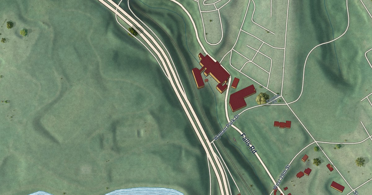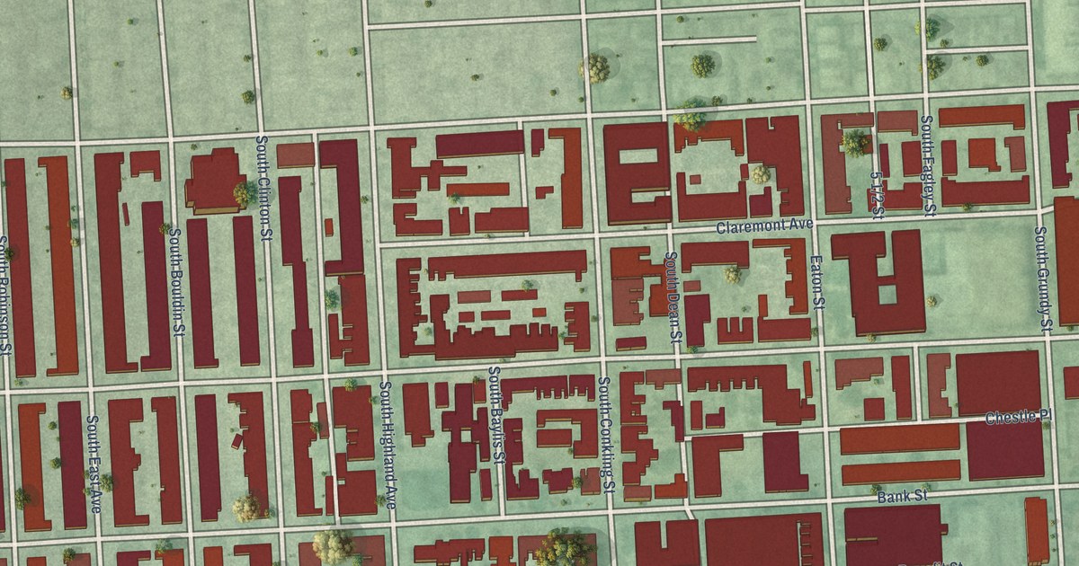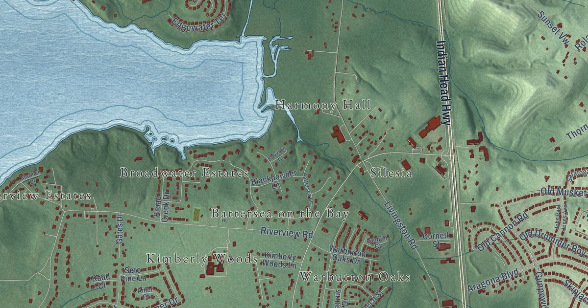
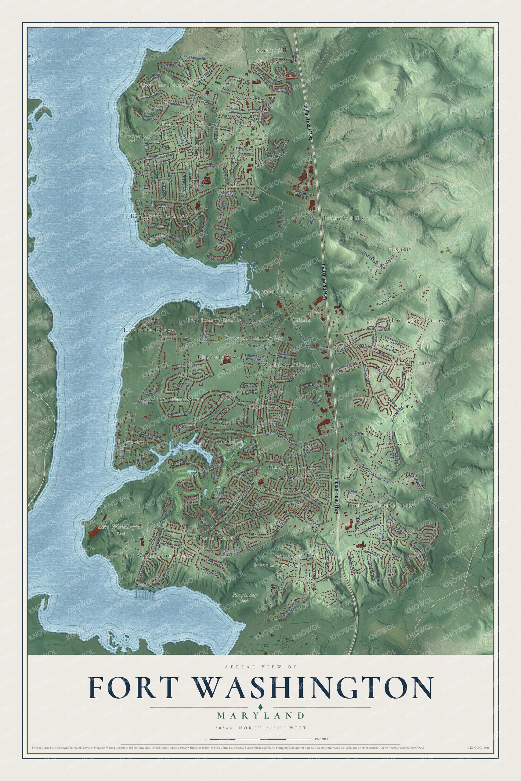
This beautifully detailed map of Fort Washington, Maryland was created in 2026 using aerial imagery combined with modern topographical, census, street and landmark data. It's a modern aerial view of Fort Washington in Prince George's County, Maryland, that combines modern data with a vintage aesthetic. The roads feature printed names, and if you look closely you can find your exact house accurately shown in its correct location.
Explore an aerial view of Fort Washington, Maryland
On this map you'll find Brooke Manor, River Bend Estates, Fort Foote Park, Fort Washington Park, Piscataway Park, Jomar Acres, Riverview Estates, Fort Foote Estates, Harmony Hall, Warburton Manor, Riverview, Friendly Hills, and more. Each red shape is a building, so zoom in on the preview and look for yours.
Every town has a first chapter, and Fort Washington is no exception. The first fort on the grounds of today's Fort Washington Park was Fort Warburton, built from 1809 to guard the Potomac River approach to the capital. In August 1814, as British warships sailed up the Potomac, Capt. Samuel Dyson pulled out his garrison and demolished the fort so it couldn't fall into British hands. The fort was rebuilt as Fort Washington, and its main construction was finished on October 2, 1824. That's from the National Park Service.
Fort Washington is a community in Prince George's County. The Census Bureau counted 24,261 people here in 2020.
Take a closer look at the Fort Washington map
Names on this map
These names are printed on this map.
Places: Brooke Manor, River Bend Estates, Fort Foote Park, Fort Washington Park, Piscataway Park, Jomar Acres, Riverview Estates, Fort Foote Estates, Harmony Hall, Warburton Manor, Riverview, Friendly Hills, Piscataway Estates, Indian Queen Estates, Warburton Oaks, Tantallon North, Tantallon Square, Tantallon Hills, Friendly Farms, Broadwater Estates, Fort Washington Forest, New Glatz, Tantallon, Friendly, Battersea on the Bay, Kerby Hill, Tantallon South, Silesia, Fort Washington Estates, Kimberly Woods, Fort Foote Village, Chapel Hill and Piscataway Hills.
Streets and roads: Indian Head Highway, Fort Washington Road, Gunpowder Drive, Old Fort Road, Livingston Road, Fort Foote Road, Riverview Road, Asbury Drive, Oxon Hill Road, Aragona Boulevard, Swan Creek Road, Piscataway Drive.
More street names, A to Z
Adams Drive, Ambrose Lane, Amer Court, Amer Drive, Aqua Lynn Drive, Aragona Drive, Arrow Park Drive, Arthur Drive West, Aten Street, Autumn Lake Way, Autumnwood Lane, Baron Court, Battersea Lane, Bay Front Drive, Bayview Court, Beech Street, Bella Vista Terrace, Bion Drive, Bismark Drive, Bizet Court, Blackberry Drive, Blackpowder Lane, Bluffwood Lane, Bogota Drive, Bonhill Drive, Bonnie Meadow Lane, Braeburn Drive, Branchview Drive, Brentwood Drive, Bricker Drive, Broad Creek Church Road, Broad Creek Drive, Buchanan Drive, Cady Drive, Cagle Road, Calvert Lane, Carnoustie Lane, Cascade Drive, Chalfont Avenue, Clarion Road, Clay Drive, Clear Creek Drive, Coldwater Drive, Colfax Drive, Colleen Court, Cooper Drive, Cornett Street, Crossbow Road, Cross Foxes Drive, Dauphin Drive, Dias Drive, Digges Lane, Dover Street, Eagle Head Drive, Edgewater Terrace, El Camino Way, Emerald Hill Drive, Fillmore Road, Flagship Avenue, Flaim Lane, Fortside Drive, Founders Terrace, Foundry Lane, Friar Road, Gable Lane, Gallahan Road, Gates Drive, Gemini Court, Glasgow Court, Glasgow Way, Gleneagles Drive, Hadrian Lane, Hallwood Place, Halyard Place, Harrison Avenue, Hatton Point Road, Hickory Drive, Hollybank Drive, Holly Road, Horizon Court, Hurtt Place, Indian Queen Point Road, Inverness Lane, Ishtar Street, Ivanhoe Road, Jackson Drive, Jefferson Road, Jessica Drive, John Paul Jones Avenue, Kaydot Road, Kerby Hill Road, Kerby Parkway, Kimberly Woods Lane, King Charles Terrace, Kings Lane, Kisconko Turn, Kris Ran Court, Lamarck Drive, Lampton Lane, Lancelot Road, Lark Lane, Lee Road, Lenfant Drive, Lira Drive, Lismore Drive, Locksley Road, Longbow Road, Loughran Road, Macduff Drive, Mace Drive, Maher Drive, Major King Lane, Marge Court, Mariner Drive, Merton Trail, Messina Drive, Monroe Avenue, Monterey Circle, Montezuma Drive, National Harbor Boulevard, Neon Road, Neville Place, Nevin Lane, Newmont Street, North Star Drive, Norwood Lane, Notley Road, Oak Lane, Old Cannon Road, Old Drummer Boy Lane, Old Musket Lane, Old Piscataway Road, Orchard Hill Drive, Othman Drive, Park Lane, Parkton Court, Parkton Street, Pates Drive, Peace Drive, Pendleton Street, Pine Road, Pitt Drive, Pocahontas Drive, Potomac Drive, Potomac Ridge Drive, Potomac Valley Drive, Prestwick Drive, Proxmire Drive, Quatar Street, Queens Lane, Raad Court, Radburn Place, Red Coat Place, Reid Circle, Rexburg Avenue, Rhame Drive, Rich Hill Drive, River Bend Road, Riverside Drive, Roland Lane, Rooster Lane, Rosier Road, Round Table Drive, Saint Andrews Drive, Sandy Bar Drive, Sandy Creek Road, Saratoga Court, Sero Estates Drive, Sero Pine Lane, Shore Drive, Skipjack Drive, Split Rock Lane, Stag Way, Stony Hill Court, Sunfield Terrace, Sunset Vw, Surrey Circle Drive, Swan Creek Road East, Syria Court, Tartan Lane, Taurus Drive, Taylor Avenue, Taylor Lane, Thomas Road, Thorne Drive, Tioga Road, Traverse Way, Tregiovo Place, Van Buren Drive, Venango Road, Warburton Drive, Warburton Lane, Warburton Oaks Drive, Wedgewood Drive, Wenzel Lane, West Fort Foote Terrace, West Tantallon Drive, Willow Wood Drive, Wrigley Place.
See it on a wall
The Fort Washington map as a framed print. Swipe for more.


Created by KNOWOL in 2026. The buildings are small red shapes, the roads carry their printed names, and shaded relief shows the shape of the land. The title panel reads "AERIAL VIEW OF FORT WASHINGTON, MARYLAND" with 38°44' NORTH 77°00' WEST.
Hang it in the hallway, the office or the cabin, or give it to someone who left Fort Washington and still calls it home. Open the preview and look for a street you know. See sizes and frames for the Fort Washington map.