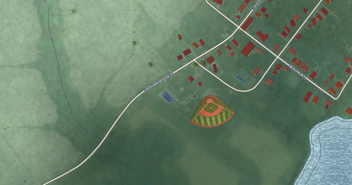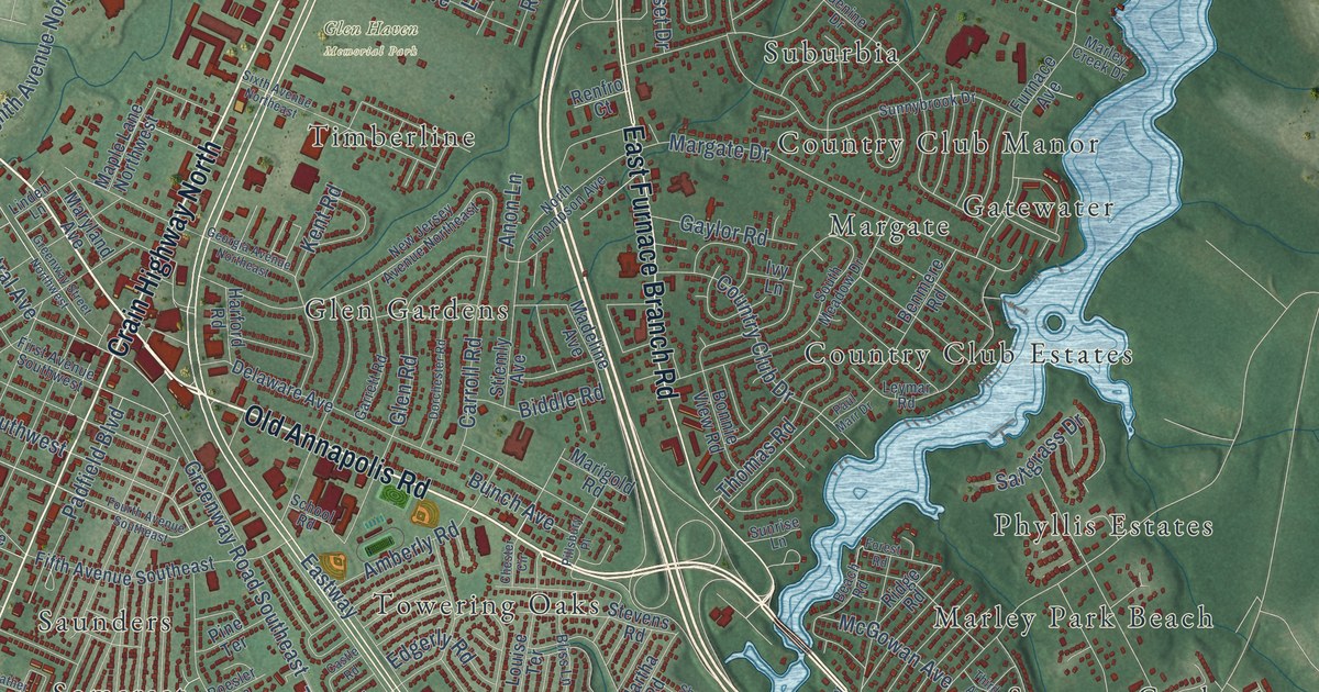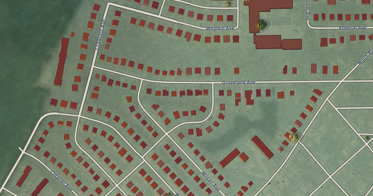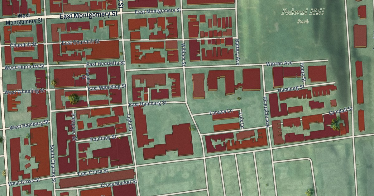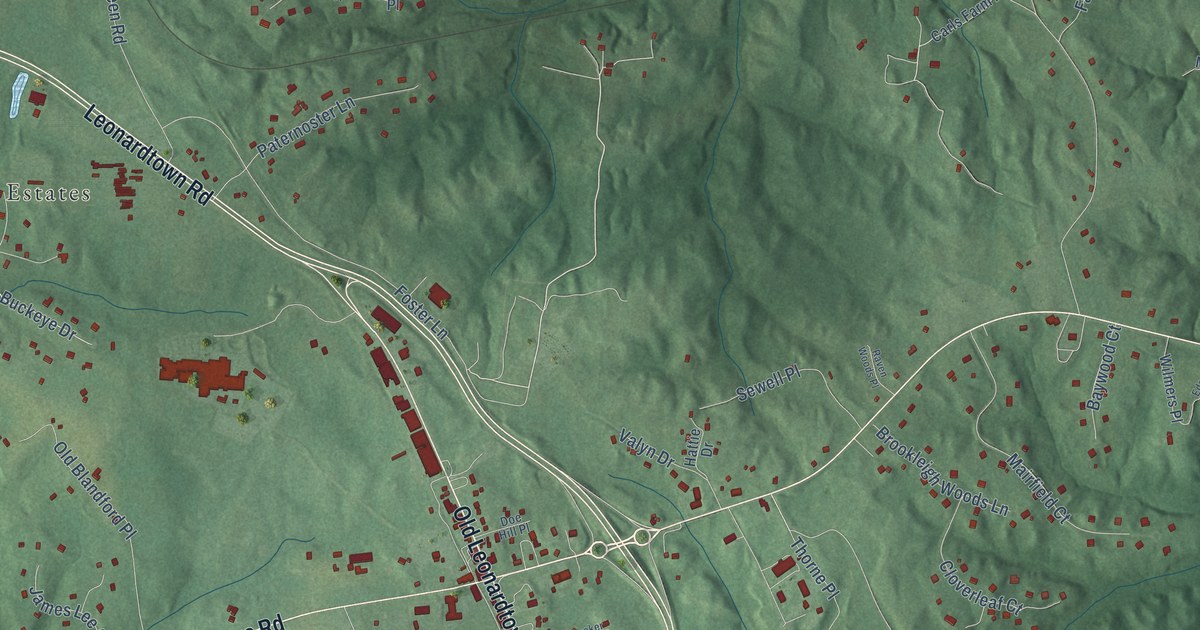
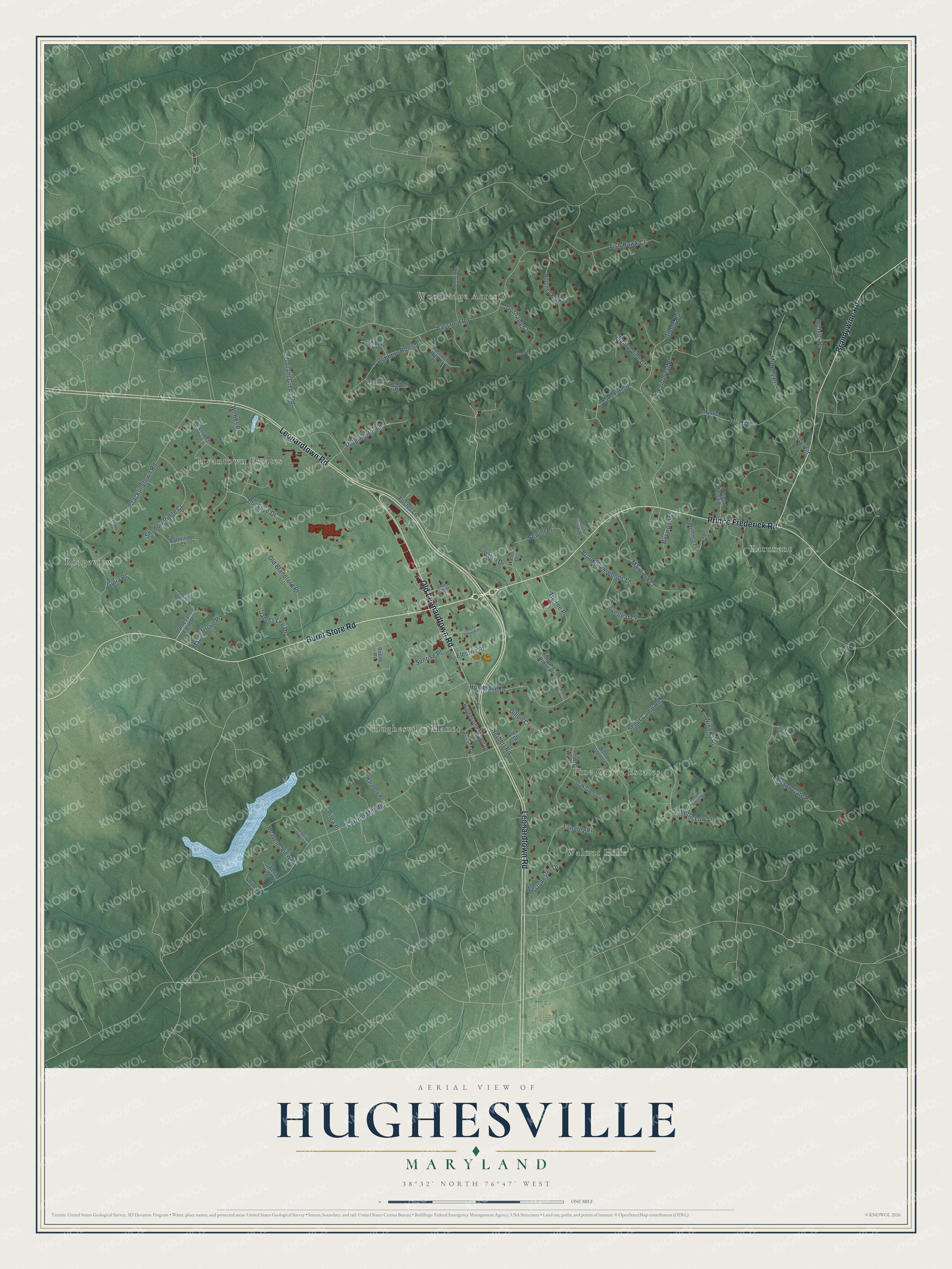
This beautifully detailed map of Hughesville, Maryland was created in 2026 using aerial imagery combined with modern topographical, census, street and landmark data. It's a modern aerial view of Hughesville in Charles County, Maryland, that combines modern data with a vintage aesthetic. The roads feature printed names, and if you look closely you can find your exact house accurately shown in its correct location.
Explore an aerial view of Hughesville, Maryland
On this map you'll find Bryantown Estates, Patuxent, Walnut Hills, Woodridge Acres, Ridgeview, Pine Grove Estates, Hughesville Manor, Prince Frederick Road, Old Leonardtown Road, Leonardtown Road, Burnt Store Road, Brandywine Road, and more. Each red shape is a building, so zoom in on the preview and look for yours.
Every town has a first chapter, and Hughesville is no exception. Maryland's first loose-leaf tobacco market opened in Hughesville on May 1, 1939, at the Winstead facility. On that first day many farmers held back their best leaf and sold only lower grades to test the new market. Within a decade the north end of town was lined with tobacco warehouses and packing plants. Hughesville first showed up on the map as a post office town in 1873, and the Southern Maryland Railroad later came through it. That's from the Maryland Historical Trust.
Hughesville is a community in Charles County. The Census Bureau counted 2,438 people here in 2020.
Take a closer look at the Hughesville map
Names on this map
These names are printed on this map.
Places: Bryantown Estates, Patuxent, Walnut Hills, Woodridge Acres, Ridgeview, Pine Grove Estates and Hughesville Manor.
Streets and roads: Prince Frederick Road, Old Leonardtown Road, Leonardtown Road, Burnt Store Road, Brandywine Road, Buckeye Drive, Webbs Place, Bassford Road, Carrico Mill Road, Scout Camp Road, Cracklingtown Road, Goode Road.
More street names, A to Z
Alex Street, Archies Place, Baywood Court, Bella Vista Place, Bittersweet Drive, Boone Place, Brookleigh Woods Lane, Calabash Court, Carls Farm Road, Carrington Place, Chalice Vine Court, Cloverleaf Court, Dillon Court, Doe Hill Place, Ednas Place, Electric Place, Fairforest Place, Fish Hawk Court, Foster Lane, Gallant Green Road, Gioia Place, Goshawk Court, Goshawk Place, Harmony Place, Hattie Drive, Heavens View Place, Herbert Road, Homeland Drive, Hughesville Manor Drive, Hunting Springs Place, Ivy Hill, Ivy Hill Court, James Lee Drive, Jamesons Farm Place, Juliette Low Lane, Langley Court, Lockmere Place, Mairfield Court, Maple Grove Place, Merri-A-Lee Way, Murphy Place, Mystic Place, Notched Beak Court, Oak Glen Circle, Oak Glen Drive, Old Blandford Place, Paternoster Lane, Pathfinder Court, Pilea Place, Quaker Church Place, Raccoon Run Court, Raven Woods Place, Robbers Roost Court, Scouts Honor Place, Sewell Place, Shadow Ridge Court, Siesta Fields Place, Snowy Ridge Place, Stamp Place, Sunrise Place, Sunset Drive, Swan Gate Place, Swann Gate Place, Thorne Place, Valyn Drive, Victorian Acres, Wendell Place, Westchester Drive, Wilmers Place, Winona Place, Wood Glen Drive, Woodridge Drive.
See it on a wall
The Hughesville map as a framed print. Swipe for more.


Created by KNOWOL in 2026. The buildings are small red shapes, the roads carry their printed names, and shaded relief shows the shape of the land. The title panel reads "AERIAL VIEW OF HUGHESVILLE, MARYLAND" with 38°32' NORTH 76°47' WEST.
Hang it in the hallway, the office or the cabin, or give it to someone who left Hughesville and still calls it home. Open the preview and look for a street you know. See sizes and frames for the Hughesville map.