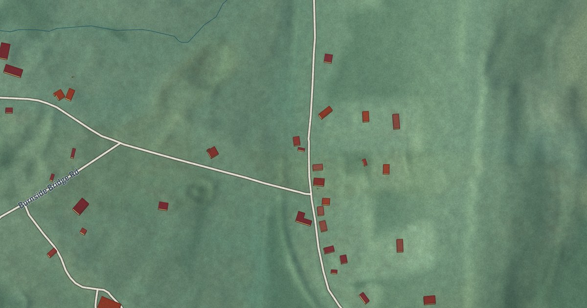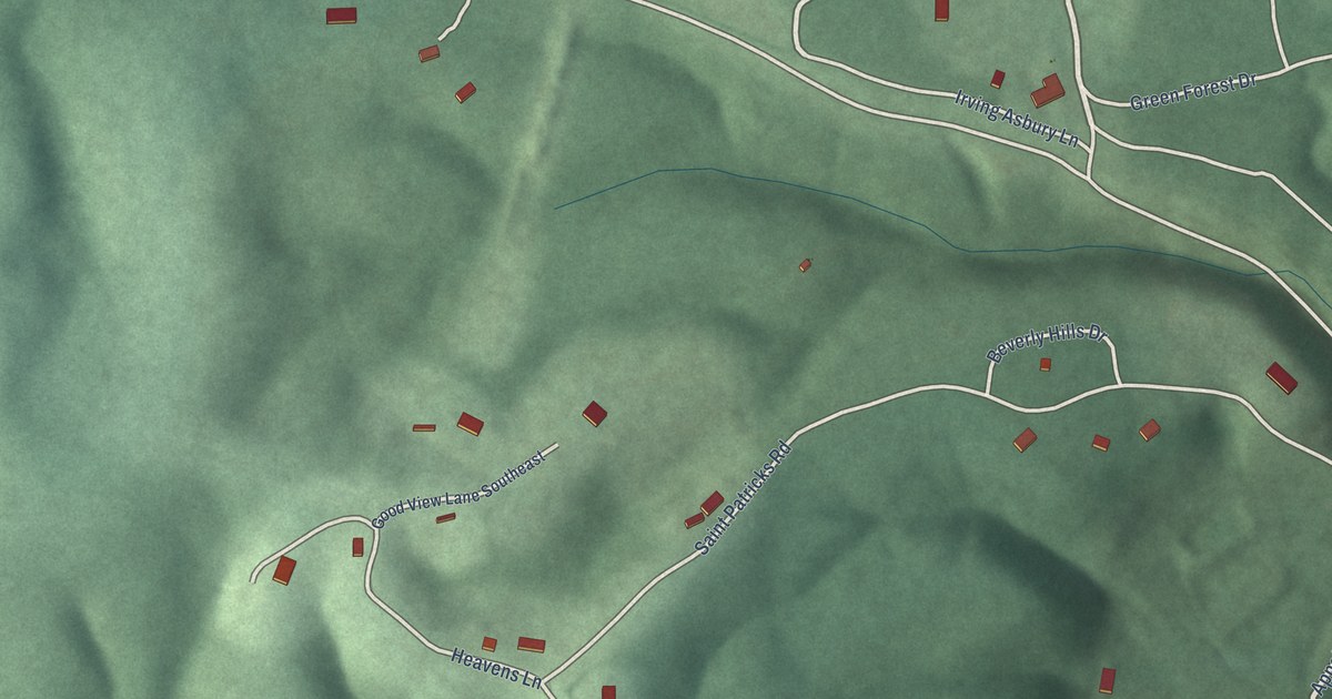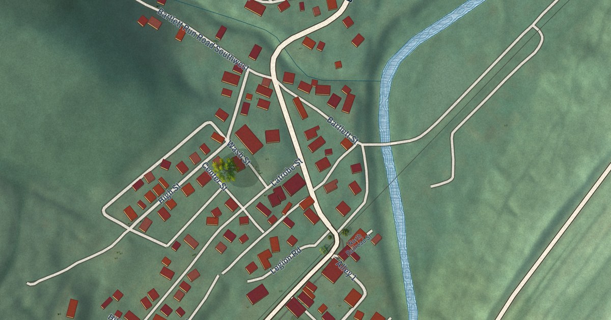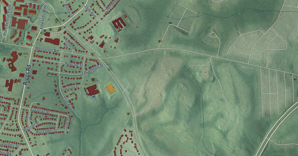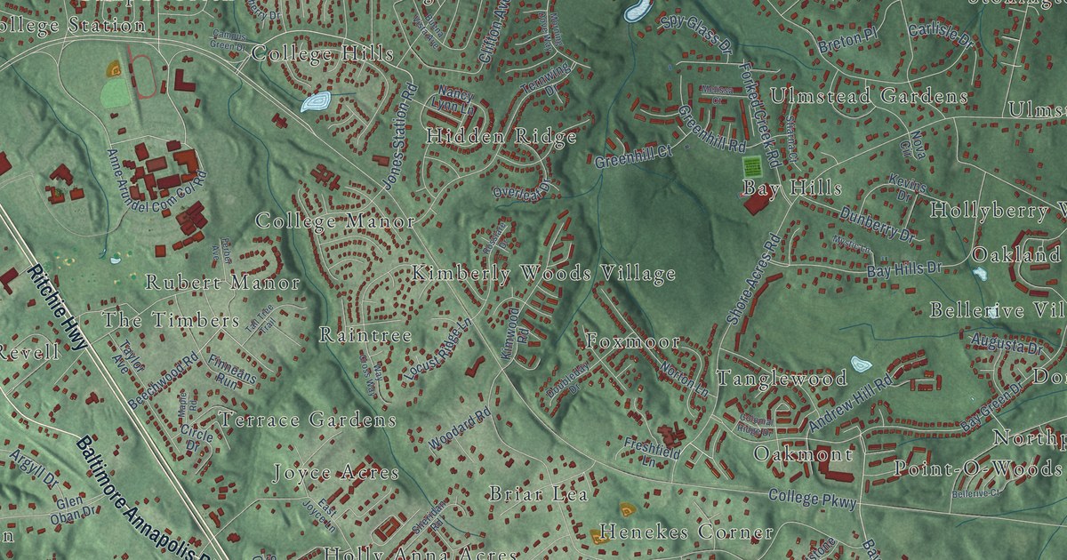
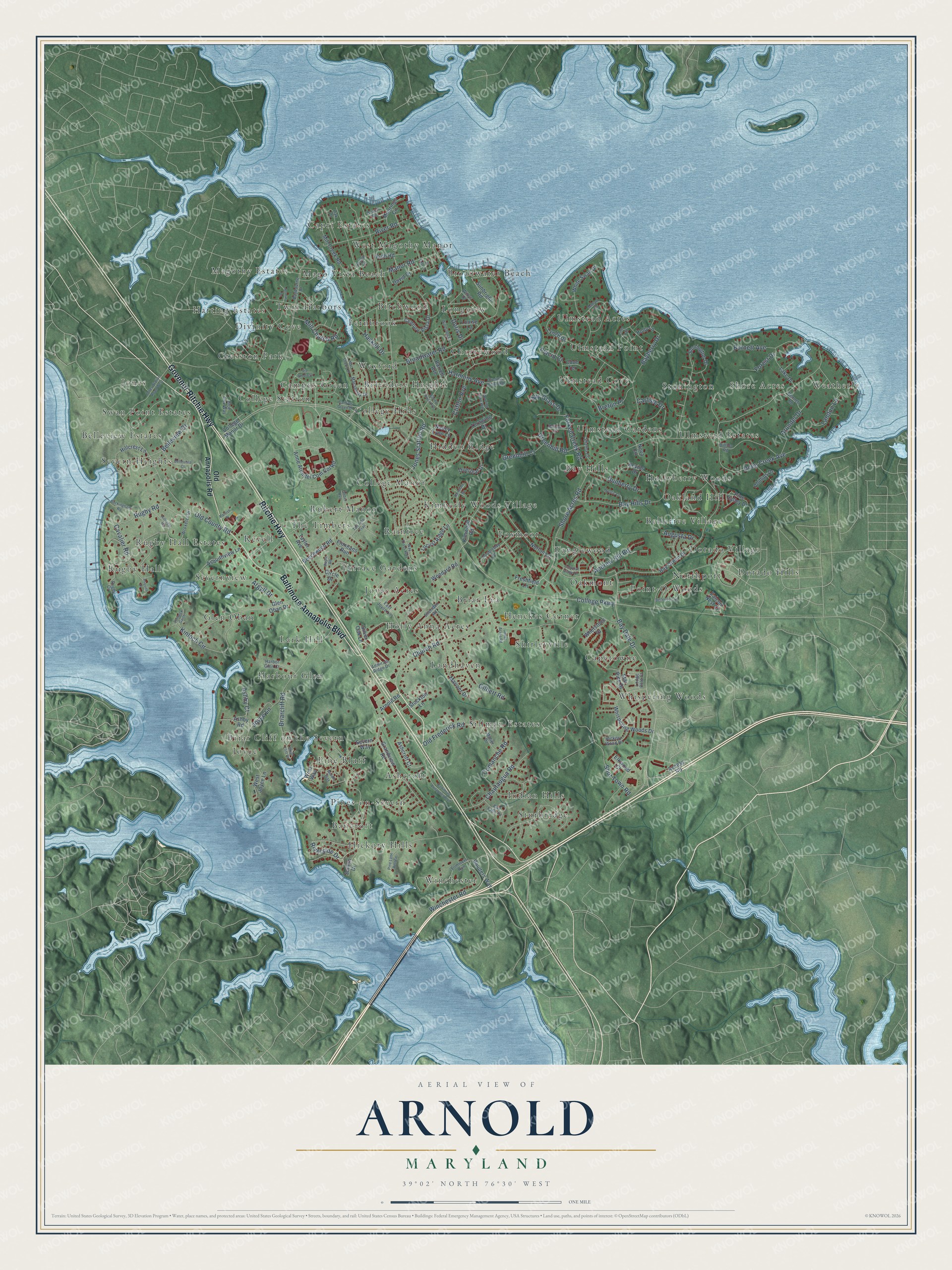
This beautifully detailed map of Arnold, Maryland was created in 2026 using aerial imagery combined with modern topographical, census, street and landmark data. It's a modern aerial view of Arnold in Anne Arundel County, Maryland, that combines modern data with a vintage aesthetic. The roads feature printed names, and if you look closely you can find your exact house accurately shown in its correct location.
Explore an aerial view of Arnold, Maryland
On this map you'll find Weatherly, Capri Estates, Rugby Hall, Dorado Village, Jones, Sturbridge, College Hills, Ulmstead Point, Lark Hill, Pine Bluff, Tanglewood, Rubert Manor, and more. Each red shape is a building, so zoom in on the preview and look for yours.
Here is a piece of Arnold history. Arnold took its name from Arnold's Store, owned by Edgar F. Arnold. The Arnold family farmed here in the 1800s, and the 1878 county map shows Thomas Arnold, a farmer born in Anne Arundel County in 1825, with 475 acres. That's from the Maryland Historical Trust.
Arnold is a community in Anne Arundel County. The Census Bureau counted 24,064 people here in 2020.
Take a closer look at the Arnold map
Names on this map
These names are printed on this map.
Places: Weatherly, Capri Estates, Rugby Hall, Dorado Village, Jones, Sturbridge, College Hills, Ulmstead Point, Lark Hill, Pine Bluff, Tanglewood, Rubert Manor, Cherrywood, Winchester, Severn Heights, Whispering Woods, Bay Hills, Twin Harbors, Cresston Park, Landhaven, Ulmstead Estates, Severnview, Broadwater Beach, Joyce, Terrace Gardens, Harbour Glen, Kimberly Woods Village, Sillman Estates, Ulmstead Gardens, College Manor, Hickory Hills, Ashcroft, Point-O-Woods, Mago Vista Beach, Glen Oban, Hidden Ridge, College Station, Oakland Hill, Pines-on-Severn, Ulmstead Cove, Fernbrook, Stonington, Joyce Acres, Belvedere Heights, West Magothy Manor, Campus Green, Swan Point Estates, Raintree, Longview, Birchwood, Northport, Belleview Estates, Briar Cliff on the Severn, Capetowne, Magothy Estates, Hollyberry Woods, Shore Acres, Indian Hills, Holly Anna Acres, Oakmont, Bellerive Village, Harting Estates, Revell, Foxmoor, Ulmstead Acres, Rugby Hall Estates, Dorado Hills, Wexford, Henekes Corner, Shirleyville, Bancroft, Divinity Cove, The Timbers and Briar Lea.
Streets and roads: Baltimore Annapolis Boulevard, Govenor Ritchie Highway, Ritchie Highway, Riverside Drive, Jones Station Road, Bay Dale Drive, College Parkway, Harmony Avenue, Shore Acres Road, Winchester Road, Joyce Lane, Broadwater Road.
More street names, A to Z
Access Road, Admirals Ridge Drive, Andrew Hill Road, Anne Arundel Com Col Road, Argyll Drive, Arnold Road, Arundel Drive, Ashby Court, Ashby Road, Ashcroft Court, Asquith Drive, Asquithview Lane, Augusta Drive, Bald Eagle Road, Barrett Avenue, Bayberry Drive, Baybourne Drive, Bay Green Drive, Bay Hills Drive, Beach Road, Beechwood Road, Bellerive Court, Belleview Drive, Bellevista Court, Bennett Road, Blue Fox Way, Boulters Way, Breton Place, Briarcliff Road, Briar Cliff Road, Buckingham Road, Buena Vista Avenue, Burnett Avenue, Campus Green Drive, Carlisle Drive, Cavalier Road, Century Vista Drive, Chautaugua Road, Church Road, Circle Drive, Clifton Avenue, College Manor Drive, Colonial Ridge Drive, Comanche Road, Cove Terrace, David Drive, Deep Creek Avenue, Doris Drive, Doubleday Drive, Dreams Point Road, Dunberry Drive, East Joyce Lane, Elkwood Court, Falcon Nest Court, Fenwick Garth, Ferber Avenue, Finneans Run, Forest Drive, Forked Creek Road, Freshfield Lane, Gilbert Road, Glen Oban Drive, Grandview Road, Greenhill Court, Greenhill Road, Harbor Glen Court, Haskell Drive, Hickory Wood Drive, Hillcrest Lane, Hillcrest Road, Hilltop Road, Holly Lane, Jo Deb Lane, Jones Acres Road, Jones Station Road West, Kevins Drive, Kimwood Road, Kinloch Circle, Lake Drive, Landon Lane, Locust Ridge Lane, Lodge Pole Court, Louise Lane, Lynch Drive, Macsherry Drive, Mac Sherry Drive, Malier Drive, Mallard Circle, Manor Road, Maple Road, Mariner Drive, Melissa Court, Middle Way, Mill Church Road, Mill Creek Road, Moorings Circle, Morning Dove Way, Mystic Lane, Nancy Lynn Lane, Nomini Drive, Norton Lane, Nova Circle, Oak Drive, Old Annapolis Road, Old County Road, Old Frederick Road, Overleaf Drive, Parrish Place, Phillips Drive, Pine Lane Retreat, Pine Trail, Pine Valley Drive, Placid Court, River Road, Rosslare Drive, Rugby Cv, Rugby Road, Ruth Road, Severn Drive, Severn Way, Sheridan Road, Shot Town Road, Silver Oak Lane, Spy Glass Drive, Star Pine Drive, Stiarna Court, Stockton Lane, Stonington Drive, Summers Run, Sunbright Road, Tall Tree Trail, Taylor Avenue, Ternwing Drive, Via Amorosa, Volley Court, Way Cross Way, West Joyce Lane, West Way, Whetstone Drive, Whispering Woods Drive, White Swan Drive, Willys Drive, Windsong Drive, Woodard Road, Wroxeter Drive.
See it on a wall
The Arnold map as a framed print. Swipe for more.


Created by KNOWOL in 2026. The buildings are small red shapes, the roads carry their printed names, and shaded relief shows the shape of the land. The title panel reads "AERIAL VIEW OF ARNOLD, MARYLAND" with 39°02' NORTH 76°30' WEST.
It suits a den, a classroom or a front hall, and it makes a gift for anyone with Arnold roots. Open the preview and find the block you know. See sizes and frames for the Arnold map.