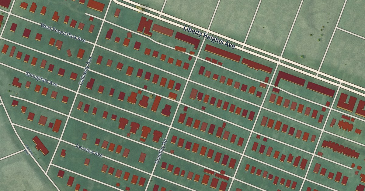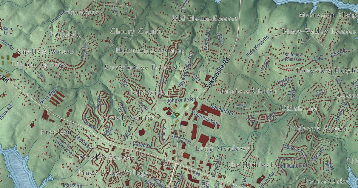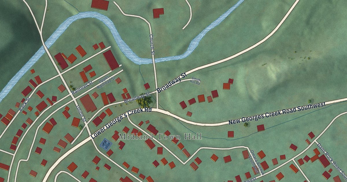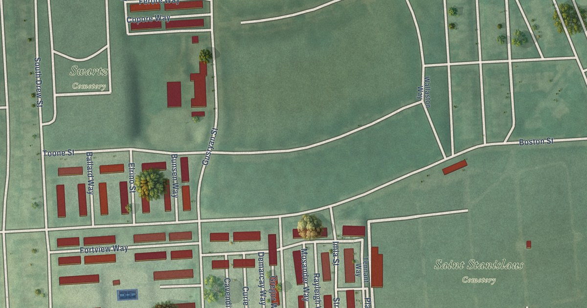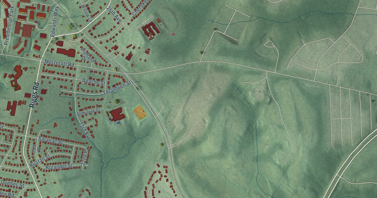
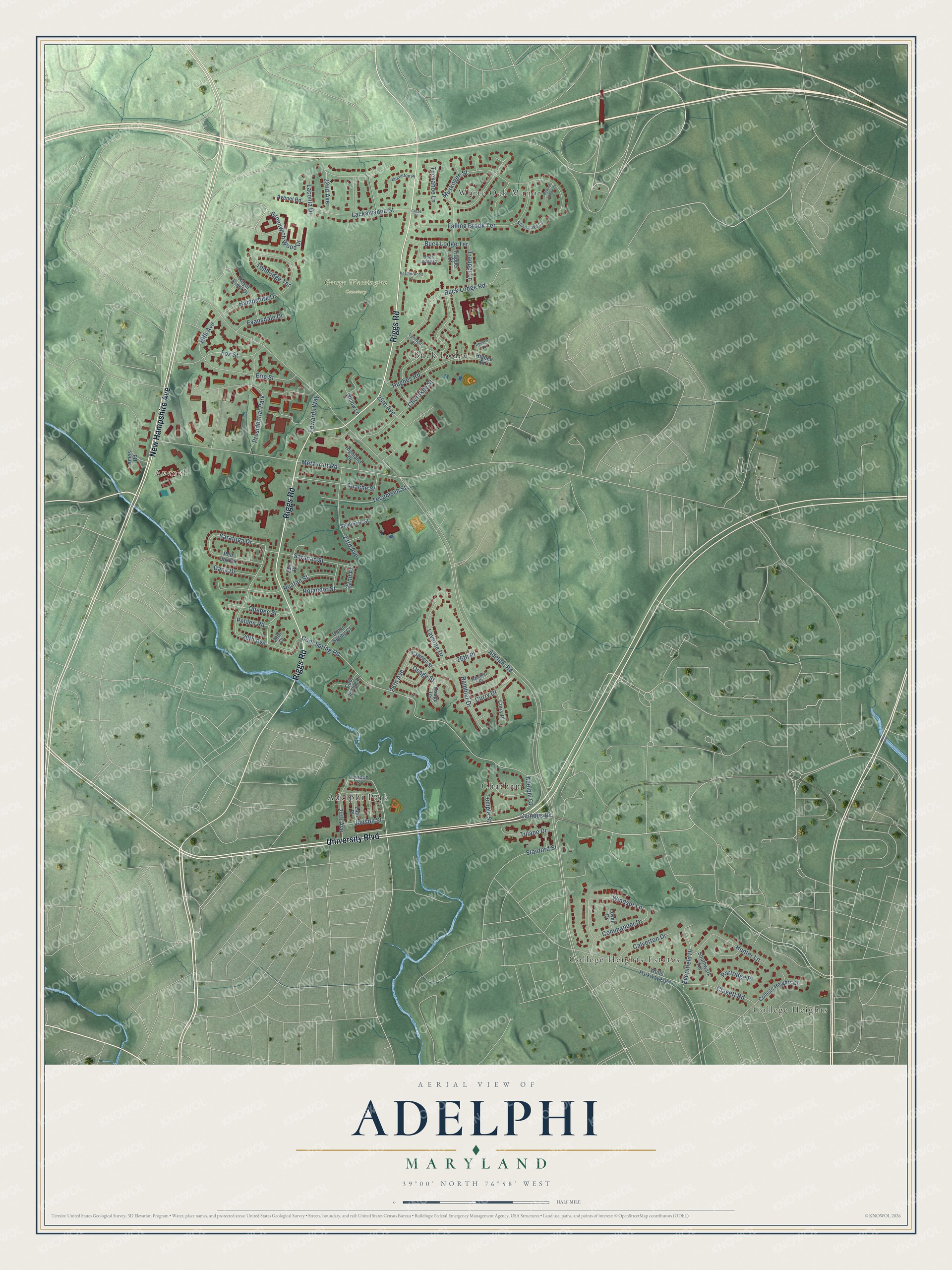
This beautifully detailed map of Adelphi, Maryland was created in 2026 using aerial imagery combined with modern topographical, census, street and landmark data. It's a modern aerial view of Adelphi in Prince George's County, Maryland, that combines modern data with a vintage aesthetic. The roads feature printed names, and if you look closely you can find your exact house accurately shown in its correct location.
Explore an aerial view of Adelphi, Maryland
On this map you'll find George Washington Cemetery, College Heights, Avenel, Adelphi Park, White Oak Manor, Chatham, College Heights Estates, Buck Lodge, Riggs Road, University Boulevard, New Hampshire Avenue, Cool Spring Road, and more. Each red shape is a building, so zoom in on the preview and look for yours.
Adelphi is a community in Prince George's County. The Census Bureau counted 16,823 people here in 2020. Adelphi sits about 2 miles west of College Park, 2 miles south of Hillandale and 2 miles northwest of University Park. The map prints the town name in its title panel, with the coordinates below it.
Take a closer look at the Adelphi map
Names on this map
These names are printed on this map.
Places: George Washington Cemetery, College Heights, Avenel, Adelphi Park, White Oak Manor, Chatham, College Heights Estates, Buck Lodge and Presidential Park.
Streets and roads: Riggs Road, University Boulevard, New Hampshire Avenue, Cool Spring Road, Adelphi Road, Muskogee Street, Metzerott Road, 20th Avenue, Lackawanna Street, Buck Lodge Road, Hampshire Drive, Hughes Road.
More street names, A to Z
19th Avenue, 20th Court, 21st Place, 22nd Avenue, 22nd Place, 23rd Avenue, 24th Avenue, 24th Place, 25th Avenue, 26th Avenue, 26th Place, Adelphi Court, Ames Road, Apache Street, Avenel Road, Beaver Lodge Court, Buck Lodge Court, Buck Lodge Terrace, Calverton Drive, Campus Drive, Cherokee Street, Clagett Road, College Heights Drive, Commander Drive, Cool Spring Lane, Cruze Place, Curry Drive, Curry Place, Dana Drive, Edwards Way, Erie Street, Evansdale Drive, Eversfield Drive, Falling Brook Terrace, Fox Street, Greenwich Wood Drive, Heatherwood Court, Higbee Road, Highland Drive, Hunter Lane, Judson Street, Laconia Drive, Laverne Drive, Lovell Drive, Lyndon Street, Lynmont Drive, Mistletoe Place, Osage Street, Osage Terrace, Partridge Place, Pawnee Street, Pelden Road, Philben Drive, Quebec Street, Quinn Spring Court, Rambler Drive, Rambler Place, Red Oak Drive, Rolander Street, Royal Crest Drive, Ruatan Street, Saranac Street, Saratoga Drive, Seminole Street, Silver Lake Court, Southwark Terrace, Stanford Street, Tecumseh Street, Temple Street, Tonbridge Terrace, Trapper Court, Trapper Lane, Tuckahoe Lane, Tulane Drive, Wells Parkway East, Willow Lane, Windsor Lane.
Created by KNOWOL in 2026. The buildings are small red shapes, the roads carry their printed names, and shaded relief shows the shape of the land. The title panel reads "AERIAL VIEW OF ADELPHI, MARYLAND" with 39°00' NORTH 76°58' WEST.
It suits a den, a classroom or a front hall, and it makes a gift for anyone with Adelphi roots. Open the preview and find the block you know. See sizes and frames for the Adelphi map.