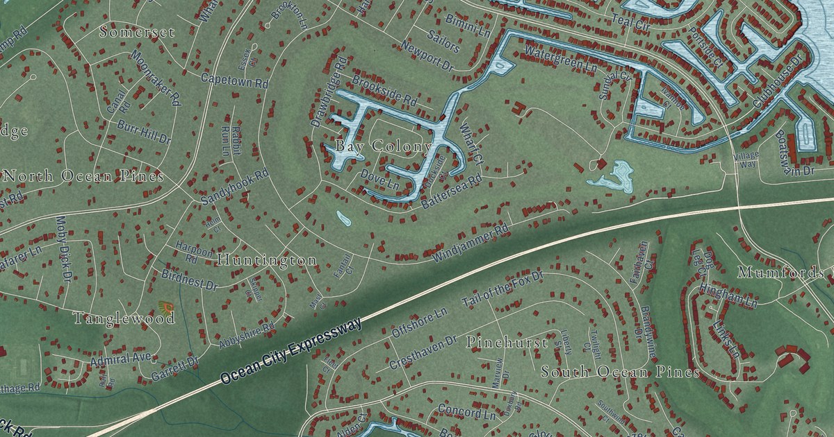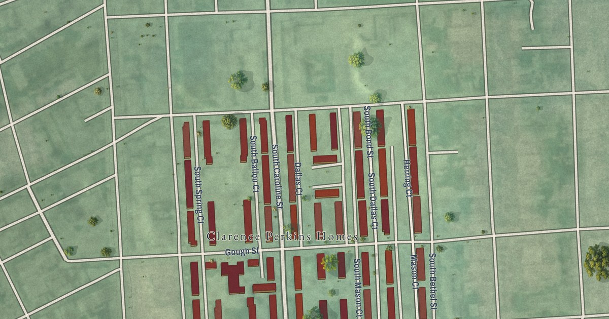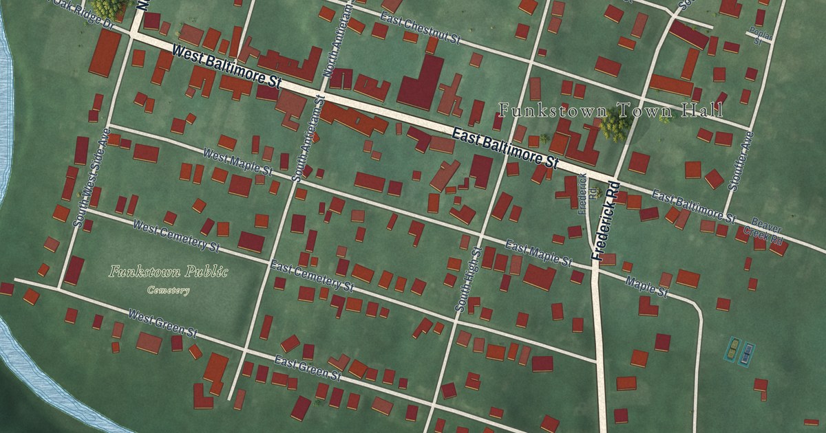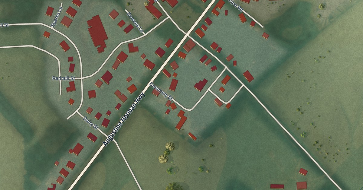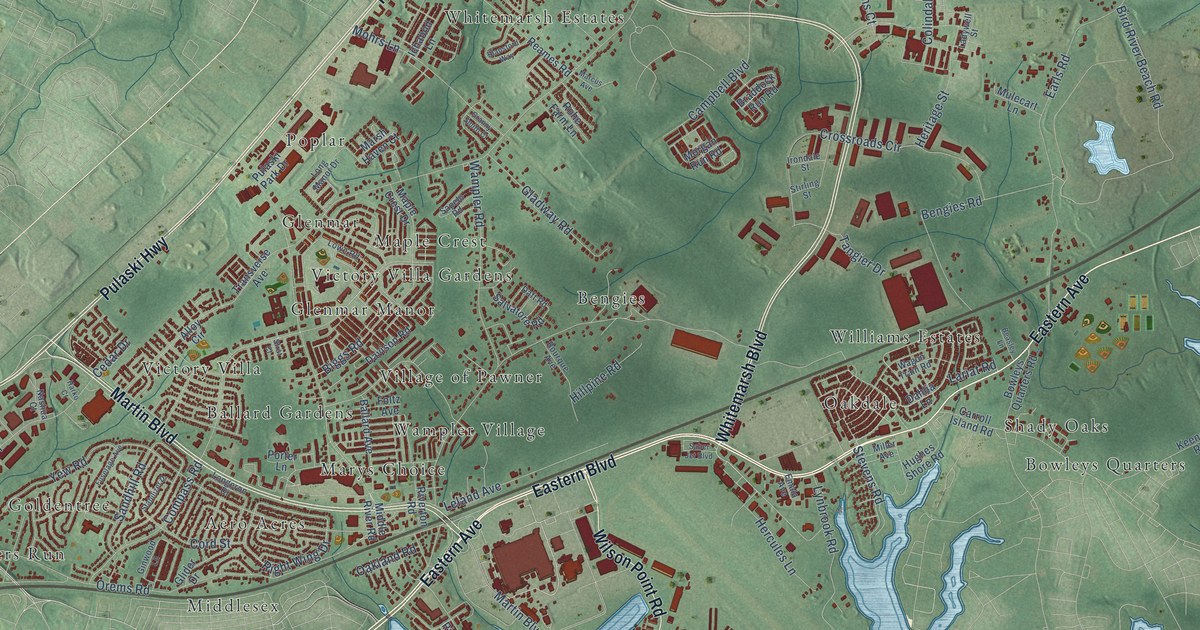
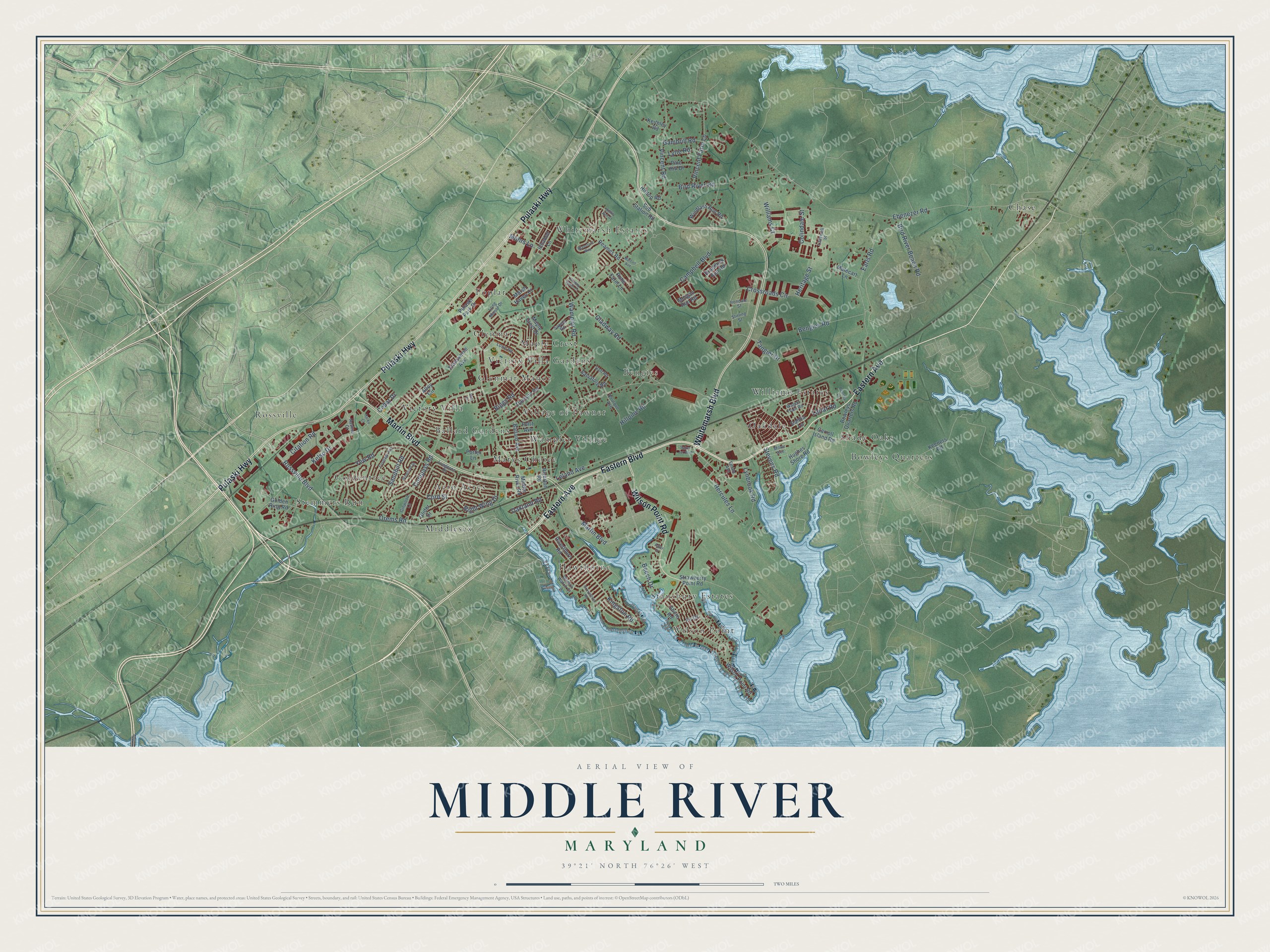
This beautifully detailed map of Middle River, Maryland was created in 2026 using aerial imagery combined with modern topographical, census, street and landmark data. It's a modern aerial view of Middle River in Baltimore County, Maryland, that combines modern data with a vintage aesthetic. The roads feature printed names, and if you look closely you can find your exact house accurately shown in its correct location.
Explore an aerial view of Middle River, Maryland
On this map you'll find Stemmers Run, Poplar, Chase, Stansbury Estates, Whitemarsh Estates, Victory Villa, Oakdale, Village of Pawner, Middlesex, Bengies, Hawthorne, Bowleys Quarters, and more. Each red shape is a building, so zoom in on the preview and look for yours.
Every town has a first chapter, and Middle River is no exception. The Historical Marker Database puts it this way: "Glenn L. Martin purchased 1,260 acres of waterfront land in Middle River for the location of his new aircraft manufacturing plant. The first phase of the plant was constructed in 1929."
Middle River is a community in Baltimore County. The Census Bureau counted 33,203 people here in 2020.
Take a closer look at the Middle River map
Names on this map
These names are printed on this map.
Places: Stemmers Run, Poplar, Chase, Stansbury Estates, Whitemarsh Estates, Victory Villa, Oakdale, Village of Pawner, Middlesex, Bengies, Hawthorne, Bowleys Quarters, Marys Choice, Rossville, Maple Crest, Aero Acres, Goldentree, Glenmar Manor, Wilson Point, Williams Estates, Wampler Village, Victory Villa Gardens, Shady Oaks, Glenmar and Ballard Gardens.
Streets and roads: Eastern Boulevard, Eastern Avenue, Pulaski Highway, Whitemarsh Boulevard, Martin Boulevard, Wilson Point Road, Rossville Boulevard, Right Wing Drive, Ebenezer Road, Bengies Road, Bird River Road, Orems Road.
More street names, A to Z
Alder Drive, Alloy Circle, Ballard Avenue, Beasley Lane, Beech Drive, Biggs Road, Bird River Beach Road, Blansford Way, Bourque Avenue, Bowleys Quarters Road, Braddock Run Road, Campbell Boulevard, Carroll Island Road, Cedar Drive, Citation Road, Colindale Street, Compass Road, Cord Street, Crossroads Circle, Daft Road, Dahlia Lane, Davison Road, Earls Road, Emala Avenue, Fir Drive, Foltz Avenue, Fuselage Avenue, Gambrill Road, Ginwood Lane, Gladway Road, Glider Drive, Golden Ring Road, Granny Smith Court, Grovethorn Road, Harko Court, Hercules Lane, Heritage Street, Hillpine Road, Hilltop Road, Hughes Shore Road, Ichabod Lane, Irondale Street, Keeners Road, Keithley Road, Kelso Drive, Kingston Road, Ladywell Street, Lariat Road, Leland Avenue, Longeron Drive, Long Manor Drive, Lowe Road, Lynbrook Road, Lytle Road, Maple Crest Drive, Marcus Avenue, Marsh Haven Court, Middle River Road, Miller Avenue, Mohrs Lane, Morgan Run Road, Mulecart Lane, Nashua Court, Oakland Road, Pine Hill Drive, Porter Lane, Pulaski Park Drive, Reames Road, Riverthorn Road, Riverton Road, Rohe Farm Lane, Saber Jet Boulevard, Salvatore Road, Sandhill Road, Sapelo Road, Shore Road, Stabilizer Drive, Stevens Road, Stirling Street, Strawberry Point Road, Strut Court, Sub Station Road, Tangier Drive, Transverse Avenue, Vincent Farm Lane, Vincent Road, Wagon Train Road, Wampler Road, Waters Watch Court, White Ash Court, Williams Court, Windlass Run Road, Yew Road.
See it on a wall
The Middle River map as a framed print. Swipe for more.


Created by KNOWOL in 2026. The buildings are small red shapes, the roads carry their printed names, and shaded relief shows the shape of the land. The title panel reads "AERIAL VIEW OF MIDDLE RIVER, MARYLAND" with 39°21' NORTH 76°26' WEST.
Hang it in the hallway, the office or the cabin, or give it to someone who left Middle River and still calls it home. Open the preview and look for a street you know. See sizes and frames for the Middle River map.