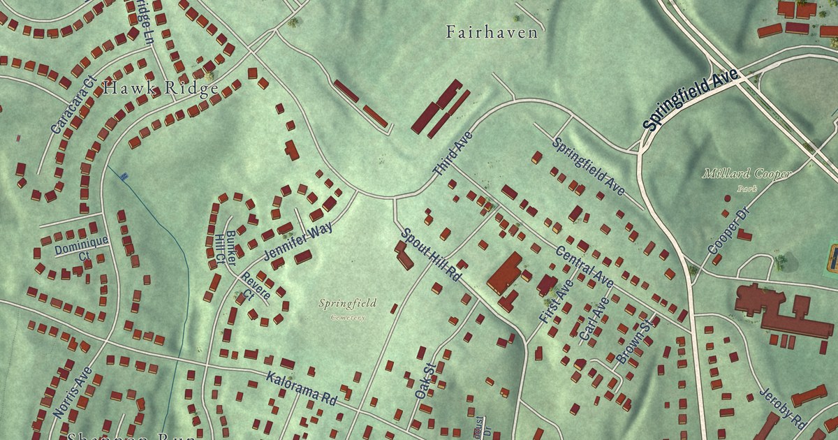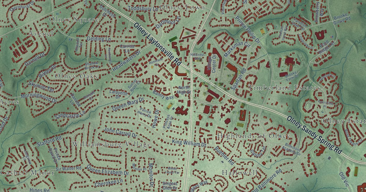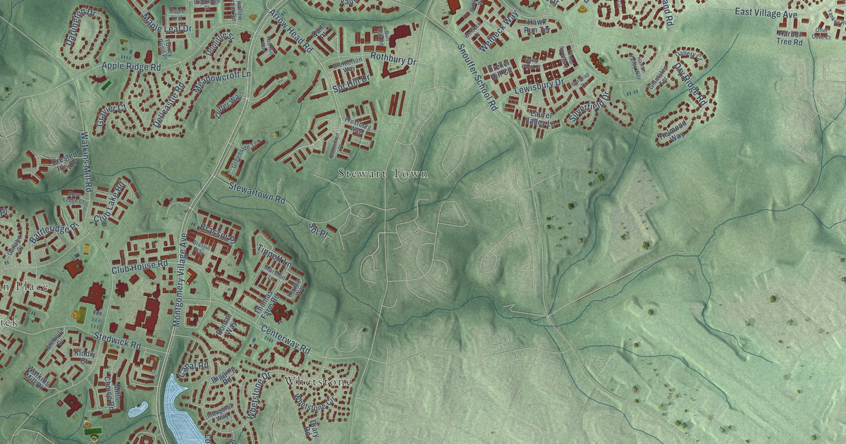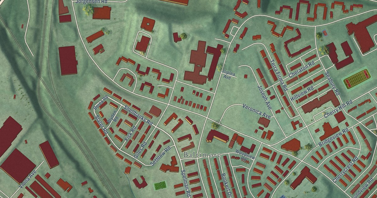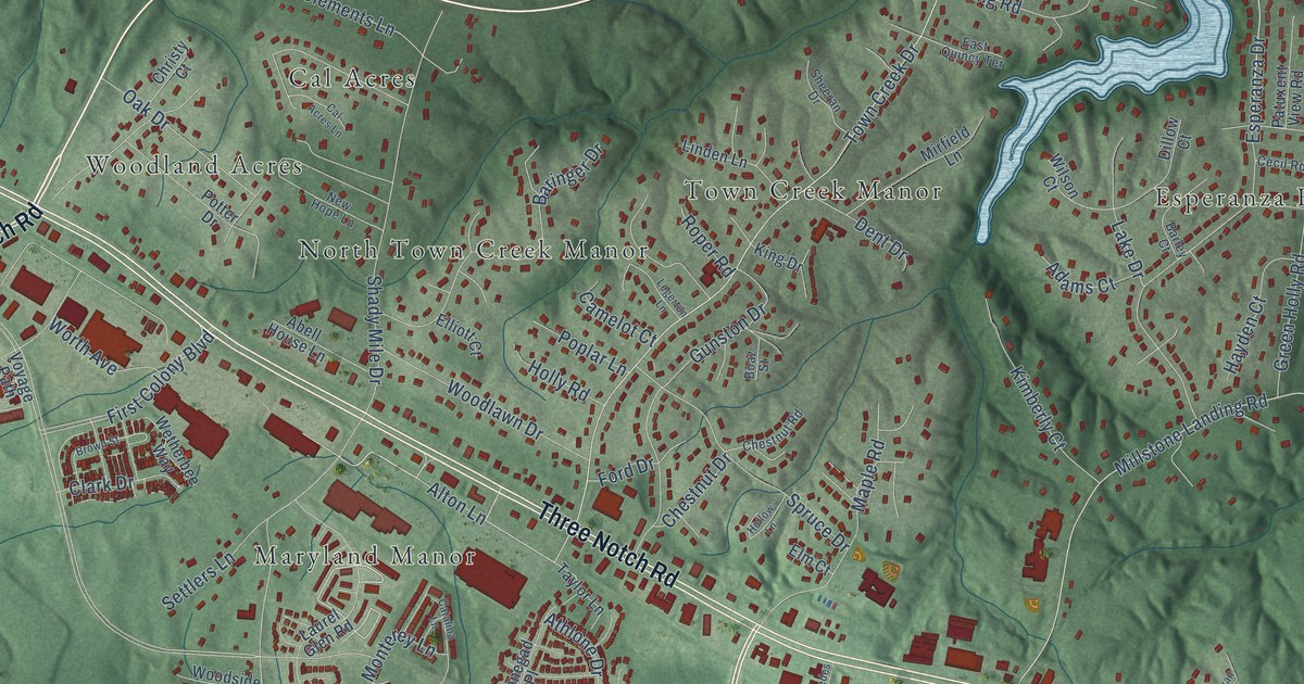
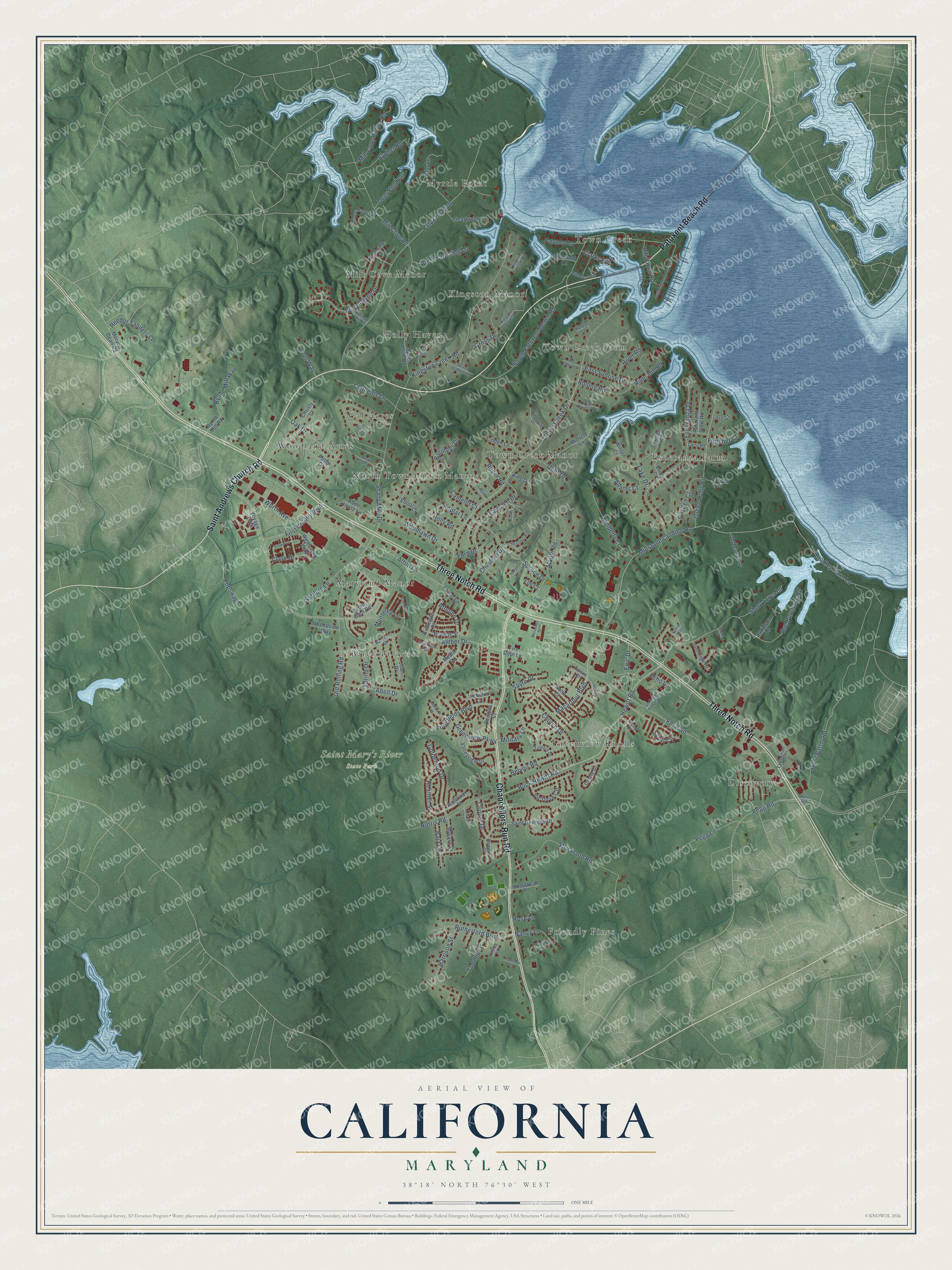
This beautifully detailed map of California, Maryland was created in 2026 using aerial imagery combined with modern topographical, census, street and landmark data. It's a modern aerial view of California in St. Mary's County, Maryland, that combines modern data with a vintage aesthetic. The roads feature printed names, and if you look closely you can find your exact house accurately shown in its correct location.
Explore an aerial view of California, Maryland
On this map you'll find Saint Mary's River State Park, Town Creek, Cal Acres, Discovery, Esperanza Farm, Mill Cove Manor, Maryland Manor, Friendly Pines, Greenview Knolls, Myrtle Point, Town Creek Manor, Barefoot Acres, and more. Each red shape is a building, so zoom in on the preview and look for yours.
Here is a piece of California history. St. Richard's Manor was surveyed on December 6, 1640, and granted by Lord Baltimore to Richard Gardiner, a member of the colony's first General Assembly. It was the first manor granted on the Patuxent River, with 1,000 acres, and in September 1675 the colony's Council met there. Before the first church at Newtown was built in 1662, Catholics gathered at the manor for some of the earliest Catholic services in colonial America. That's from the Maryland Historical Trust.
California is a community in St. Mary's County. The Census Bureau counted 12,947 people here in 2020.
Take a closer look at the California map
Names on this map
These names are printed on this map.
Places: Saint Mary's River State Park, Town Creek, Cal Acres, Discovery, Esperanza Farm, Mill Cove Manor, Maryland Manor, Friendly Pines, Greenview Knolls, Myrtle Point, Town Creek Manor, Barefoot Acres, Town Creek Farm, Woodland Acres, Kingston Manor, Holly Haven and North Town Creek Manor.
Streets and roads: Patuxent Beach Road, Three Notch Road, Chancellors Run Road, Saint Andrews Church Road, Macarthur Boulevard, Alton Lane, Millstone Landing Road, Buck Hewitt Road, Hewitt Road, Bradley Farm Lane, Town Creek Drive, Patuxent Boulevard.
More street names, A to Z
Abell Drive, Abell House Lane, Adams Court, Alydar Drive, Amber Drive, Ann Lane, Athlone Drive, Baja Lane, Barefoot Drive, Baringer Drive, Barkentine Court, Barley Court, Belvoir Road, Bill Dixon Road, Boaz Street, Brawny Street, Brown Street, Buse Road, By the Mill Road, By the Mill Way, Cal Acres Lane, Camelot Court, Catalina Lane, Cecil Road, Chestnut Drive, Chestnut Road, Christy Court, Church Drive, Circle Drive, Clark Drive, Clarks Road, Clearbrook Lane, Clements Lane, Clipper Drive, Cove Manor Road, Davidson Lane, Deer Crossing Lane, Deerpath Court, Deer Pond Lane, Dent Drive, Dillow Court, Douglas Court, Dunleigh Drive, East Quincy Terrace, East Sunrise Drive, Echo Lane, Elliott Court, Elm Court, Emerald Lane, Epic Drive, Esperanza Drive, Excel Court, Expedition Drive, Fdr Boulevard, Filmore Drive, Fire Dept Lane, First Colony Boulevard, Fletcher Court, Ford Drive, Goldenrod Drive, Green Holly Road, Greenview Parkway, Gross Drive, Gunston Drive, Halsey Court, Harbor Lane, Harrison Street, Havenridge Street, Hayden Court, Heather Street, Herring Court, Hollow Lane, Holly Road, Horsehead Road, Joan Drive, Kimberly Court, King Drive, Kingston Creek Road, Kingston Lane, Kingston Shores Lane, Kingston Village Road, Kinnegad Place, Lake Drive, Lanyon Lane, Laurel Glen Road, Legerton Lane, Lexington Village Way, Linden Lane, Longfields Boulevard, Lore Court, Lous Way, Maple Road, Meath Road, Mercedes Drive, Mervell Dean Road, Military Lane, Mill Cove Harbor Road, Mill Cove Road, Mirfield Lane, Mojave Drive, Monterey Lane, Myrtle Point Road, Nancy Lane, New Hope Lane, Nicholas Court, Nolte Court, Norris Road, North Patuxent Beach Road, Oak Drive, Old Manor Lane, Old Rolling Road, Oriole Drive, Patuxent Lane, Patuxent View Road, Pegg Lane, Pegg Road, Placid Hill Road, Poplar Lane, Popswag, Potter Drive, Reeder Sanders Lane, River Hill Road, River Road, Robinson Court, Rolling Road, Roper Road, Rose Lane, Rue Purchase Road, Rutherford Boulevard, Saint Georges Drive, Sayre Drive, Scott Circle, Settlers Lane, Seven Gables Lane, Shady Mile Drive, Sheeran Drive, Shelby Street, Short Acres Lane, South Patuxent Beach Road, Spruce Drive, Strickland Road, Sunflower Street, Sylvan Way, Sypher Road, Tammie Drive, Taylor Lane, Torino Drive, Towey Court, Valleyview Drive, Victoria Circle, Voyage Path, Westmeath Way, West Patrol Road, West Sunrise Drive, Wetherbee Way, Wild Rose Lane, Wilson Court, Woodhaven Drive, Woodlawn Drive, Woodside Way, Worth Avenue.
See it on a wall
The California map as a framed print. Swipe for more.


Created by KNOWOL in 2026. The buildings are small red shapes, the roads carry their printed names, and shaded relief shows the shape of the land. The title panel reads "AERIAL VIEW OF CALIFORNIA, MARYLAND" with 38°18' NORTH 76°30' WEST.
It suits a den, a classroom or a front hall, and it makes a gift for anyone with California roots. Open the preview and find the block you know. See sizes and frames for the California map.