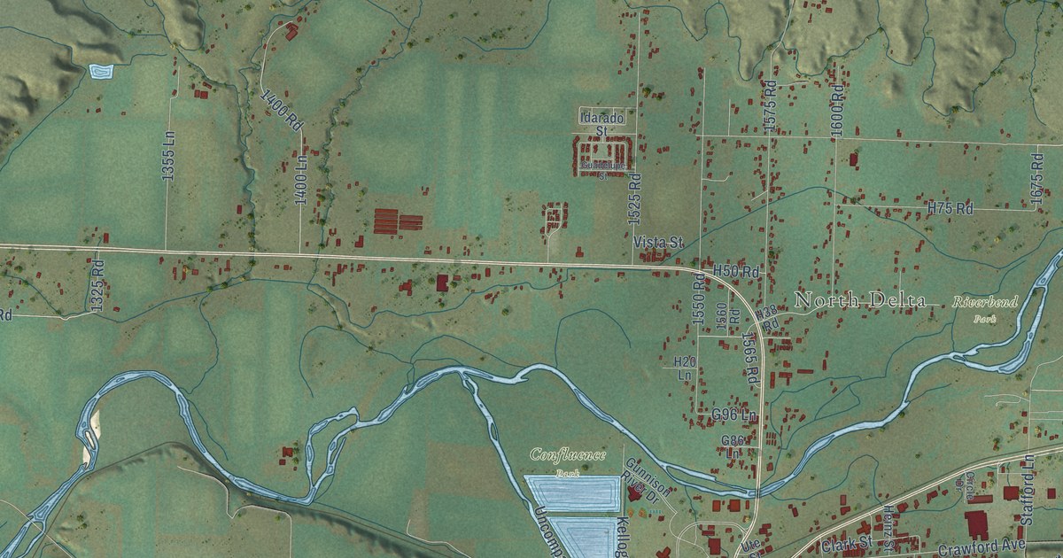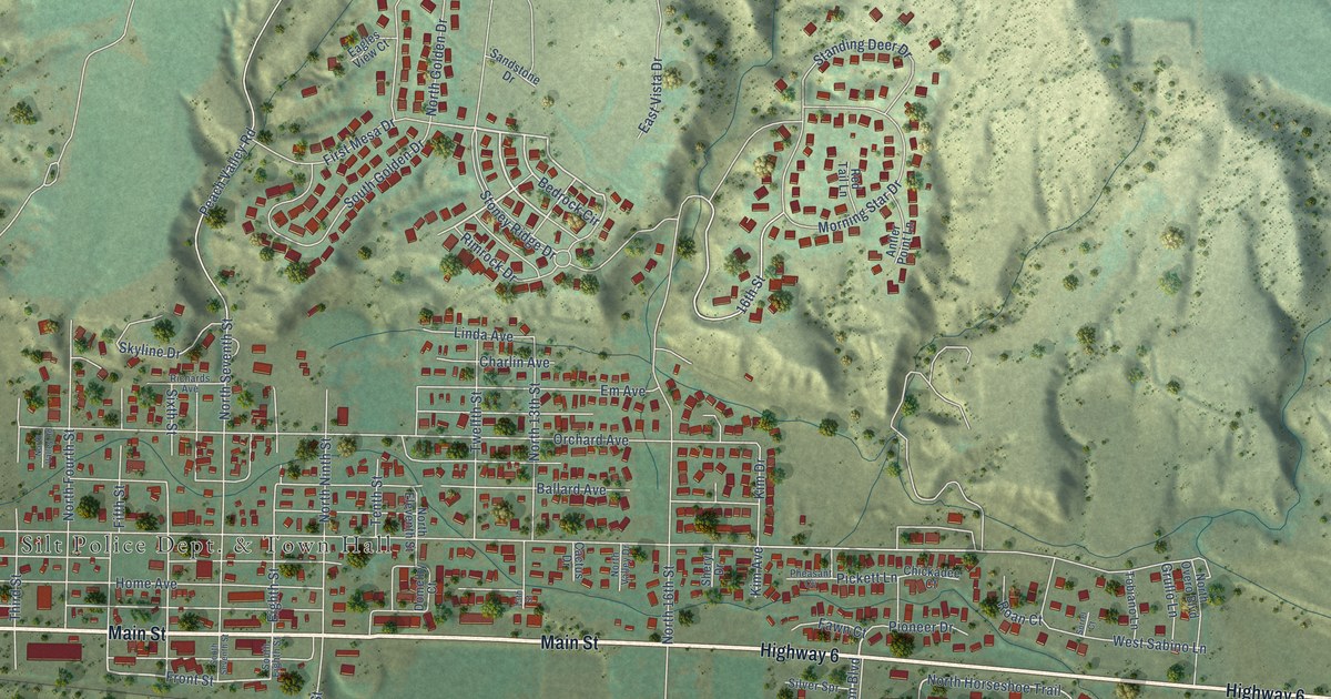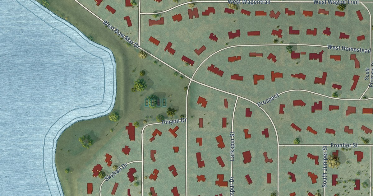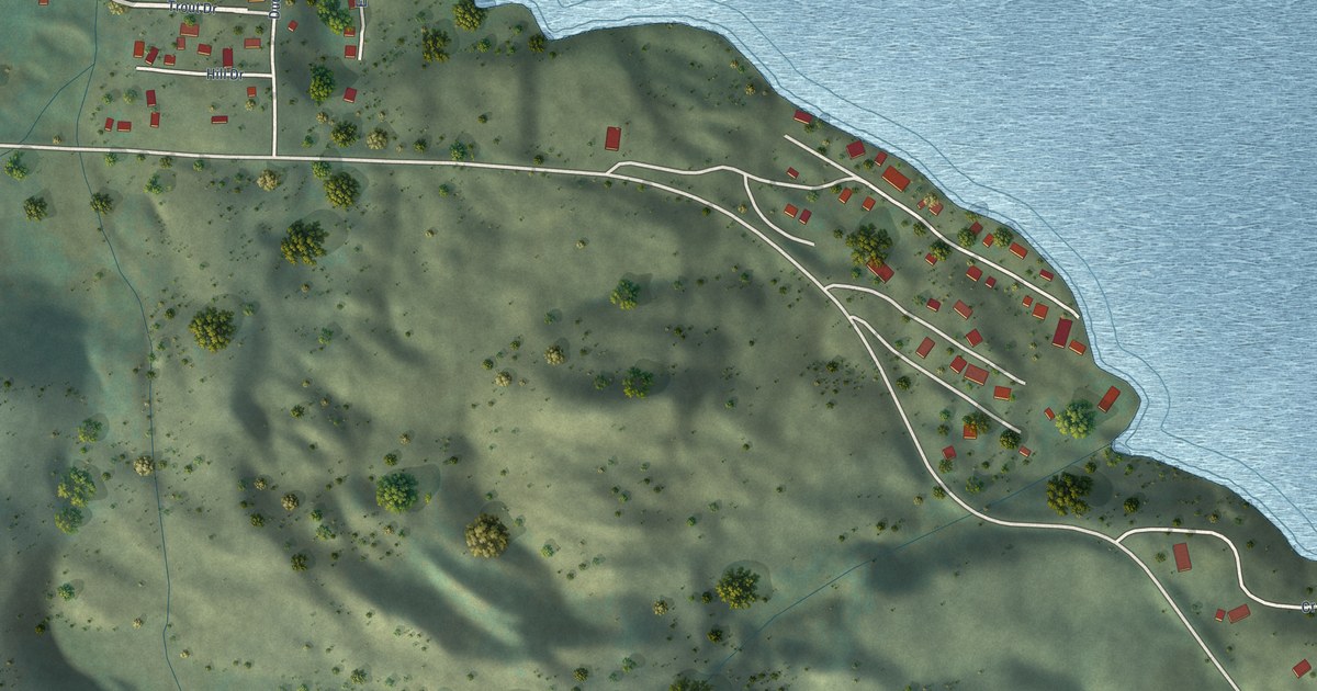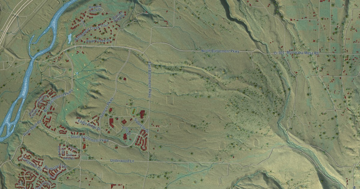
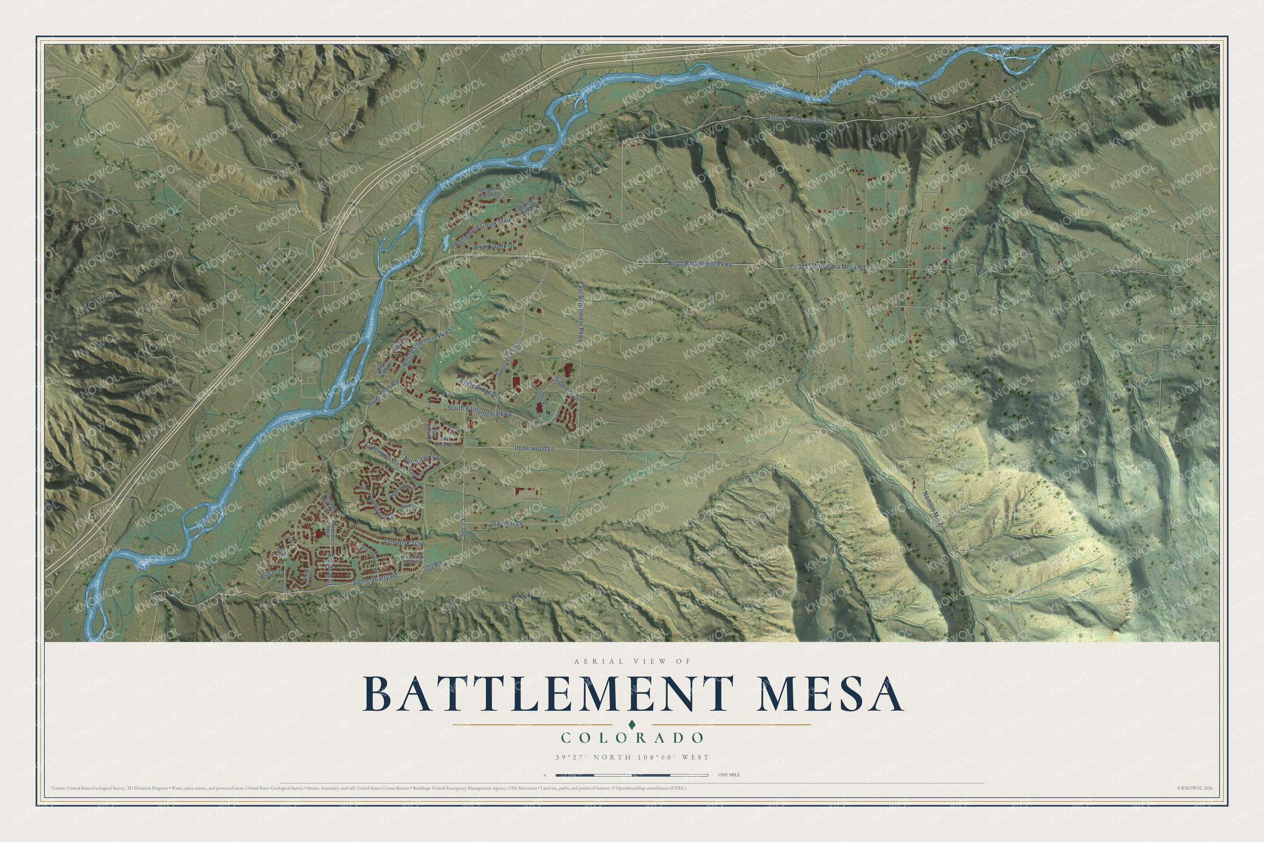
This beautifully detailed map of Battlement Mesa, Colorado was created in 2026 using aerial imagery combined with modern topographical, census, street and landmark data. It's a modern aerial view of Battlement Mesa in Garfield County, Colorado, that combines modern data with a vintage aesthetic. The roads feature printed names, and if you look closely you can find your exact house accurately shown in its correct location.
Explore an aerial view of Battlement Mesa, Colorado
On this map you'll find South Battlement Parkway, Rainbow Court, River Bluff Road, East Battlement Parkway, Namors M-11, North Battlement Parkway, Morrisana Mesa Road, Stone Quarry Road, Underwood Lane, Rulison – Parachute Lane, Spencer Parkway, West Battlement Parkway, and more. Each red shape is a building, so zoom in on the preview and look for yours.
Battlement Mesa has a story worth telling. Exxon built Battlement Mesa as a company town and planned it as a city of 25,000. When Exxon canceled its Colony Shale Oil Project in 1982, about 1,800 people lived here, and the town’s two schools, recreation complex, golf course and shopping center were still unfinished. About 2,100 workers lost their jobs, and people here hoped Battlement Mesa would not become a ghost town like the short-lived gold and silver camps. That's from the news magazine Time.
Battlement Mesa is a community in Garfield County. The Census Bureau counted 5,438 people here in 2020.
Take a closer look at the Battlement Mesa map
Names on this map
These names are printed on this map.
Streets and roads: South Battlement Parkway, Rainbow Court, River Bluff Road, East Battlement Parkway, Namors M-11, North Battlement Parkway, Morrisana Mesa Road, Cr 301, Stone Quarry Road, Underwood Lane, Rulison - Parachute Lane, Spencer Parkway.
More street names, A to Z
300 Road, Angelica Cr, Arroyo Drive, Battlement Creek Trail, Bent Creek Circle, Blackhawk Trail, Boulder Ridge Drive, Cliff View Circle, Cliff View Court, Cobre Place, Cr 300, Eagle Ridge Drive, Fairway Drive, Gardner Lane, Horizon Circle, Limberpine Circle, Lodgepole Circle, Meadow Creek Drive, Mineral Springs Circle, Monument Trail, Morning Star Drive, Northstar Trail, Oak Court, Placer Drive, Ponderosa Circle, Rainbow Trail, River View Place, Roan Creek Drive, Sagemont Circle, Sipprelle Drive, Smokey Hill Circle, Tamarisk Trail, West Battlement Parkway, Willow Creek Trail.
See it on a wall
The Battlement Mesa map as a framed print. Swipe for more.


Created by KNOWOL in 2026. The buildings are small red shapes, the roads carry their printed names, and shaded relief shows the shape of the land. The title panel reads "AERIAL VIEW OF BATTLEMENT MESA, COLORADO" with 39°27' NORTH 108°00' WEST.
It looks right in a kitchen, an office or a den, and it's a gift for anyone who grew up in Battlement Mesa or moved away. Open the preview and find your street. See sizes and frames for the Battlement Mesa map.