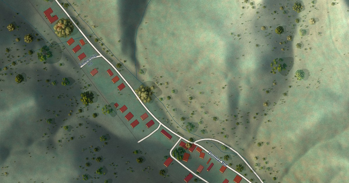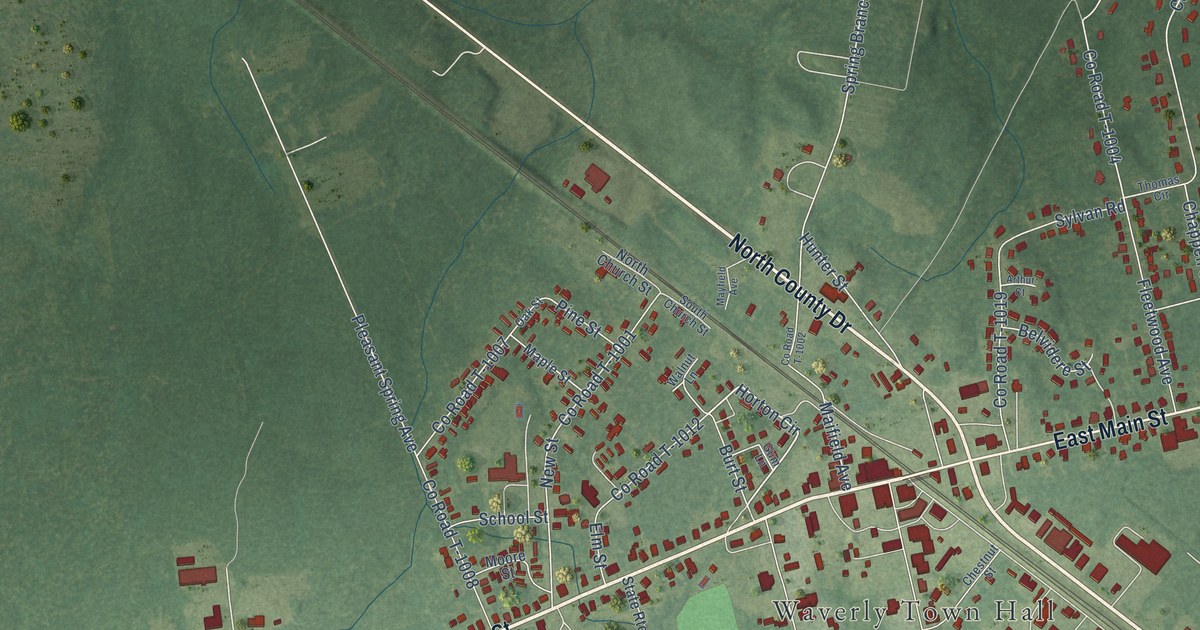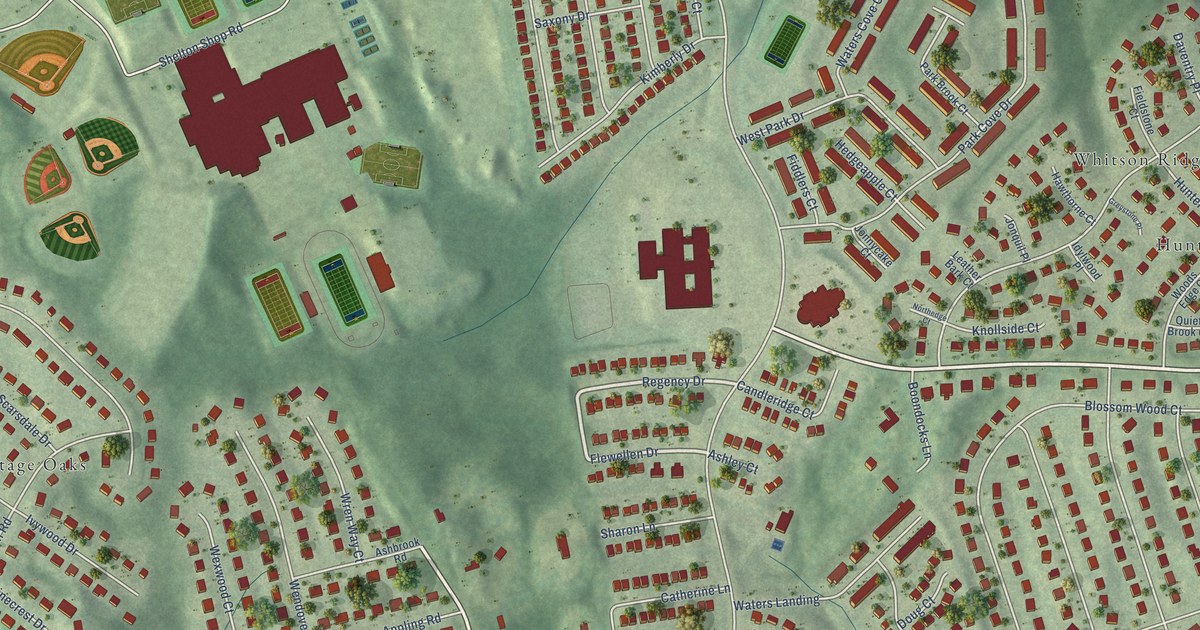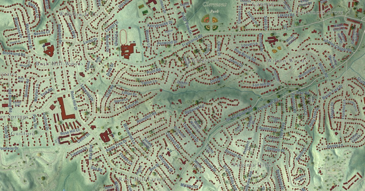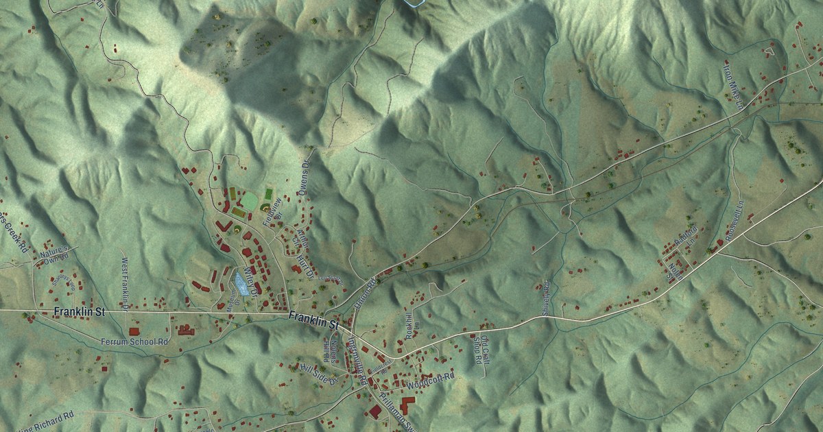
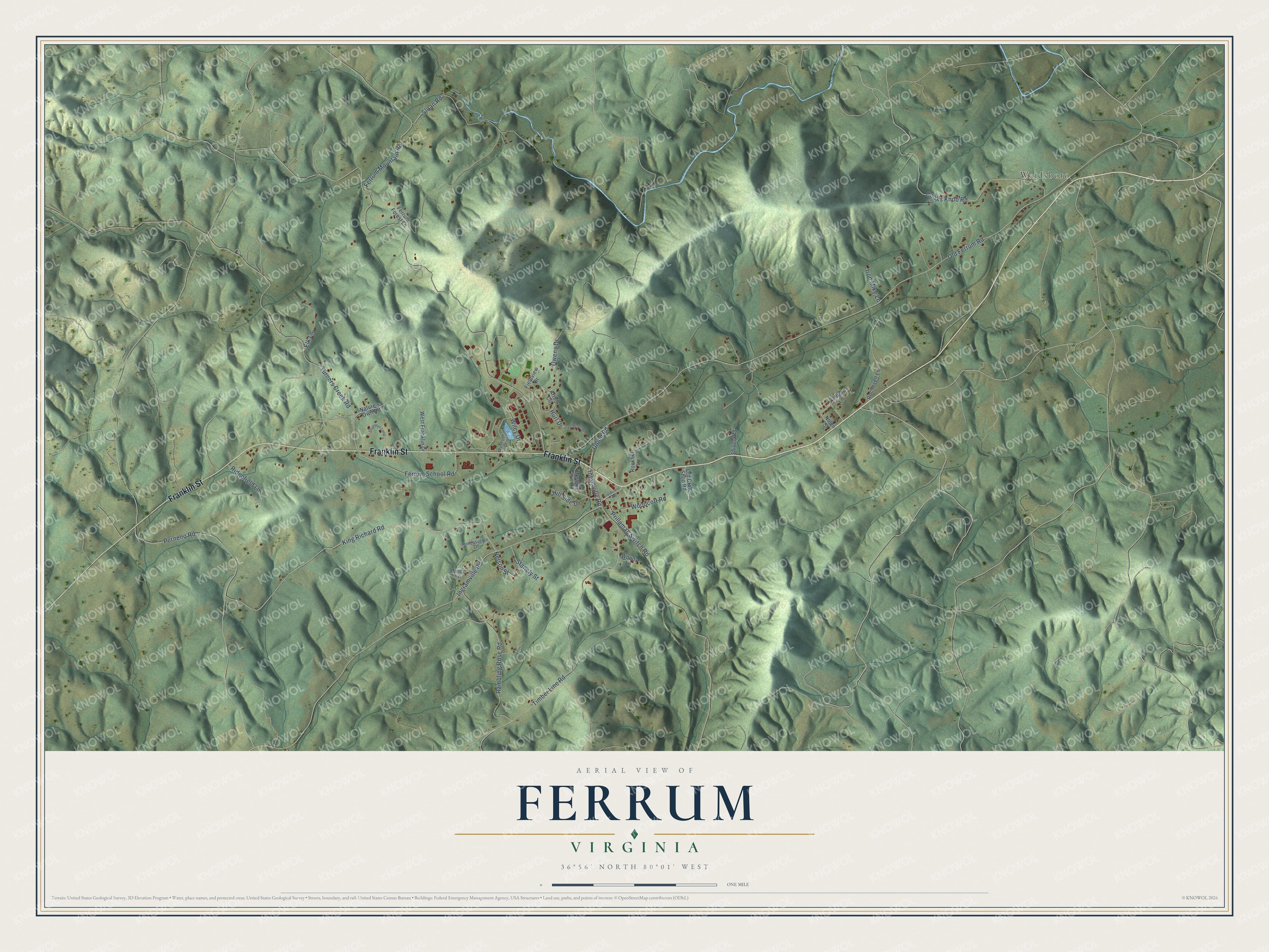
This beautifully detailed map of Ferrum, Virginia was created in 2026 using aerial imagery combined with modern topographical, census, street and landmark data. It's a modern aerial view of Ferrum in Franklin County, Virginia, that combines modern data with a vintage aesthetic. The roads feature printed names, and if you look closely you can find your exact house accurately shown in its correct location.
Explore an aerial view of Ferrum, Virginia
On this map you'll find Waidsboro, Franklin Street, Union Road, Ingrmville Road, Pernello Road, Old Ferrum Road, King Richard Road, Ferrum Mountain Road, Timber Line Road, Ingramville Road, Turners Creek Road, Sloan Road, and more. Each red shape is a building, so zoom in on the preview and look for yours.
Every town has a first chapter, and Ferrum is no exception. Ferrum's name is the Latin word for iron. The village grew up around 1892 along the new Roanoke and Southern Railway, which linked Roanoke with Winston-Salem, North Carolina, and early in the 1900s it became a regional shipping hub. In 1913 the Virginia Methodist Conference founded Ferrum Training School to educate mountain children, and the school grew into Ferrum College. That's from the Virginia Department of Historic Resources.
Ferrum is a community in Franklin County. The Census Bureau counted 1,827 people here in 2020.
Take a closer look at the Ferrum map
Names on this map
These names are printed on this map.
Places: Waidsboro.
Streets and roads: Franklin Street, Union Road, Ingrmville Road, Pernello Road, Old Ferrum Road, King Richard Road, Ferrum Mountain Road, Timber Line Road, Ingramville Road, Turners Creek Road, Sloan Road, Cooks Knob Road.
More street names, A to Z
Arthur Circle, Elk Lane, Ferrum Forest Lane, Ferrum School Road, Fieldcrest Road, Fieldview Drive, Hill Side Drive, Honeysuckle Lane, Hurt Drive, Iron Mike Lane, Leo Scott Drive, Museum Drive, Nature's Own Road, Nelson Street, Nolens Hill Road, Nolen Street, Old Craft Shop Road, Owens Drive, Piney Lane, Prillaman Switch Road, Radford Lane, Rambling Rose Road, Ridgefield Lane, Rockhill Lane, Roosevelt Lane, Shanleys Loop, Shively Road, Stanely Street, West Franklin Drive, Wiley Drive, Woodcott Road, Woods Lane.
See it on a wall
The Ferrum map as a framed print. Swipe for more.


Created by KNOWOL in 2026. The buildings are small red shapes, the roads carry their printed names, and shaded relief shows the shape of the land. The title panel reads "AERIAL VIEW OF FERRUM, VIRGINIA" with 36°56' NORTH 80°01' WEST.
Hang it in the hallway, the office or the cabin, or give it to someone who left Ferrum and still calls it home. Open the preview and look for a street you know. See sizes and frames for the Ferrum map.