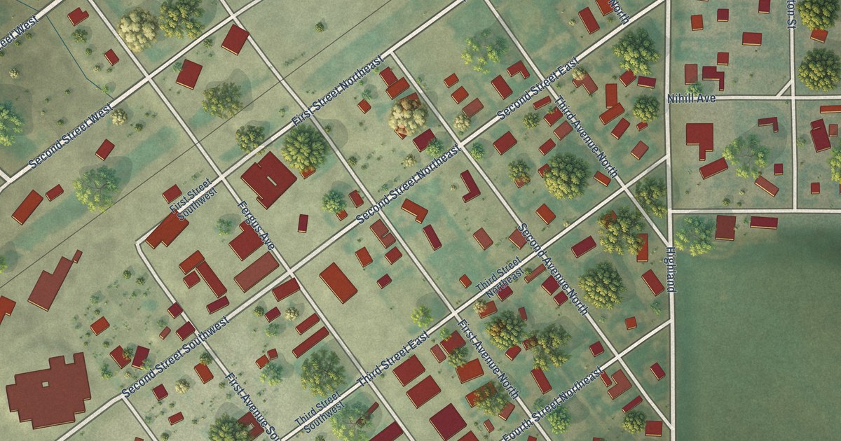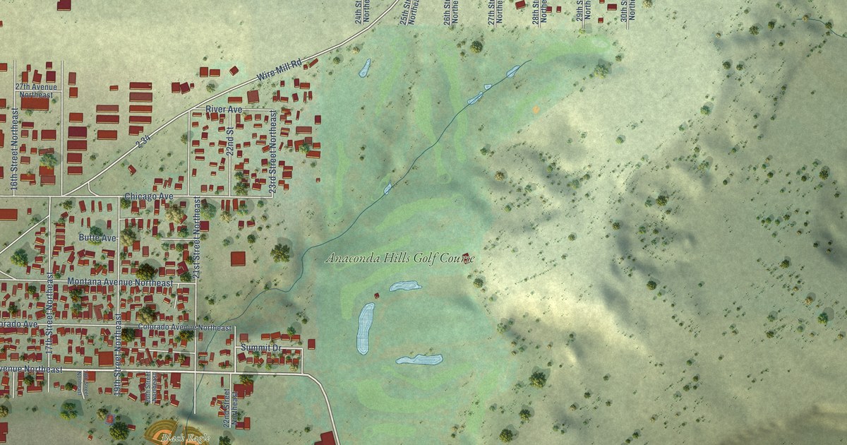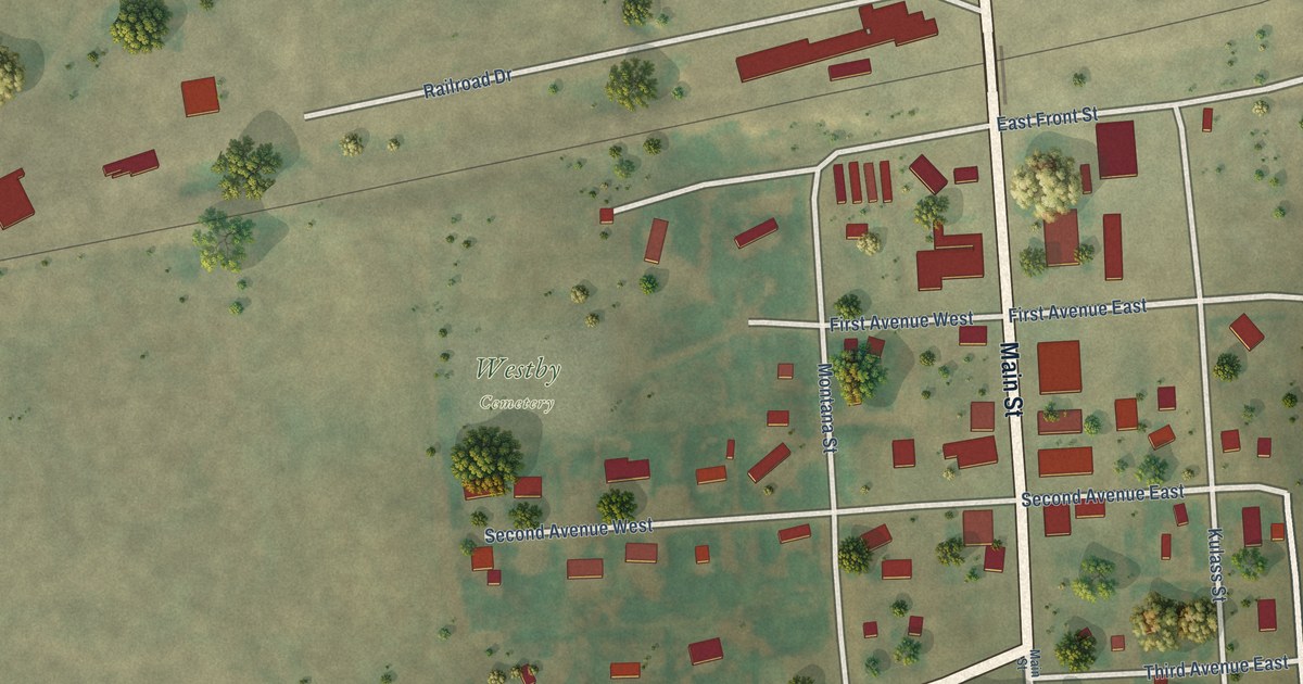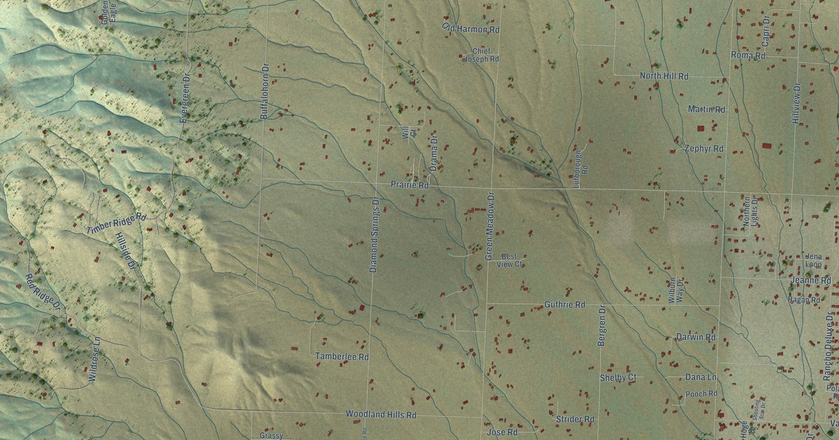
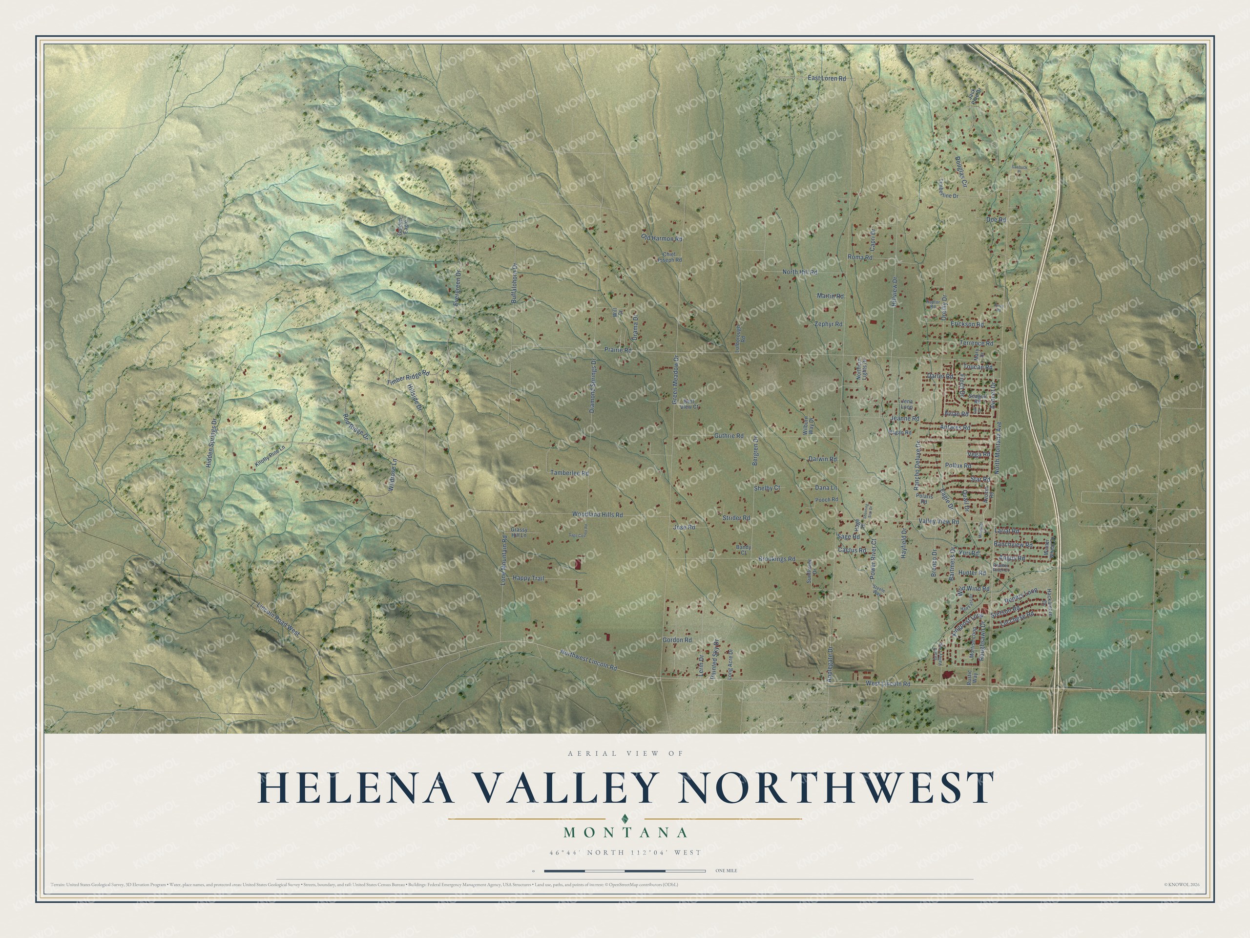
This beautifully detailed map of Helena Valley Northwest, Montana was created in 2026 using aerial imagery combined with modern topographical, census, street and landmark data. It's a modern aerial view of Helena Valley Northwest in Lewis and Clark County, Montana, that combines modern data with a vintage aesthetic. The roads feature printed names, and if you look closely you can find your exact house accurately shown in its correct location.
Explore an aerial view of Helena Valley Northwest, Montana
On this map you'll find Avocet Drive, Power River Court, Lincoln Road West, Northwest Lincoln Road, Finch Drive, Toucan Road, West Lincoln Road, Eagle Drive, Applegate Drive, North Montana Avenue, Woodland Hills Road, Green Meadow Drive, and more. Each red shape is a building, so zoom in on the preview and look for yours.
Helena Valley Northwest is a community in Lewis and Clark County. The Census Bureau counted 4,705 people here in 2020. Helena Valley Northwest sits about 5 miles north of Helena Valley West Central, 6 miles west of Helena Valley Northeast and 10 miles north of Helena West Side. The map prints the town name in its title panel, with the coordinates below it.
Take a closer look at the Helena Valley Northwest map
Names on this map
These names are printed on this map.
Streets and roads: Avocet Drive, Power River Court, Lincoln Road West, Northwest Lincoln Road, Finch Drive, Toucan Road, West Lincoln Road, Eagle Drive, Applegate Drive, North Montana Avenue, Woodland Hills Road, Green Meadow Drive.
More street names, A to Z
Angus Road, Antares Road, Avian Road, Avocet Road, Bandy Court, Bartmess Drive, Bergren Drive, Best View Court, Bronco Drive, Brookings Road, Buffalohorn Drive, Cactus Road, Capri Drive, Chief Joseph Road, Dana Lane, Darter Road, Darwin Road, Diamond Springs Drive, Doe Road, Douglas Circle, Drama Drive, East Loren Road, Erickson Road, Evergreen Drive, Golden Eagle, Gordon Road, Grand Valley Loop, Grassy Hill Lane, Guthrie Road, Hackamore Drive, Hagan Road, Half Fast Drive, Happy Trail, Hayfield Drive, Hidden Springs Drive, Hillside Drive, Hillview Drive, Hoge Drive, Hunter Road, Jack Pine Drive, Jeanne Road, Jena Loop, Jose Road, Kingpost Loop, Knotty Pine Lane, Lariat Road, Lerin Drive, Lone Mountain Road, Long Acre Drive, Lucchese Road, Lufborough Road, Margaret Lane, Martin Road, Mary Drive, Mortise Loop, Northern Lights Drive, North Hill Road, Old Harmon Road, Oreilly Drive, Owl Court, Painted Sky Drive, Percy Road, Polaris Road, Pollux Road, Pooch Road, Powder River Court, Prairie Road, Quail Drive, Rancho Deluxe Drive, Ranchview Road, Raptor Road, Red Ridge Drive, Roma Road, Ropers Loop, Roughsawn Drive, Rustic Way, Sage Coulee Road, Sage Road, Sawbuck Place, Seagull Road, Shelby Court, Shooting Star Drive, Star Road, Steele Way, Stetson Road, Strider Road, Sunflower Drive, Tamberlee Road, Terrence Road, Timberline Drive, Timber Ridge Road, Valley View Road, Vega Road, Wilburn Way Drive, Wildrose Lane, Wild Wind Road, Will Court, Winter Wheat Drive, Yuri Road, Zephyr Road.
See it on a wall
The Helena Valley Northwest map as a framed print. Swipe for more.


Created by KNOWOL in 2026. The buildings are small red shapes, the roads carry their printed names, and shaded relief shows the shape of the land. The title panel reads "AERIAL VIEW OF HELENA VALLEY NORTHWEST, MONTANA" with 46°44' NORTH 112°04' WEST.
It suits a den, a classroom or a front hall, and it makes a gift for anyone with Helena Valley Northwest roots. Open the preview and find the block you know. See sizes and frames for the Helena Valley Northwest map.