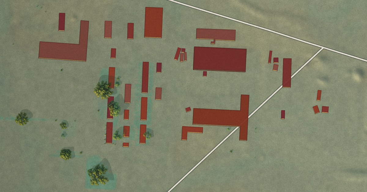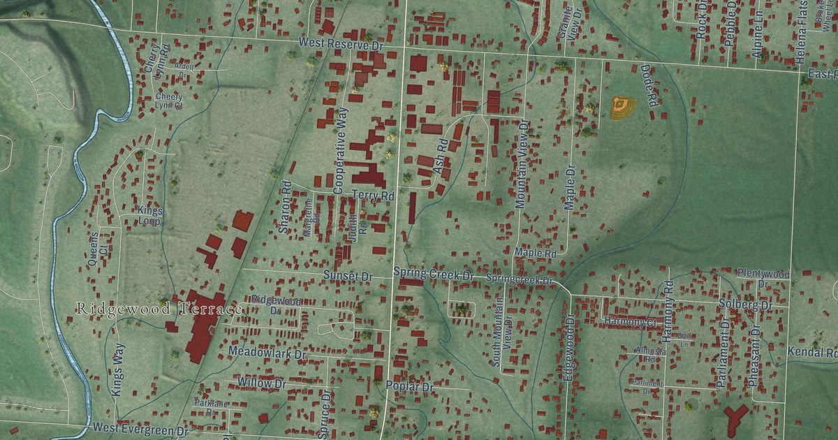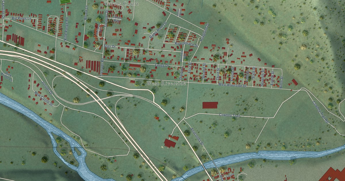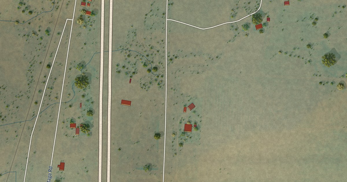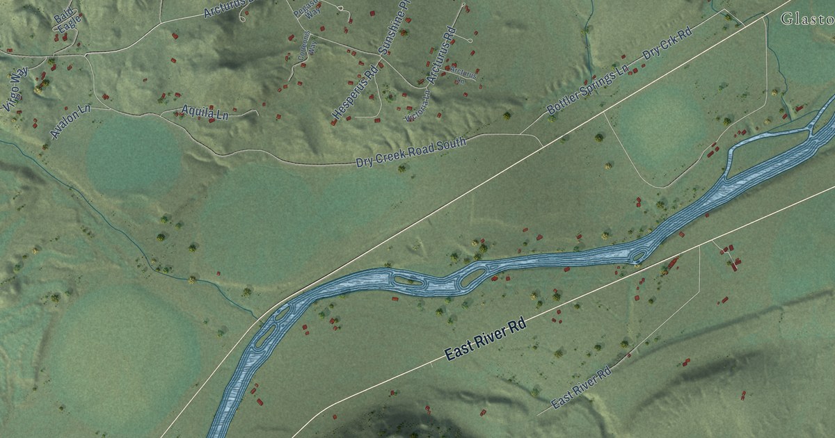
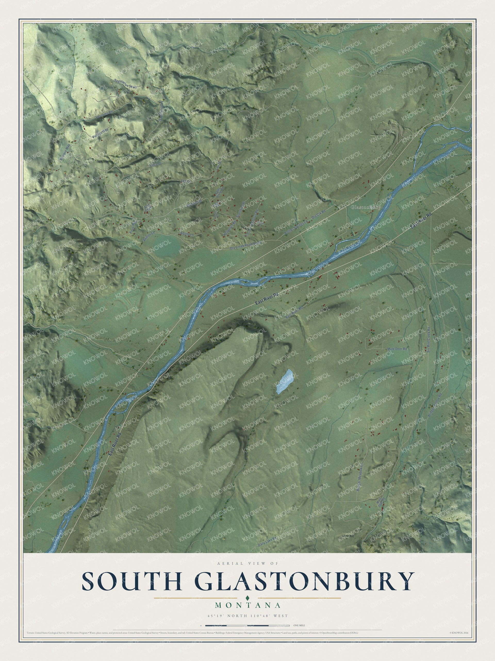
This beautifully detailed map of South Glastonbury, Montana was created in 2026 using aerial imagery combined with modern topographical, census, street and landmark data. It's a modern aerial view of South Glastonbury in Park County, Montana, that combines modern data with a vintage aesthetic. The roads feature printed names, and if you look closely you can find your exact house accurately shown in its correct location.
Explore an aerial view of South Glastonbury, Montana
On this map you'll find Glastonbury, East River Road, Arcturus Drive, Six Mile Creek Road, Hercules Road, Dry Creek Road South, Bridger Hollow Road, Daily Lake Road, Leo Drive, Sagittarius Skwy, Mule Deer Road, Arcturus Road, and more. Each red shape is a building, so zoom in on the preview and look for yours.
Every town has a first chapter, and South Glastonbury is no exception. Fred Bottler came to Montana over the Bozeman Trail in 1865, and around 1868 he and his brother Phil claimed 320 acres on the Upper Yellowstone. Fred served as guide and hunter for the 1872 Hayden Expedition, and early guidebooks called the family's 1874 hotel on the ranch the last abode of civilization. The hotel served Yellowstone Park visitors until the railroad reached Gardiner in 1883, and Fred and his wife Josie then turned to sheep ranching. That's from the Montana Historical Society.
South Glastonbury is a community in Park County. The Census Bureau counted 277 people here in 2020.
Take a closer look at the South Glastonbury map
Names on this map
These names are printed on this map.
Places: Glastonbury.
Streets and roads: East River Road, Arcturus Drive, Six Mile Creek Road, Hercules Road, Dry Creek Road South, Bridger Hollow Road, Daily Lake Road, Leo Drive, Sagittarius Skwy, Mule Deer Road, Arcturus Road, Bridger Meadow Lane.
More street names, A to Z
Aquila Lane, Arcturus Lane, Avalon Lane, Bald Eagle, Bottler Springs Lane, Corleonis Way, Dry Crk Road, Hesperus Road, Leo Lane, Libra Drive, Male Deer Road, Pallas Circle Road, Pegasus Way, Polaris Way, Sagittarius Place, Scorpio Way, Sunshine Place, Victoria Lane, Virgo Way.
See it on a wall
The South Glastonbury map as a framed print. Swipe for more.


Created by KNOWOL in 2026. The buildings are small red shapes, the roads carry their printed names, and shaded relief shows the shape of the land. The title panel reads "AERIAL VIEW OF SOUTH GLASTONBURY, MONTANA" with 45°19' NORTH 110°48' WEST.
Hang it in the hallway, the office or the cabin, or give it to someone who left South Glastonbury and still calls it home. Open the preview and look for a street you know. See sizes and frames for the South Glastonbury map.