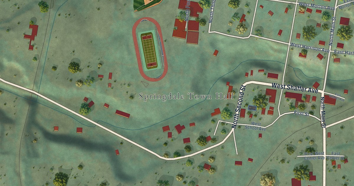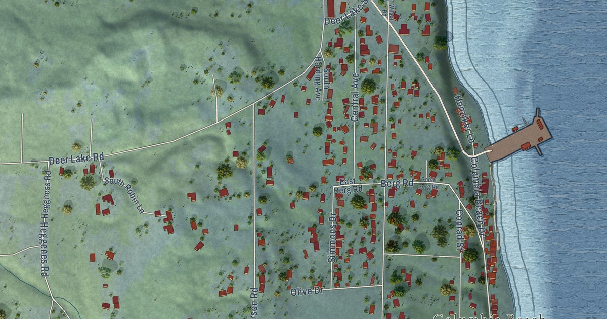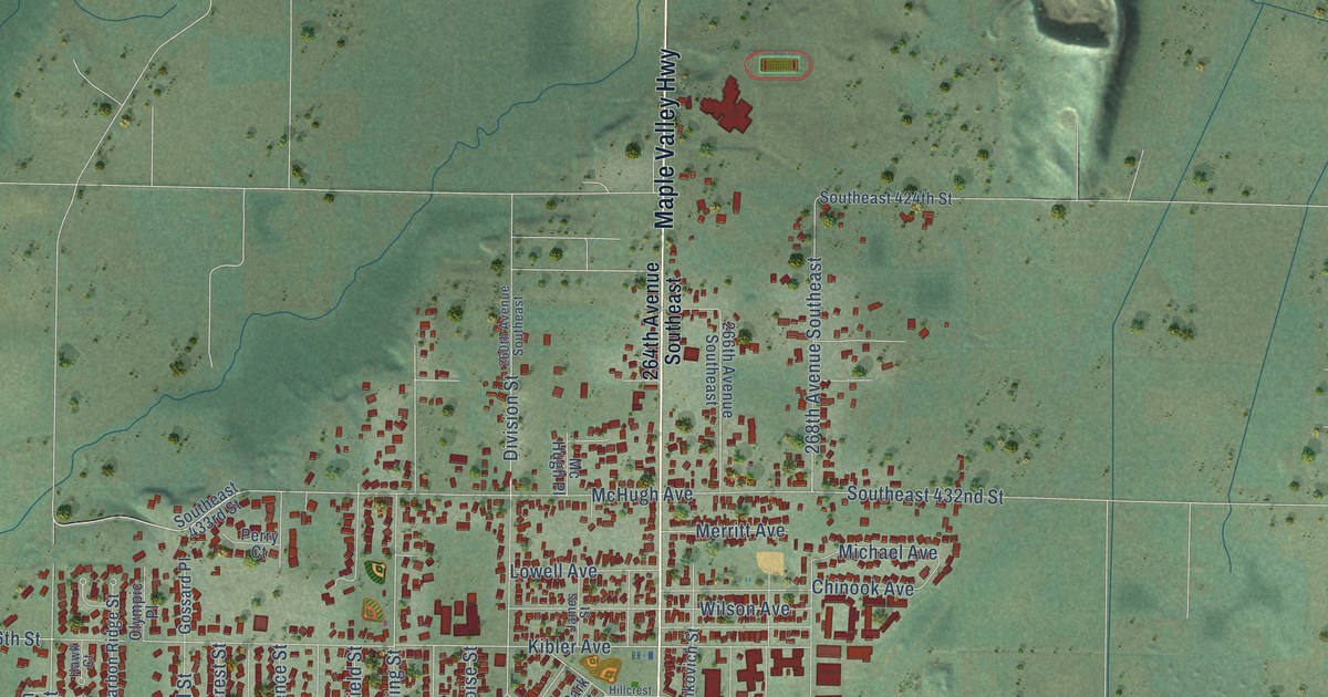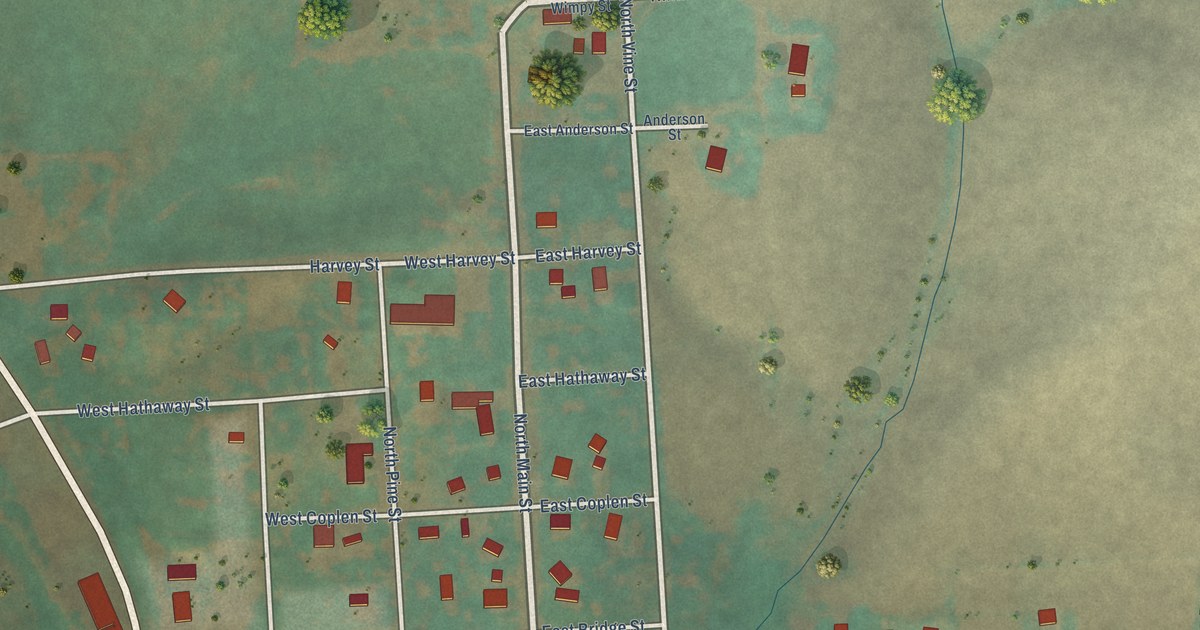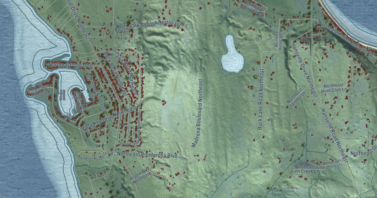
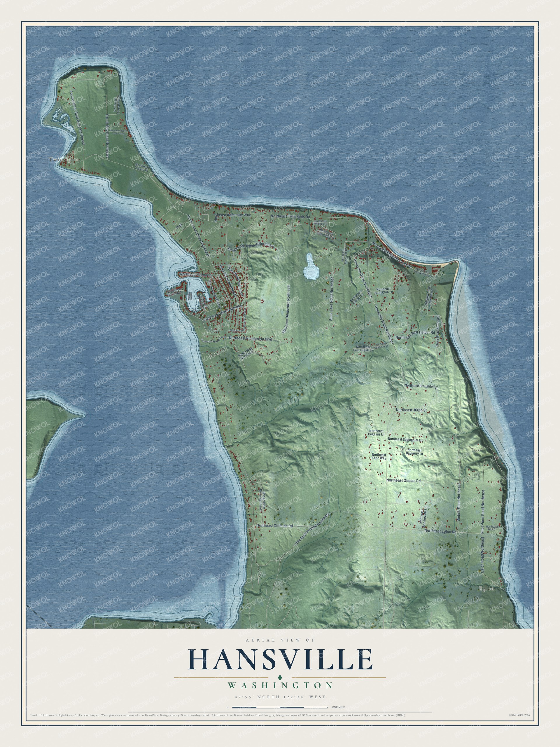
This beautifully detailed map of Hansville, Washington was created in 2026 using aerial imagery combined with modern topographical, census, street and landmark data. It's a modern aerial view of Hansville in Kitsap County, Washington, that combines modern data with a vintage aesthetic. The roads feature printed names, and if you look closely you can find your exact house accurately shown in its correct location.
Explore an aerial view of Hansville, Washington
On this map you'll find Twin Spits, Eglon, Northeast Eglon Road, Hood Canal Drive Northeast, Prdr, Northeast Twin Spits Road, Hansville Road Northeast, Vista Key Drive Northeast, Bodine Road Northeast, Little Boston Road Northeast, Buck Lake Road Northeast, Foulweather Bluff Road Northeast, and more. Each red shape is a building, so zoom in on the preview and look for yours.
Here is a piece of Hansville history. When the post office moved from the Point No Point light station in 1914, the settlement was officially named Hansville after Hans Zachariasen. The story goes that freight for the lighthouse kept getting mixed up with freight for the local fishermen and loggers, so Captain Troutman of the steamer Dode began calling the place Hansville, and the name stuck. Zachariasen, born in Norway in 1854, is often named as the first settler of the north Kitsap Peninsula. He and his wife Petrina came around 1889 and raised eight children. That's from the Washington Heritage Register.
Hansville is a community in Kitsap County. The Census Bureau counted 3,410 people here in 2020.
Take a closer look at the Hansville map
Names on this map
These names are printed on this map.
Places: Twin Spits and Eglon.
Streets and roads: Northeast Eglon Road, Hood Canal Drive Northeast, Prdr, Northeast Twin Spits Road, Hansville Road Northeast, Vista Key Drive Northeast, Bodine Road Northeast, Little Boston Road Northeast, Buck Lake Road Northeast, Foulweather Bluff Road Northeast, Northeast Point No Point Road, Northeast 360th Street.
More street names, A to Z
Aspen Way Northeast, Bay Street Northeast, Benchmark Avenue Northeast, Bridge View Drive Northeast, Buck Road Northeast, Eglon Road Northeast, Fawn Road Northeast, Hansville Drive Northeast, Hillview Lane Northeast, Key Place Northeast, Madrona Boulevard Northeast, Northeast Admiralty Lane, Northeast Admiralty Way, Northeast Bayberry Lane, Northeast Beach Cabin Way, Northeast Bonnieview Lane, Northeast Broughton Court, Northeast Buck Lake Road, Northeast Canal Lane, Northeast Cliffside Road, Northeast Crossett Way, Northeast Eaglepoint Lane, Northeast Farmhouse Lane, Northeast Finn Creek Lane, Northeast Gust Halvor Road, Northeast Hunt Club Lane, Northeast Idlenot Lane, Northeast Keno Way, Northeast Ohman Road, Northeast Pegasus Lane, Northeast Pilot Court, Northeast Ponderosa Boulevard, Northeast Ponderosa Drive, Northeast Tressa Court, Northeast Whidbey Drive, Olympic View Road Northeast, Pilot Point Road Northeast, Point No Point Road Northeast, Skunk Bay Road Northeast, Teel Lane Northeast, Thors Road Northeast.
See it on a wall
The Hansville map as a framed print. Swipe for more.


Created by KNOWOL in 2026. The buildings are small red shapes, the roads carry their printed names, and shaded relief shows the shape of the land. The title panel reads "AERIAL VIEW OF HANSVILLE, WASHINGTON" with 47°55' NORTH 122°34' WEST.
It suits a den, a classroom or a front hall, and it makes a gift for anyone with Hansville roots. Open the preview and find the block you know. See sizes and frames for the Hansville map.